A Fickle Wind

I awoke before dawn and felt the wind on my face. The forecast last night had been reasonable for a solo kayak excursion with a 10 knot breeze predicted in the morning. Standing on the cliff it felt strange indeed with wind seeming to shift and swirl and certainly well above 10 knots. Maybe it would ease at dawn as it often does along this coast. Indeed a fickle wind.

The lighthouse on Troubridge Hill was still beaming seaward and stars were still visible in the sky as I made my way to the launch site.

Troubridge Hill Lighthouse beaming seaward from the hill

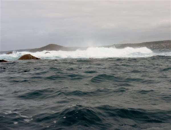
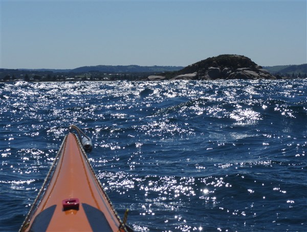
As the sun rose I had a better idea of the conditions from my protected bay, with the wind gusting to 15 knots close inshore. The binoculars showed confused conditions further offshore with standing waves tossing about on the Troubridge Shoal which I needed to traverse if I was to visit Troubridge Island and its’ heritage lighthouse.

I consulted with a local and it seemed not likely to ease any time soon and suggested I find a sheltered spot to enjoy the day .

Getting local knowledge can be hard at times

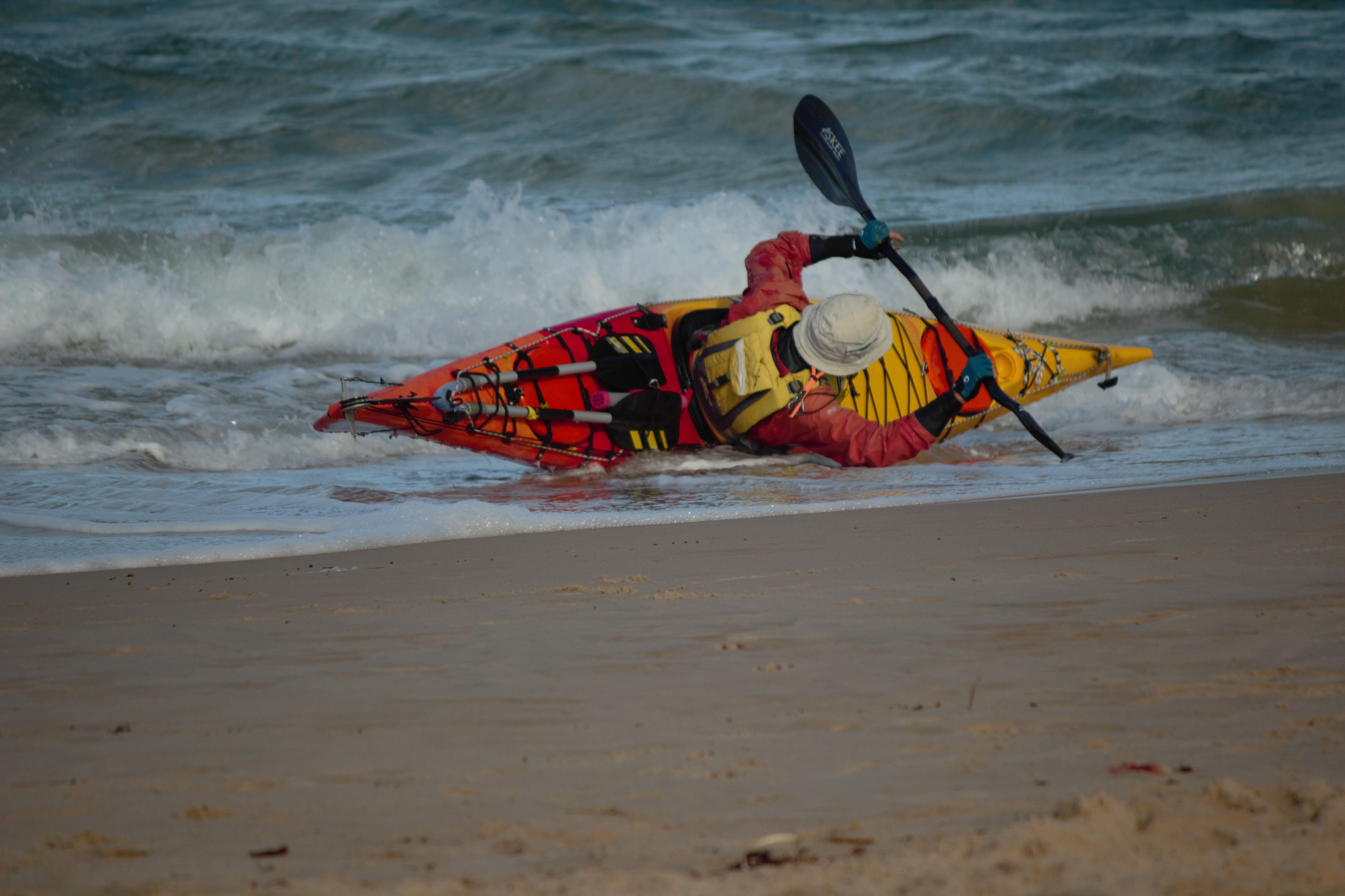
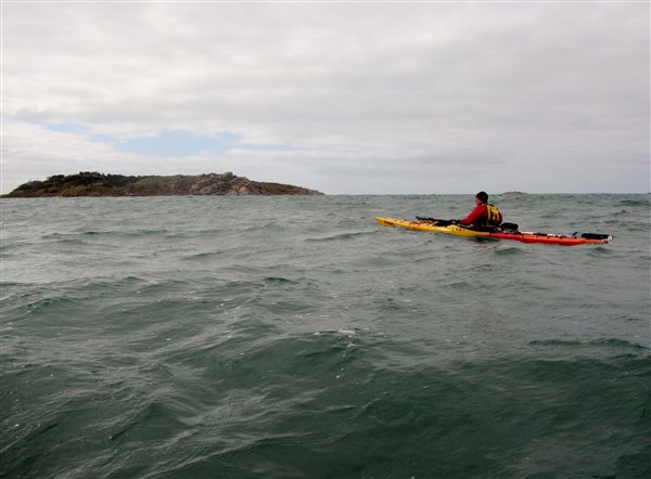
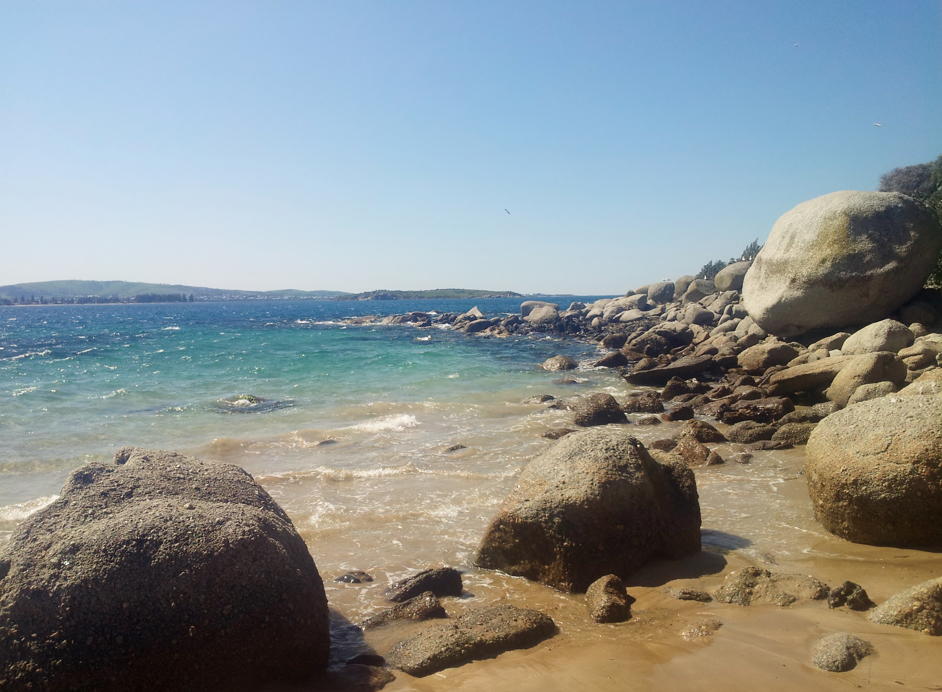
Paddling solo is always full of challenges especially when my route was 8km offshore traversing the Troubridge Shoal which had been the site of so many shipwrecks and groundings. I sat and waited for a while hoping to see some improvement in the conditions but there was none.

Safety first. Decision made. NO offshore paddling today. I thought about my alternatives; I could do some snorkelling and photography under the Edithburgh Jetty……

I might even meet a mermaid

..or I could hit the beaches on the Fatbike or paddle along the more protected section of the coast, staying well inshore. The Paddle idea won out so I put on the coffee and relaxed a while.

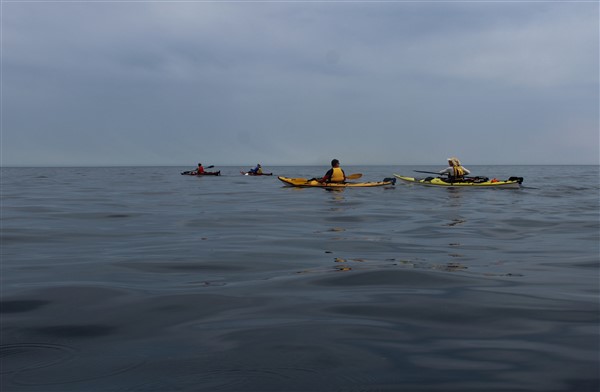
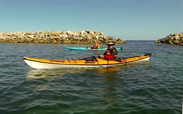
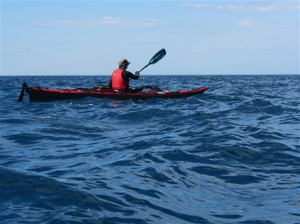
I launched at the Edithburgh marina finding that I was the only vessel heading out today. The plan was to head north towards Wool Bay visiting Coobowie along the way and depending on the wind paddle back or be collected by Robyn.

I was soon out into a 12-15 knot tailwind which sent me rocketing along the coast past the Sea Swimmimg Pool which had a population at this time of day of one.

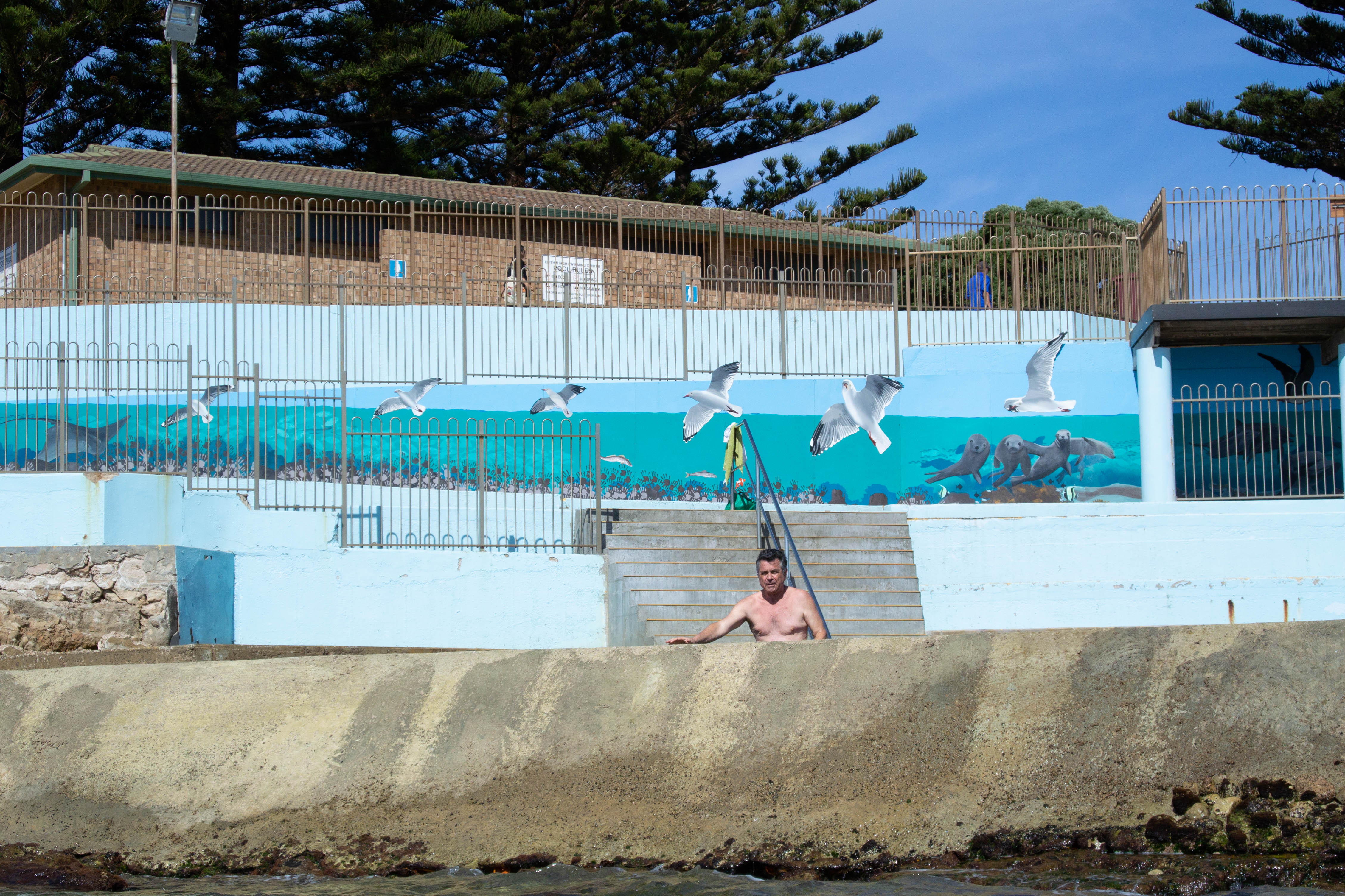
Robyn and I had visited the pool the previous night when conditions had been calm and the temperature warmer.

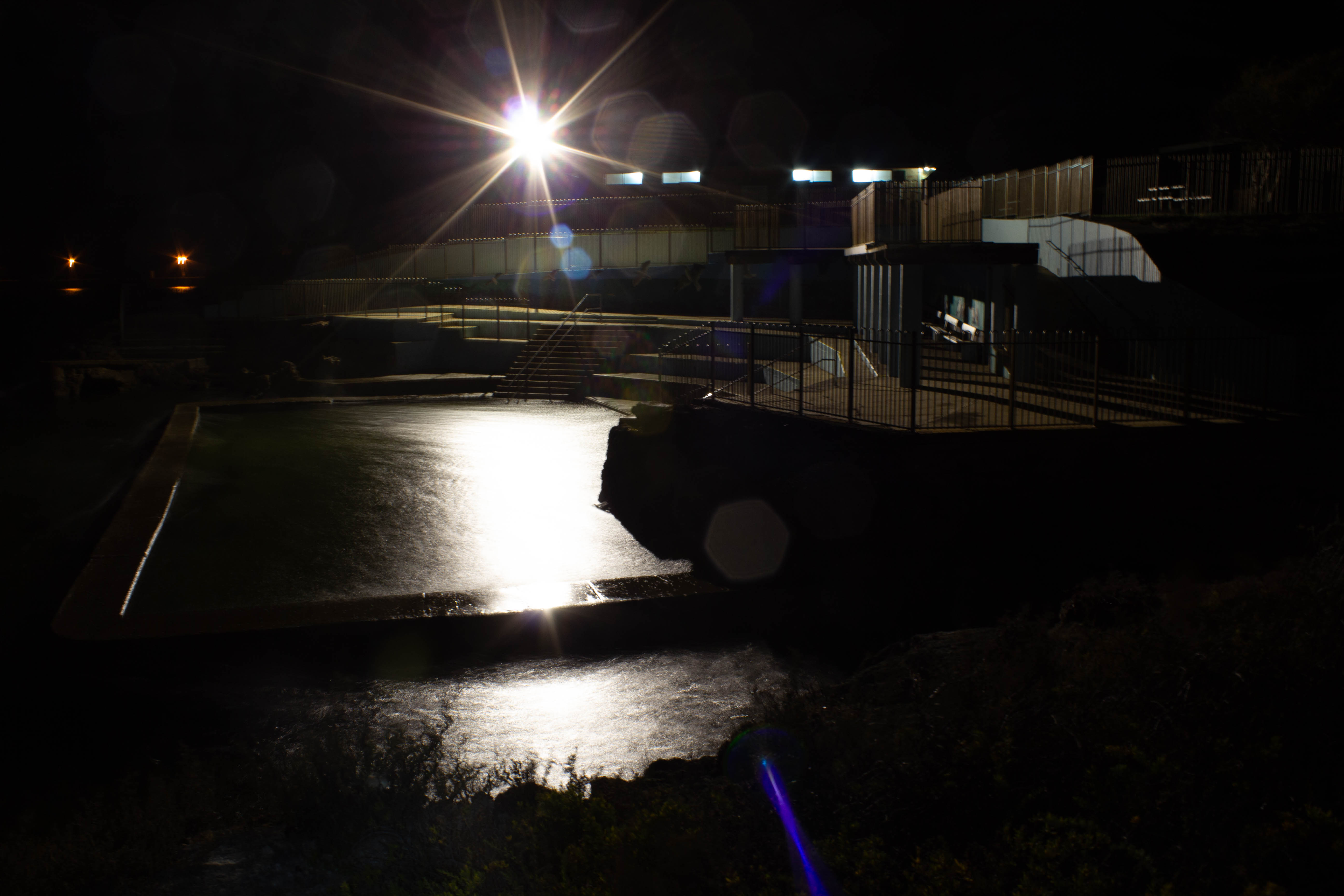
The Pool at night was a nice place to relax.

The marina was also calm last night with the moon reflecting on the water.

The marina bathed in moonlight the previous night

I was soon gliding along enjoying the exercise in company with a local dolphin pod. Unfortunately they were camera shy because as soon as I stopped paddling and grabbed the camera they shot off underwater.

The waters close inshore can be shallow with jagged limestone outcrops to keep you on your toes but overall I had quite an easy down wind paddle towards the oyster beds at Coobowie. I weaved in and around them enjoying the clear water.

Oyster bed structures

Gliding along in clear water made for easy fish spotting

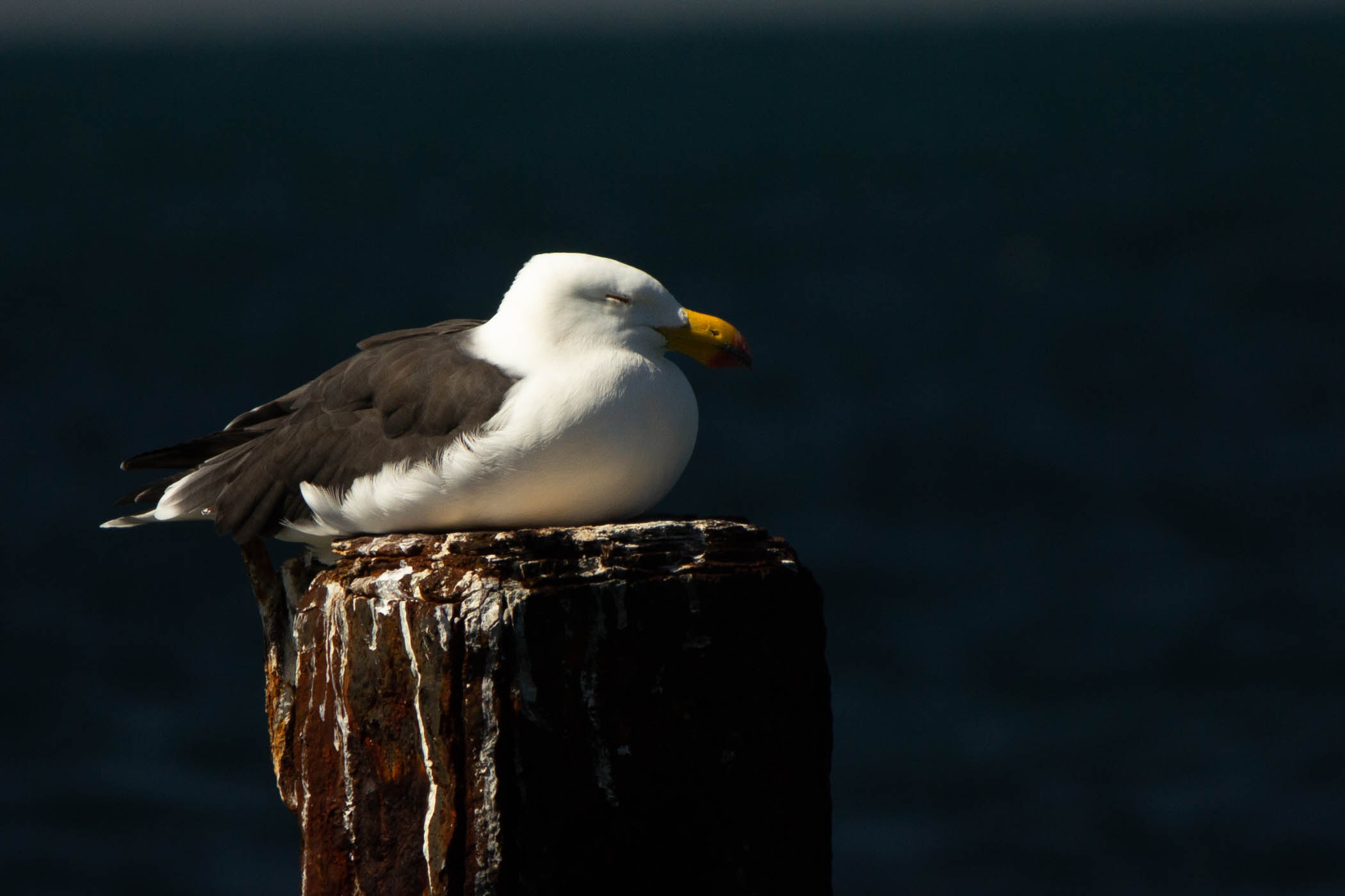
I spotted a variety of fish as well as stingrays in the shallows and an interesting “foul ground” marker.

The float is an aluminium beer keg. Hope they emptied it first.

I ventured further along the coast before turning for home and into a headwind. The return trip was quite uneventful as I stayed in close inshore and out of the worst of the headwind. Returning to Edithburgh I paddled under the jetty noting the damage done by recent storms.

The stairs are closed and held together with chains and strong ropes.

I landed quietly in the marina being the only person to be seen.

My solo paddle to Troubridge Island and it’s historical Lighthouse will have to wait until another day.

Happy Paddling
Ian Pope

Disaster training

Training for Disaster is a philosophy I try to encompass in all aspects of my training as it helps me push the boundaries of my dwindling kayaking skills. I try to look at my kayak skills in different ways and identify the right way and the wrong way. Sometimes it helps to get it wrong in order to improve.

When practicing landing in surf I do it the right way, waiting for a smaller wave to pass under me then paddling after it to chase it shoreward, sliding gracefully up onto the beach and the wrong way, catching the wave, usually broaching the seakayak and having to support stroke as it is bounced along.

Paddle onto the back of a small wave and follow it to shore.

Sometimes you have to wait for a smaller set of waves

Get it right and you will slide gently onto the sand.

Steve shows how it’s done landing between larger sets of waves

Pick the wrong wave and you might meet disaster.

Sometimes you miscalculate badly. That’s me in there somewhere holding onto my paddle

Practicing for the times that you get it wrong will increase your confidence and your ability to recover after errors of judgement and can even make for a lot of fun. You don’t need huge waves to improve skills so try to practice every time you go kayaking.

Often the fun can be just getting out there…..

I was trying to stay dry today !!

Then there are paddlers I know who don’t need to “Train For Disaster”. Disaster is their middle name and part of their everyday paddling life, providing lots of fun moments, some of which are caught on camera like this one.

All Washed Up.  I have no idea what happened here…..but it looks impressive

Cheers ….Ian Pope.

The “Seal of Approval”

Another 38°C (100° F) day was forecast, just rounding out another week of heat. So what to do today ?. The last week had seen strong, hot winds blowing across the Adelaide Plains but today was different. NO wind or just a gentle breeze perhaps, so it was load up the kayak and hit the water.

And indeed there was NO wind or maybe just a wisp of a breeze, hardly enough to evaporate the sweat from the brow but perfect conditions combined with an extremely low tide to do a little exploring. The sky was overcast, covered with tropical layers swirling from the north. The horizon blended into the sky making an eerie landscape and the cliffs stood dark and quiet.

The water was crystal clear and you could easily pick out the bottom at 6 metres.

Crystal clear water

Crystal clear water

Clear water and steep cliffs

Clear water and steep cliffs

We explored a little along the rugged coastline.

Michael drifting along

Michael drifting along

Shaun exploring a small crevice

Shaun exploring a small crevice

This way is a bit squeezy in a Seaward Passat Double kayak

This entrance is a bit squeezy in a Seaward Passat Double kayak… but we manage

Steve in close inspection

Steve in close inspection

Shauna tries not to scratch the new kayak

Shauna tries not to scratch the new kayak

Whats around the corner ?

Whats around the corner ?

Clear waters

Clear waters

We drifted along a little, with no plans to be anywhere at any particular time.

Just floating

Just floating

The photographer

The photographer

….and we were not the only ones enjoying the day.

New Zealand Fur seals enjoying the calm waters

New Zealand Fur seals enjoying the calm waters


We are not alone. Three other kayaks also enjoying the day.

We are not alone. Three other kayaks also enjoying the day.

We got ourselves in a few tight places with the slightest of swells gently moving the kayaks in and out of rock crevices.

Shaun again and the crevices are getting smaller

Shaun again and the crevices are getting smaller

It was a great day on the water.

Calm waters

Calm waters

We just needed one more thing..and there he was ..the kayakers “Seal of Approval”.

The "Seal of Approval"

The “Seal of Approval”


Photos by Ian and Shauna

ian smurf crop (2)stick shauna


Kayak drifting by
Shaun                                 Steve                 Michael                     Robyn

jim2kingYogi bearRobyn

The Blowhole

Sea kayak Day Paddle – Cape Jervis to Blowhole Beach.  Actually there isn’t really a blowhole there, not like the type we normally think of where towering waves crash onto a rocky coastline sending plumes of spray skywards. This is Blowhole Creek  in the Deep Creek National Park and one of the picturesque beaches along this very rugged coastline. I have been visiting this beach for the last 40 years and the only thing that has changes is that you can now access it via a 4WD track from within the National Park. In the old days it was a rocky walk down a rough track or straight down the fence line on Cobblers Hill.

This area has a tidal stream of up to 3 knots as water empties and refills the Gulf St Vincent so all paddling needs to be planned with the tides.  My many years experience paddling this coast have also taught me to be very cautious of forecasts and take more notice of the conditions at the time as well my own observations.

The weather forecast a couple of days out had been for smooth seas and light winds so we planned a trip along the coast from Cape Jervis to Blowhole Creek and return. We gathered 5 local paddlers together with the idea of exploring the rocky coastline up close, if the weather forecast was correct.

The "5 fine young men" ready for action

The 5 “fine young men” ready for action

Arriving at Cape Jervis we found that the Backstairs Passage between the mainland and Kangaroo Island was just starting to have white caps on the horizon, stirred up by a Sou’Easterly breeze. Great….another day of headwinds and certainly not what we had hoped for but inshore it would be much calmer.

We got organised and waited in the shelter of the marina for the Kangaroo Island ferry to leave.

Waiting for the KI ferry to leave

Waiting for the KI ferry to leave

Then we plodded off into the increasing gusts.

Michael and Steve

Michael and Steve

Of course there is a shipping lane in Backstairs Passage so you need to keep a wary eye on the horizon.

The Ferry and Container ship crossing paths

The Ferry and Container ship crossing paths

Sean and Michael in the protected waters

Sean and Michael in the protected waters

Heading out of the protection of Cape Jervis. Kangaroo Island in the distance.

Heading out of the protection of Cape Jervis. Kangaroo Island in the distance.

Looking at my GPS I thought “ Hey this was supposed to be an easy paddle riding the ebb tide, but we are only making 5km/hr in the strengthening wind. We decided to stay close inshore and use the headlands for protection from the breeze.

Paddling close inshore to avoid the winds.

Ian showing the way.

We reached Lands End and passed close in at Whites Beach where the underwater power cable goes to Kangaroo Island.

Staying in close

Staying in close

We soon arrived at the more interesting section of the paddle, where the steep cliffs fall straight into the water.

Clear water and shelter from the wind

Clear water and shelter from the wind

This allowed us to get up close and personal with the rocks and swell. As usual Steve was found bobbing around among the rocks.

Steve inspects another crevice

Steve inspects another crevice

Rugged coastline

Rugged coastline

Inspecting the rocky coastline

Inspecting the rocky coastline

We “played” our way along the coast to Naiko inlet which is a small inlet with sandy beach. There we spotted the first signs of life for the trip. Maybe Alien life was a better description as we spotted a spaceship landed among the native bush.

Signs of life on the hill

Signs of life on the hill

A closer view of the landing spot

A closer view of the landing spot

Soon Cobblers Hill was in sight with Blowhole Beach just around the headland. We could see bushwalkers on the Heysen Trail which runs 1200 km from Victor Harbor to Parachilna Gorge in the northern Flinders Ranges.

One more headland to go

One more headland to go

A landing through small surf got us onto the pristine beach for lunch.

Blowhole Beach

Blowhole Beach

Rodney surprised with a bowl of fresh strawberries, cherries and grapes to share. Who said he’s disorganised ??

The lunch spot

The lunch spot

Looking SW

Looking SW

Looking towards Kangaroo Island

Looking towards Kangaroo Island

Then back on the water through a small surf we found that the wind had abated slightly but still gave us an easy ride home as we picked up the start of the flood tide.

Steve on the way out

Steve on the way out

Again we played around in  some rock gardens resulting in me high and dry on rocks. (sorry no photos !!)

Having fun

Having fun

Among the rocks again

Among the rocks again

Checking out a small ravine

Checking out a small ravine

Many years ago some intrepid fisherman built a “get away” on the headland which is now complete with TV antenna. Unfortunately you can see that the “room with a view” has lost its’ door to a recent gale and now resides at the bottom of the cliff. Still your hardly likely to get too many interruptions here.

Room for one

Room for one

We arrived back at Cape Jervis just in time to see the Kangaroo Island ferry heading out for Penneshaw. A great way to spend a day on this mainly deserted coastline with a pristine beach lunch stop.

Arriving at the Cape as the ferry departs

Arriving at the Cape as the ferry departs

This is an excellent place for exciting paddling especially as the swell and associated clapatis increases. It should only be paddled by those with the appropriate sea skills and of course a properly fitted out sea kayak.

Happy Paddling
Ian Pope

blowhole (2)


Starting point. Cape Jervis
Distance. 18km return
Hazards. This area is subject to a tidal stream of up to 3 knots so paddlers must take this into account on all trips. Note that South Australia has “dodge tides” and more information is available from the Bureau of Meteorology website (bom.gov.au). There are many reefy/rocky areas along the coast as well as the possibility of large breaking waves with the predominant swell being from the SW. There are limited landing spots along this coast even in good conditions. Take care and seek local knowledge.

Chart AUS 780

Paddlers and Photographers Ian, Shaun, Steve, Michael and Rodney

ian smurf crop (2)

jim2 king Yogi bear Sir Rodney Hubert Biggs

Spring Equinox paddle

Sea kayak Day Paddle –  Seal Island Victor Harbor. Well not so much a day paddle, more like a morning sojourn which can be everything from calm to crazy. Today it was moving towards the crazy side.

It’s the Spring Equinox today and you would think we could rustle up a little spring weather for our Spring Equinox paddle but it was nowhere to be seen. It was another of those strange days you get at Victor Harbor in Spring, where it promises sunshine but delivers cold overcast skies. The forecast was for gentle 10kn SE’ly winds with clear skies but the reality was a 15-18kn SE’ly wind opposing a 2 metre SW swell, overcast skies and a temperature around 13C.

Not ideal conditions for this area today and even under ideal conditions you should have good “sea kayak skills” to paddle this area. However, two of us were standing on the beach with not much else to do except get cold and wet so off we went.

The plan was to paddle from Kent Reserve towards Granite Island, skirting an area of reefy breaks and bommies, then head out to Seal Island, returning via the eastern side of Granite Island.

We headed out getting some protection from Granite Island.

IMG_1445 - Copy

Although the seas soon became confused with wind against swell.

Seal Island in the distance

Seal Island in the distance

It then became impossible for me to take photos as I was tossed in the steep waves from the wind driven SE hitting the SW swell and also being thumped by occasional large clapatis waves from Granite Island. “BHOP time” (both hands on paddle)

We worked our way out around the various reef breaks .Seal Island is protected by a number of reefy breaks and today all of them were savage.

Nearing Seal Island

Nearing Seal Island

We reached a small protected area near Seal Island.

Reaching a calmer area

Reaching a calmer area

Even the seals decided it was too rough to come out and greet us.

Too cold and wet even for the seals

Too cold and wet even for the seals

Steve was a very happy boy to find a little sheltered spot.

A short respite from the wind

A short respite from the wind

After our short visit with the seals we headed back towards the eastern side of Granite Island with a large lumpy following sea. Again photos were a little difficult to get.

Riding the crests

Riding the crests

Once around the breakwater we were in calm water.

Rounding the breakwater

Rounding the breakwater

Calm waters

Calm waters

Then onward past the jetty.

The boat wharf.

The boat wharf.

Under the causeway

Under the causeway

We watched the tourists on their way onto Granite Island aboard the horse drawn tram…..

IMG_1494

…and then spent some time playing amongst the rocks.

Protected waters

Protected waters. Encounter Bay township in the distance.

Getting up close and personal with granite boulders

Getting up close and personal with granite boulders

Sliding on the swells

Sliding on the swells

A great morning of paddling to celebrate the Spring Equinox. Now where’s my mountain bike ? I’m heading north to where it’s warmer.  Ian…Paddling South.

Starting point. Kent Reserve Victor Harbor

Distance. 8.5km

Seal Island Victor Harbor paddle

Seal Island Victor Harbor paddle

Hazards. A number of dangerous rocks are charted as well as reefy areas. Clapatis from Granite Island can make for a very confused sea in some places. Swell may break near Granite Island. Consult marine chart before attempting. Avoid paddling close to south side of Granite Island due to large swells breaking and dangerous currents.

Chart AUS 127

pope2king


Paddlers and photographers

Ian                                              Steve

Sea kayak day paddle. West Island Victor Harbor.

 Some of my favourite paddling areas are along the coastline, south of Adelaide.  Accessible for paddlers with appropriate “kayak sea skills” and a properly fitted out sea kayak the West Island of Victor harbor is a perfect day paddle…. Ian “Paddling South”.

I had been invited to join 3 paddlers who were spending a beautiful spring day exploring the area of West Island, just offshore from Victor Harbor, which is 83km south of Adelaide.

This is a great place to paddle in calmer conditions and can test your ability in fresher conditions due to the prevailing swells from the Southern Ocean and clapatis from the granite headlands.

Shauna, Steve, Shaun and myself set off in what was predicted to be a 10-15kn Northerly wind , but was actually a 10-12kn South Easterly. That’s fairly typical on this southern coast where things rarely go to plan, and there is always the possibility of sudden and sometimes severe weather changes.

IMG_1352

Shauna leaving the Davenport anchorage

Leaving Kent Reserve in the Davenport Anchorage our plan was to pass on the inside of Wright Island, head out through Shark Alley which is the passage between Wright Island and the mainland Bluff, then head along the coast to West Island.

Steve on his way to The Bluff

Steve on his way to The Bluff

The SE wind made for good time to Wright Island where we passed close to its’ small beach.

IMG_1353

Wright Island beach.

I was able to pass very close to its’ western side.

IMG_1354

The western side of Wright Island. Calm today but normally hit by SW swells.

As we cleared the wind break of the island the winds and opposing  swell, combined with clapatis from the Bluff to give us a bumpy ride. (If you are not totally comfortable here, turn back now !!).

We were able to get in quite close to the south side of the bluff and could see a group of rock climbers on top of a large granite slab.

Spot the rock climbers?

Spot the rock climbers?

We could see West Island ahead of us.

IMG_1363

West Island ahead

IMG_1366

King Beach on the right as the cliffline starts

IMG_1367

Steve spotting wildlife

West Island is a 10 ha granite island that rises to a maximum height of about 40m in the south-west. Its main conservation value lies with its seabird colonies and small marine research station.

IMG_1373

West Island research station

During the 1880’s it was quarried for granite to construct the foundations of Parliament House, Adelaide. From 1913 until the mid-1960s it was zoned as a Reserve for Government Purposes and, for a short period, was used by the Adelaide University Regiment as a target for gunnery practice during field exercises. In 1966 it became a fauna reserve. It was declared a Conservation Park in 1972 and in 1973 and 1975 Pearson Island rock-wallabies were introduced to the island. I am still to spot one of the wallabies on the island so maybe they have not fared well.

The island has a number of NZ fur seals who were lazing on the granite boulders or swimming around our kayaks.

seals west islan 4d

Seals coming out to greet us

seals west island 1

…and coming in for a closer look

seals west island2

Shauna tries to capture this guy on film

Breeding seabirds include Little Penguins, Silver Gulls, Caspian and Fairy Terns. The Little penguin population has suffered a dramatic decline since the 1990’s. In 1992, the population was estimated to be around 4000 penguins. In June 2011, the population was estimated to be less than 20 penguins.The decline echoes the decline of the colony on nearby Granite Island and many other island in the southern ocean and the cause is still largely unknown.

IMG_1381

Shaun investigating where granite has been mined in the past

With the wind abating for a short period we circumnavigated the island……

IMG_1424

Western side of the island where the water is 30m deep

IMG_1395

Granite boulders in strange stacks

IMG_1420

Shaun having a closer look at the coastline

It's getting a little bumpy now

It’s getting a little bumpy now

IMG_1399

Granite seascapes

………….with Steve playing for a while in “rock gardens”.

IMG_1418

Now be careful Steve

IMG_1419

Having FUN

We then steered a course back to Wright Island and its’ small beach as the wind started to swing to the predicted NE direction. A great spot for lunch.

IMG_1425

The predicted wind finally arrives.

Lunch on the beach ……….

20150913_125525

….followed by a head wind paddle back to our starting spot made for a very enjoyable day.

20150913_125205

IMG_1359


This is an excellent place for exciting paddling especially as the swell and associated clapatis increases. It should only be paddled by those with the appropriate sea skills and of course a properly fitted out sea kayak.

log

Starting point. Kent Reserve Victor Harbor

Distance. 13km

Hazards. A number of dangerous rocks are charted as well as reefy areas. Clapatis from the headlands can make for a very confused sea in some places. Swell may break in some parts of Shark Alley. Consult marine chart before attempting. Avoid Petrel Cove, west of Rosetta Head due to rips and dangerous rocks.

Chart AUS 127

Paddlers and photographers

stick shauna

kingpope2jim2


Shauna                      Steve                      Ian                        Shaun