
Another 38°C (100° F) day was forecast, just rounding out another week of heat. So what to do today ?. The last week had seen strong, hot winds blowing across the Adelaide Plains but today was different. NO wind or just a gentle breeze perhaps, so it was load up the kayak and hit the water.
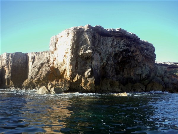
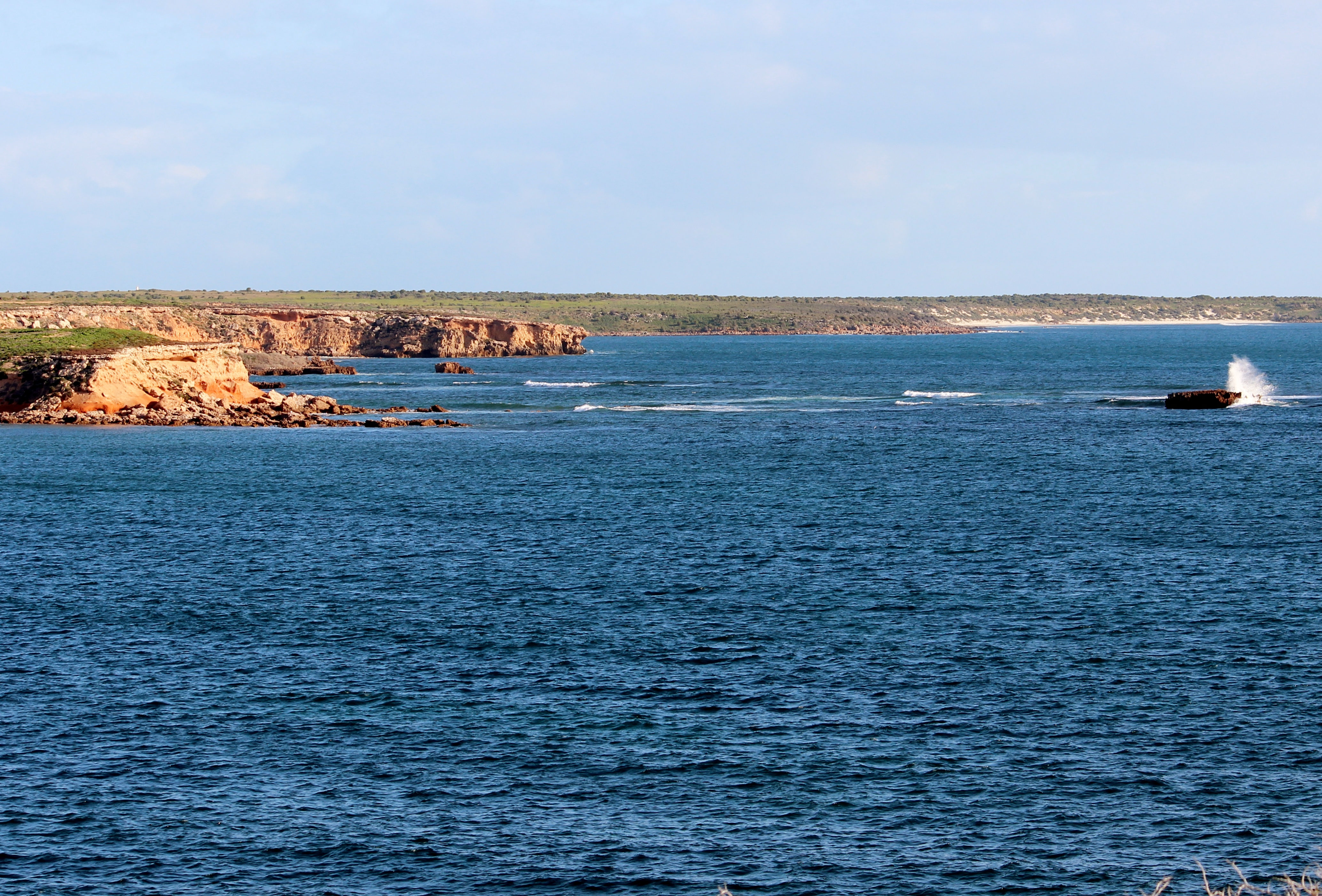
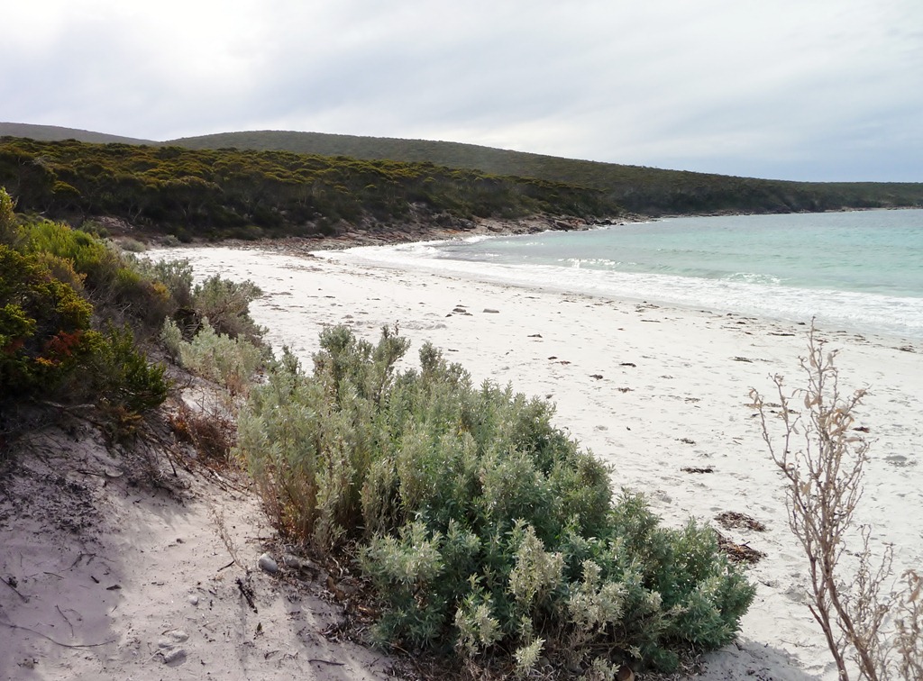
And indeed there was NO wind or maybe just a wisp of a breeze, hardly enough to evaporate the sweat from the brow but perfect conditions combined with an extremely low tide to do a little exploring. The sky was overcast, covered with tropical layers swirling from the north. The horizon blended into the sky making an eerie landscape and the cliffs stood dark and quiet.
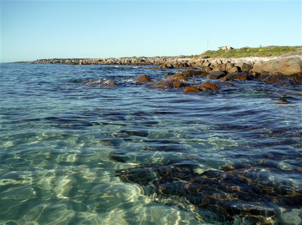
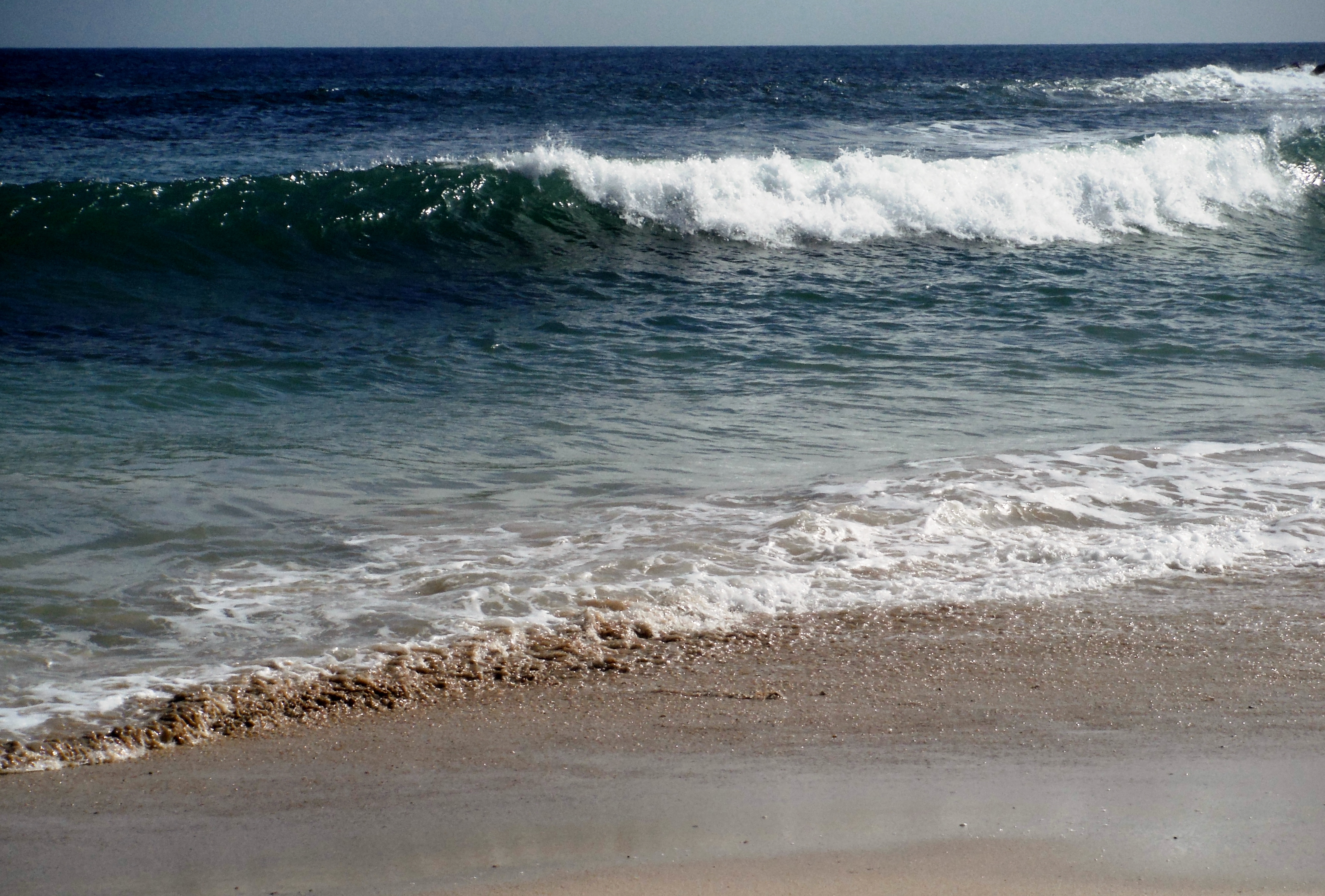
The water was crystal clear and you could easily pick out the bottom at 6 metres.
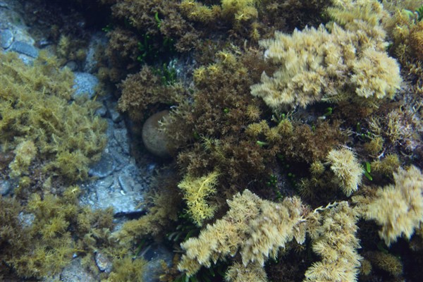
Crystal clear water

Clear water and steep cliffs
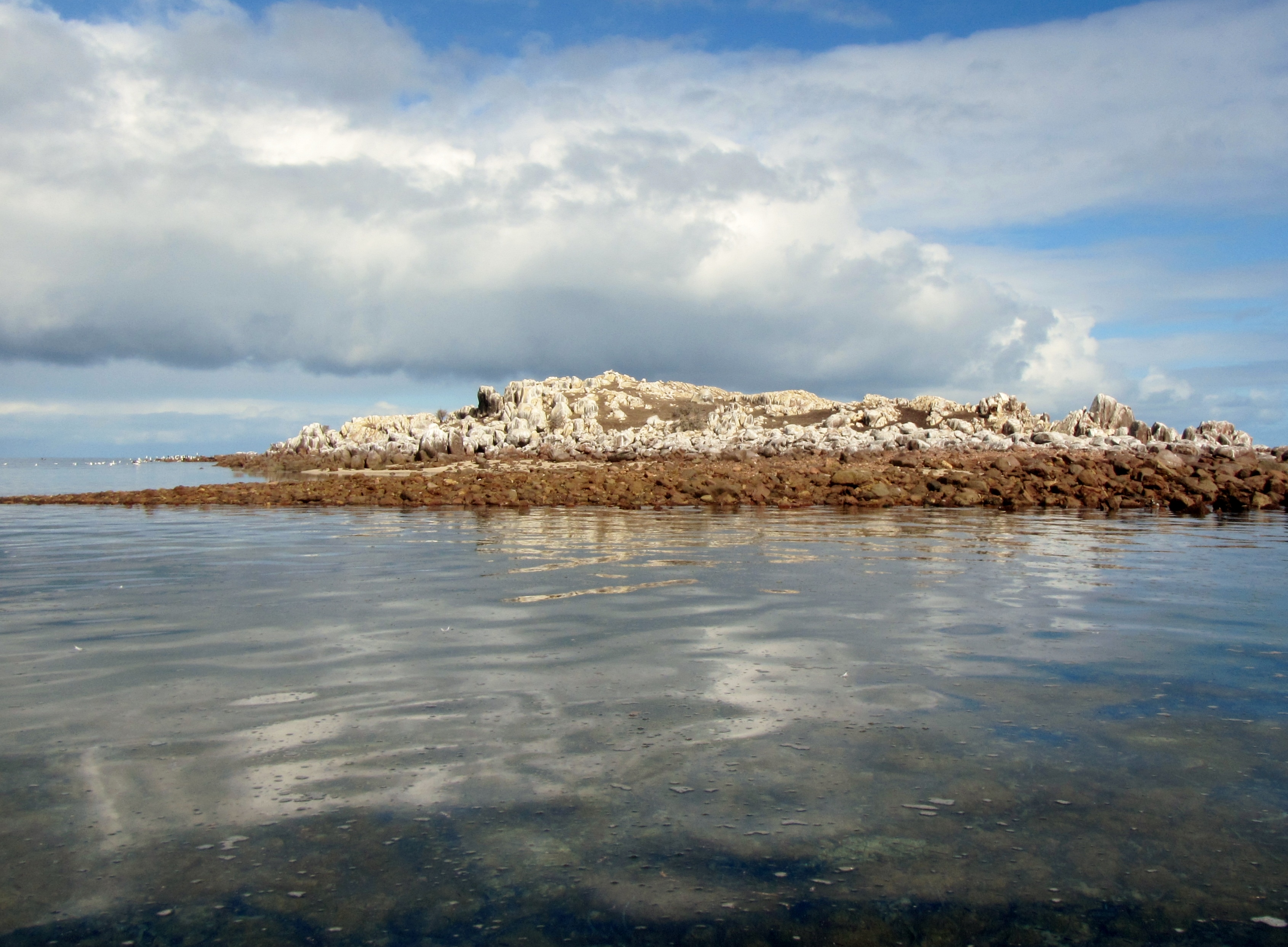
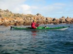
We explored a little along the rugged coastline.

Michael drifting along

Shaun exploring a small crevice

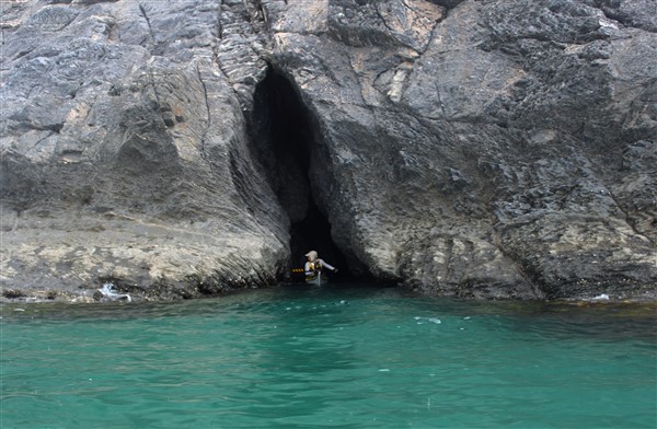
This entrance is a bit squeezy in a Seaward Passat Double kayak… but we manage
Steve in close inspection

Shauna tries not to scratch the new kayak

Whats around the corner ?

Clear waters
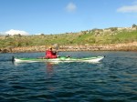
We drifted along a little, with no plans to be anywhere at any particular time.

Just floating

The photographer
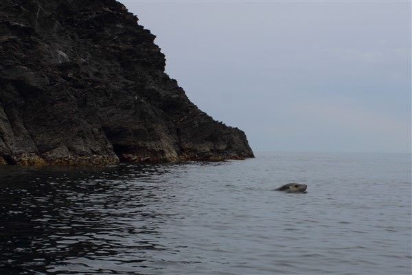
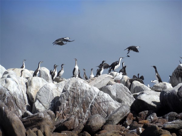
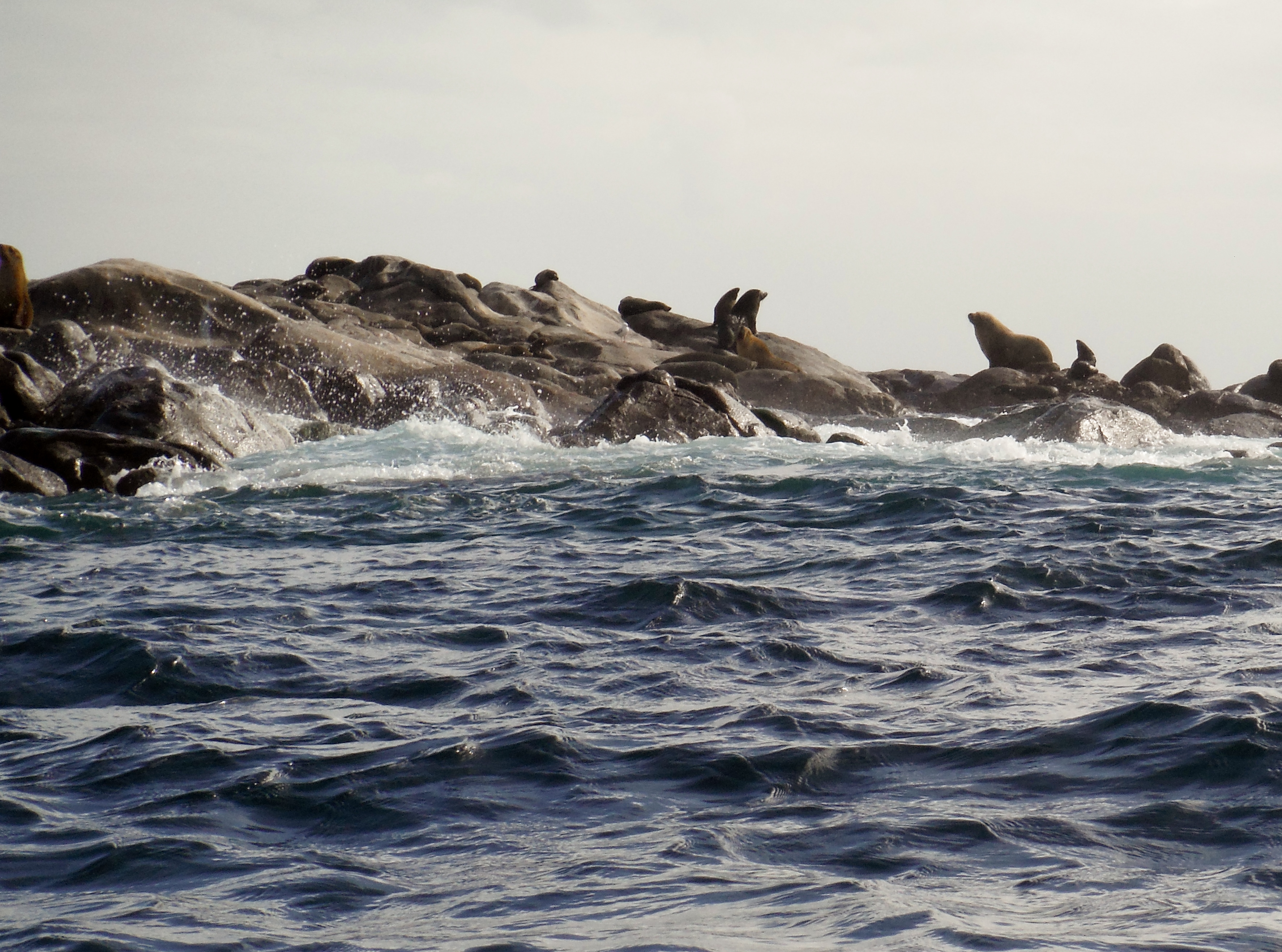
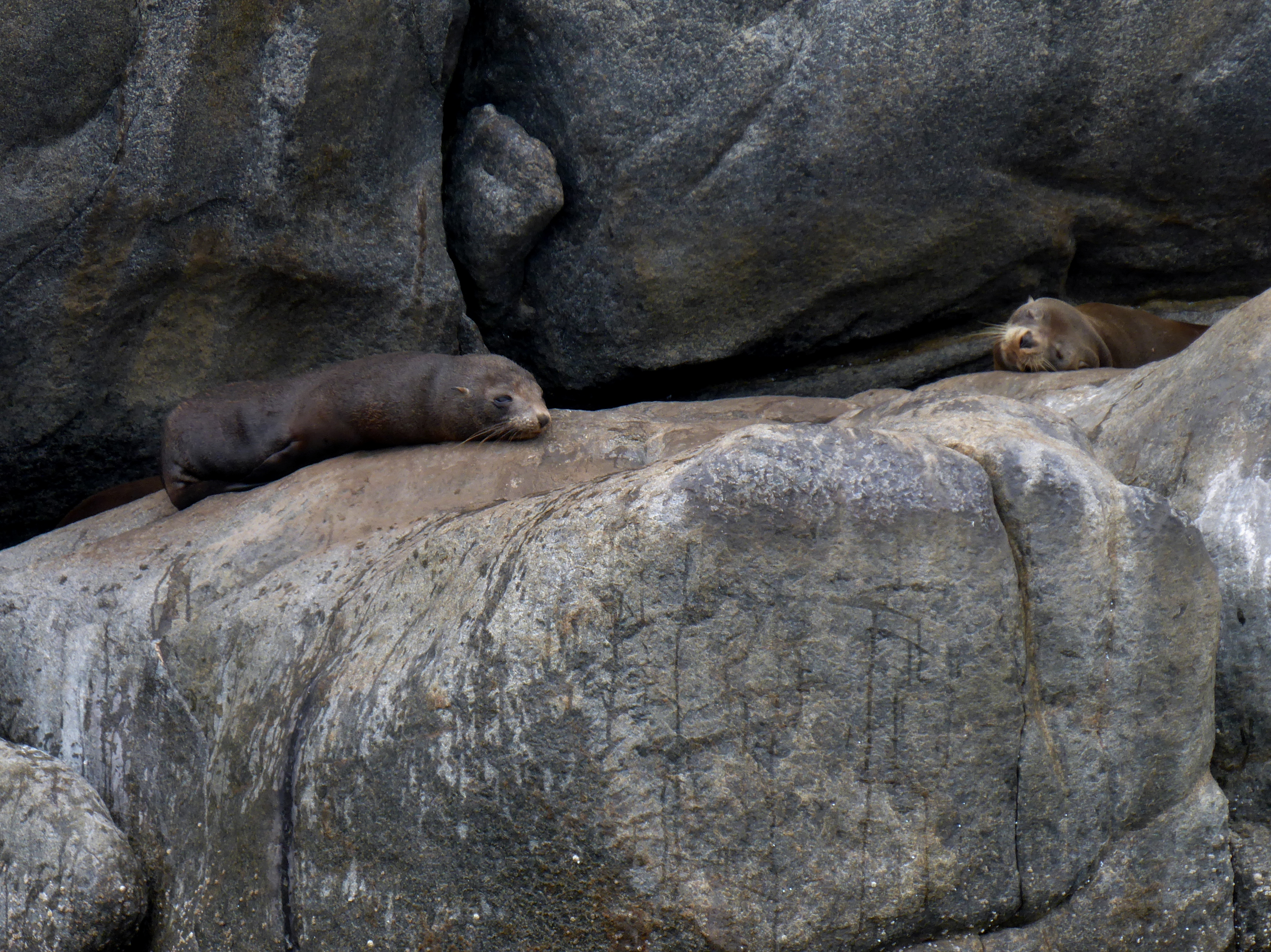
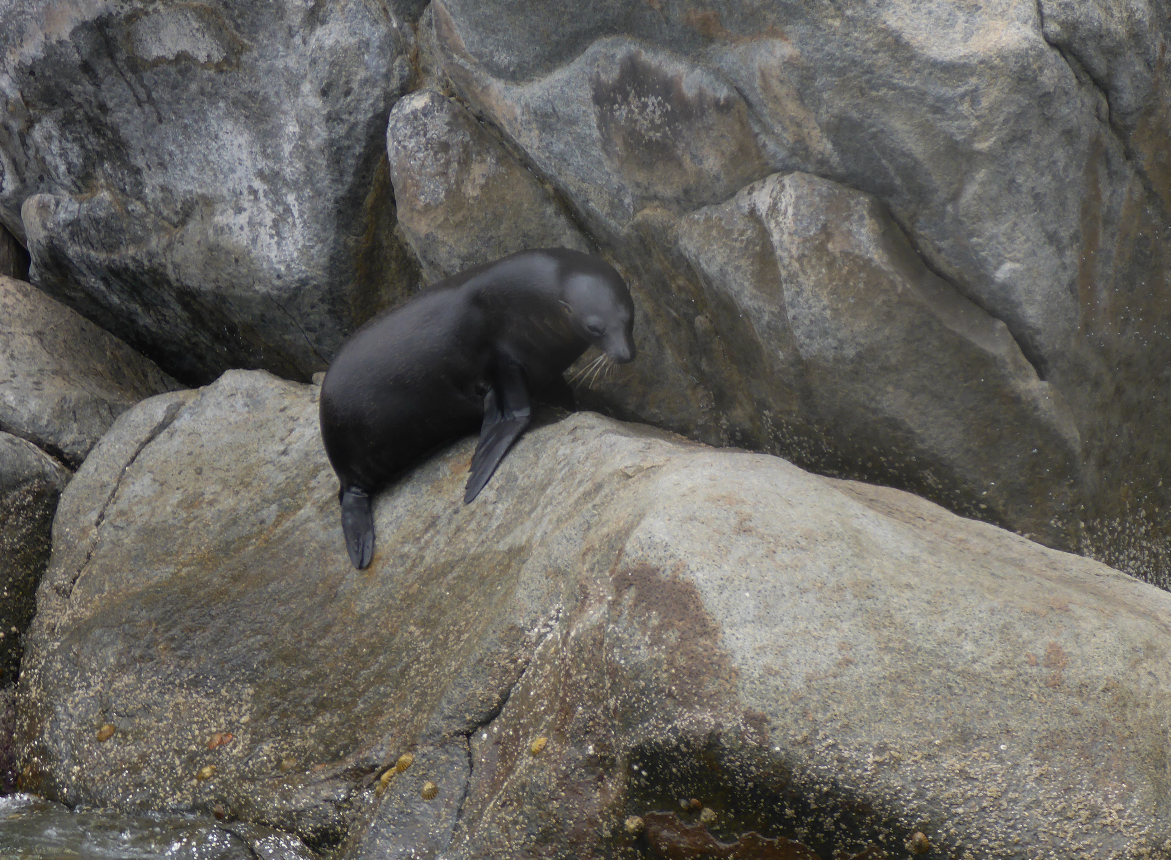
….and we were not the only ones enjoying the day.

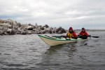
New Zealand Fur seals enjoying the calm waters

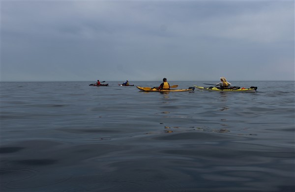
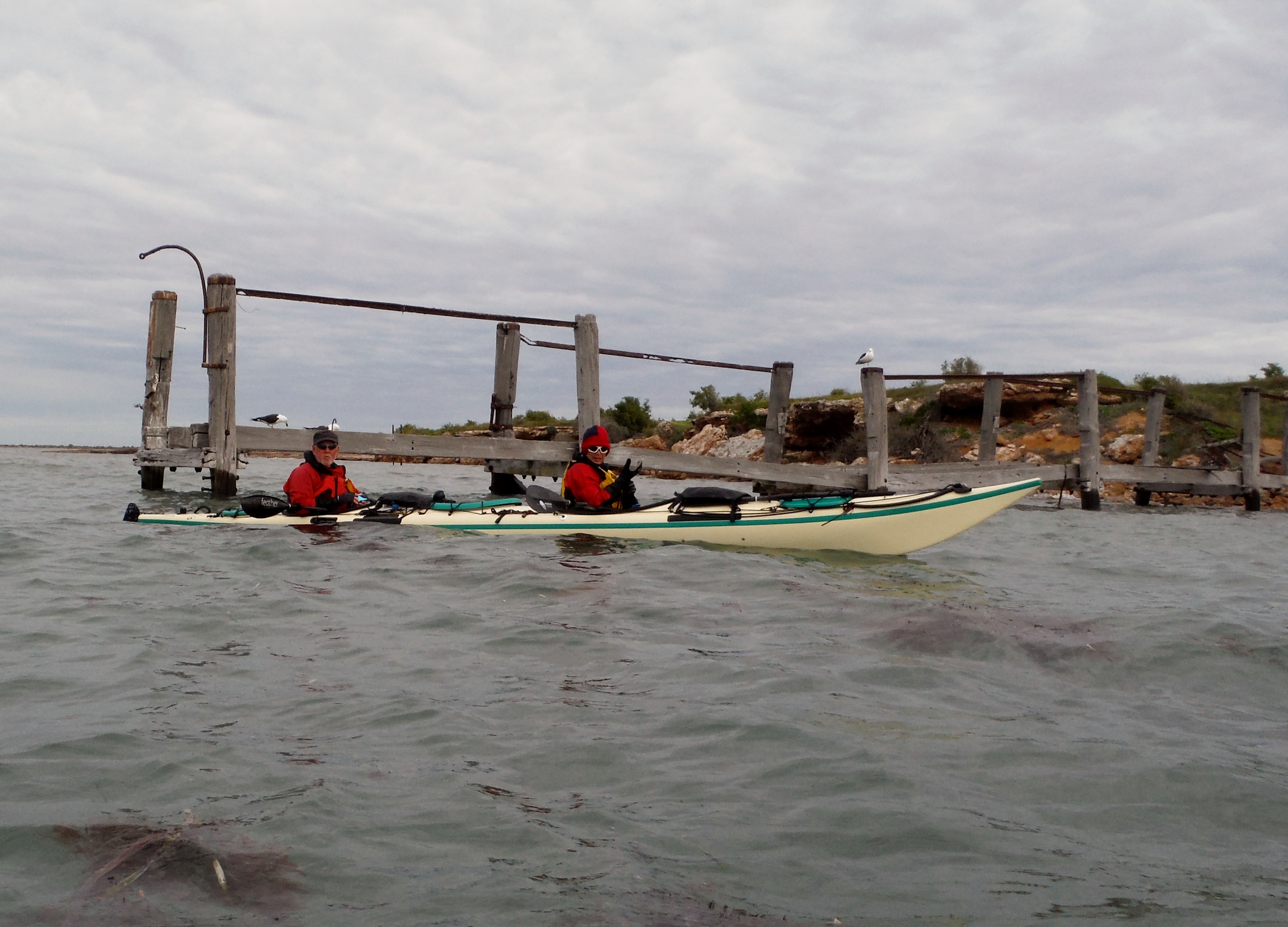
We are not alone. Three other kayaks also enjoying the day.
We got ourselves in a few tight places with the slightest of swells gently moving the kayaks in and out of rock crevices.

Shaun again and the crevices are getting smaller
It was a great day on the water.
Calm waters
We just needed one more thing..and there he was ..the kayakers “Seal of Approval”.
The “Seal of Approval”
Photos by Ian and Shauna

Kayak drifting by
Shaun Steve Michael Robyn


