
The Aagot, an iron Barque of 1242 tons, built at Glasgow, 1882, as the Firth Of Clyde, but now laying on rocks on Wardang Island. A gale on 11 October 1907. wrecked the ship in rough seas and imprisoned the crew on board until the ebb tide moderated conditions and allowed a member of the crew to swim ashore with line. 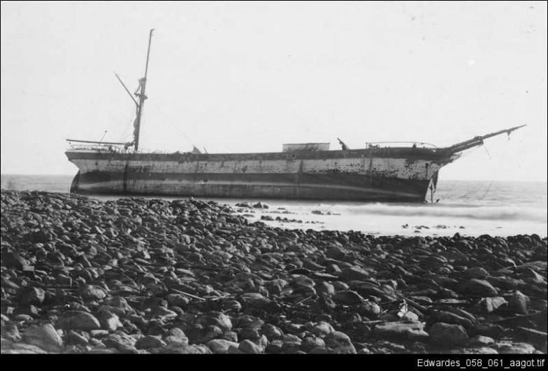 I’ve paddled past the wreck site a number of times in fair weather and seen the outline of the anchor poking from the rocks at low tide but this time we looked at the wreck from a different angle. We had paddled offshore 13km from Pt Victoria to the north western side of Wardang group of islands with a fresh headwind and short chop. This route is quite shallow and reefy in places and always makes for interesting wave action when the wind is up. We camped the night waiting for a better weather window, but it seemed to disappear, being replaced with a stiff headwind and SW swell.
 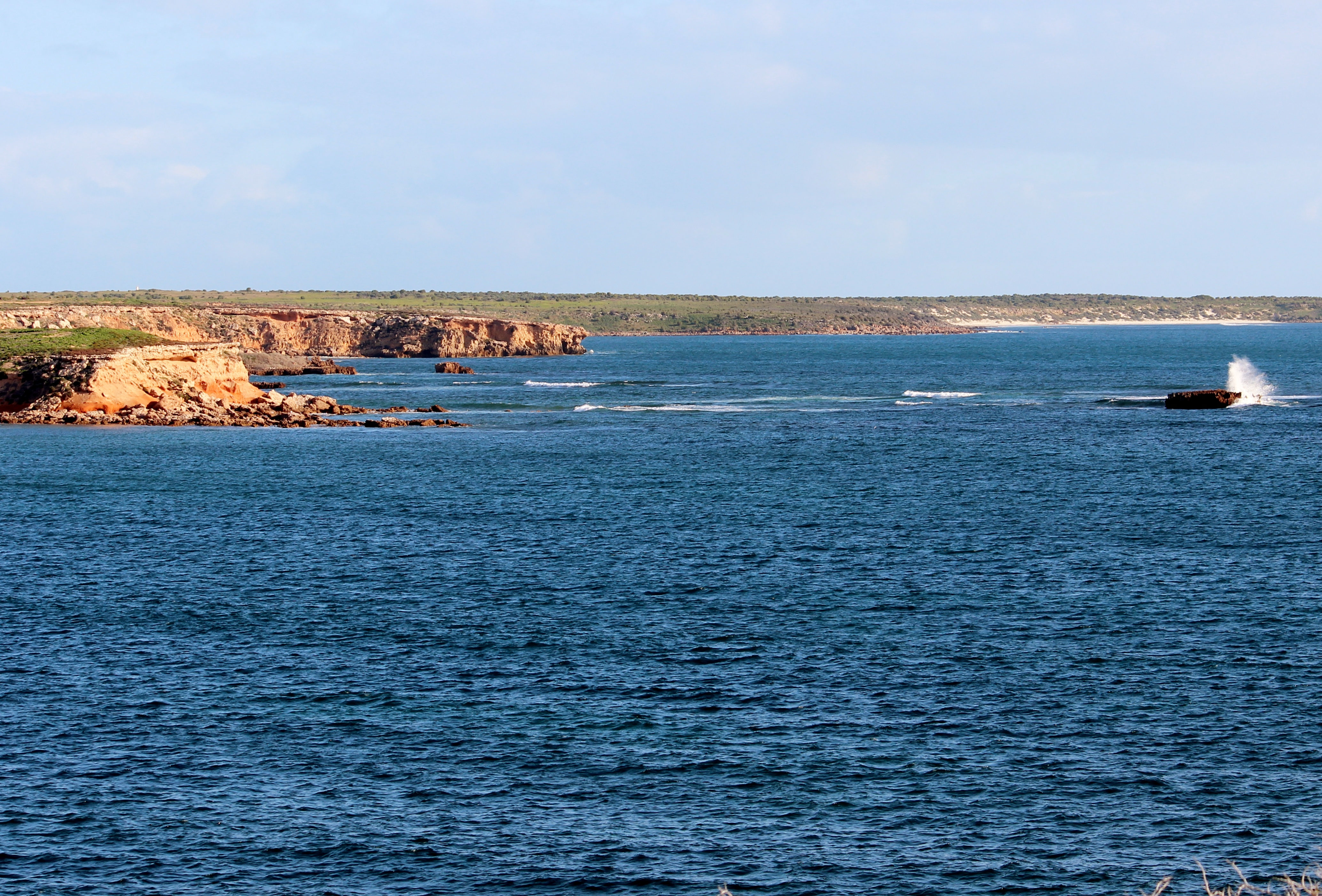 Our journey down the western side of the island started well enough with a 10-12kn headwind and sloppy sea but within 2 kilometres of the wreck site it had shifted up a gear to 12-17kn with larger swells and a breaking sea on top.
  Not ideal conditions for kayak photography so we decided to land at one of the small protected beaches and check out the wreck site from the land. Of course there was a savage shore break which proved to be a little fun, especially for Robyn and Ian in the Seaward Passat double kayak. Rodney fared better with a text book landing on the sand.
 Few people visit this uninhabited island group and generally you will only encounter the occasional fishing boat.
  We however found numerous tracks of the local inhabitants.
  A walk over the rocky headland bought us to the wreck site and we could see that in a gale this coast would have been treacherous. Not surprisingly there are many ship wrecks on this coast as it is a low island group that can easily meld in with the mainland when viewed from sea. The island also didn’t have any navigation light until 1909 and even then various maps showed it in different places just to cause a little more confusion. This few kilometers of coastline has the remains of the ships, Aagot, Australian, Investigator, Notre Dame D ‘Arvor, Monarch and McIntyre.
The Aagot anchors lay below these waves.
 One strange thing about beach combing the area was an abundance of right foot thongs washed up. Only right foot…never the left….what a strange phenomenon.

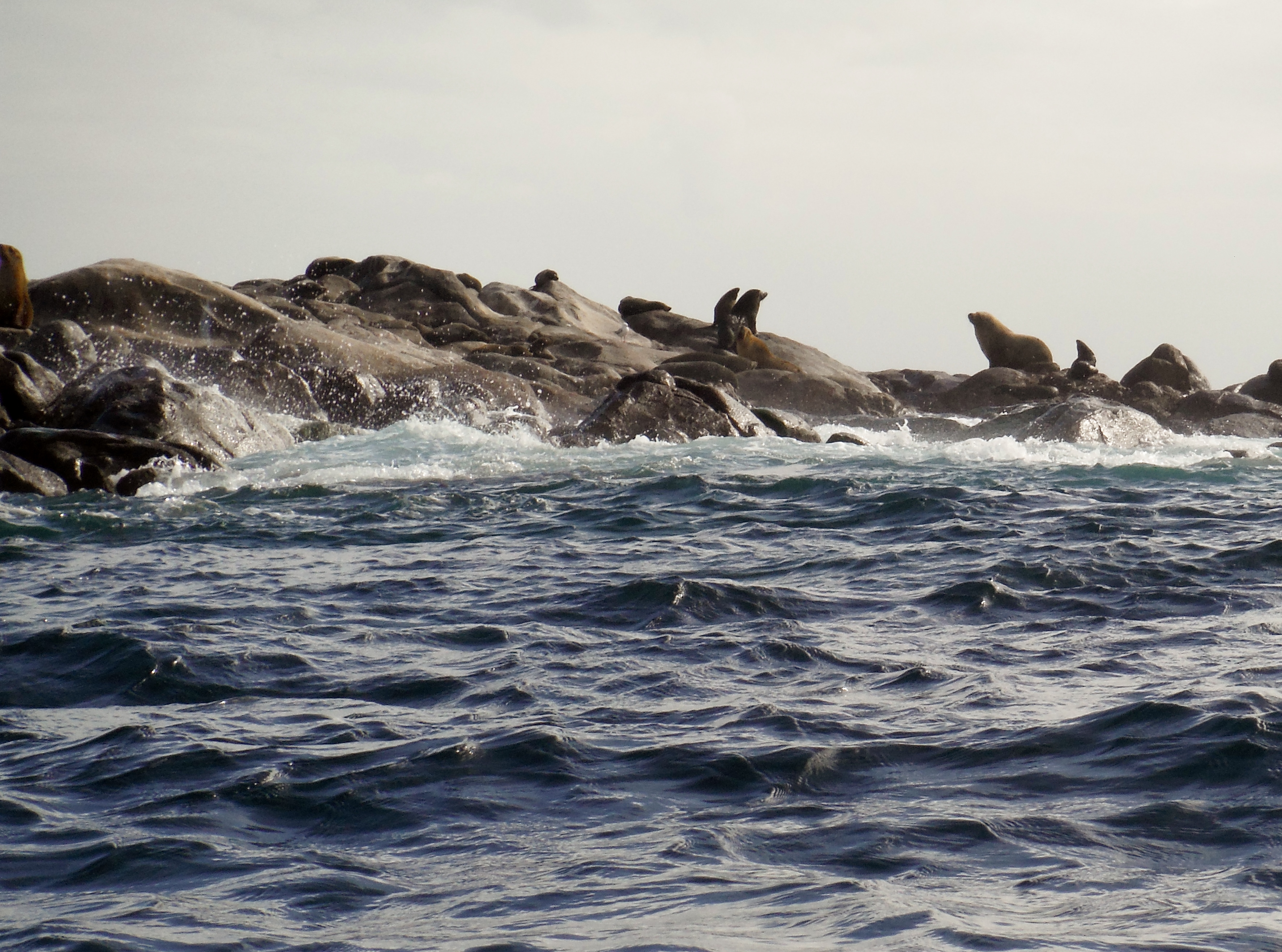
Our time exploring was cut short as the wind threatened to further increase off shore. We made a perfect departure from the protected beach timing our breakout perfectly to avoid the shore break. The run back to camp was fast and furious sliding down a following sea and occasional breaking waves to arrive at the protection of the north tip of the islands. The north tip is home to a colony of Sea Lions and a large number of Pied Cormorants who inhabit the rocky outcrops so it was relaxing to hide in the lee and enjoy the antics of the locals.

 We had left our campsite guarded by a Peregrine Falcon who had taken up residence in an old radio tower.
  We landed back at camp having had an interesting paddle and looking forward to the evening meal with celebratory red wine. Rodney had chosen an excellent Grant Burge Balthasar 2012 Shiraz and Grant Burge 2010 Corryton Cabernet Sauvignon and Robyn and I provided a lovely Eccolo Wines Sangiovese. The wines and pre-dinner snacks were enjoyed with great gusto watching the sun set and the full moon rise.
  Next day we headed along the eastern coast of Wardang Island with thoughts of the Narungga people who had been travelling to Wardang Island long before the arrival of Europeans. The island could be accessed at low tide by wading out to Green Island and then swimming for kilometres across a deep channel. People would sit on the shore and sing songs and wave branches to distract the sharks from swimmers. I started singing quite loudly when a fin appeared of the stern of the kayak but luckily it was only a dolphin.
Mining of Lime Sand had begun on the island in 1910 and lasted for several years until easier to access deposits were located. There are still remnants of the small community that was involved in mining and agriculture. The island was once stocked with sheep and large water tanks were constructed, living quarters, shearing sheds and other facilities were built. Several families stayed on the island to manage the stock and the children attended a small school. A barge was used to ferry materials and stock to and from the island and later a ketch, ‘the Narungga’, would move between the island and Dolly’s wharf.  The ketch “Narrunga”, shown here tied up at Dollys Wharf.
 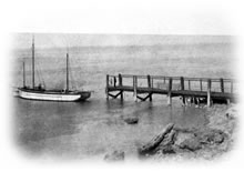 Little remains of Dollys Wharf these days.
 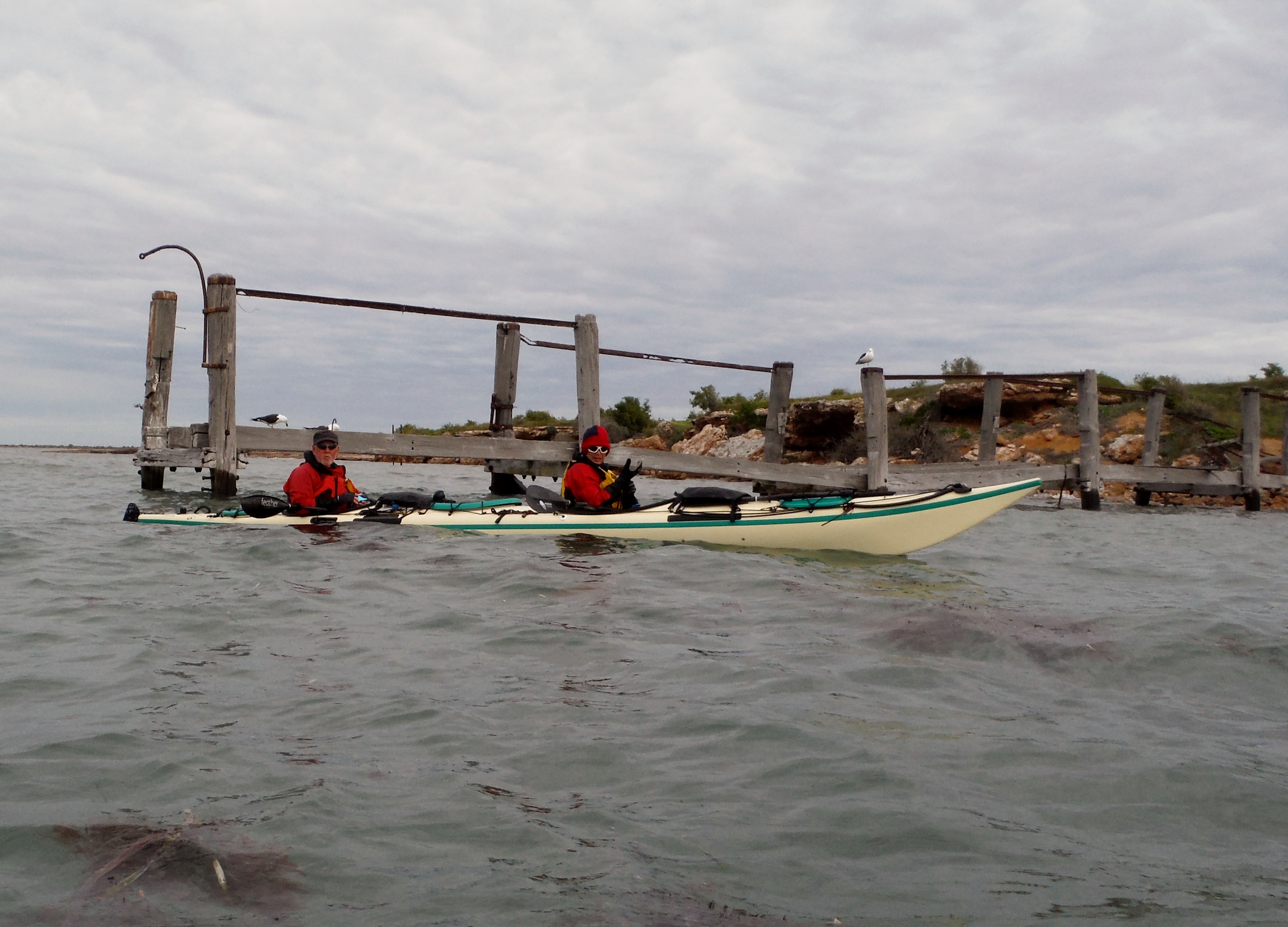 The last part of the paddle brought a few light rain showers indispersed with periods of bright sunshine and light winds. A fitting end to another great paddle.
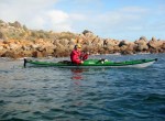
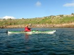
 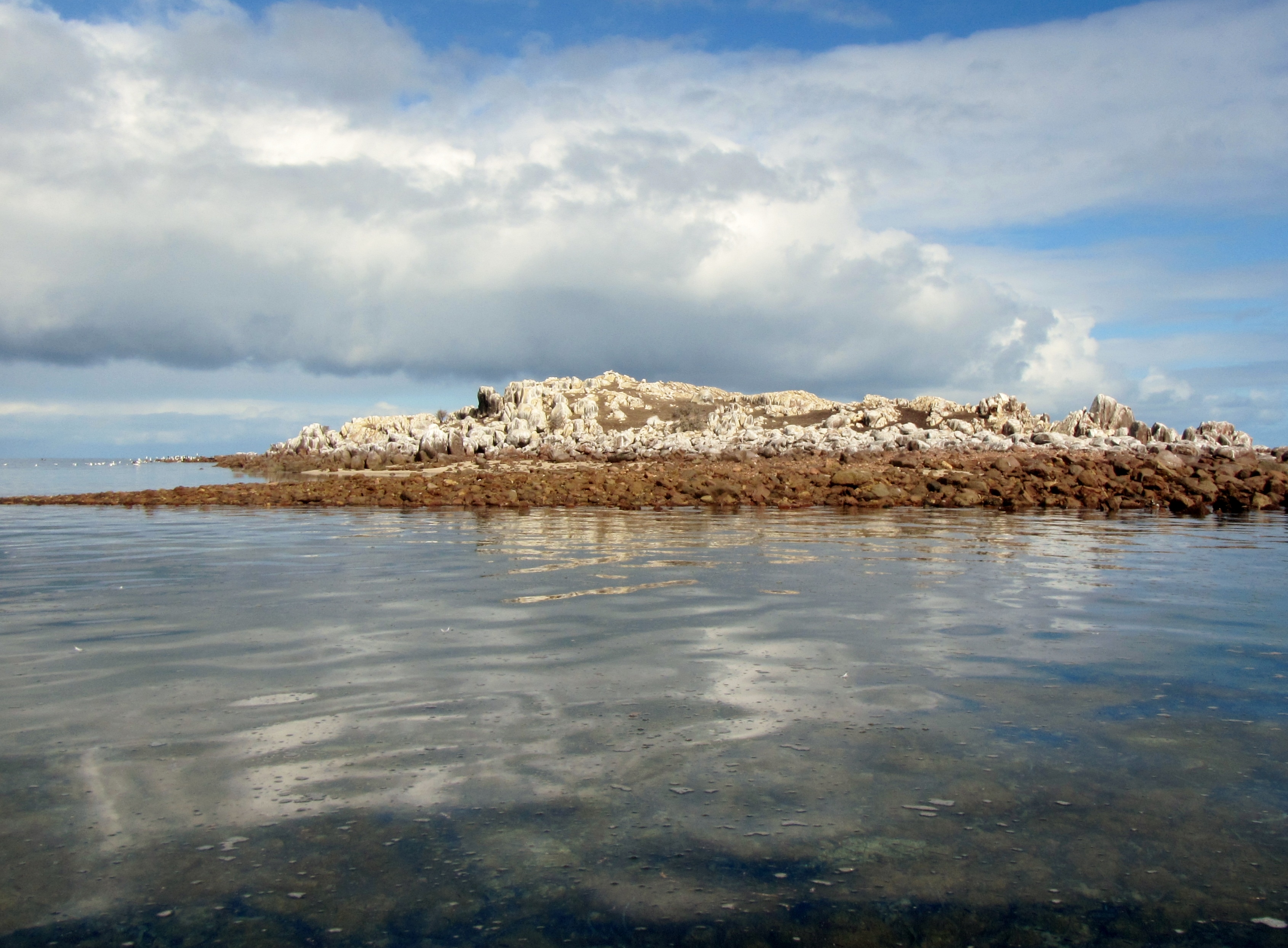 …and a few extra photos from our trip.


Thanks to Rodney for the photos, delicious snacks interesting wine and of course to Robyn for all other catering.
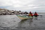
Ian, Robyn and Rodney. Paddling South …..where not everything goes to plan


