Anzac Day is a national day of remembrance in Australia and New Zealand that broadly commemorates all Australians and New Zealanders “who served and died in all wars, conflicts, and peacekeeping …
Having paddled with a number of veterans and those currently serving in recent years, I have a great respect for the sacrifices that have been made in the past.
However, as this next piece shows, it was not always a day that I remembered.
“I know that voice”
It was 4 am on a Sunday morning and I could hardly hear the alarm for the beating of the rain on our little cottages’ roof. The wind howled through the trees outside as I clobbered the alarm and fell back into a half sleep.
The last couple of weeks had been poor weather with weak cold fronts constantly passing through South Australia bringing drizzly cool days, and today was no exception with showers expected for most of the day.
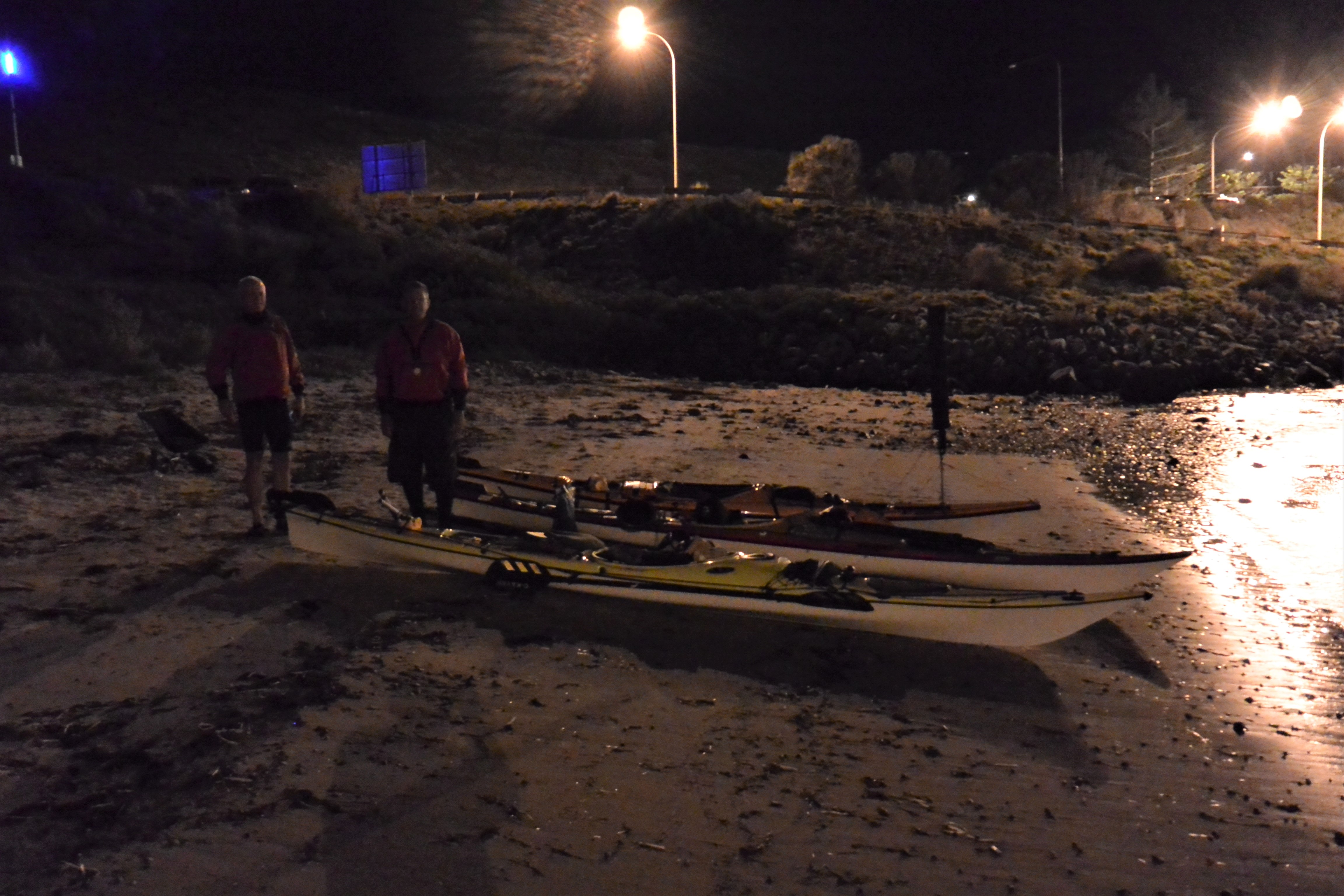
I realised that Gavin and Michael would be here soon and contemplated just a few more minutes in bed. I thought they know that I am always late, but then Gavin is always early so I slowly dragged myself from the warm bed.
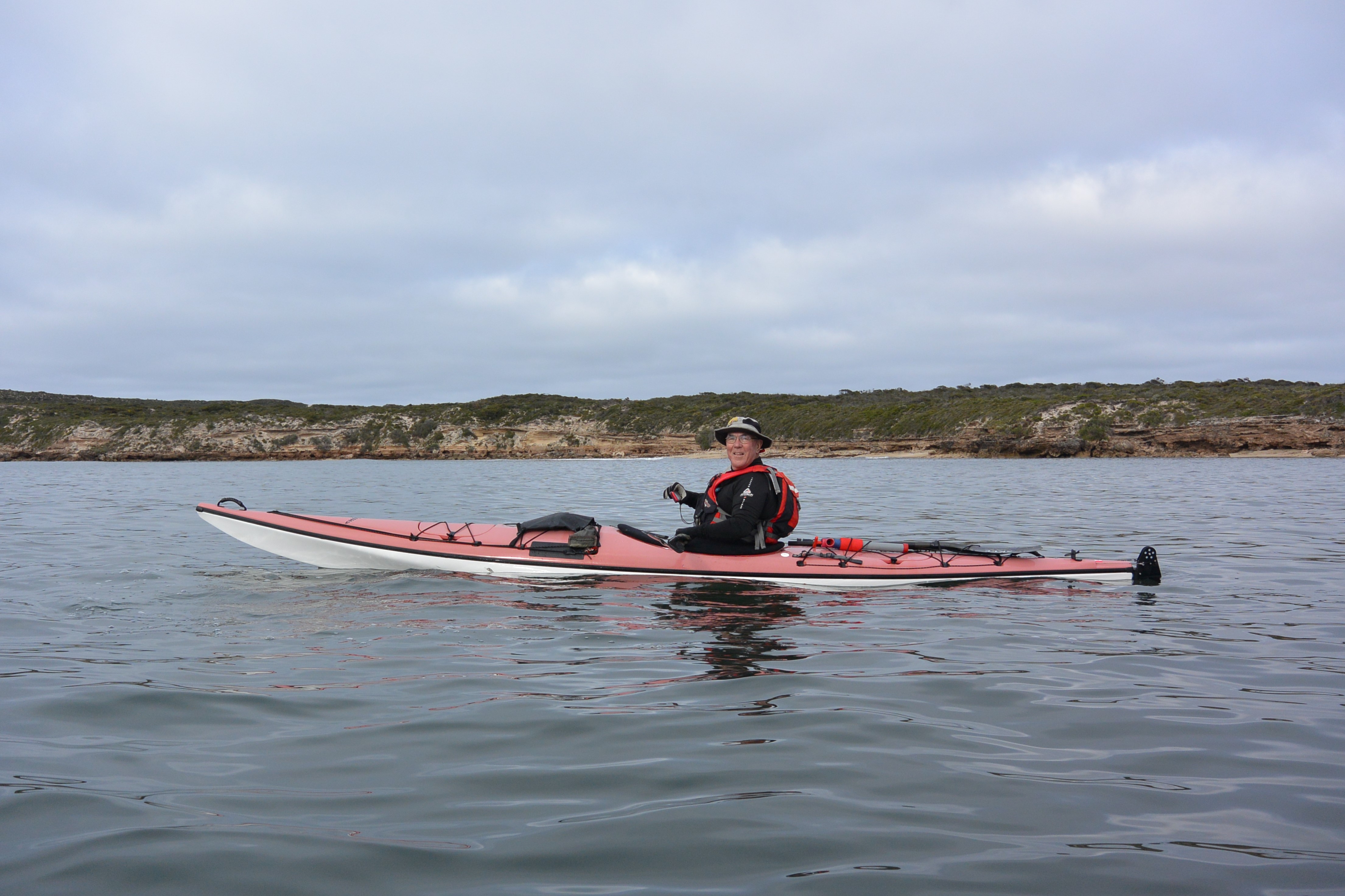
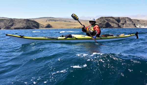
The mountain of gear stacked neatly in the hallway needed only the last minute additions of fully charged camera batteries and such like, which I dutifully attended to, crossing off each item off my list. All ready to go, just as I heard Gavin’s car pull up out the front. Gavin bowled in, looking just like someone who is always awake before five, which of course he is, followed by Michael who hasn’t seen this time of darkness since our last trip.
The gear was loaded and I found that Michael has claimed the backseat for the trip and I had the duty of riding in the front with Gavin, ensuring that he was awake during the drive. How anyone can stay awake listening to ABC Radio at that time of the morning is beyond me, but duty called.
Sombre music, then marching bands: hell what was this stuff he was listening to? We passed along the foggy highway out of Adelaide to the tunes of the 127 th District marching band or some such mob, thinking that I wouldn’t be able to take eight hours of this.
Passing through Tailem Bend I realised what was happening. It was Anzac Day.
There was a group of 200 or so people gathered at the park, with many spilling onto the roadway, forcing us to crawl past. I remembered back to my only time of being at an Anzac Day dawn service, when I must have been about 10 years old. I vividly remember the service being held in a local park in Parkside where I grew up, but can’t remember who I went with, or what happened afterwards. Just the short service and the music.
Sunday morning on ABC radio is Macca in the morning. I listened to the introductions and then vagued out while staring at the unchanging landscape of the mallee country. Macca had people ringing in to recount their views and memories of Anzac day.
As I rolled along in the front seat, listening to Michael’s snoring in the back I heard a woman’s voice saying that she had just come from a dawn service held with her husband and only one other person. It was a Tasmanian accent, quite distinctive but pleasant to listen to. Sounded in her late 40s or thereabouts, well spoken and confident. I didn’t hear where she was from, assumed Tasmania, but she was talking about their dawn service held on the top of a hill at the site where four RAAF flyers had died in a crash near the end of the war. They had been on a training run or similar and had engine problems resulting in the crash. The bodies had been buried elsewhere but there was still the scattered remains of plane where a small memorial was erected. She spoke of the isolated area that they from, describing the wallabies on the hill and sea views from her kitchen window. Sounded like a great place to me…
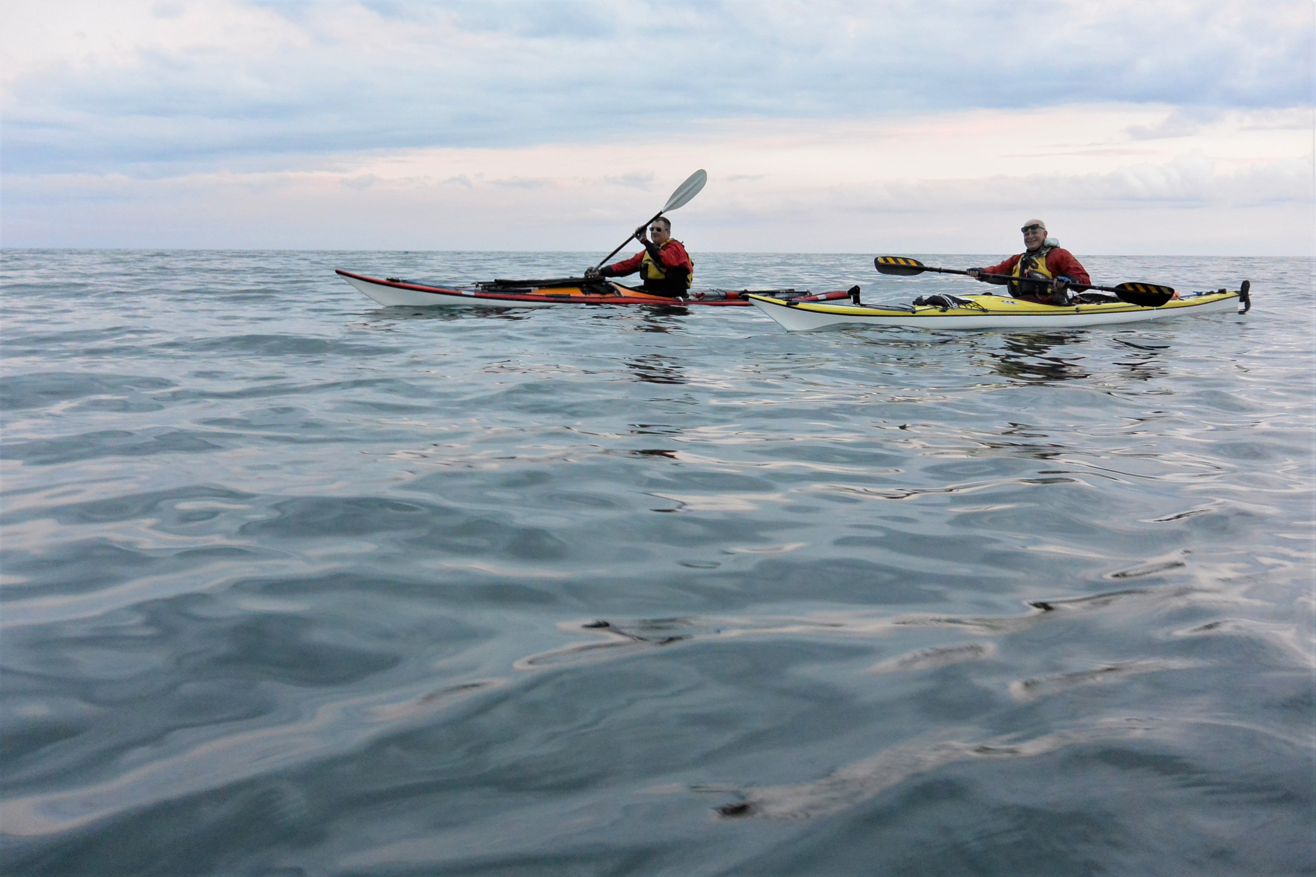
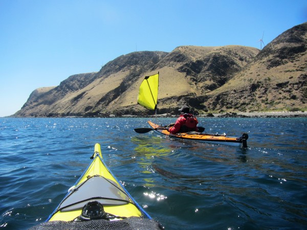
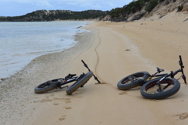
Then off we headed. Victoria to Tasmania by sea kayak.
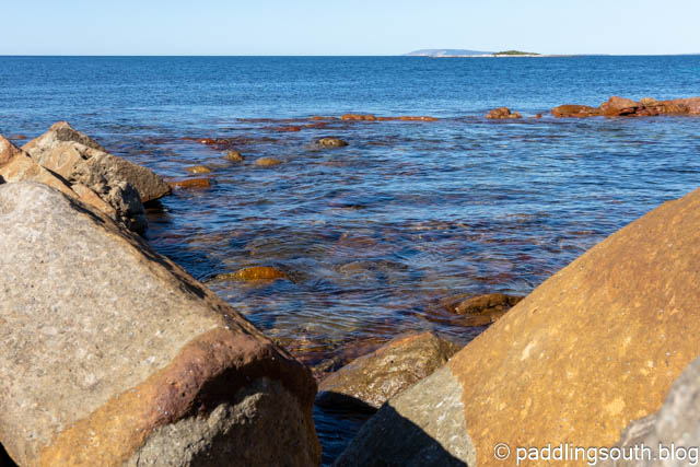
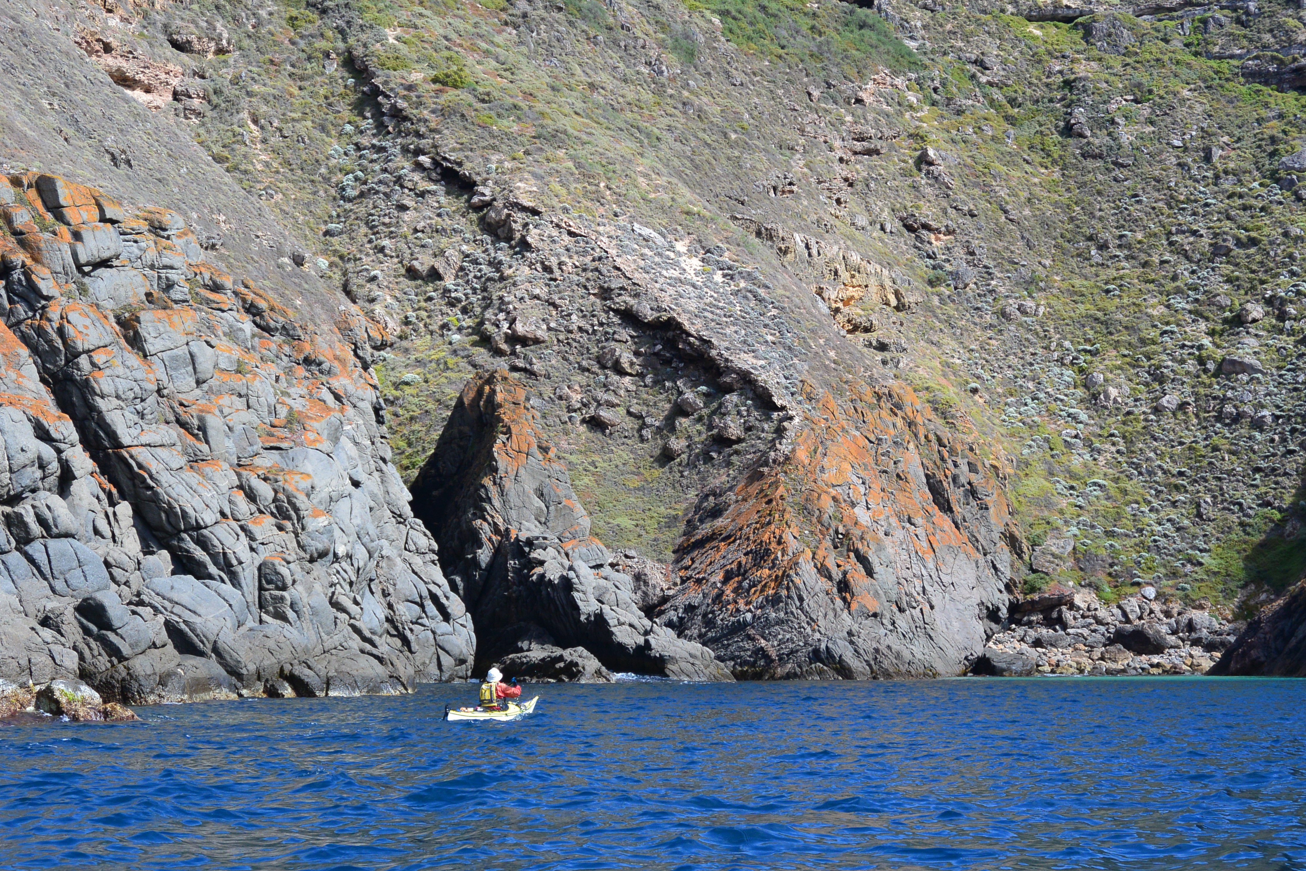
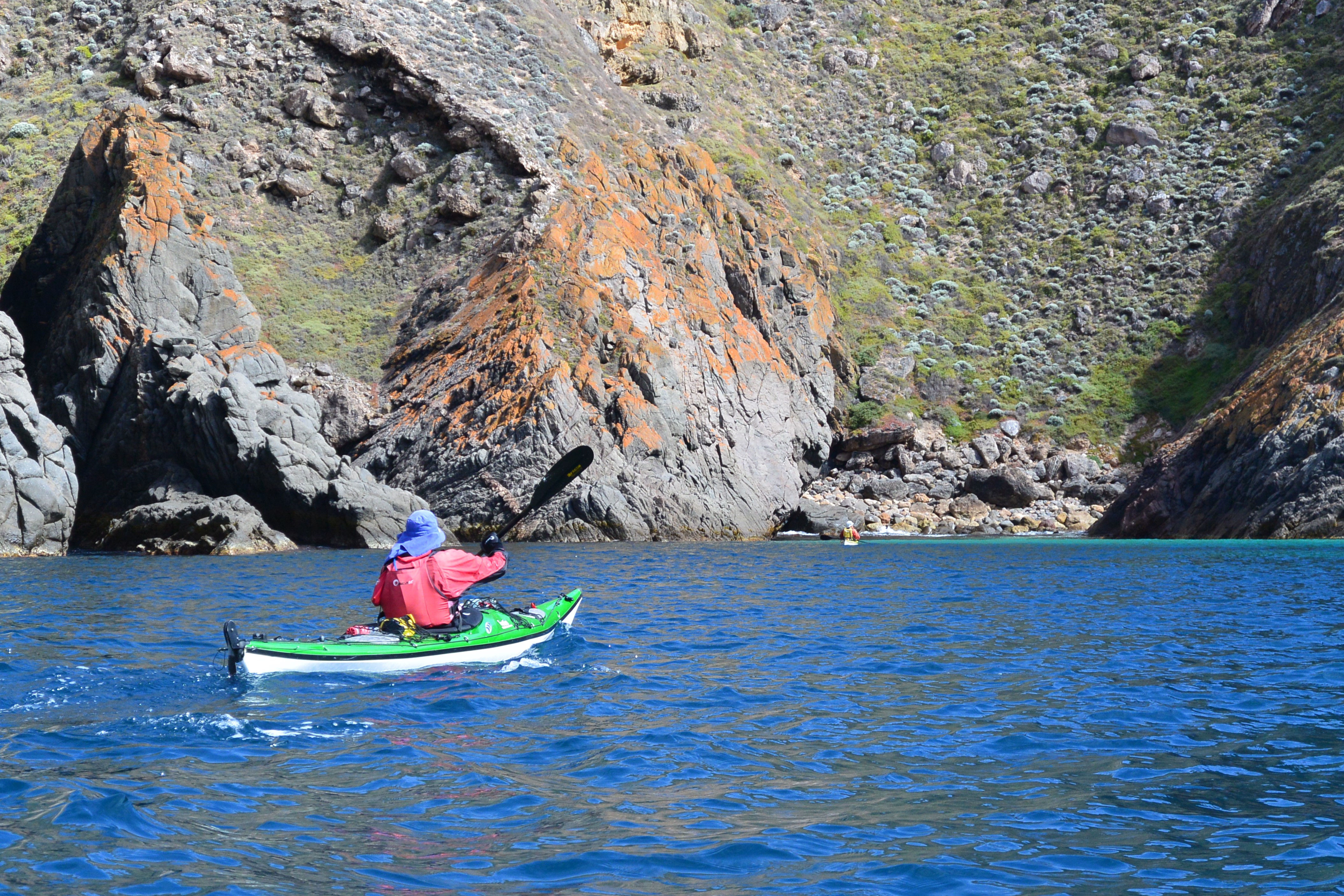
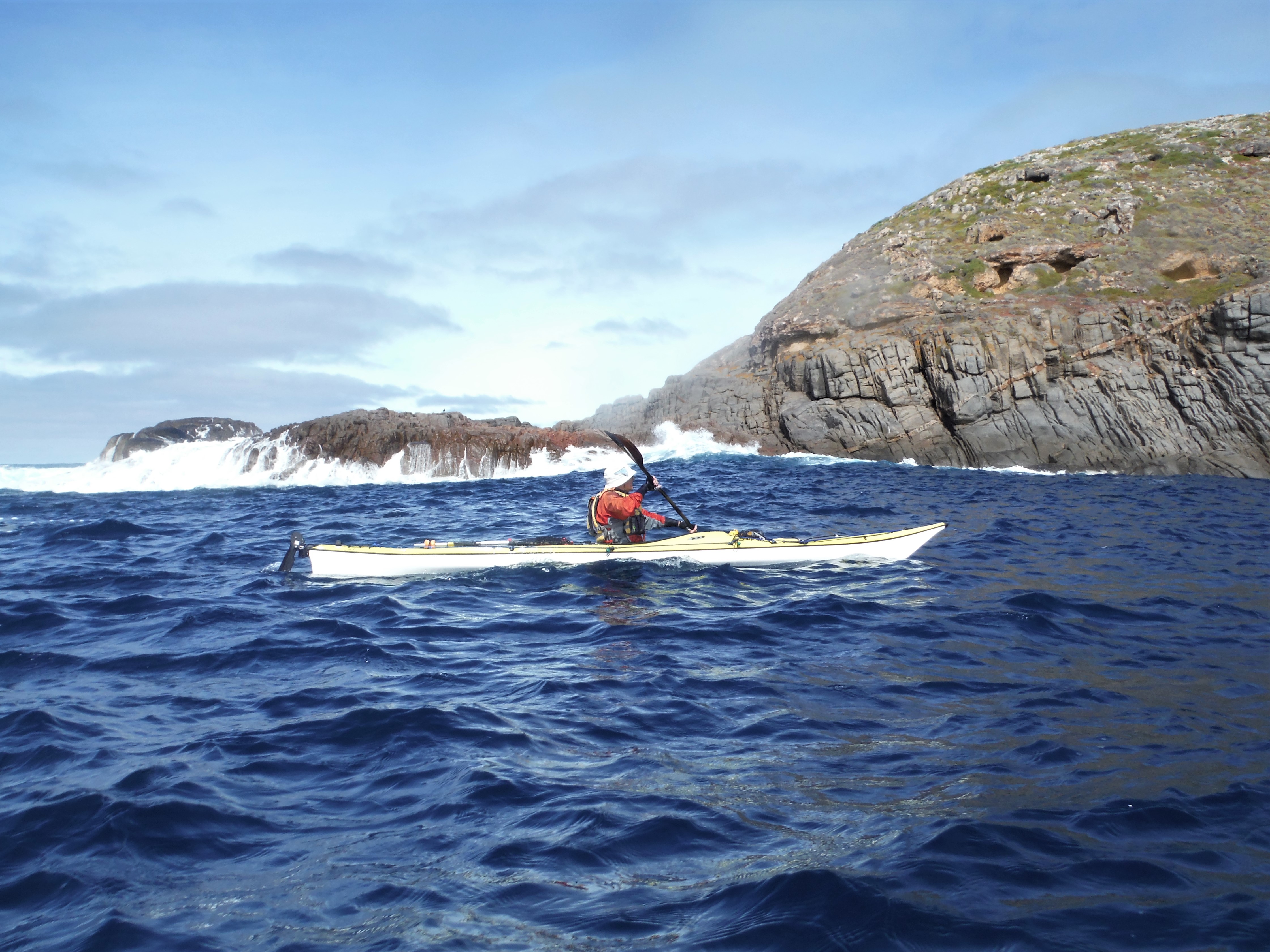
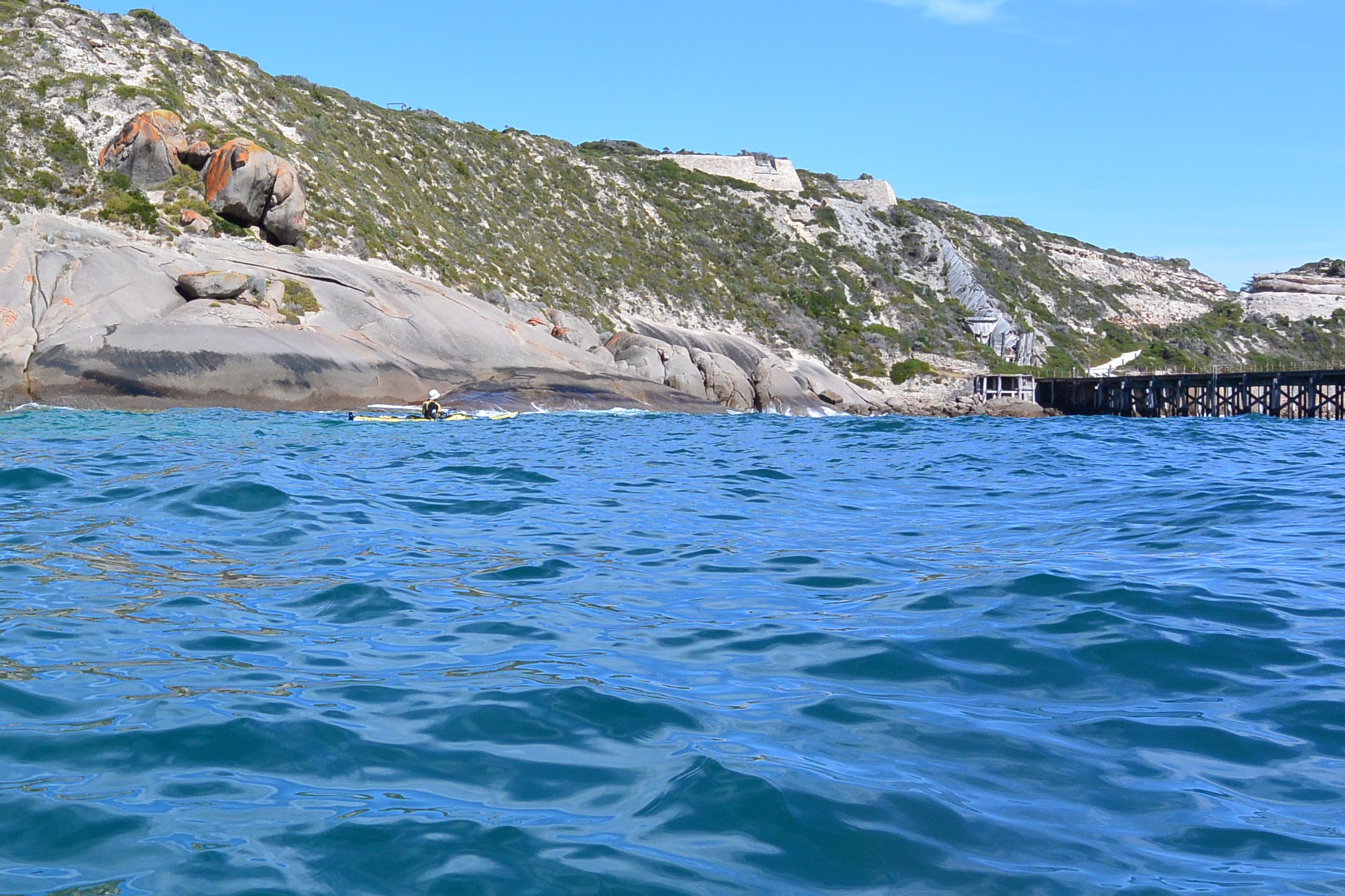
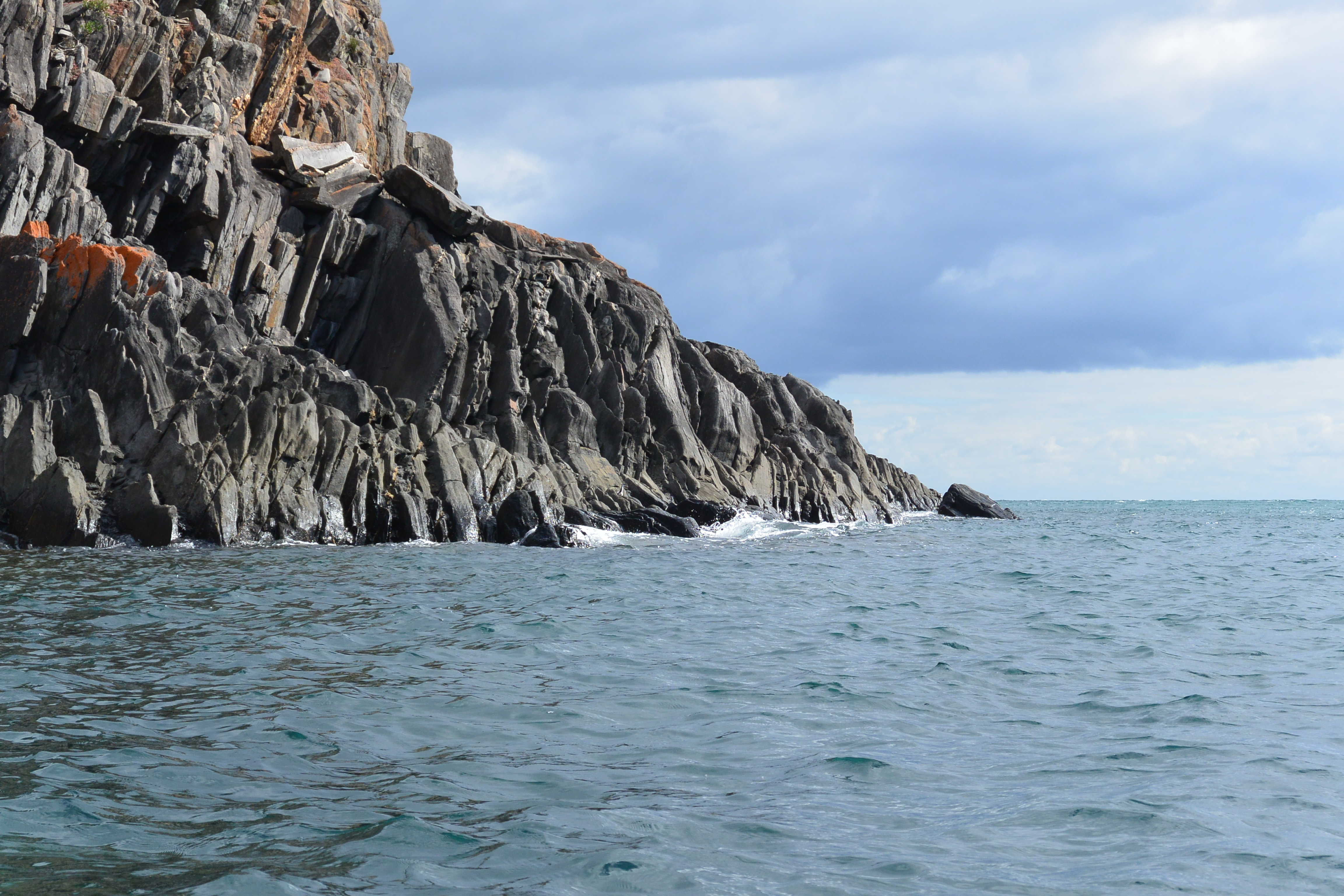
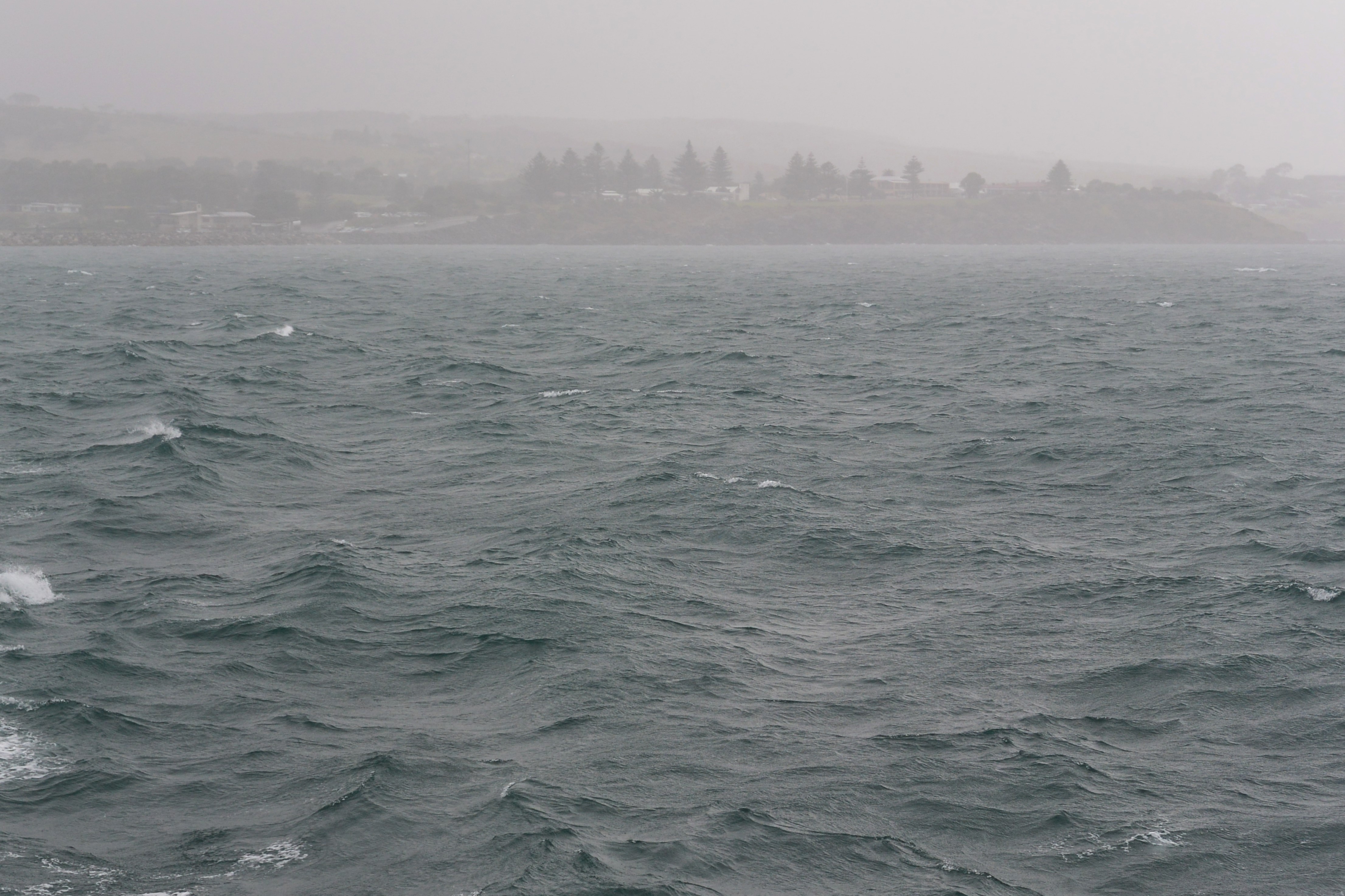
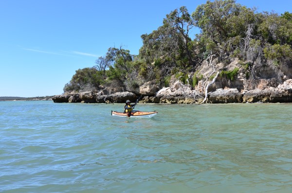
Gavin, Michael and I stood at the base of the cliff, on the tiny windswept beach, looking up at the zig zag track that leads to the lighthouse keeper’s cottage. We had had a long hard day, crossing from Hogan Island to Deal Island, with lightning greeting us just before our dawn departure. The wind was OK before dawn but talking by phone to the duty forecaster in Tasmania I knew that we had only a few hours to get off the island or be there for some time.
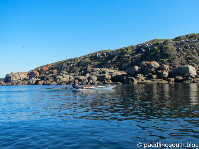
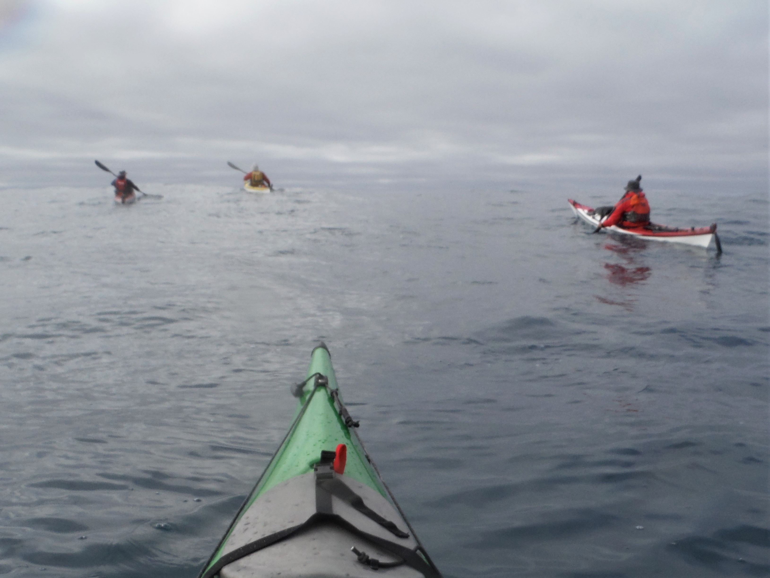
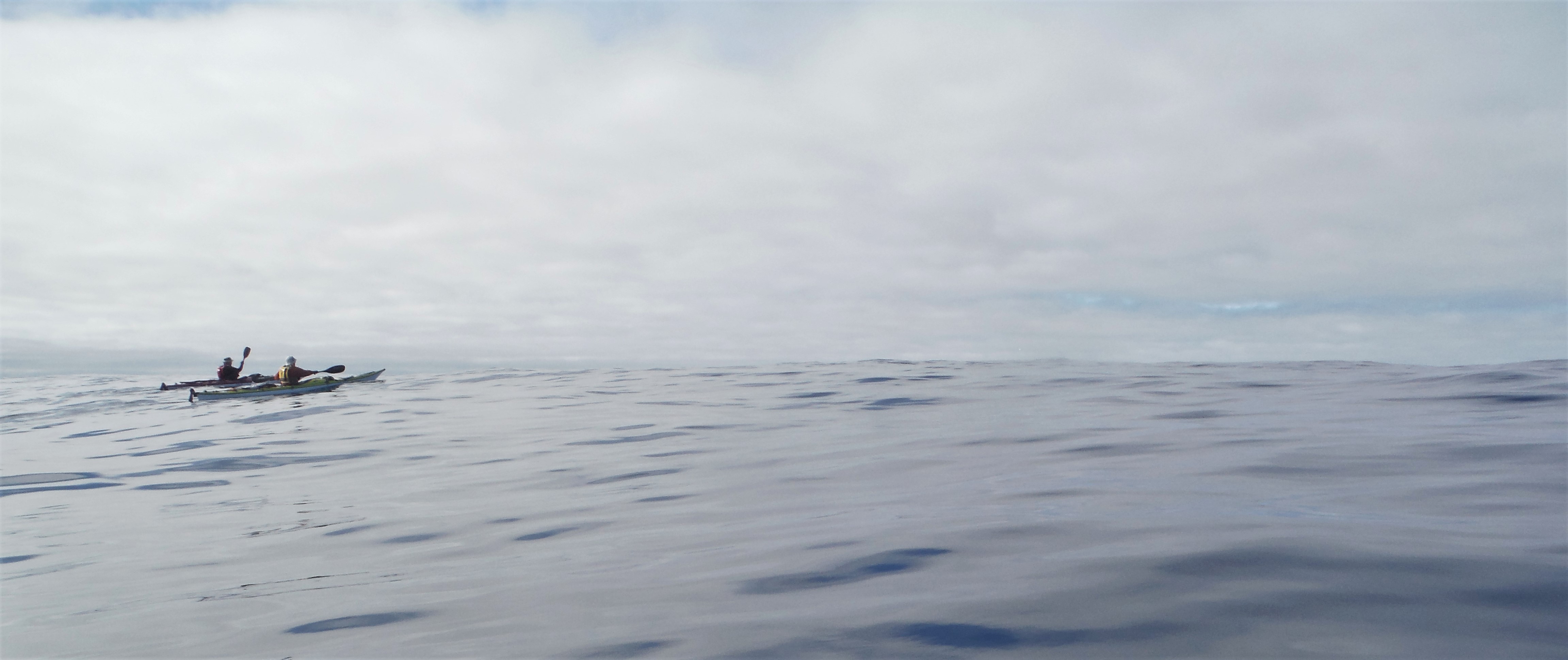
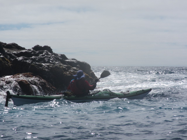
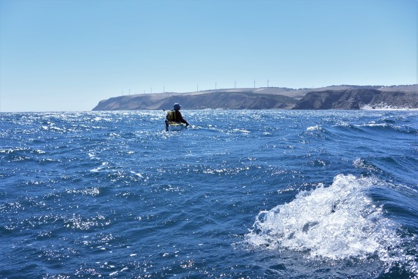
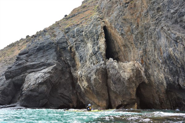
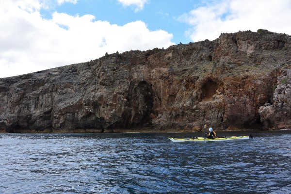
The winds had risen later in the morning as we sailed and paddled our way to Deal Island in the Kent Group. Rising wind and rising seas had made for a rough ride, with worse on the way. We paddled strongly knowing that the sanctuary was only a couple of hours away, however the front grew closer with steadily increasing force. Rising seas and wind from the rear quarter made for interesting times. We eventually made shelter in the lee of Erith Island with a 40kn headwind screaming towards us as the main front hit.
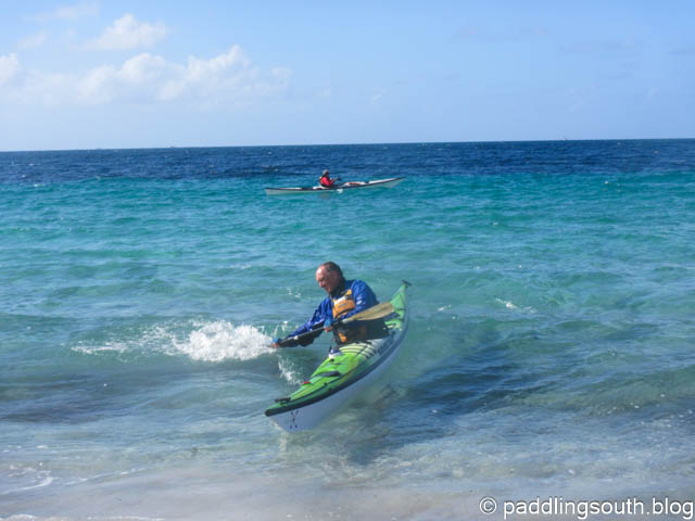
The paddle along the Murray Passage was demanding with the wind coming head on between the Islands, as Michael powered past us determined to land first. Maybe he was just glad to be near a safe haven after having suffered two capsizes whilst sailing that morning, or maybe the lure of a cup of tea and Mars bars had scrambled his brain. He is a legend in the world of chocolate bars, carrying large packets of Mars Bars and the like when we go paddling. Still, you can’t complain when he insists on sharing them out after paddling, but I still think that anyone who calls them carrots is still a little unusual.
We set off fully equipped for the climb up the Deal Island path with extra supplies of Mars Bars and Snickers stuffed in our pockets. Half way up the path we paused briefly to admire the view and call in to our families. The surprise of the caretaker was evident when we strolled up to the cottage, certainly not expecting paddlers in this weather, but as always we were invited in for tea and scones.
It was unsafe to proceed to the campsite and hut on Erith Island so we were able to bed down in the spare cottage on Deal. We had the opportunity of a hot shower and a real bed and that was not to be knocked back. A quick shower and change of clothes and up to the caretaker’s for high tea.
We entered the cosy warm cottage and met our hosts Dallas and Shirley. They are caretakers on the island for three months at a time, with this being their second time here.
Bloody hell, I know that voice!, the soft but distinct accent coming from the kitchen sounded familiar, but I didn’t recognise the face. Shirley plied us with scones with jam and cream and tea, while I thought about where I knew her from.
When talking to Dallas about the awful weather heading our way it came to me. Have you been on the radio lately? “Yes, twice on the ABC talking about Deal Island”. Did you have an Anzac dawn service here? “Yes just three of us, up near where the plane crash site”. It was her, the voice on the radio that cold rainy Anzac morning. Strange things seem to happen when you go paddling.
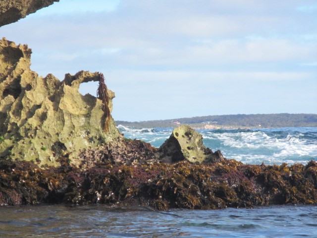
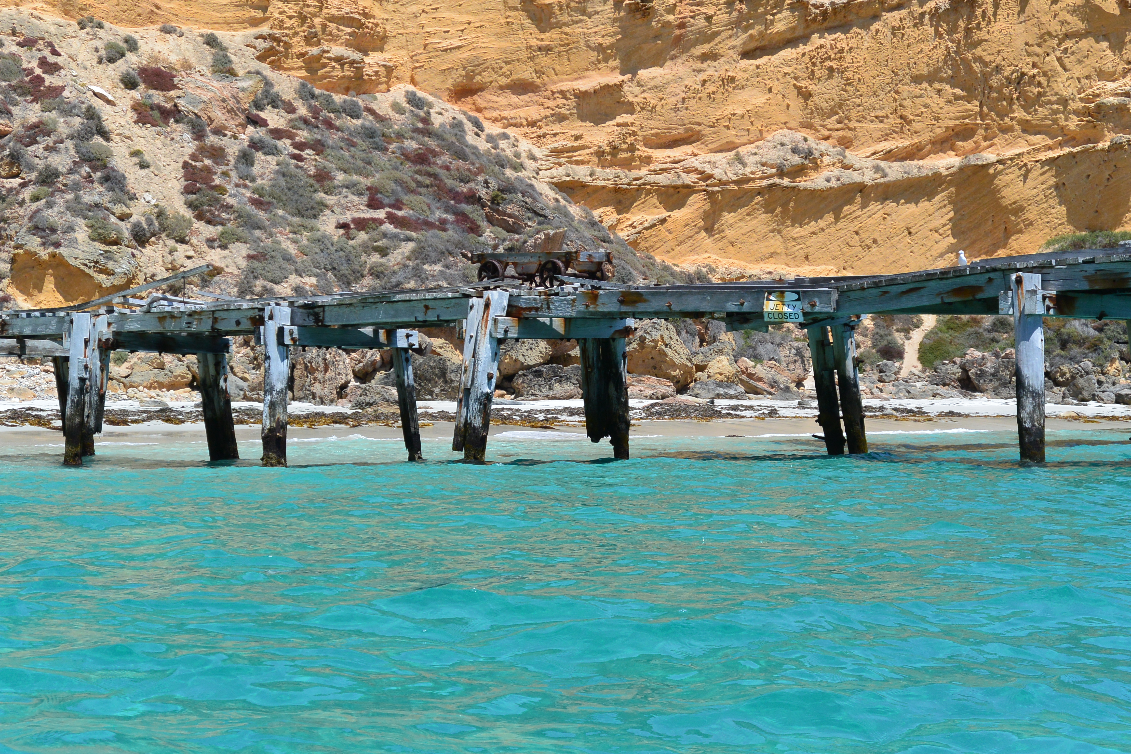
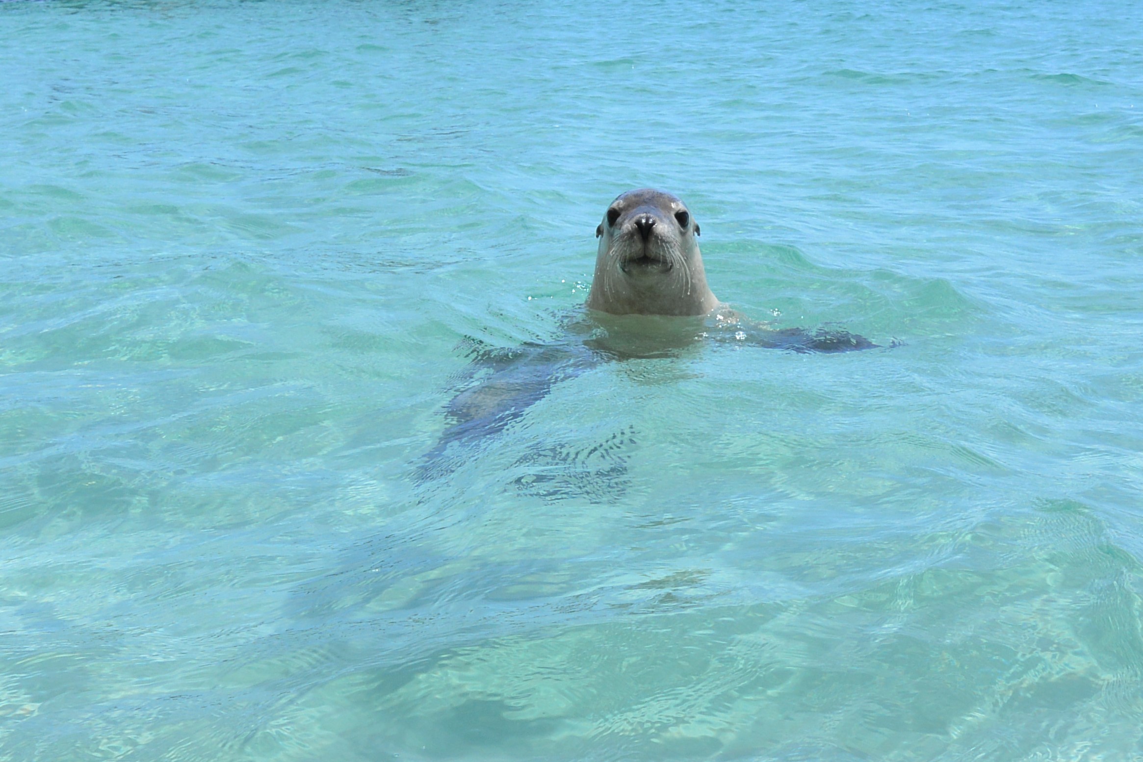
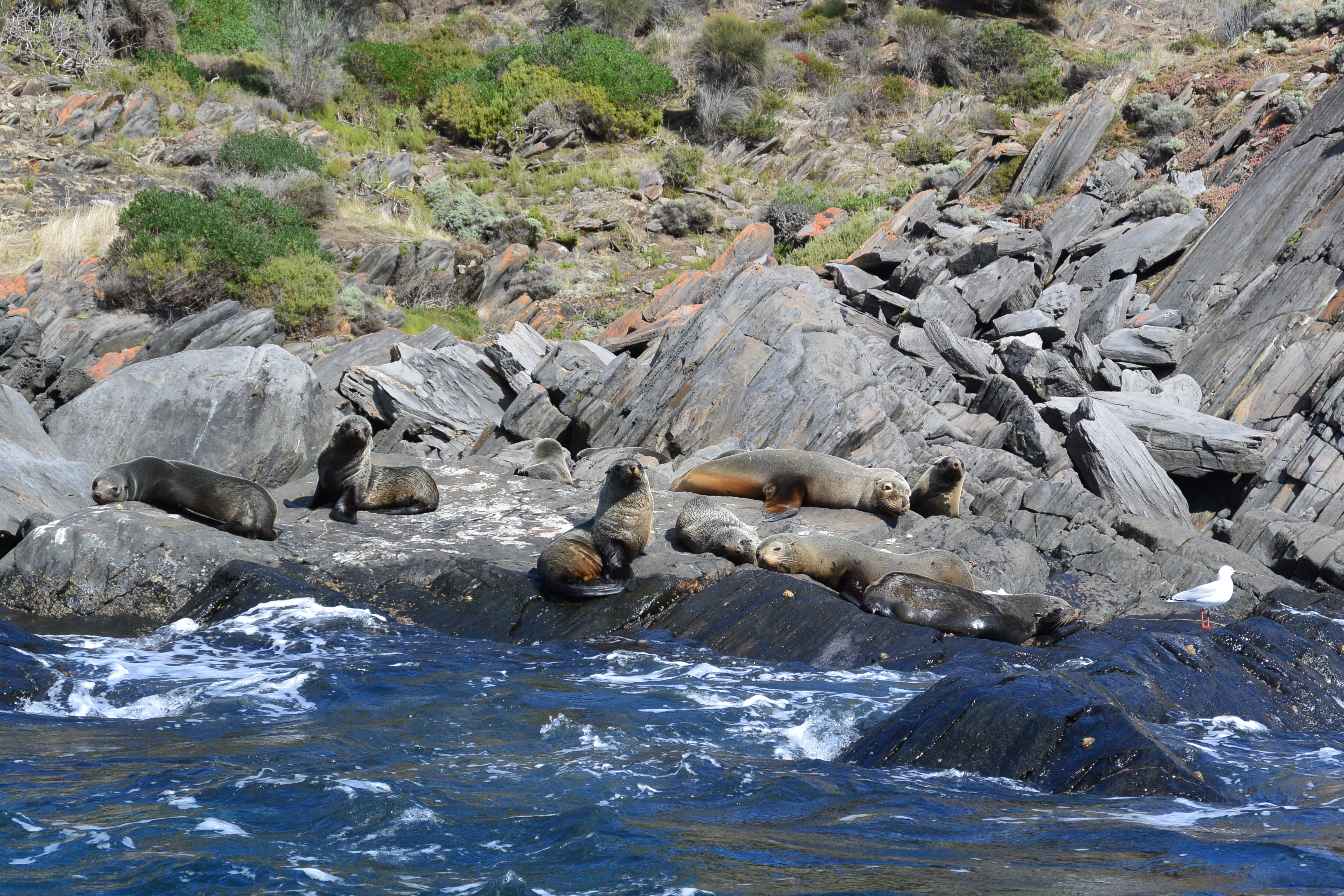
We were marooned on Deal Island for eight days waiting for the weather to moderate. The winds stayed at around 60 kn for most of that time with huge seas battering the island group. We did wallaby musters, helped other blow-ins and had many other adventures in those eight days and many more on that 19 day crossing of Bass Strait.
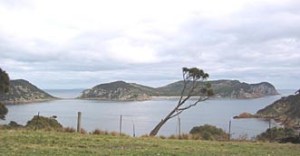
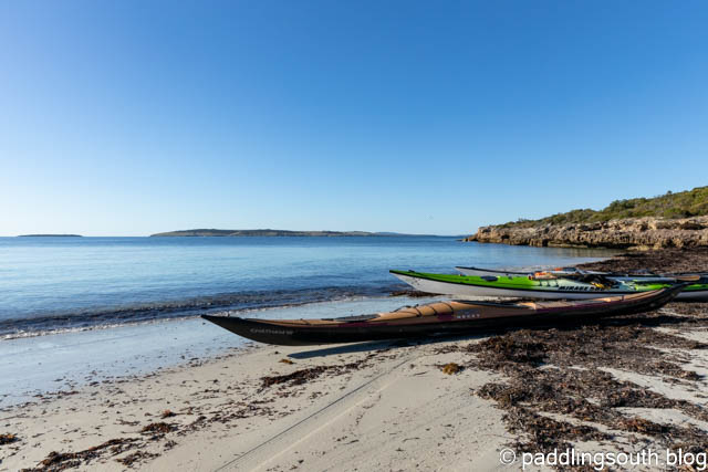
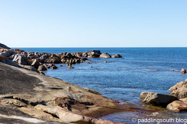
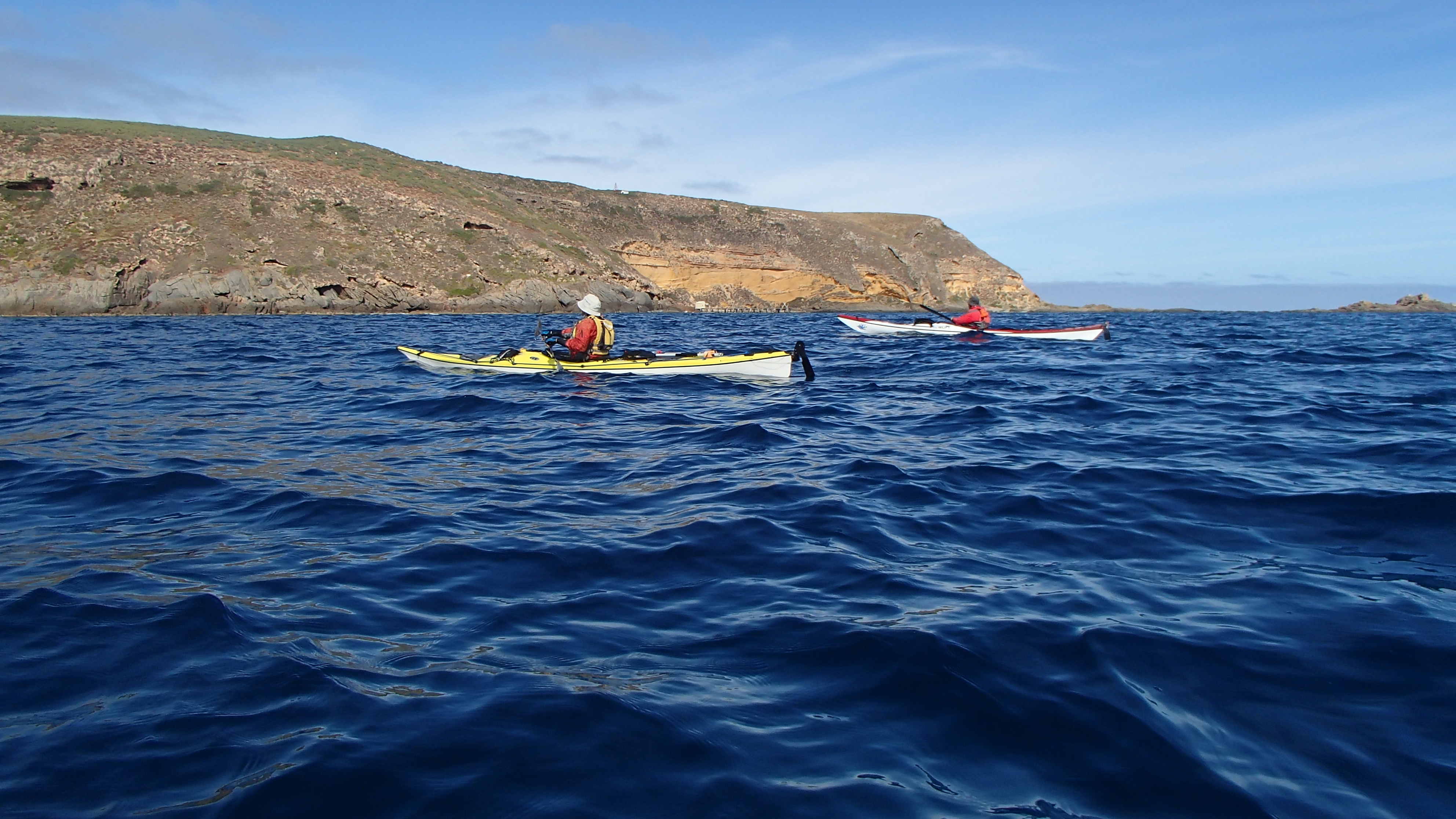
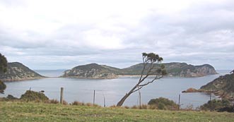
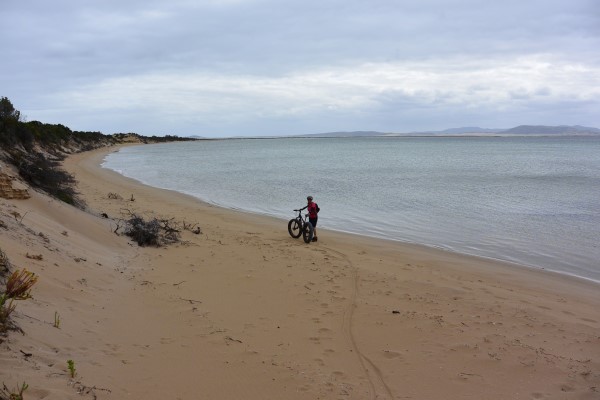
Deal Island looking towards Erith and Dover Islands
Now every Anzac Day not only do I remember those who fought in our wars but I think of that lonely crash site on that lonely little island.
Ian Pope