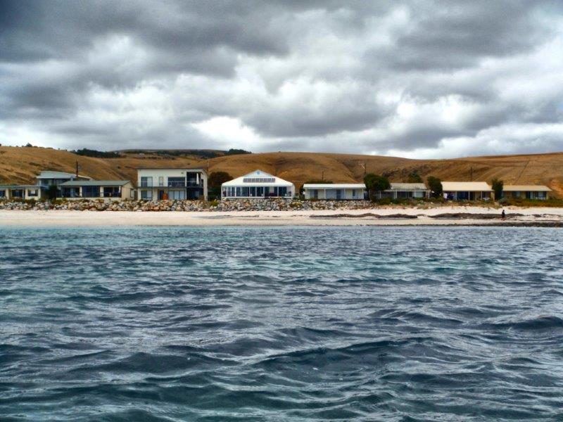
Sea kayak Day Paddle – Cape Jervis to Blowhole Beach. Actually there isn’t really a blowhole there, not like the type we normally think of where towering waves crash onto a rocky coastline sending plumes of spray skywards. This is Blowhole Creek in the Deep Creek National Park and one of the picturesque beaches along this very rugged coastline. I have been visiting this beach for the last 40 years and the only thing that has changes is that you can now access it via a 4WD track from within the National Park. In the old days it was a rocky walk down a rough track or straight down the fence line on Cobblers Hill.
This area has a tidal stream of up to 3 knots as water empties and refills the Gulf St Vincent so all paddling needs to be planned with the tides. My many years experience paddling this coast have also taught me to be very cautious of forecasts and take more notice of the conditions at the time as well my own observations.
The weather forecast a couple of days out had been for smooth seas and light winds so we planned a trip along the coast from Cape Jervis to Blowhole Creek and return. We gathered 5 local paddlers together with the idea of exploring the rocky coastline up close, if the weather forecast was correct.

The 5 “fine young men” ready for action
Arriving at Cape Jervis we found that the Backstairs Passage between the mainland and Kangaroo Island was just starting to have white caps on the horizon, stirred up by a Sou’Easterly breeze. Great….another day of headwinds and certainly not what we had hoped for but inshore it would be much calmer.
We got organised and waited in the shelter of the marina for the Kangaroo Island ferry to leave.
Waiting for the KI ferry to leave
Then we plodded off into the increasing gusts.
Michael and Steve
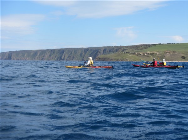
Of course there is a shipping lane in Backstairs Passage so you need to keep a wary eye on the horizon.
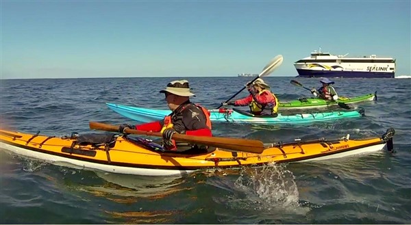
The Ferry and Container ship crossing paths

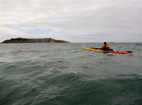
Sean and Michael in the protected waters
Heading out of the protection of Cape Jervis. Kangaroo Island in the distance.
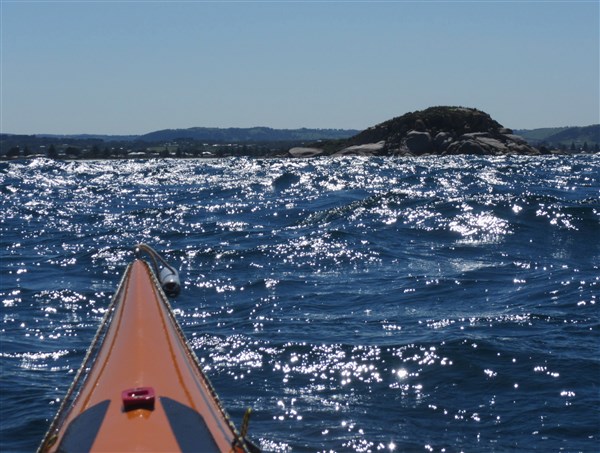
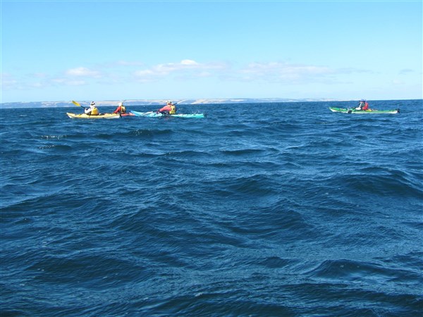
Looking at my GPS I thought “ Hey this was supposed to be an easy paddle riding the ebb tide, but we are only making 5km/hr in the strengthening wind. We decided to stay close inshore and use the headlands for protection from the breeze.

Ian showing the way.
We reached Lands End and passed close in at Whites Beach where the underwater power cable goes to Kangaroo Island.

Staying in close
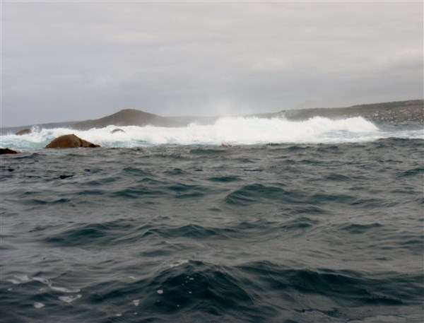
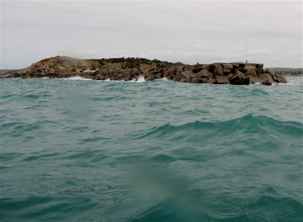
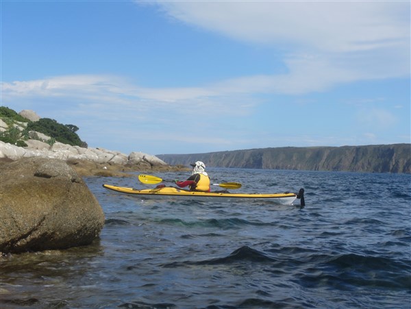
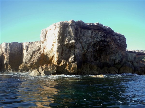
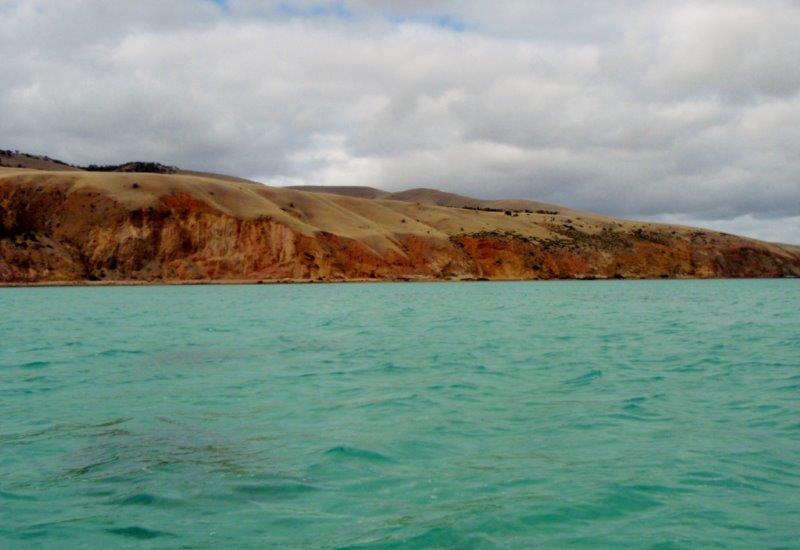
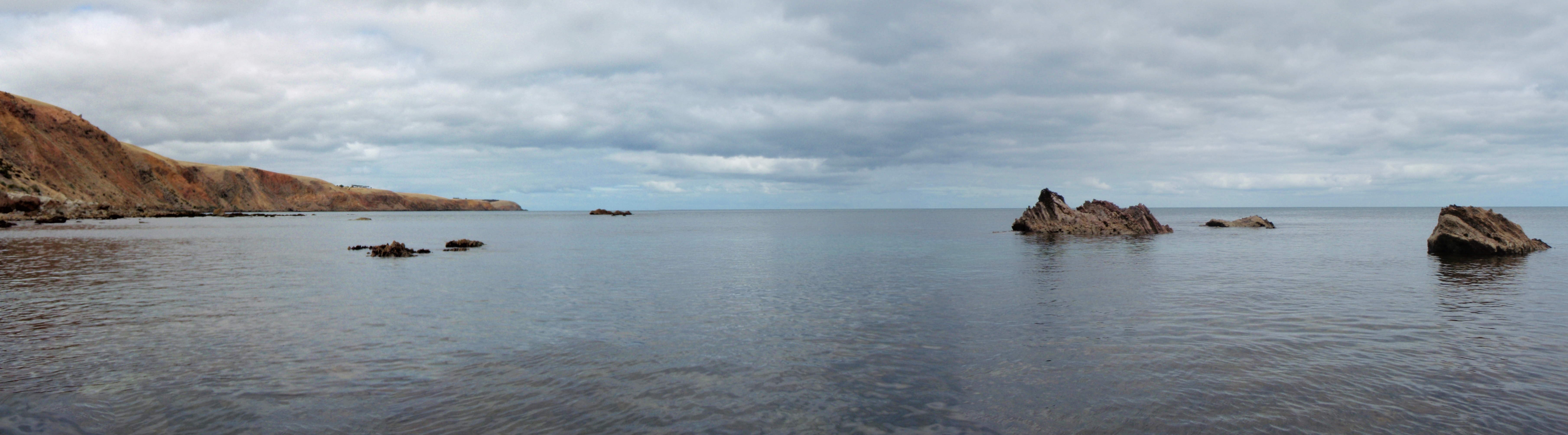
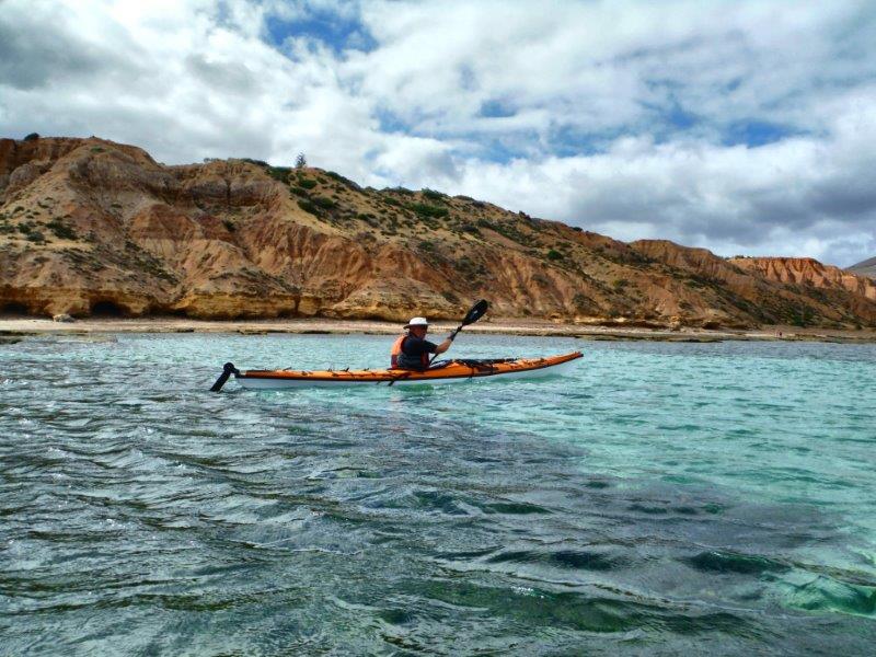
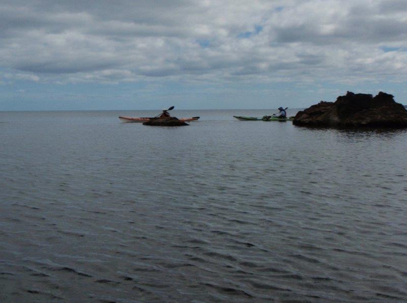
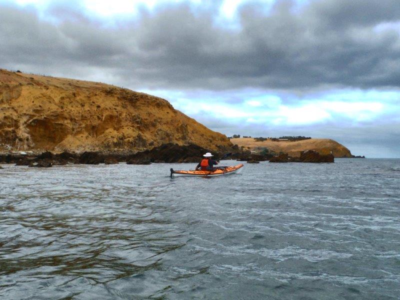
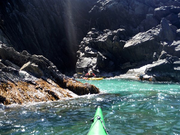
We soon arrived at the more interesting section of the paddle, where the steep cliffs fall straight into the water.

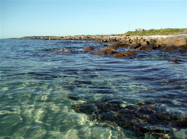
Clear water and shelter from the wind
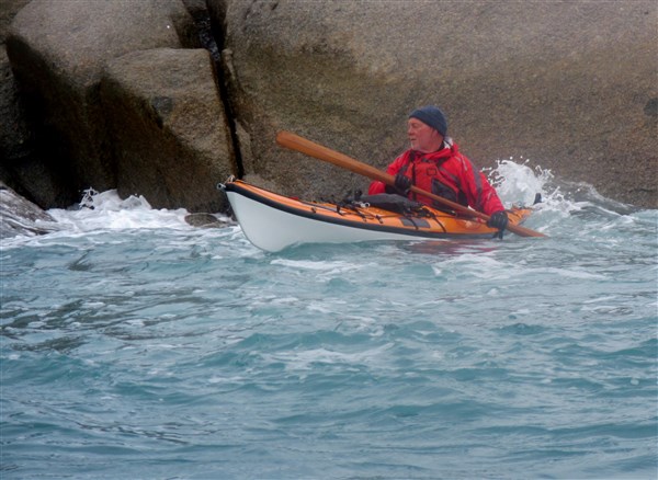
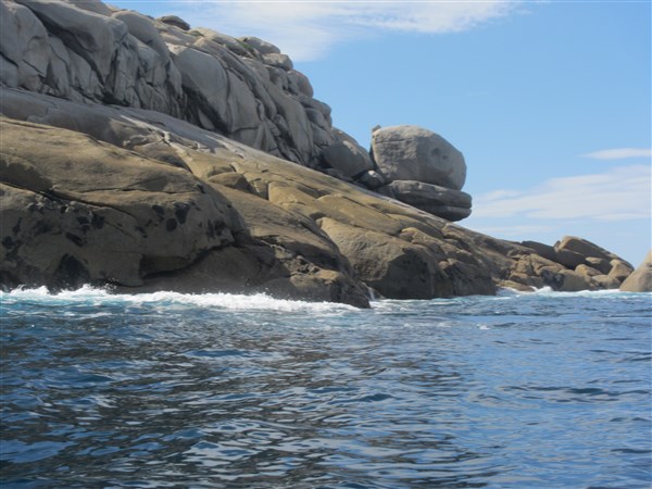
This allowed us to get up close and personal with the rocks and swell. As usual Steve was found bobbing around among the rocks.

Steve inspects another crevice

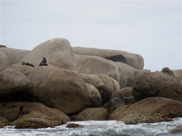
Rugged coastline

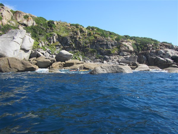
Inspecting the rocky coastline
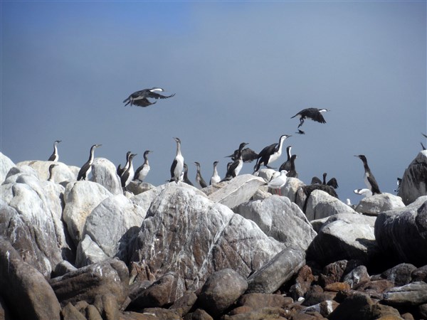
We “played” our way along the coast to Naiko inlet which is a small inlet with sandy beach. There we spotted the first signs of life for the trip. Maybe Alien life was a better description as we spotted a spaceship landed among the native bush.

Signs of life on the hill

A closer view of the landing spot
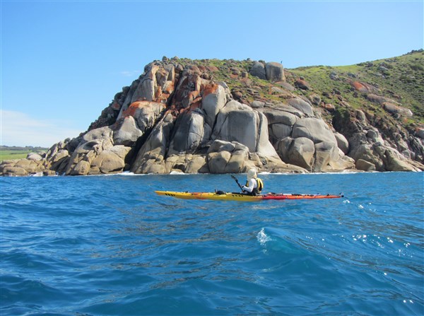
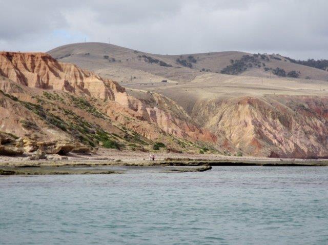
Soon Cobblers Hill was in sight with Blowhole Beach just around the headland. We could see bushwalkers on the Heysen Trail which runs 1200 km from Victor Harbor to Parachilna Gorge in the northern Flinders Ranges.

One more headland to go
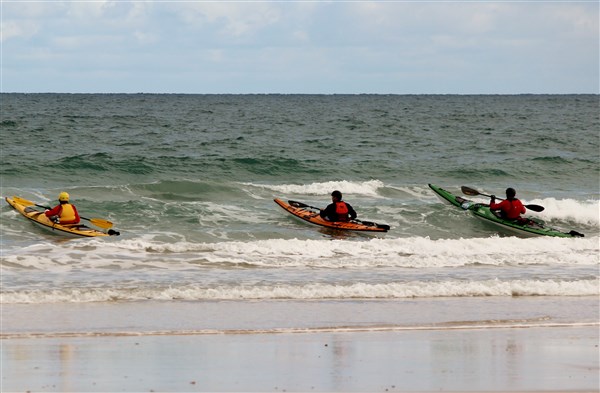
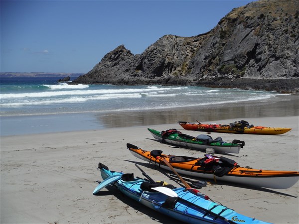
A landing through small surf got us onto the pristine beach for lunch.

Blowhole Beach
Rodney surprised with a bowl of fresh strawberries, cherries and grapes to share. Who said he’s disorganised ??
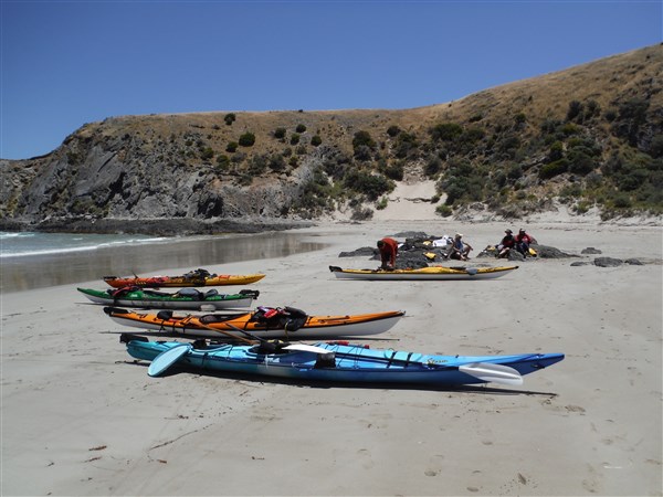
The lunch spot
Looking SW

Looking towards Kangaroo Island
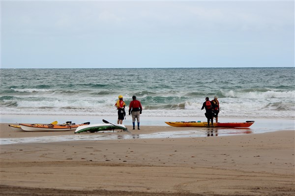
Then back on the water through a small surf we found that the wind had abated slightly but still gave us an easy ride home as we picked up the start of the flood tide.

Steve on the way out
Again we played around in some rock gardens resulting in me high and dry on rocks. (sorry no photos !!)

Having fun

Among the rocks again
Checking out a small ravine
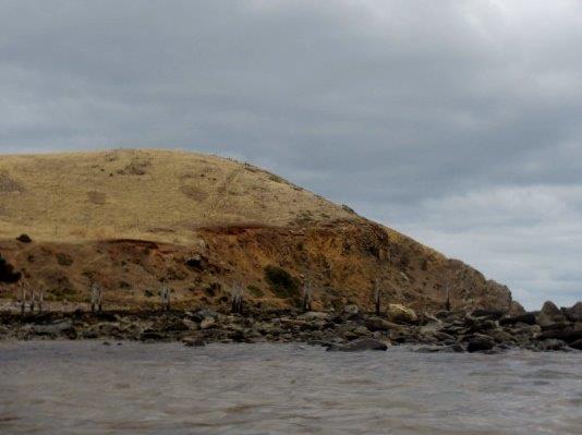
Many years ago some intrepid fisherman built a “get away” on the headland which is now complete with TV antenna. Unfortunately you can see that the “room with a view” has lost its’ door to a recent gale and now resides at the bottom of the cliff. Still your hardly likely to get too many interruptions here.
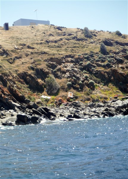
Room for one
We arrived back at Cape Jervis just in time to see the Kangaroo Island ferry heading out for Penneshaw. A great way to spend a day on this mainly deserted coastline with a pristine beach lunch stop.

Arriving at the Cape as the ferry departs
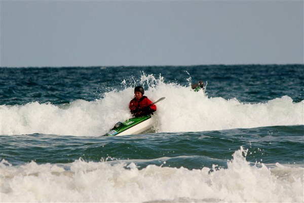
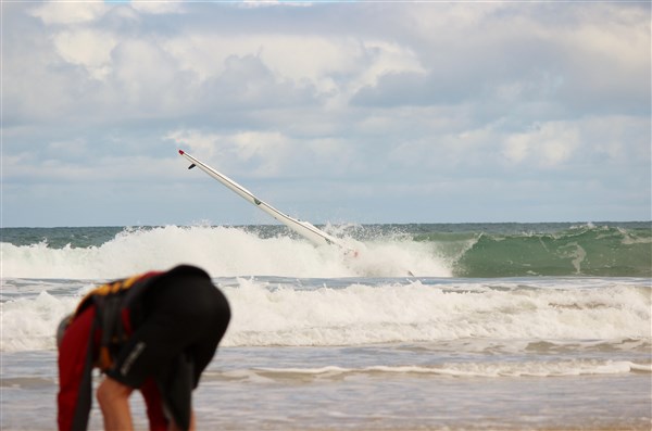
This is an excellent place for exciting paddling especially as the swell and associated clapatis increases. It should only be paddled by those with the appropriate sea skills and of course a properly fitted out sea kayak.
Happy Paddling
Ian Pope
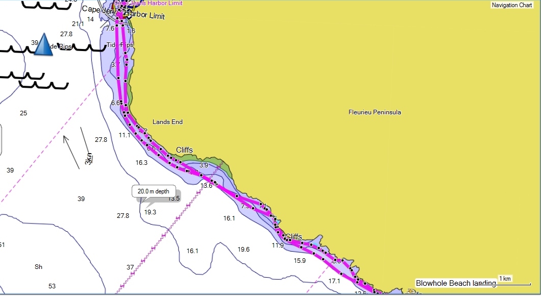
Starting point. Cape Jervis
Distance. 18km return
Hazards. This area is subject to a tidal stream of up to 3 knots so paddlers must take this into account on all trips. Note that South Australia has “dodge tides” and more information is available from the Bureau of Meteorology website (bom.gov.au). There are many reefy/rocky areas along the coast as well as the possibility of large breaking waves with the predominant swell being from the SW. There are limited landing spots along this coast even in good conditions. Take care and seek local knowledge.
Chart AUS 780
Paddlers and Photographers Ian, Shaun, Steve, Michael and Rodney