I don’t actually remember the first time I paddled into the Second Valley. It must have been in the very late 1970’s as I have found photos of our expeditions further south at Cape Jervis in 1984. Luckily “ The Valley” viewed from the sea has changed little in that time. Ron Blum, long time resident of the township, published “The history of Second Valley” in 1985 and I remember kayaking with him around that time. We both went on to paddle kayak marathons together especially the Murray 400km and Murray 200km races. Ron is still active in the Marathon Canoe Club and a link to his achievements is here. (I was the club’s first secretary)
I have been asked several times recently about paddling the area, so it was here that I decided to start a month or so of paddling along the coastline of South Australia, hoping for some interesting photos. Second Valley on the Fleurieu Peninsula is 100km south of Adelaide, the State’s capital, and has become a regular haunt for sea kayakers and scuba divers.
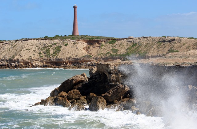
 The image above was by George French Angas in 1847 depicting local Aborigines fishing at Second Valley. Not a lot has changed as you can stand at the small jetty and easily see the features from the painting.
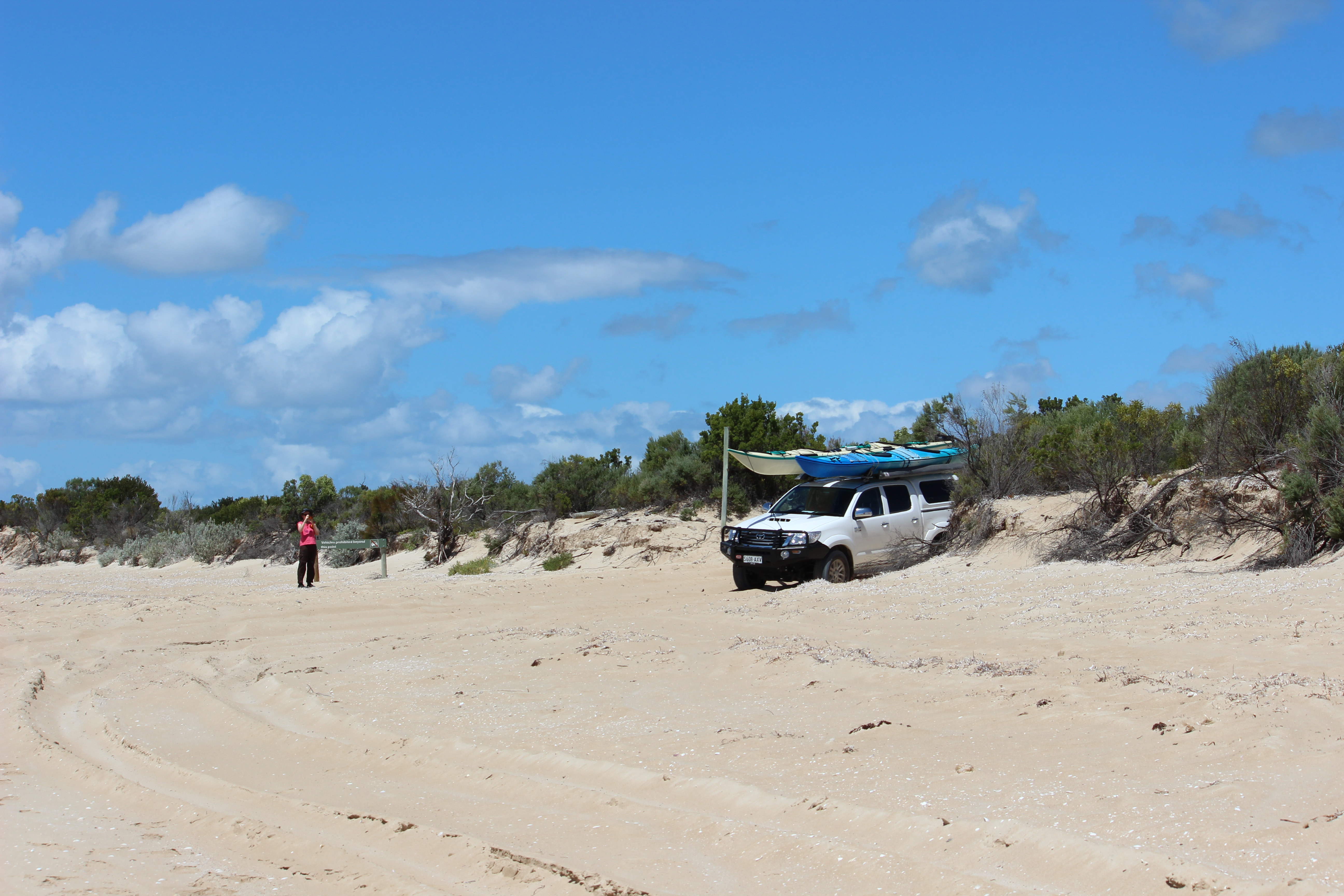
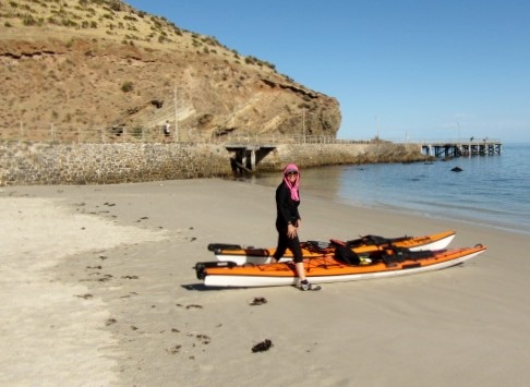
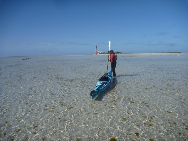
Our idea was to launch at Second Valley, paddle along the rugged coastline, past Rapid Bay and onto Rapid Heads where we often found New Zealand Fur Seals, Sea Lions and Dolphins. The small beach is an easy launching spot although it can be crowded with locals cooling their heels on a hot summers day. We set off around 9am to miss the predicted scorching 43 degree heat of the day and also avoided any crowds. We call any more than 3 people a crowd !!!

Ready to launch at Second Valley beach
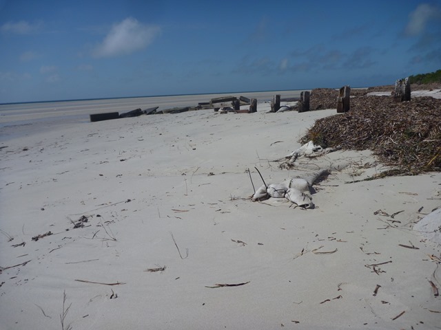
The last of the fishing village heritage disappeared with the removal of the tumble down boat sheds from the headland in 2009, however you can still see some of the foundations and the old launching winch.

Robyn passes the remains of the old fishing sheds and launching winch
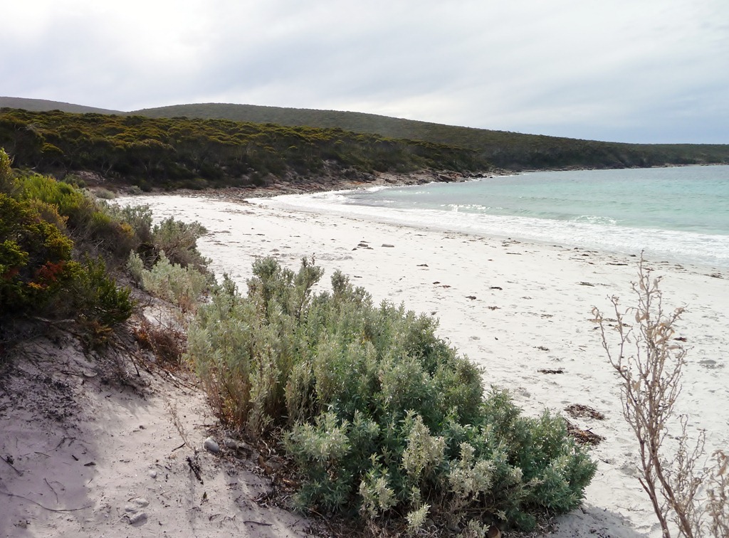
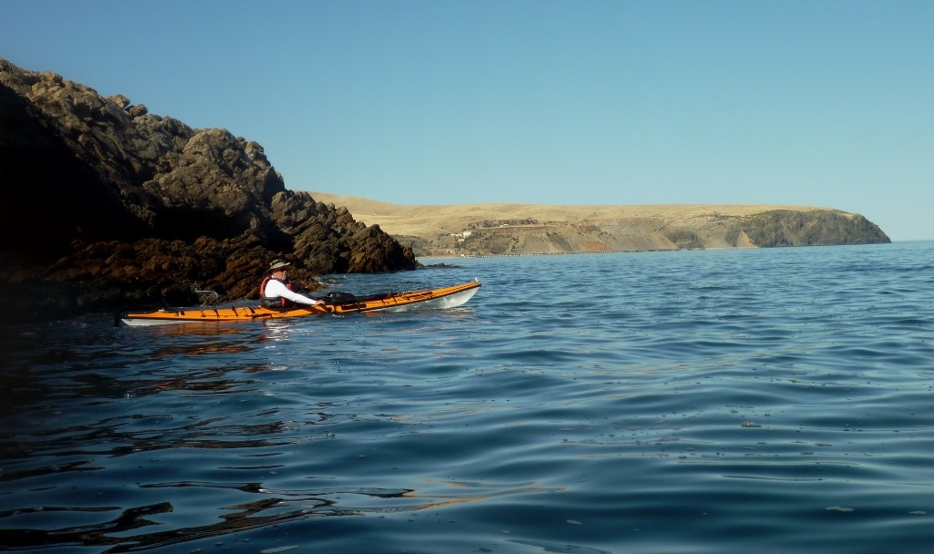
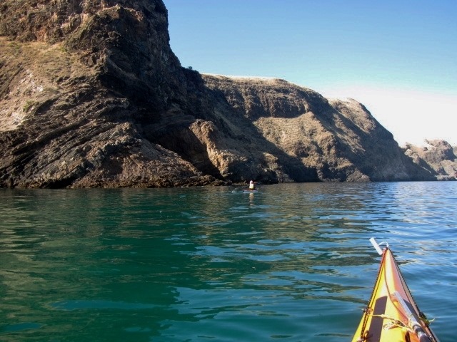
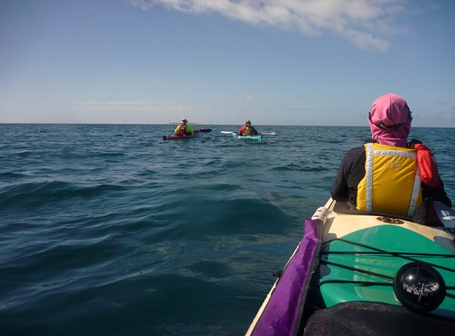
After rounding the rocks on the outer of the bay you get a view of what’s to come. You can see Rapid Bay just a couple of kilometres away with Rapid Headland in the distance. Few people venture far around the coast so often you will have the place to yourself as we did.


Heading towards Rapid Heads
Not far along you come to the Second Valley sea cave. Its not huge but just big enough to get a couple of sea kayaks in there. At one time we had 6 kayaks in at once but it was very squeezy. Robyn waited at the entrance as I explored the cave, taking a couple of minutes for my eyes to adjust to the darkness. The cave entrance is easy to navigate however care should be taken when there is a SW swell evident.

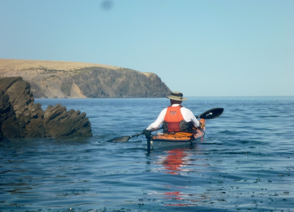
Taking in the view along the rugged coastline
Once in the cave it was easy to turn around and find Robyn taking a photo at the entrance.

Paddling out of the cave I found Robyn taking photos
Further on there are other small grottos to explore and lots of spectacular rock formations…….

Paddling along the ancient coastline

Another fissure to explore

Ian exploring one of the small grottos in the cliff
…..and a couple of secluded beaches which we would visit later for a relaxing swim.

One of the many small secluded beaches
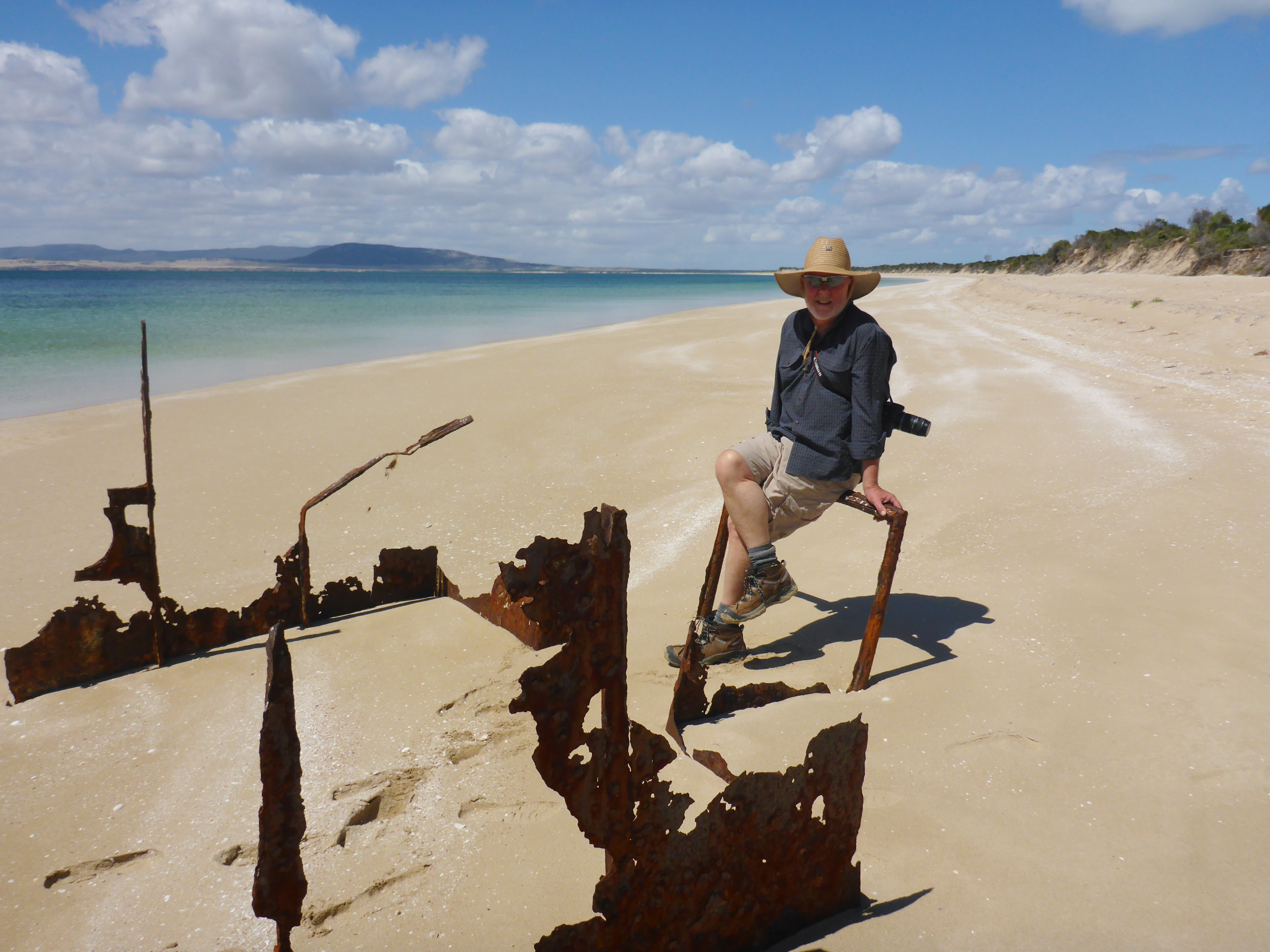
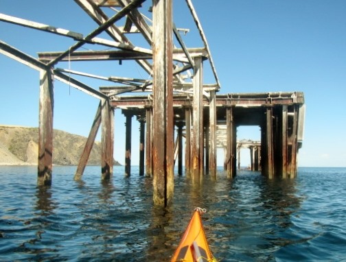
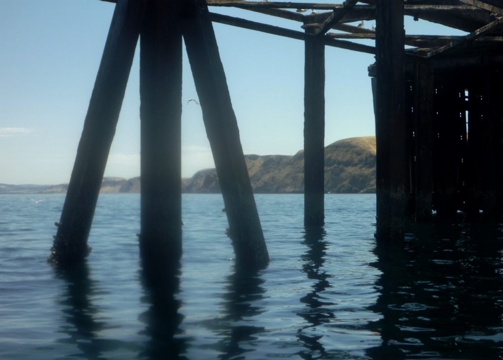
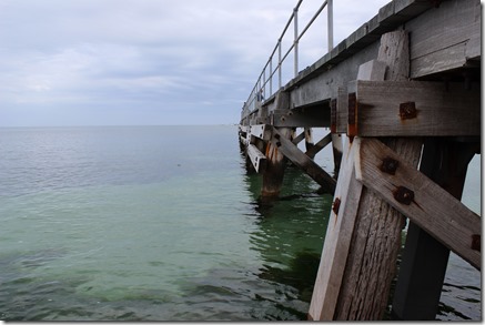
Further on you can make out the Rapid Bay jetties. The larger structure was used as a loading wharf when BHP was mining in this area. The jetty has now fallen into disrepair but is a haven for fish life. A smaller jetty was built near it for recreational fisherman and scuba divers.

The structure also makes for some interesting photos.


Looking towards Second Valley
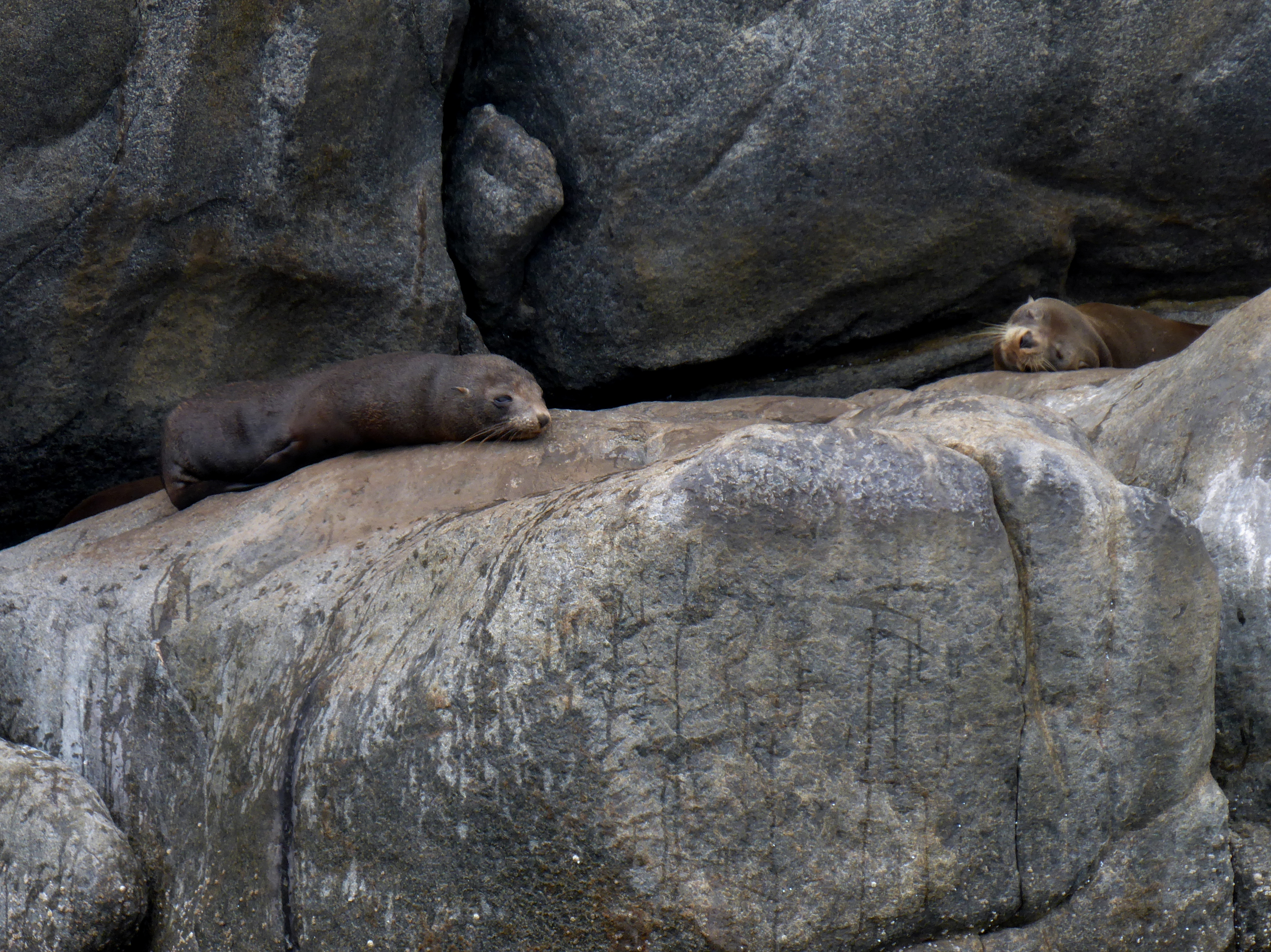
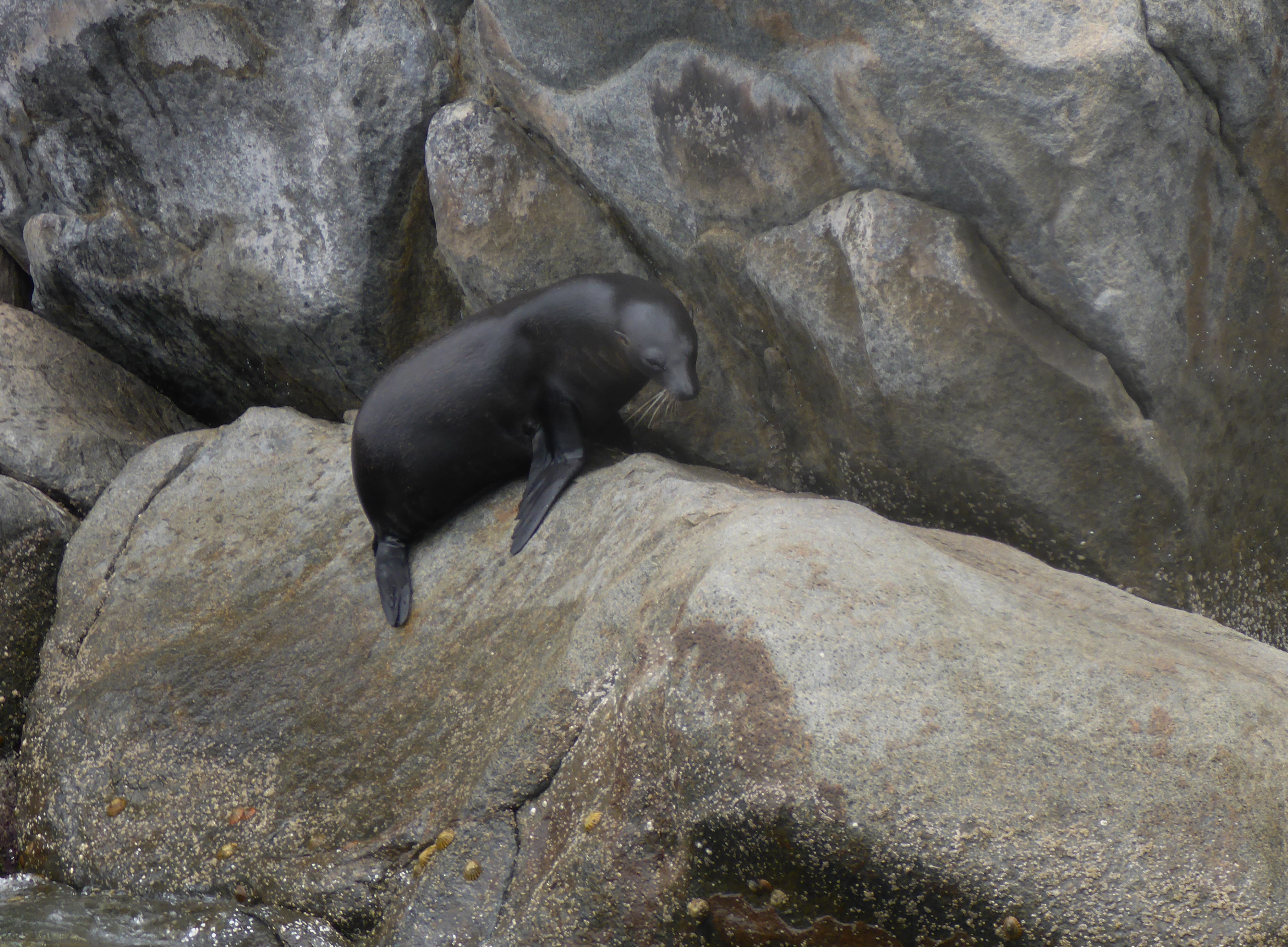
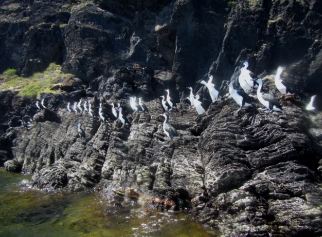
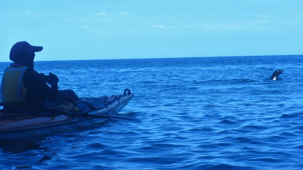
After passing Rapid Heads, where there is often a confused sea around the bommies, we found the seals playground. Today there were only a few New Zealand Fur Seals lolling about, but often there are also Australian Sea Lions in residence. The Pied Cormorants seems always to be here in reasonable numbers and the trick is not to disturb them lest they decide to take off in a hurry, necessitating the empyting of their bowels. Not a pretty site splatting across the deck of your kayak, or you (always wear a hat !!).

Pied Cormorants, commonly called Shags all ready for take-off
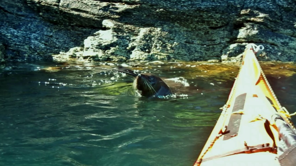
We met up with all the usual suspects. NZ fur seals bobbing around the bow of the kayak and dolphins speeding past on their way south.

Suddenly there was a set of whiskers on my bow

Robyn is visited by an inquisitive seal
Second Valley and Rapid Bay areas offer lots to the sea kayaker and the whole day trip is only 12 km or so, allowing plenty of time to explore or have a relaxing lunch on one of the secluded beaches.