
It was some time after dawn and I could hear the wind whistling through the trees. I stuck my head out to feel a good 20 knots of wind which was supposed to have abated by dawn giving us a nice 10 knot SE breeze. Well that was the forecast anyway, but maybe things would calm down as the morning went on and the sun warmed to the predicted 25C.
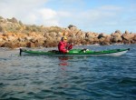
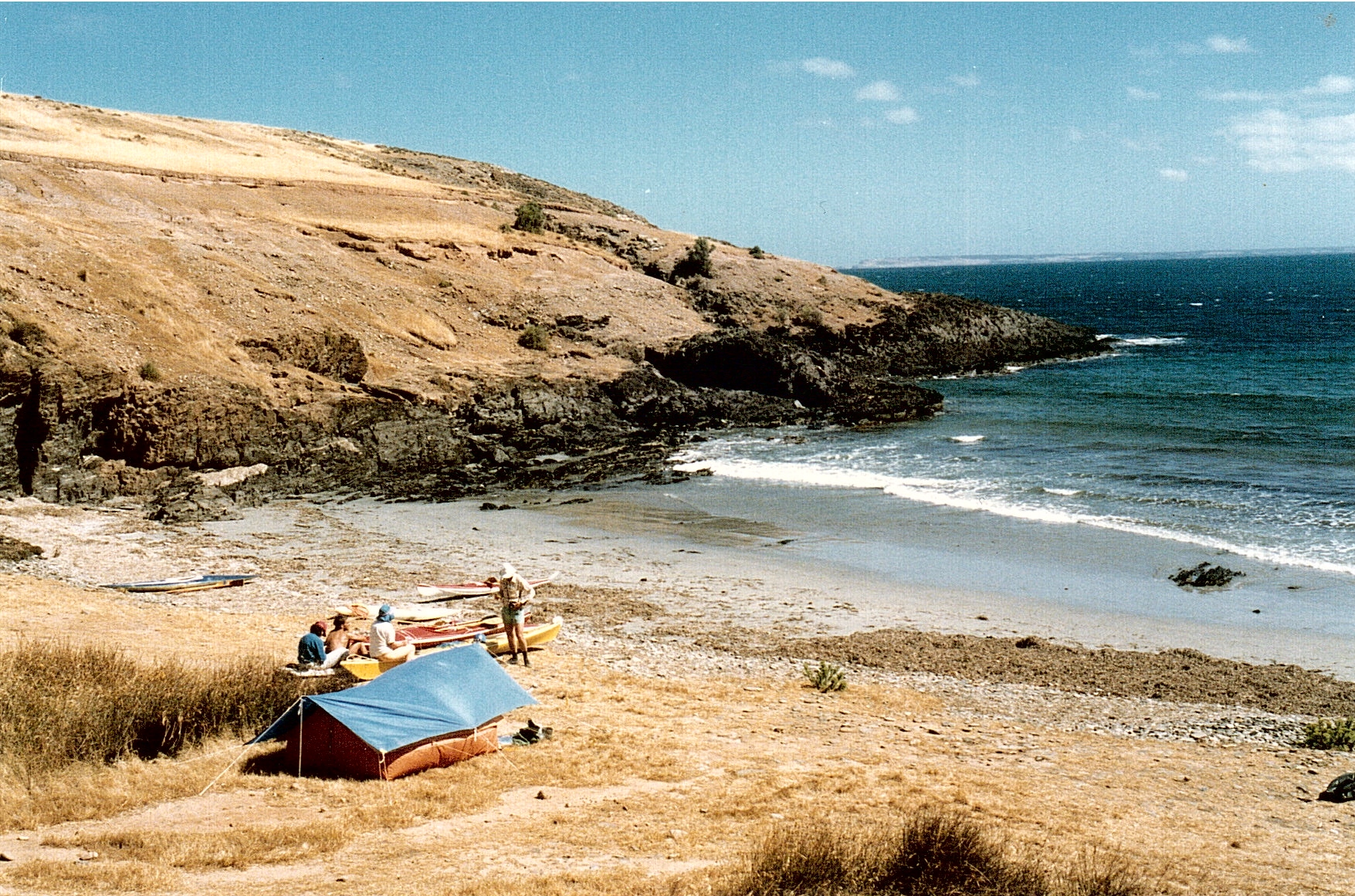
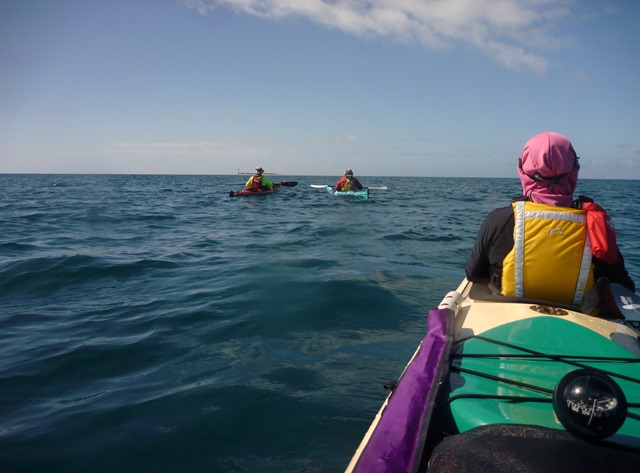
Gavin and Rodney arrived with the wind dropping and our paddle to Maippunga Beach was on. The 16 km return trip is mainly along cliffs fronted by a narrow rocky beach and is a lovely paddle in most conditions. Beware of anything over 15 knots from the SW which will give a short confused sea and testing paddling conditions, but today was not that day.
The wind had abated and close inshore is protected from the SE’ly winds by the high cliffs, so we were assured of a easy paddle at least until the predicted 20 knot southerly winds arrived later in the morning; hopefully providing a little fun on the way home.
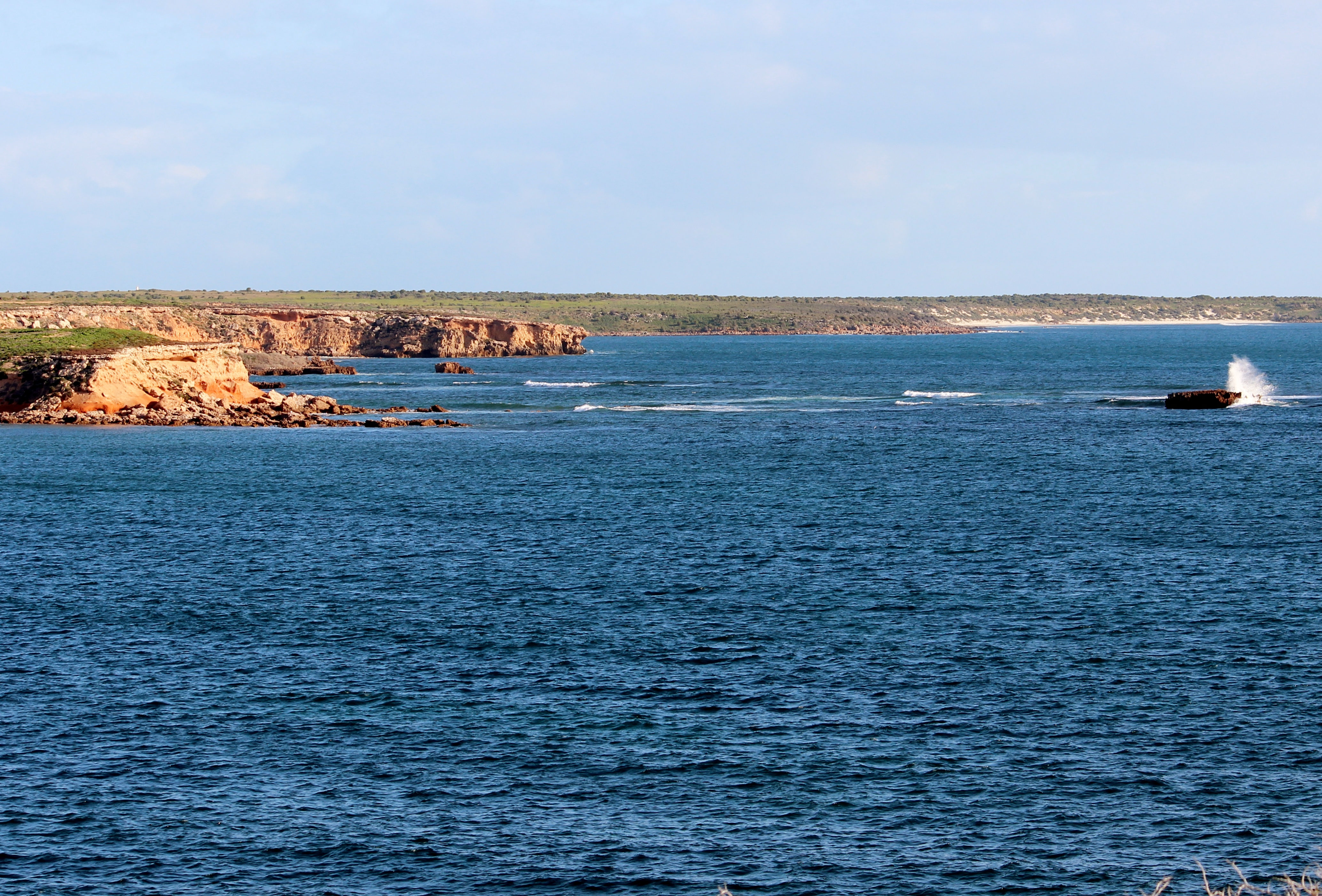
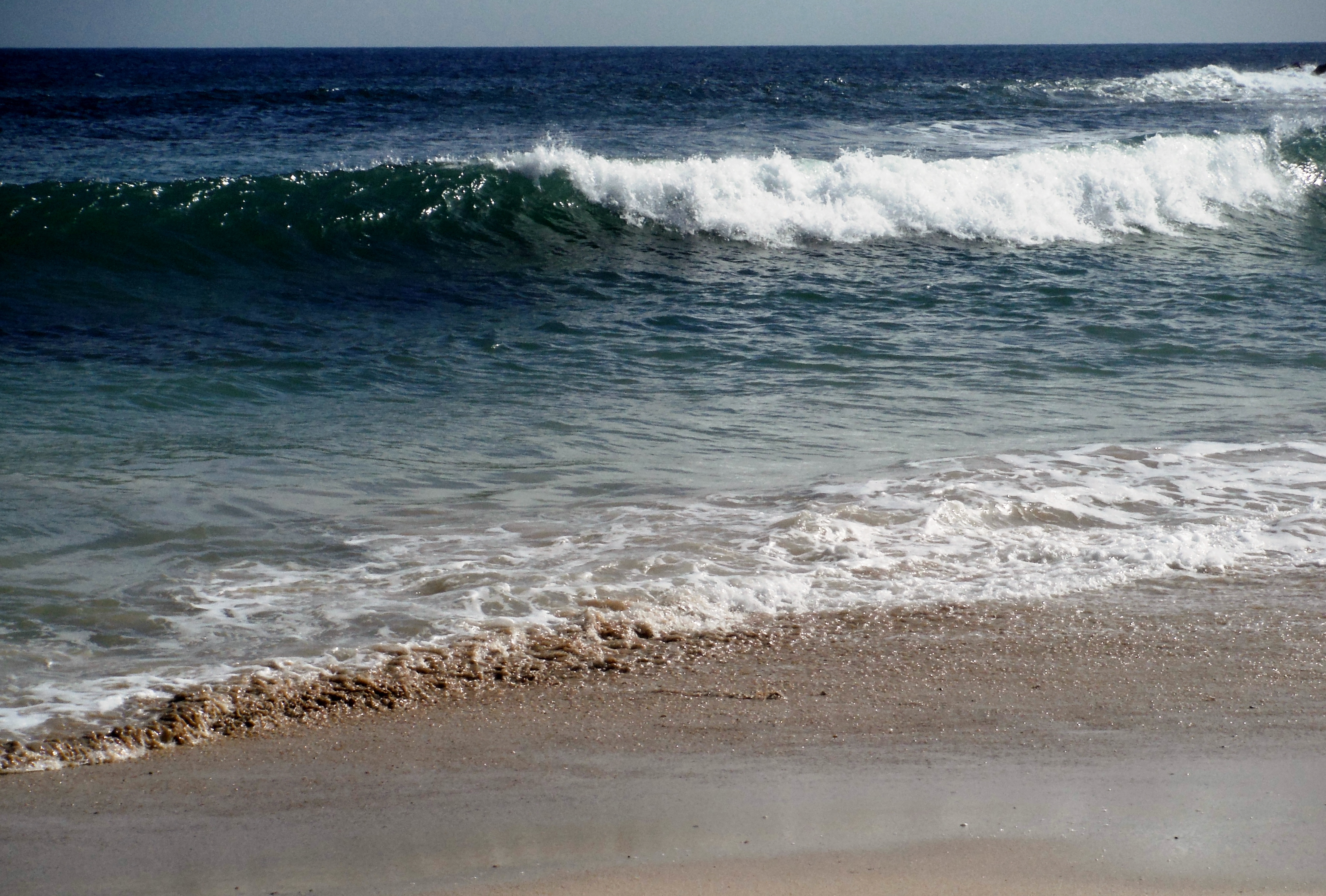
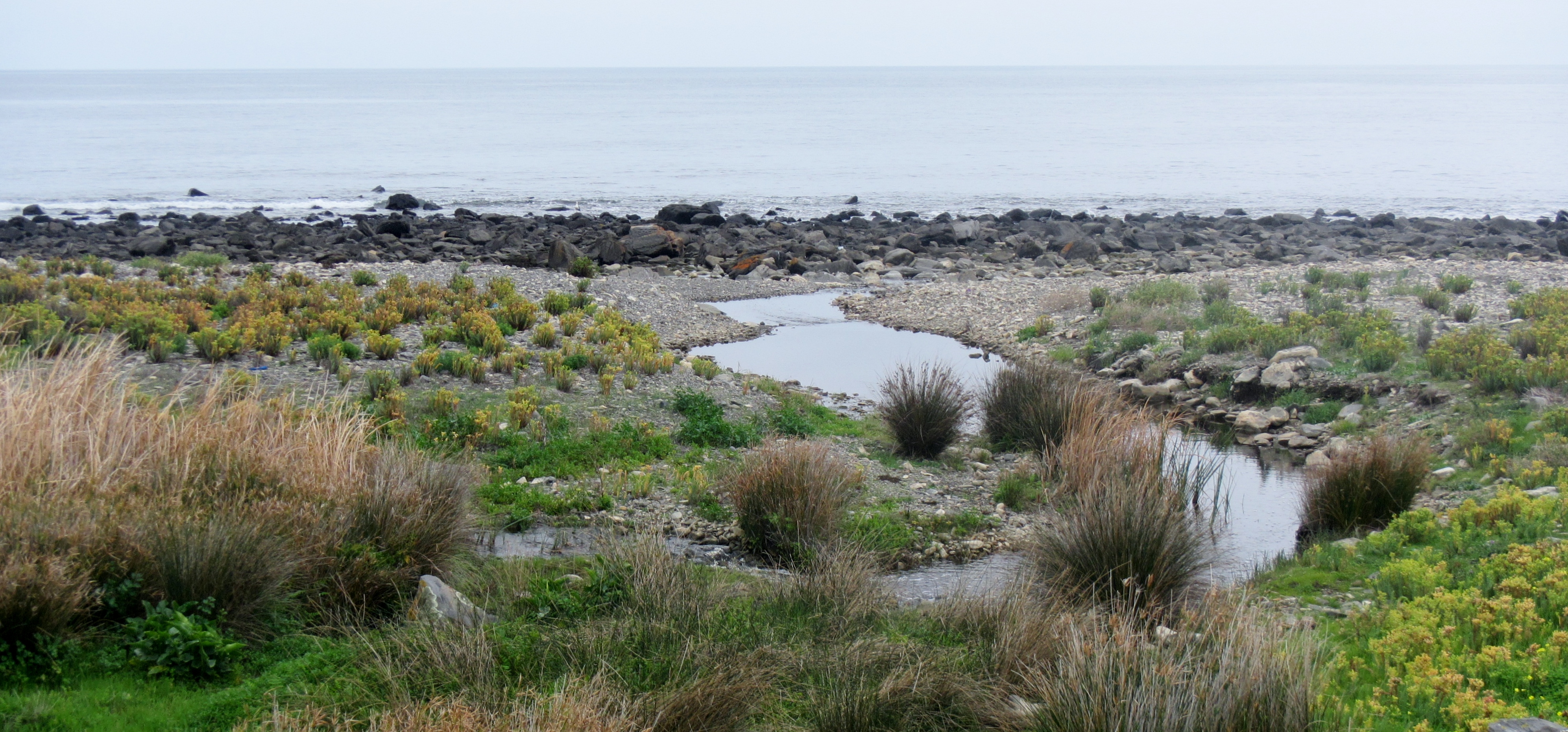
The sky was mainly overcast with the sun poking through occasionally to light up the cliffs and give us the chance of a few nice photos. The water along this coast is often very clear and takes on an interesting blue colour as the light changes.
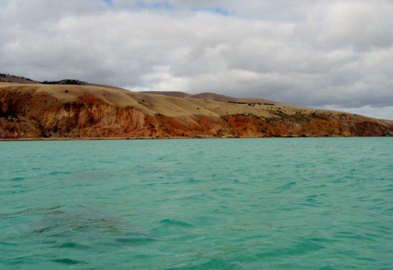
Looking south from Sellicks Beach
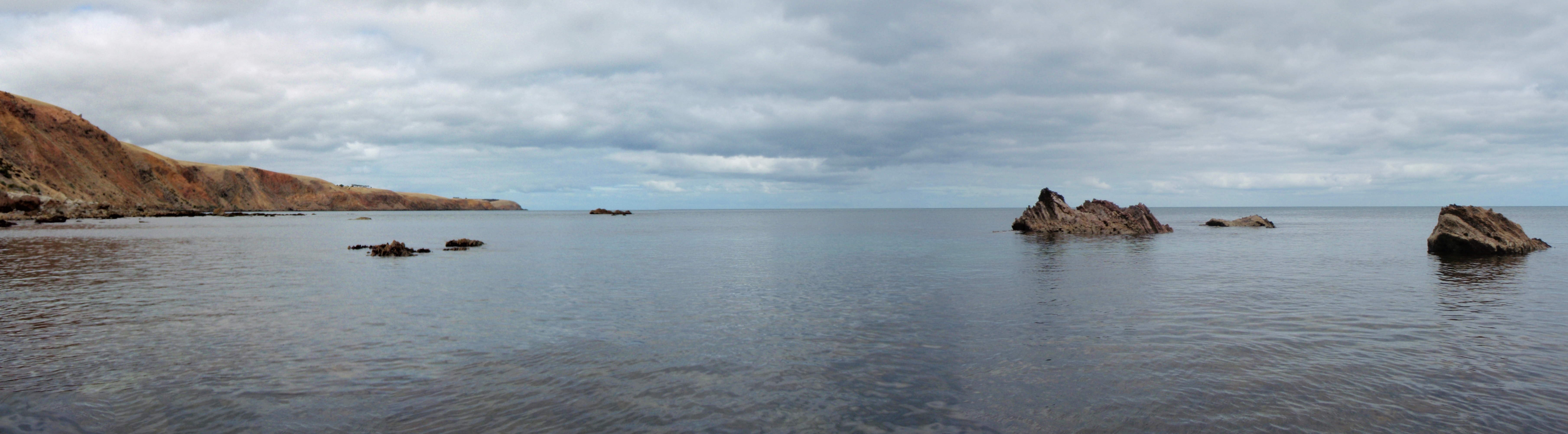
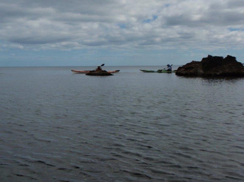
Calm seas
Maippunga is the Kaurna aboriginal name for the Myponga area and translates to “place of high cliffs”. The Kaurna people lived on this land before white settlement in the area about 1840. Before settlement the hills were covered with gum and wattle trees however large tracts were cleared by the first farmers in the area.
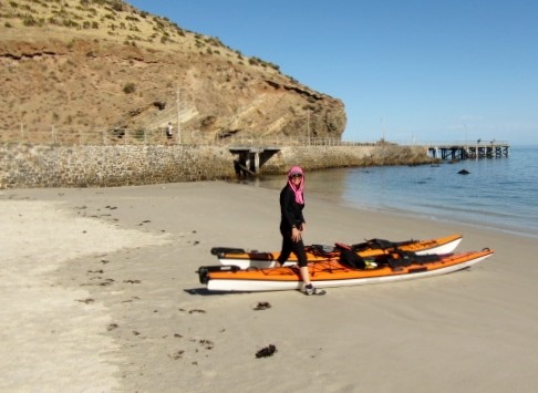
Our start on Sellicks Beach is at the outer limit of the Adelaide metropolitan area and was a place that I had spent holiday time as a child, although then it was just a few houses above the beach. Myponga Beach is a small beach area with a few holiday houses dotted along the shore and surrounding hills and has now become a premium place to have a holiday shack.
We paddled past a couple of dog walkers on the beach.
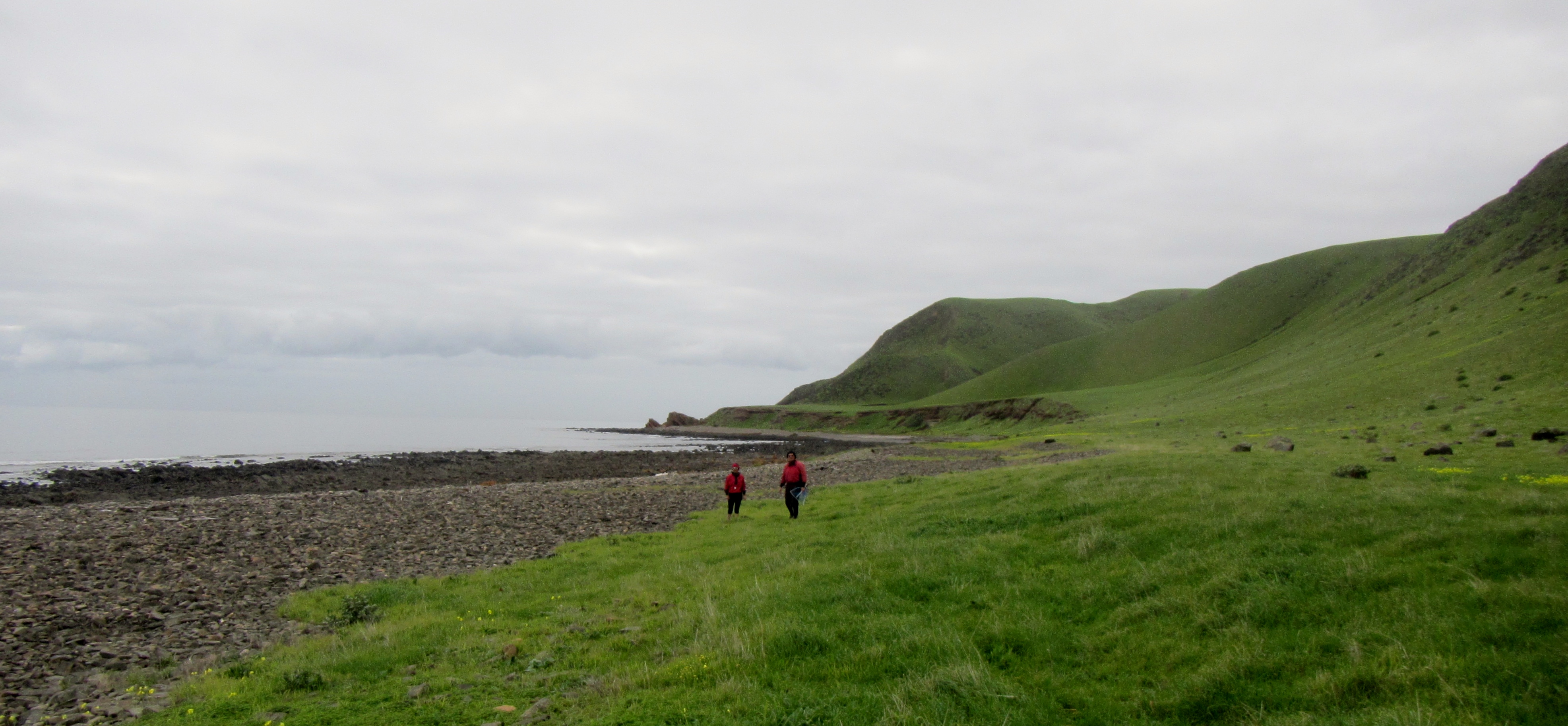
Beautiful morning for a walk

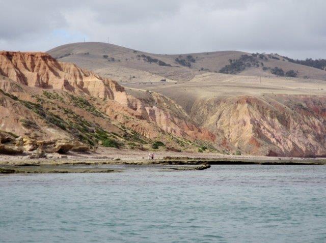
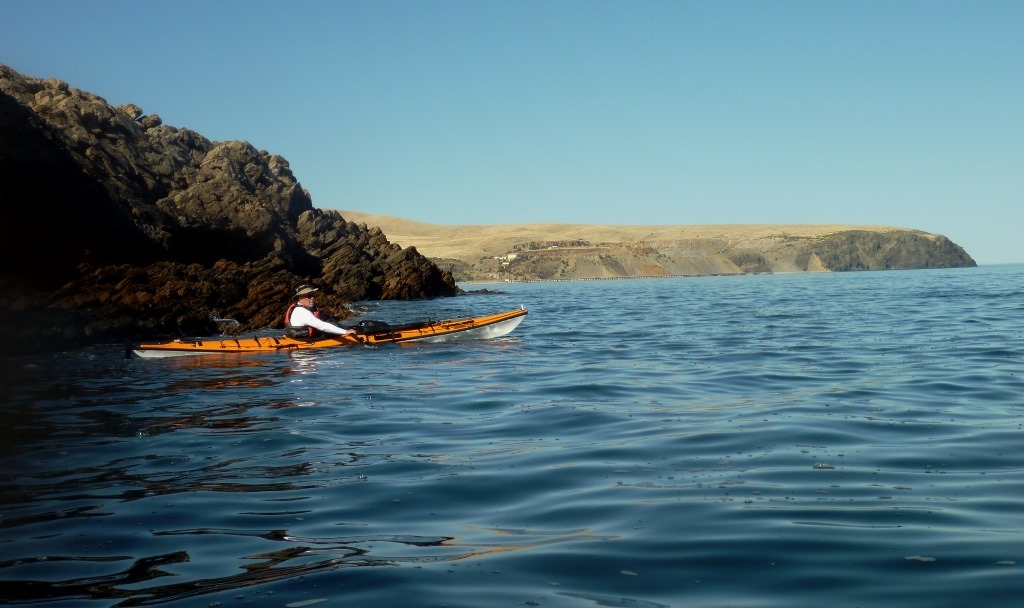
View along the coastline
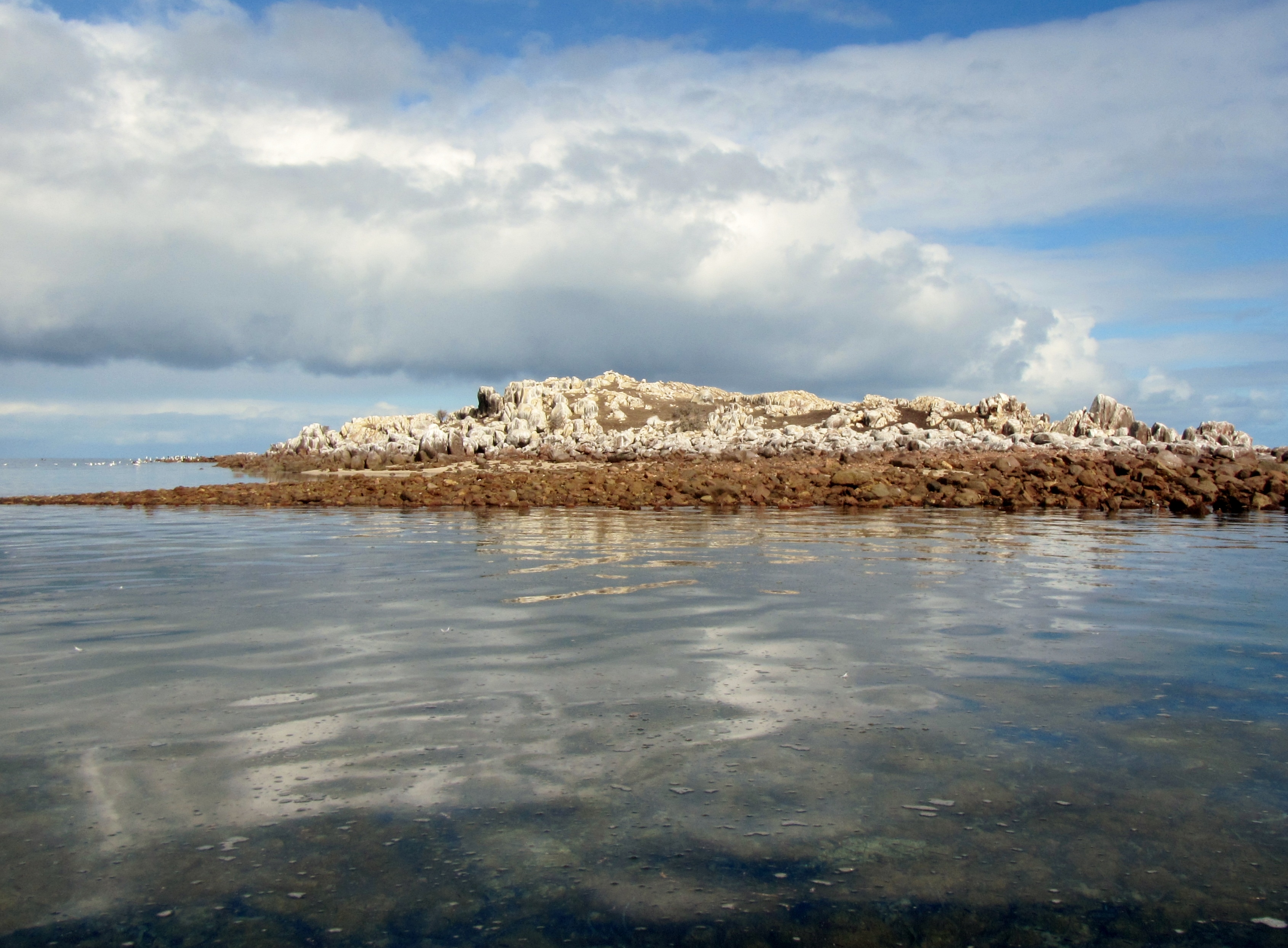
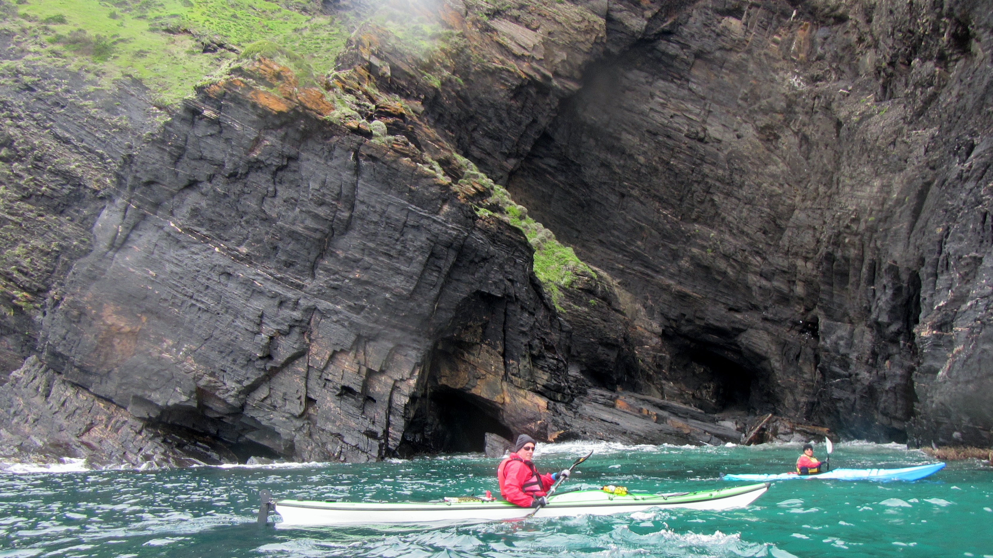
Clear water and limestone cliffs

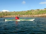
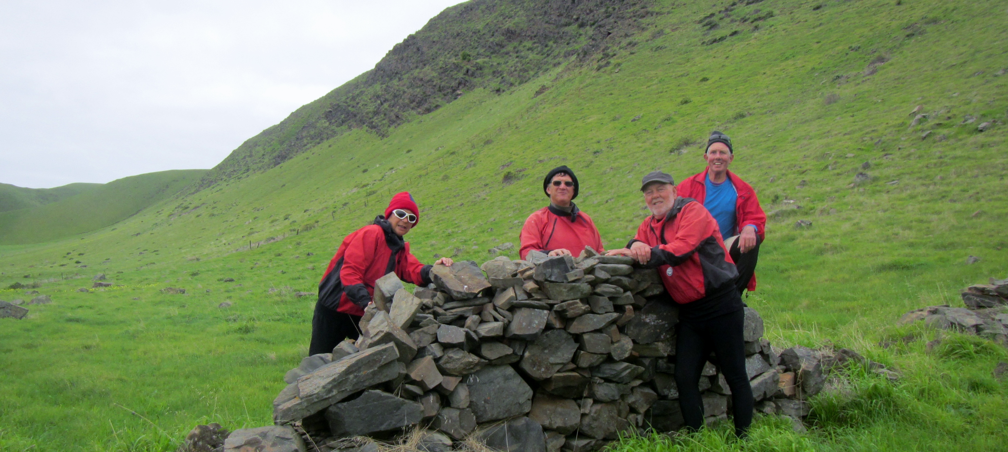
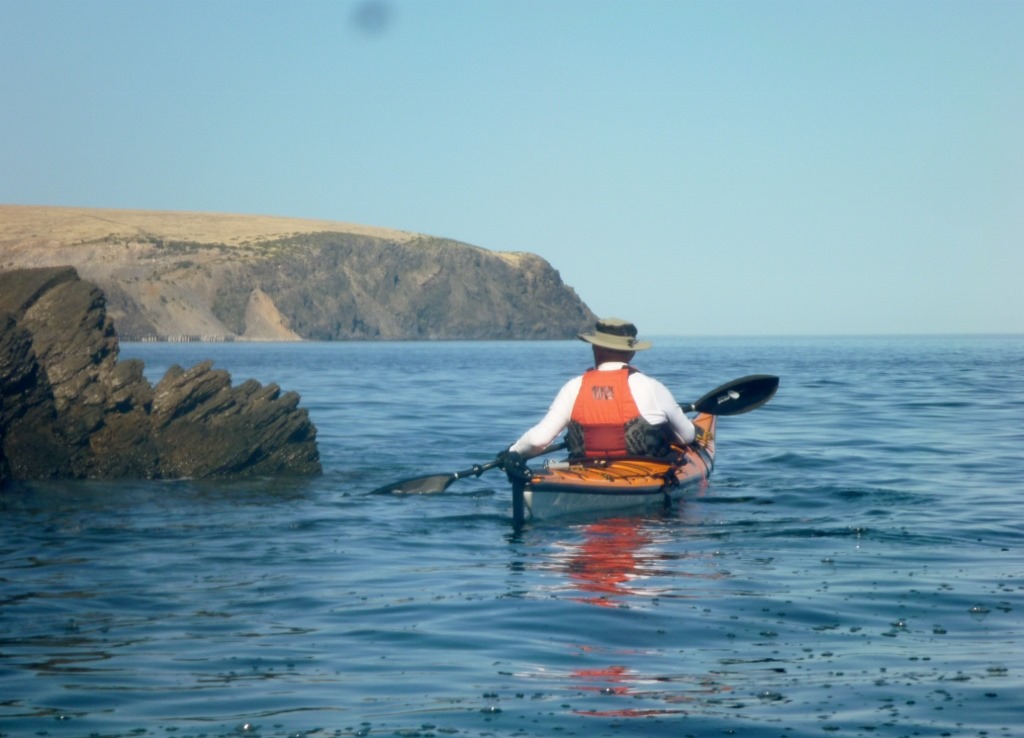
Gavin admiring the morning view
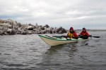
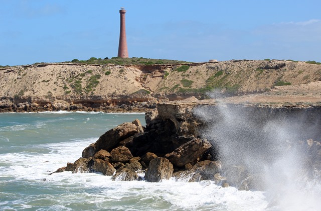
We were able to get in close among the rocks and check out the rock strata. Most of the area is sedimentary rock, formed from layers of sand, mud and limestone deposited on an ancient sea floor between, roughly, 1000 million and 600 million years ago. Geologists know this era as the Proterozoic era, meaning ‘first life’and until very late in the Proterozoic, the only life in the seas was blue-green algae, still familiar to us today. The youngest rocks in the area belong to the Cambrian period (600 to 500 million years ago) when then-abundant marine animals evolved hard shells and thus began to show up in the fossil record. Fossils from Myponga Beach were the first proof of Cambrian-age rocks in the greater Adelaide area.
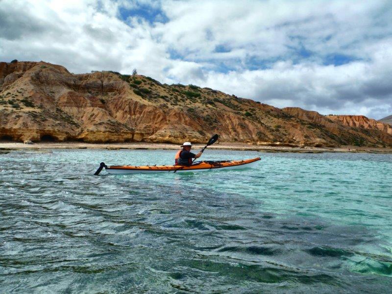
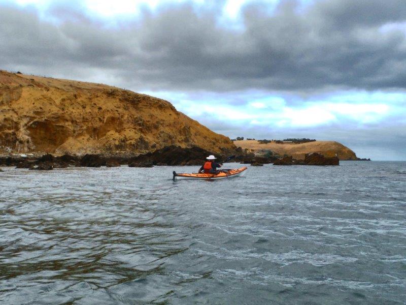
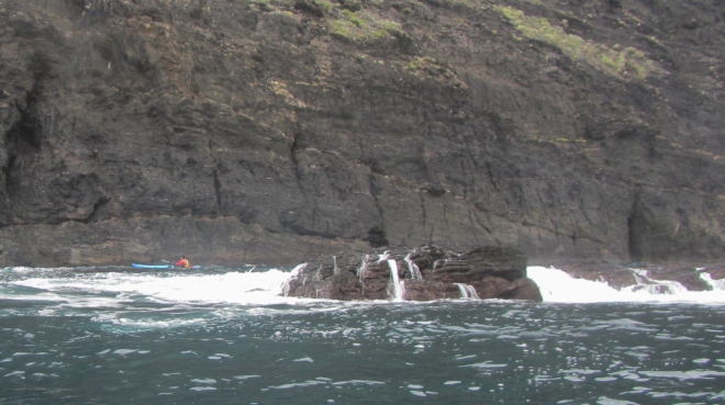
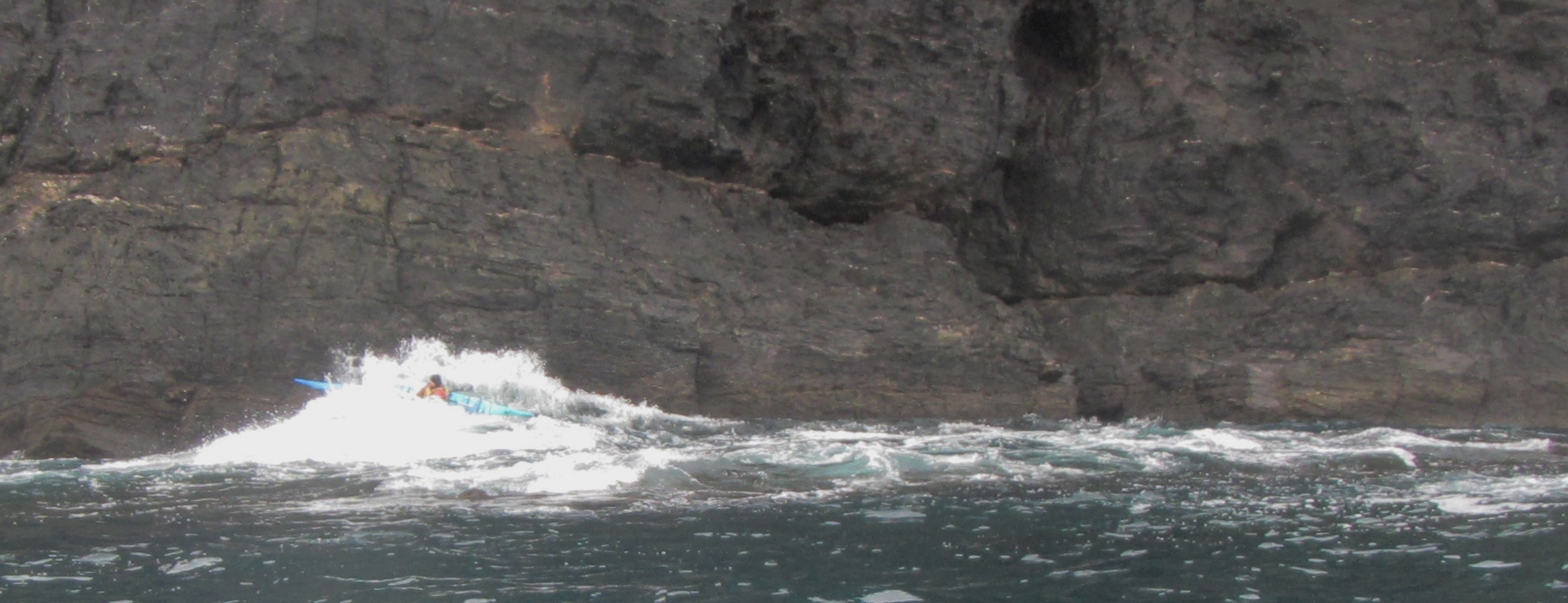
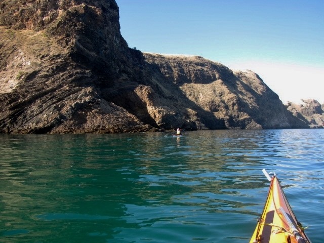
Paddling amongst the rocky outcrops

Heading in for a closer look

Eroded cliff face

Finding a new path

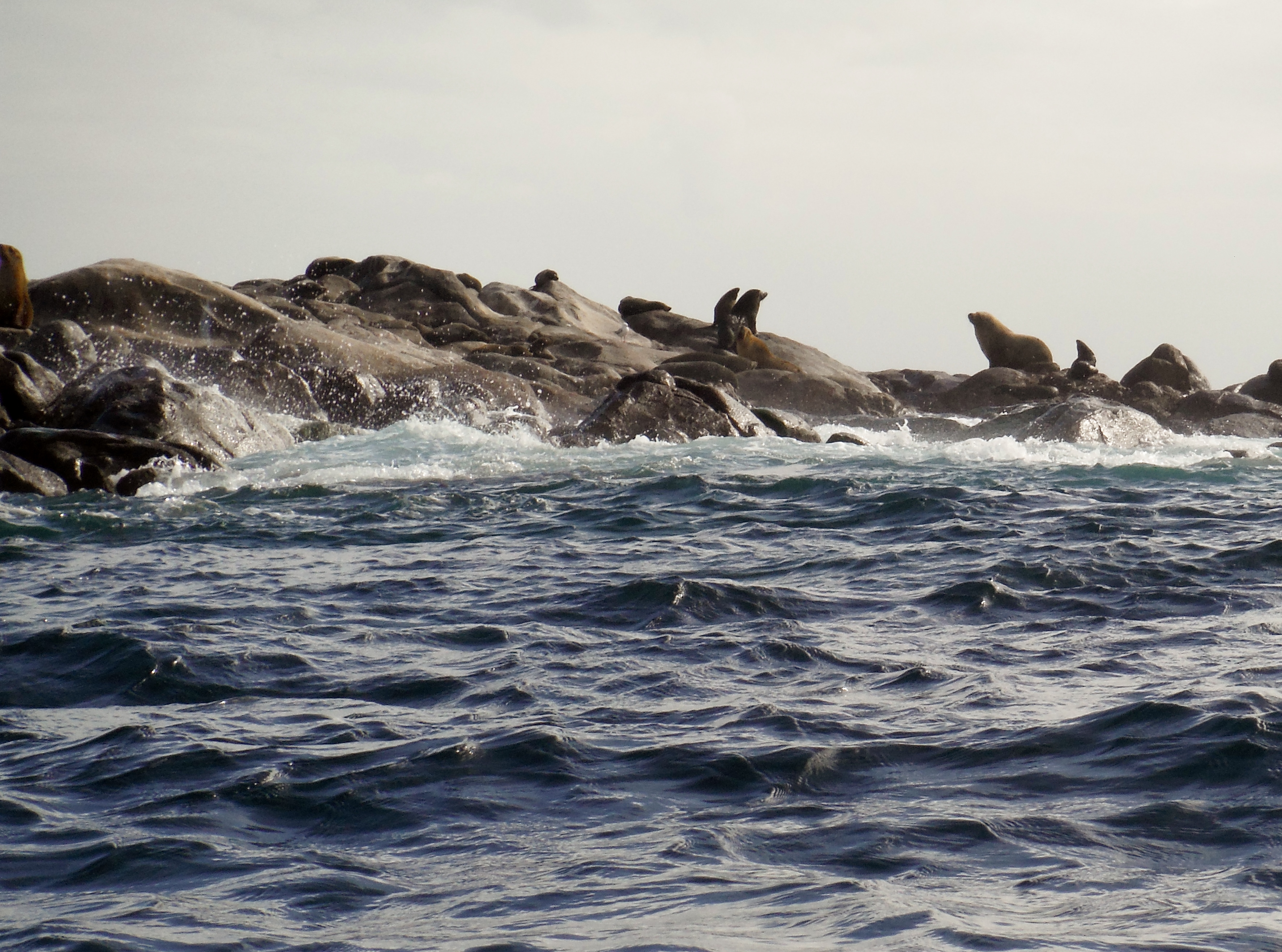
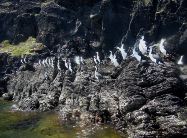
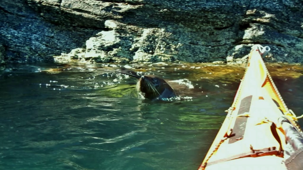
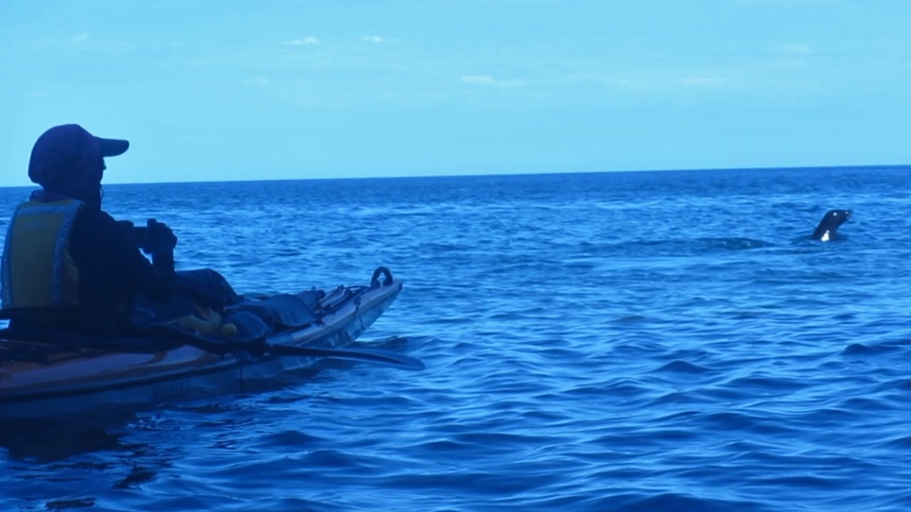
We met some of the local inhabitants. There are rookeries of Pied Cormorants along the coast with numbers varying with the seasons. Pods of dolphins are also common offshore and there has been occasional sightings of Southern Right Whales in winter.
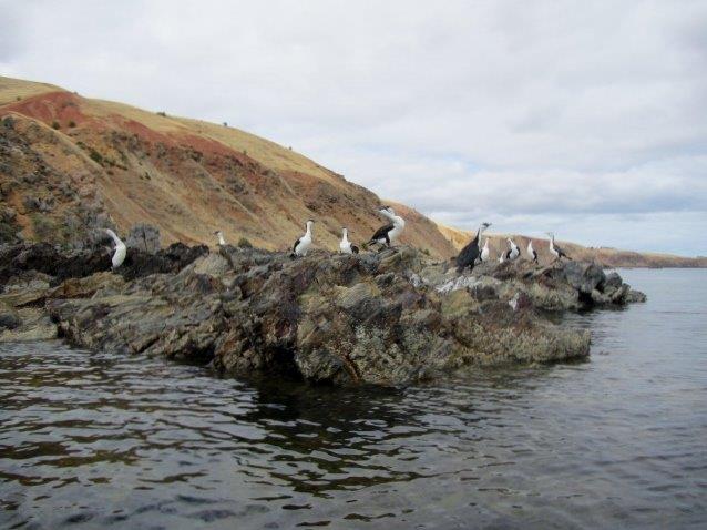
Pied Cormorants

Meet the locals
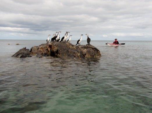
Stranded like a Shag on a rock
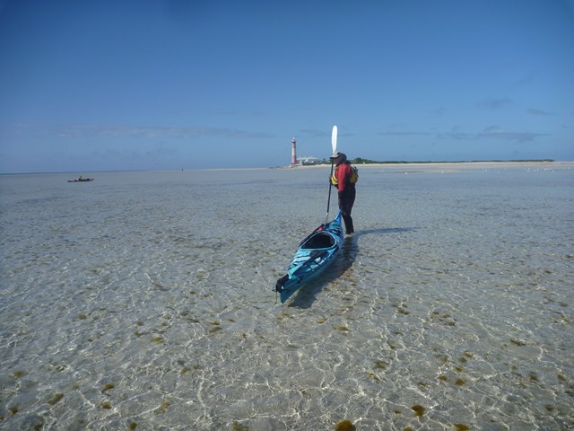
Myponga has a boat ramp for launching small fishing craft at high tide as long as you own a tractor and is now a favourite spot for a holiday house for those that can afford it.
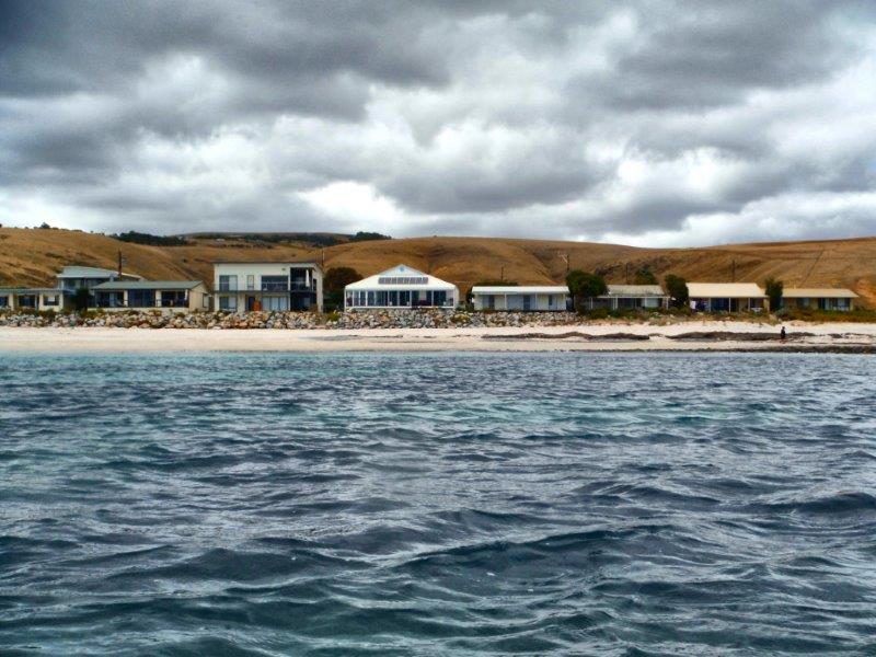
Houses on Myponga Beach
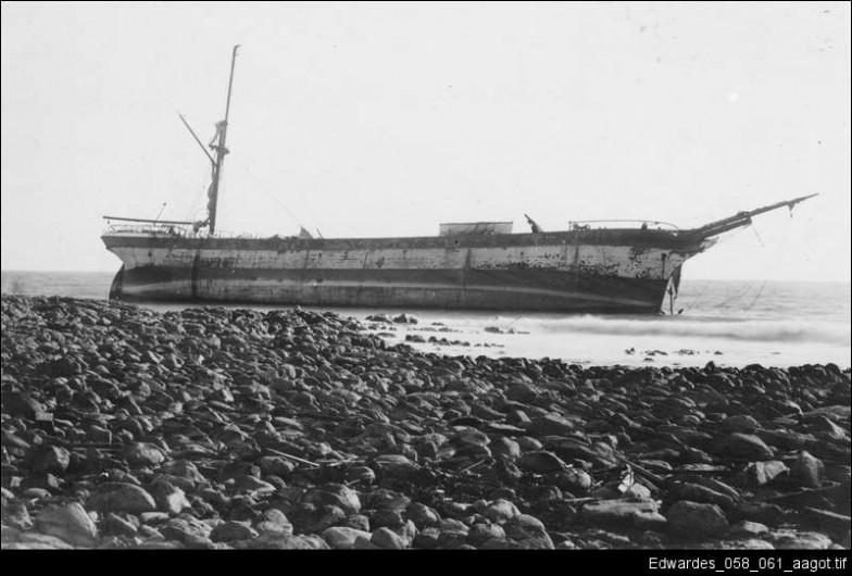
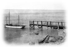
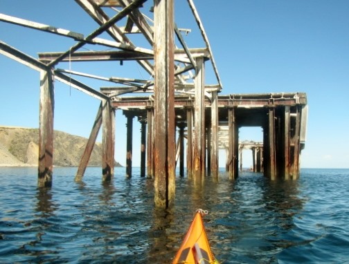
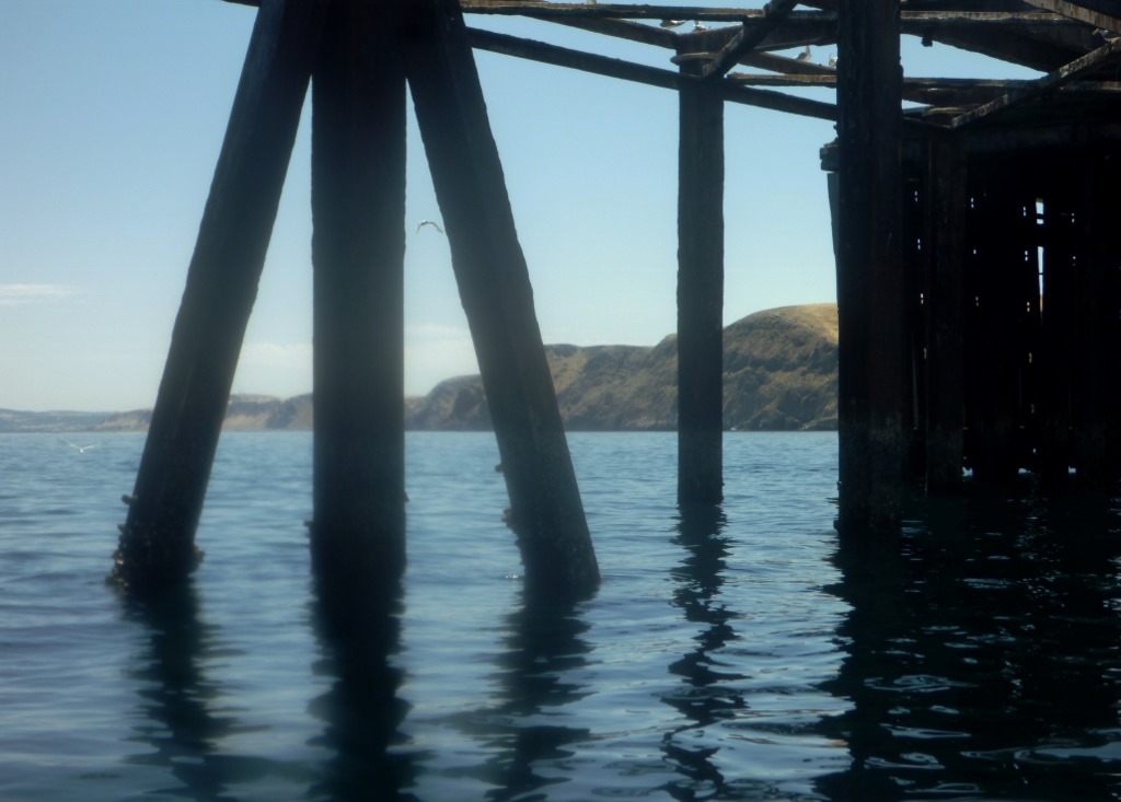
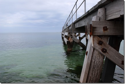
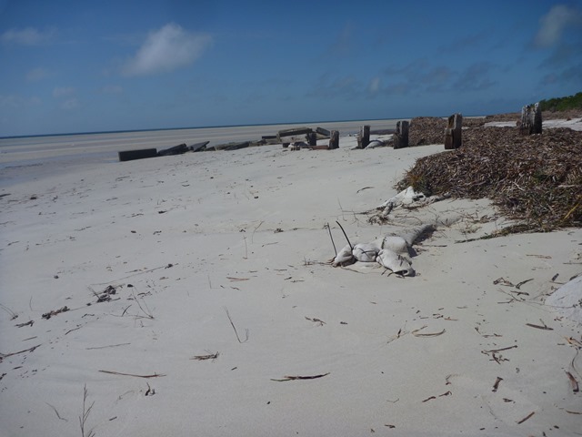
Near the southern headland is the ruins of the old jetty which serviced a healthy shipping trade for 30 years exporting local wattle bark for leather tanning, livestock and wheat. The jetty opened in tragic circumstances when a woman nursing a baby fell off onto the rocks. She cushioned the fall of the baby which survived, but unfortunately she was killed. Eventually the ketch trade weaned and a big blow tore the jetty apart in 1900.
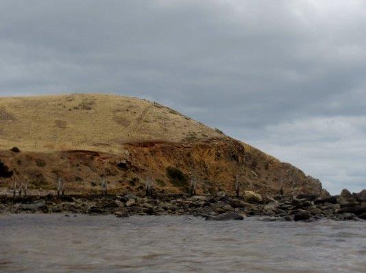
Remains of the old jetty
On our return trip we headed a kilometre or more offshore to pick up the predicted southerly wind. This is a great easy sea kayak paddle in the right conditions, but can be a very difficult paddle when the SW winds blow causing a confused sea, clapatis close inshore and is often affected by catabatic winds along the cliffs.
Photos by Gavin Rodney and Ian.


