The Western Shore

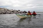
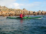
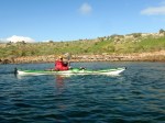
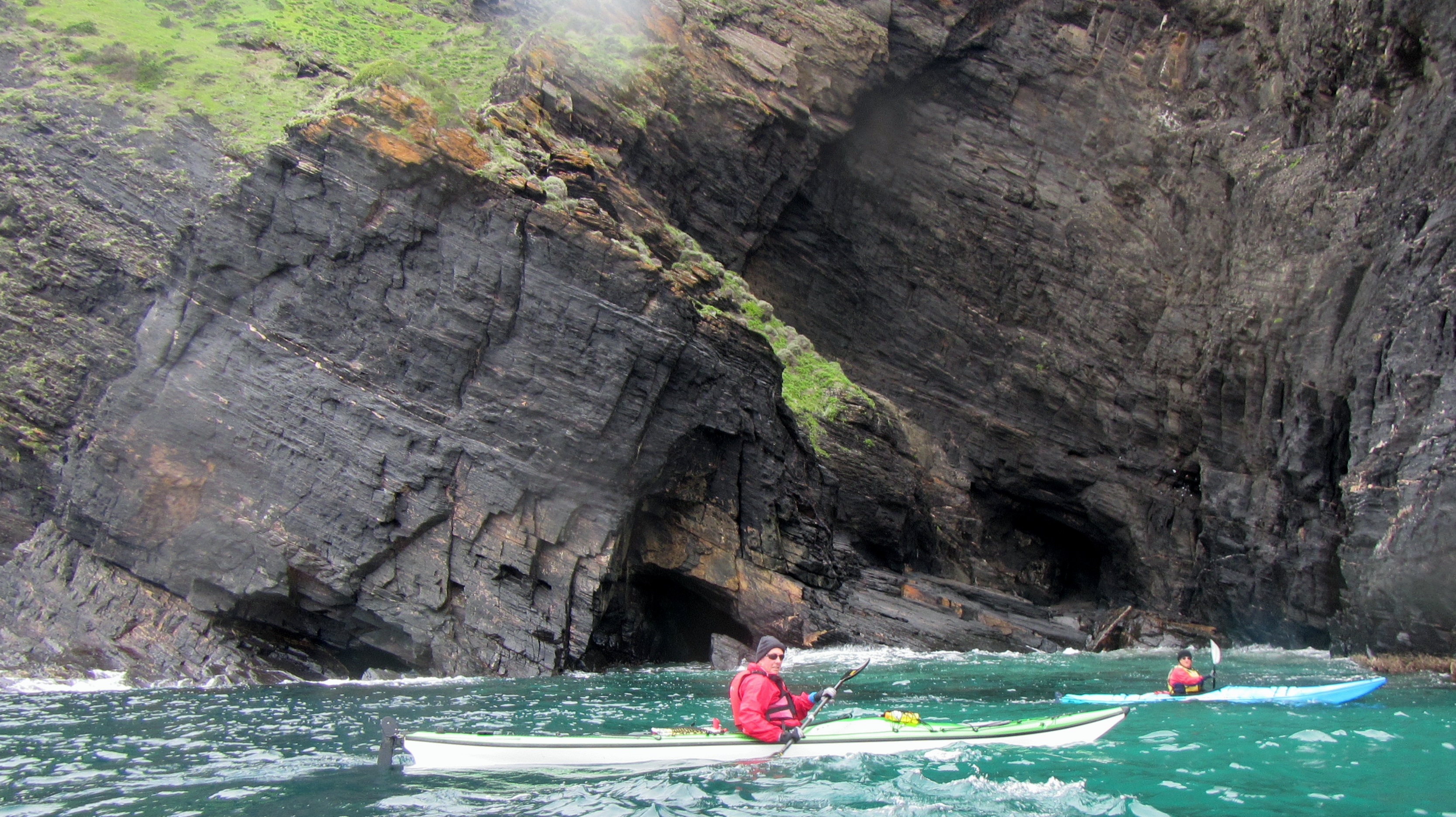
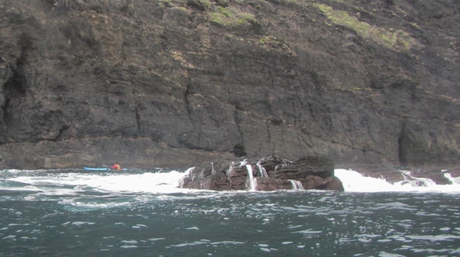
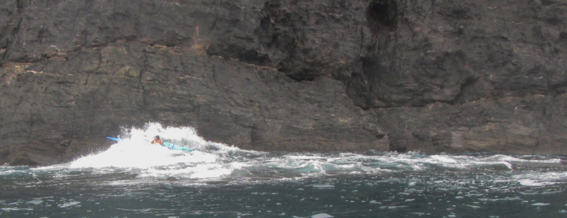
The Aagot, an iron Barque of 1242 tons, built at Glasgow, 1882, as the Firth Of Clyde, but now laying on rocks on Wardang Island. A gale on 11 October 1907. wrecked the ship in rough seas and  imprisoned the crew on board until the ebb tide moderated conditions and allowed a member of the crew to swim ashore with line. wreck_aagot I’ve paddled past the wreck site a number of times in fair weather and seen the outline of the anchor poking from the rocks at low tide but this time we looked at the wreck from a different angle. We had paddled offshore 13km from Pt Victoria to the north western side of Wardang group of islands with a fresh headwind and short chop. This route is quite shallow and reefy in places and always makes for interesting wave action when the wind is up. We camped the night waiting for a better weather window, but it seemed to disappear, being replaced with a stiff headwind and SW swell. IMG_9904 Our journey down the western side of the island started well enough with a 10-12kn headwind and  sloppy sea but within 2 kilometres of the wreck site it had shifted up a gear to 12-17kn with larger swells and a breaking sea on top. Wardang Goose Is 122Not ideal conditions for kayak photography so we decided to land at one of the small protected beaches and check out the wreck site from the land. Of course there was a savage shore break which proved to be a little fun, especially for Robyn and Ian in the Seaward Passat double kayak. Rodney fared better with a text book landing on the sand. Wardang Goose Is 177
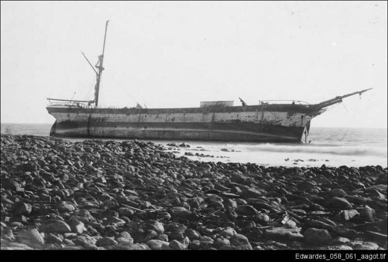
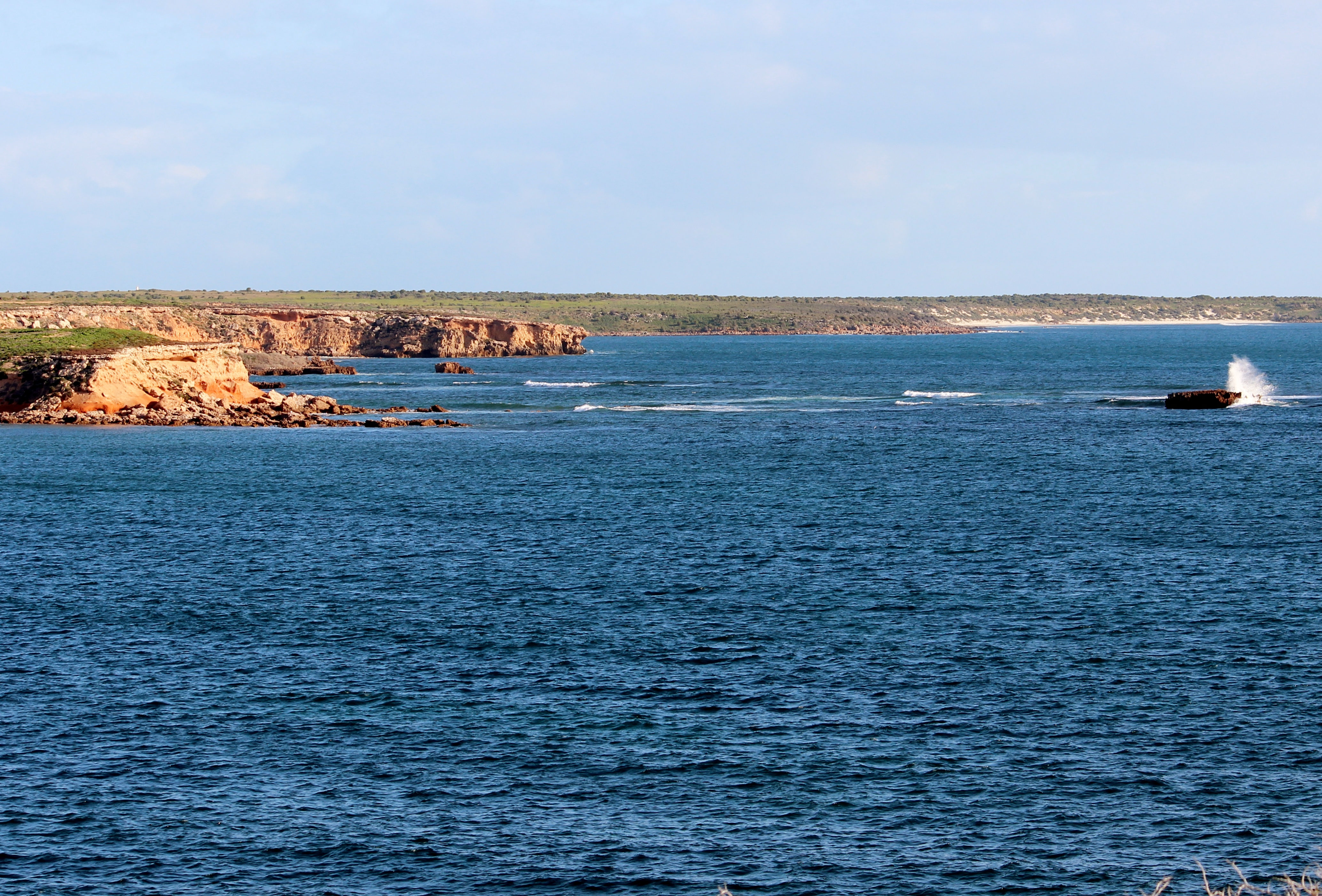
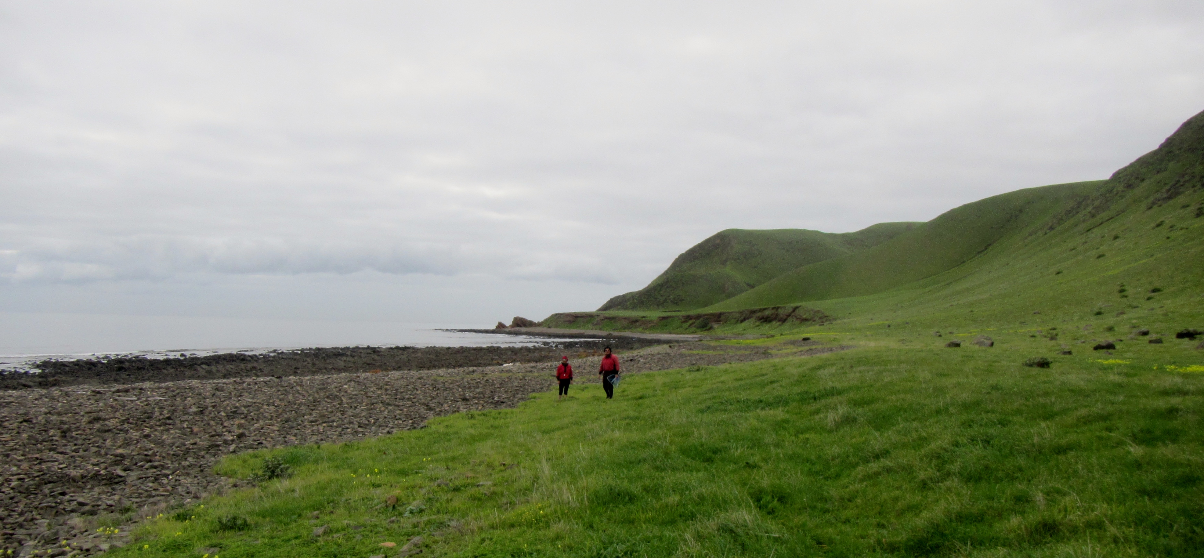
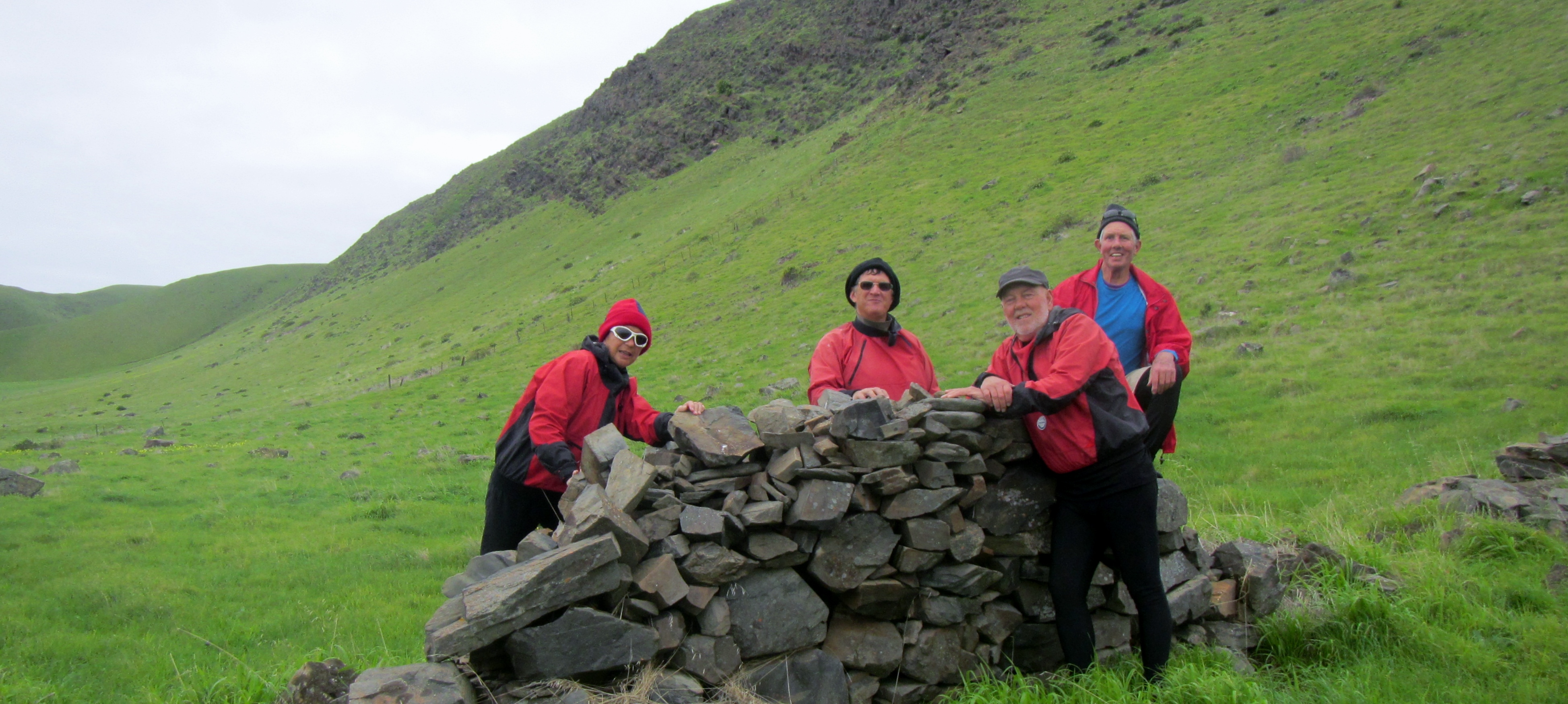
Wardang Goose Is 187 Few people visit this uninhabited island group and generally you will only encounter the occasional fishing boat. Wardang Goose Is 171 We however found numerous tracks of the local inhabitants. Wardang Goose Is 134 A walk over the rocky headland bought us to the wreck site and we could see that in a gale this coast would have been treacherous. Not surprisingly there are many ship wrecks on this coast as it is a low island group that can easily meld in with the mainland when viewed from sea. The island also didn’t have any navigation light until 1909 and even then various maps showed it in different places just to cause a little more confusion. This few kilometers of coastline has the remains of the ships, Aagot, Australian, Investigator, Notre Dame D ‘Arvor, Monarch and McIntyre.

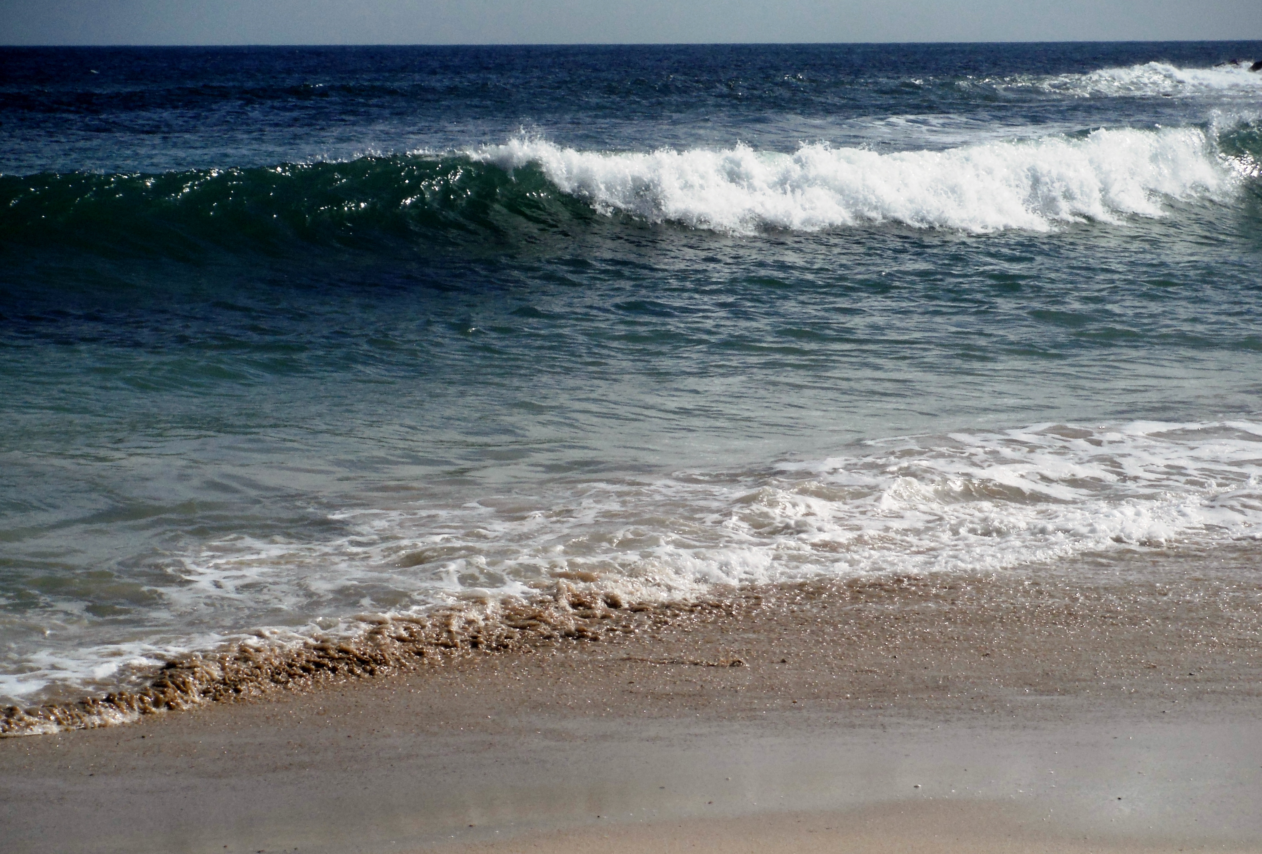
The Aagot anchors lay below these waves.

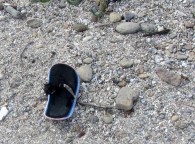
Wardang Goose Is 159 One strange thing about  beach combing the area was an abundance of right foot thongs washed up. Only right foot…never the left….what a strange phenomenon.
IMG_0656
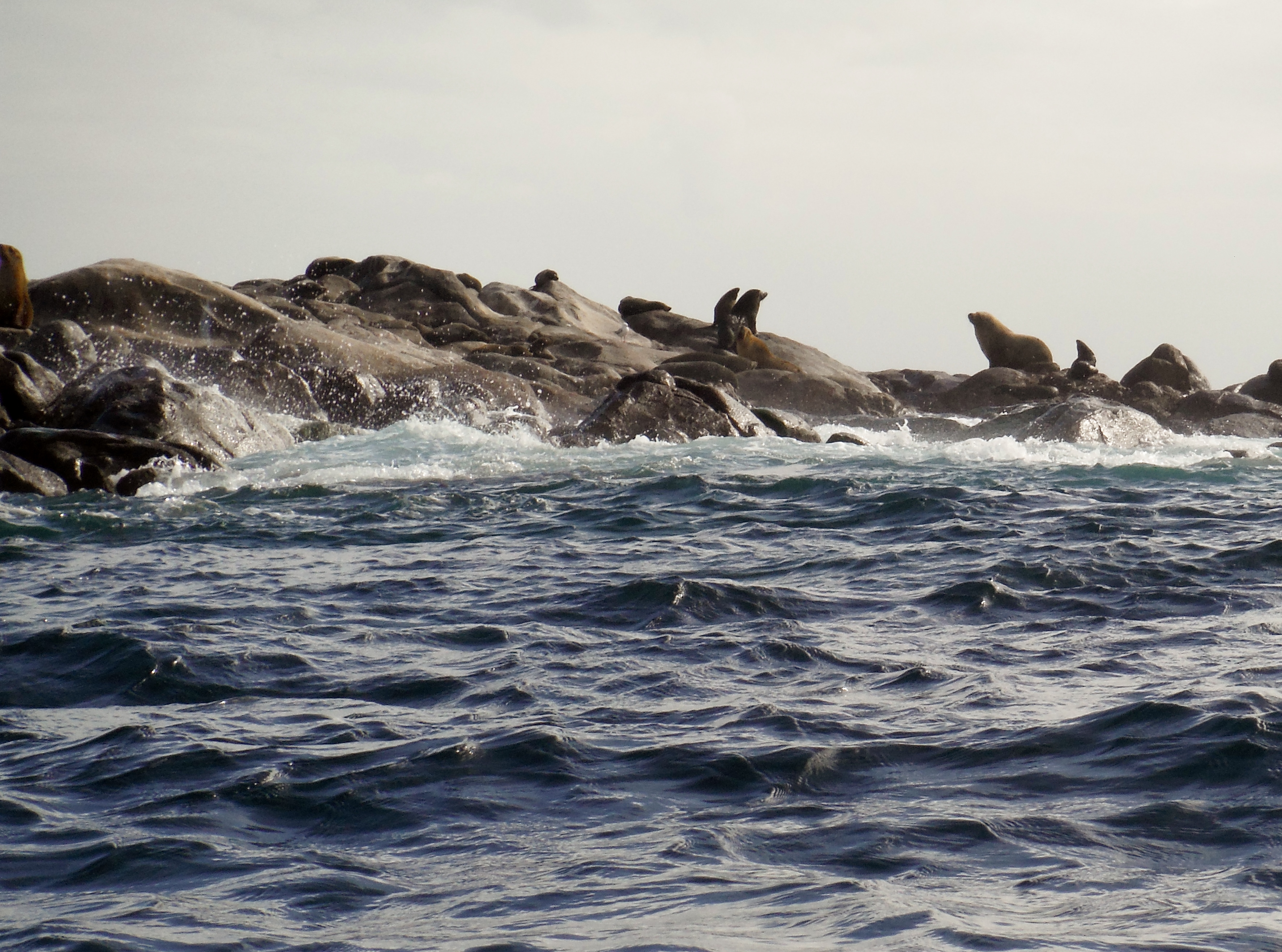
Our time exploring was cut short as the wind threatened to further increase off shore. We made a perfect departure from the protected beach timing our breakout perfectly to avoid the shore break. The run back to camp was fast and furious sliding down a following sea and occasional breaking waves to arrive at the protection of the north tip of the islands. The north tip is home to a colony of Sea Lions and a large number of Pied Cormorants who inhabit the rocky outcrops so it was relaxing to hide in the lee and enjoy the antics of the locals.

 

Wardang Goose Is 226 Wardang Goose Is 209 Wardang Goose Is 197 We had left our campsite guarded by a Peregrine Falcon who had taken up residence in an old radio tower. IMG_9922 We landed back at camp having had an interesting paddle and looking forward to the evening meal with celebratory red wine. Rodney had chosen an excellent Grant Burge Balthasar 2012 Shiraz and Grant Burge 2010 Corryton Cabernet Sauvignon and Robyn and I provided a lovely Eccolo Wines Sangiovese. The wines  and pre-dinner snacks were enjoyed with great gusto watching the sun set and the full moon rise. Wardang Goose Is 292 Next day we headed along the eastern coast of Wardang Island with thoughts of the Narungga people who had been travelling to Wardang Island long before the arrival of Europeans. The island could be accessed at low tide by wading out to Green Island and then swimming for  kilometres across a deep channel. People would sit on the shore and sing songs and wave branches to distract the sharks from swimmers. I started singing quite loudly when a fin appeared of the stern of the kayak but luckily it was only a dolphin.

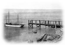
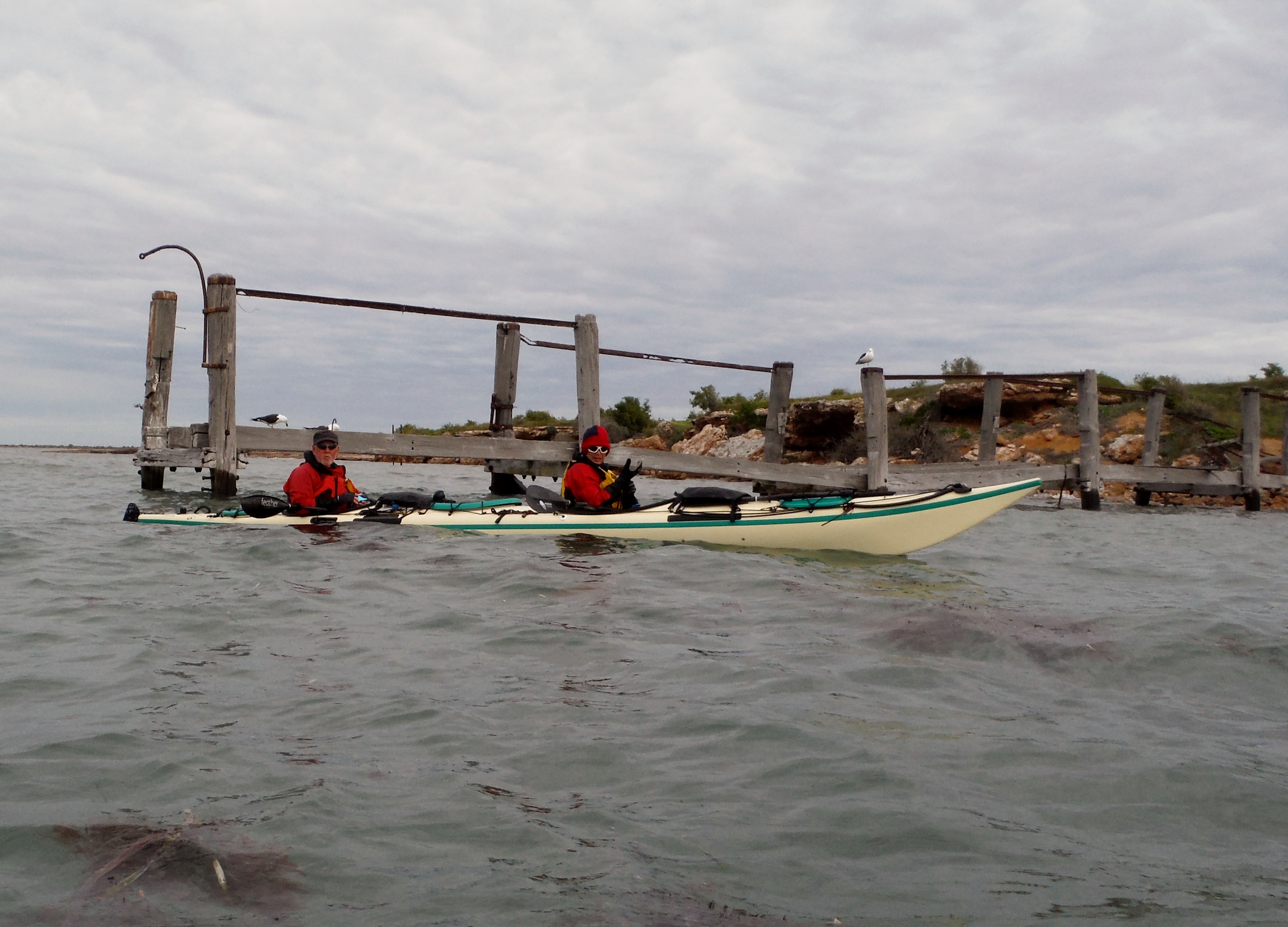
Mining of Lime Sand had begun on the island in 1910 and lasted for several years until easier  to access deposits were located. There are still remnants of the small community that was involved in mining and agriculture. The island was once stocked with sheep and large water tanks were constructed, living quarters, shearing sheds and other facilities were built. Several families stayed on the island to manage the stock and the children attended a small school. A barge was used to ferry materials and stock to and from the island and later a ketch, ‘the Narungga’, would move between the island and Dolly’s wharf. IMG_9908 The ketch “Narrunga”, shown here tied up at Dollys Wharf. narnarungga Little remains of Dollys Wharf these days. Wardang Goose Is 037 The last part of the paddle brought a few light rain showers indispersed with periods of bright sunshine and light winds. A fitting end to another great paddle. IMG_0711   …and a few extra photos from our trip.
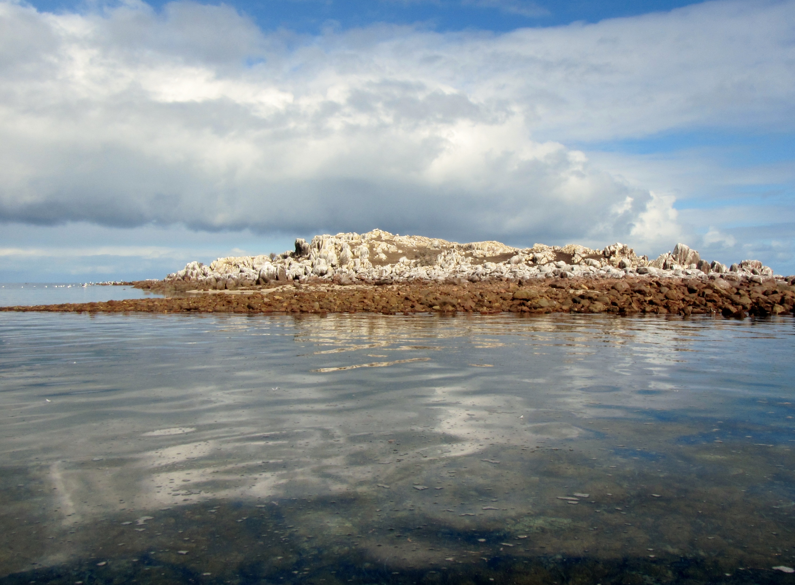
 

Thanks to Rodney for the photos, delicious snacks interesting wine and of course to Robyn for all other catering.

Ian, Robyn and Rodney. Paddling South …..where not everything goes to plan

The mysteries of Yoho beach

It happens every year. Somewhere between Friday the 13th and the Winter Solstice on 21st June we watch the weather patterns for the perfect day that will take us back to Yoho Beach. That type of day where the sky is just a  haze, sea the colour of ink and the horizon almost indistinguishable, is when we return to continue our research on Yoho Beach.

During summer we often paddle past Yoho beach, which lies in Gulf St Vincent just a few kilometers north of the gulf’s entrance at Cape Jervis. It’s a lovely place to paddle on a warm summer day, passing along the rock strewn coastline, looking at the abundant bird life and keeping an eye out for the local dolphin pods but the swells are rarely low enough to land. But in winter at the appointed time we return to continue our study of the mysteries of Yoho Beach.

We set off from Rapid Bay for the hop along the coastline passing the towering cliffs of Rapid Heads and enjoying the frolicking seals. The water is calm, dark and certainly deep as we round the headlands.

IMG_0555


IMG_0563


IMG_0573


IMG_0601

IMG_0604

Paddling along this area is always eventful, especially when you get in close to the cliffs and ride the surging waves as Michael soon found out.

IMG_0606

IMG_0607

After a while the Headlands of Yoho come into view, with the winter grasses blanketing the slopes.

IMG_0574

It’s an odd place, sort of eerie, a strangeness that creeps up on you every time you land there. You always feel like you are being watched by someone lurking on those bald rock strewn hills; but there is never anyone there. Like someone is looking over your shoulder when you wander along “beach combing” the area, but I’ve never met anyone else on the beach and know of only a few people who ever stop there to explore or enjoy lunch on the grassy slopes.

This year we bought with us “Professor” Rodney B.,  a newcomer to this area, who could hopefully cast more light on the strangeness of Yoho.

We carefully landed in the small channel and came ashore.

IMG_0598

IMG_0583

An ancient rock wall stands guard halfway along the beach, it’s purpose long lost and the people who built it long departed.

IMG_0584

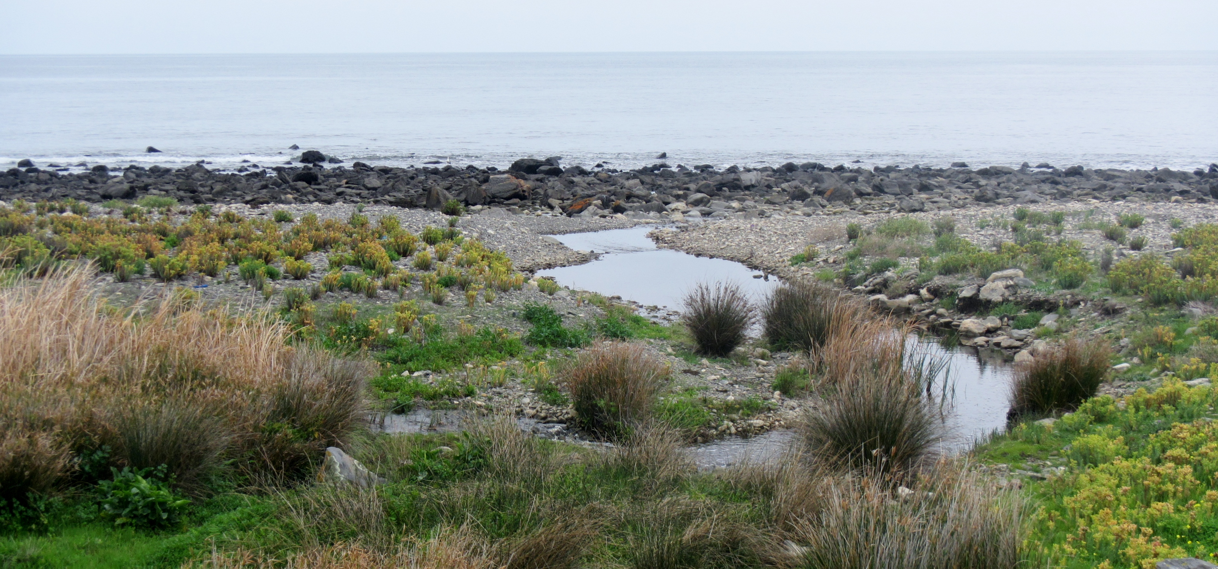
A small creek winds its’ way to the ocean making an excellent habitat for local fauna.

IMG_0591

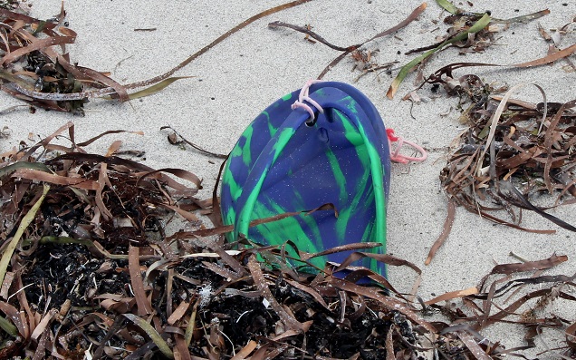
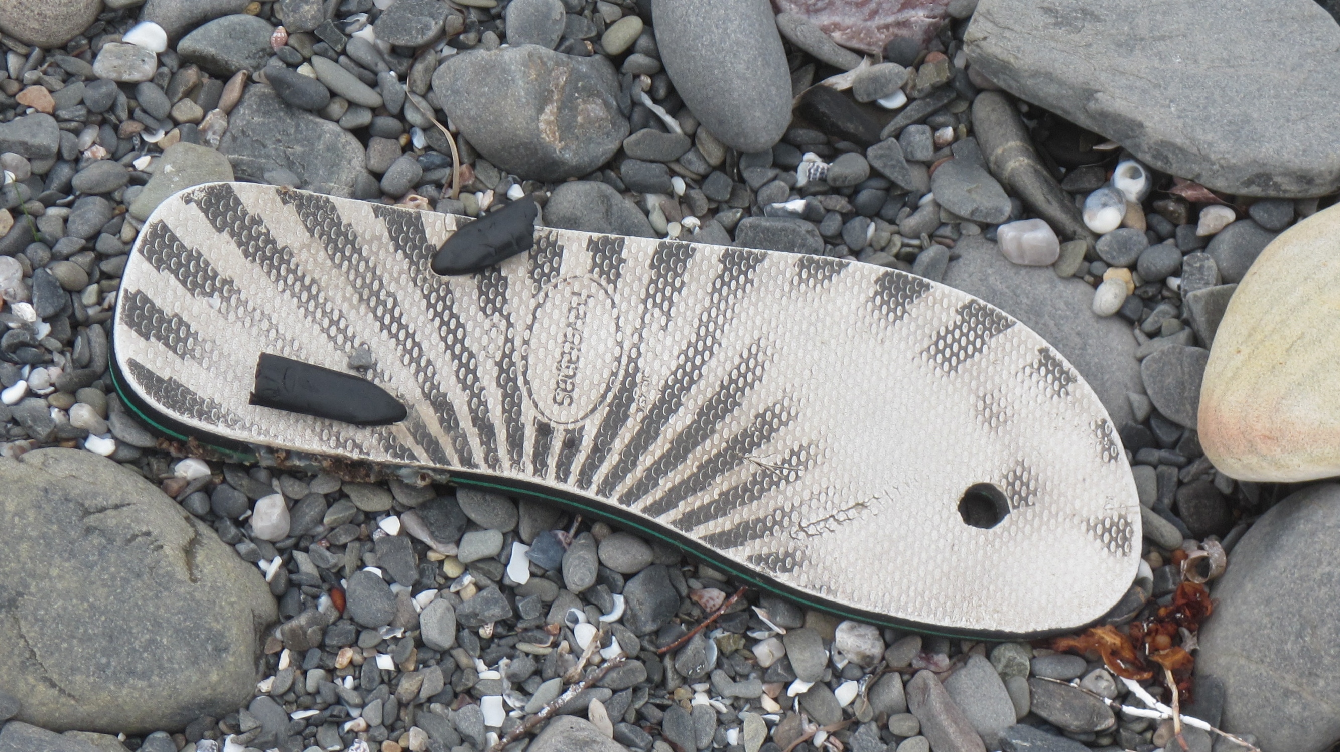
The first sign that something was different here was what we found when beachcombing. Left foot thongs. Never a right, only a left. Some people call them Flip-Flops others Sandals but in Australia they can only be Thongs. Over the years we found some with Asian branding, some with English, a few with German and Arabic, some near new, others with the imprint of the previous owner well worn into them. All sizes, all shapes, all left foot they magically came to be washed up on this lonely beach.

A colourful thong


IMG_0578

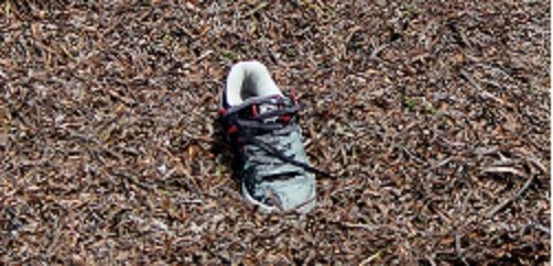
We kept returning over the years to see more thongs as well as a scattering of other shoe styles, still all left foot, and recently we have been coming across more  left foot Crocs wedged amongst the rocks.

washed up amongst the seaweed

washed up amongst the seaweed

IMG_8832

Lost and lonely

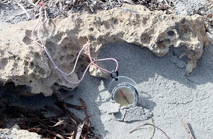
We have even picked up a compass, it was probably discarded as it too pointed Left.

IMG_6983

Pointing left of North

We often gathered with a nice bottle of McLaren Vale Shiraz and wondered about this place. We pored over tidal flow charts looking for answers and even started taking measurements in the area. We erected markers next to rocks so that they could be measured each year.

IMG_0597

Over the years we found that they too were wearing more on the left side than the right. The wind is also strange here, no matter which direction you turn it always comes from your Left.

Is it the unusual dodge tides that frequent the gulf that allow only left footwear to come ashore and why not the right as well ?. Is it the high pressure cells that pass through over summer, rotating in an anticlockwise direction ?.  Is it a stranger phenomenon, something that we don’t understand about this lonely beach ?.

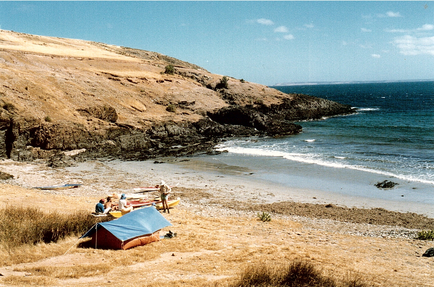
Recently I was sorting some old camera equipment and saw my old Minolta waterproof camera that I had used in the 1980’s and when I found it still had film I decided to have it processed. The pictures were of sea kayaking and camping  near that beach.

An early visit to the area. camped on a rocky beach near Yoho.

An early visit to the area. camped on a rocky beach near Yoho.

And then there it was.  Maybe the answer to the riddle of Yoho beach partly hidden in the trees.

The Spaceship perched above the nearby beach

The Spaceship perched above the nearby beach

Was it the arrival of the spaceship, perhaps spinning anti-clockwise that created that Left vortex that is still there today?. I’m not sure that we will really ever know the answer but it sure makes a good reason to paddle along the rugged coastline, stop for some beach-combing and maybe even lookout for that spaceship 🙂

Ian, Robyn, Michael and “Professor”Rodney B.
Paddlingsouth

Metric madness

We have been visiting Memory Cove in the Pt Lincoln National Park again. This is certainly one of my favourite places to spend a few days, either kayaking along the coast or if it’s too rough, spending time exploring the area by Mountain Bike. The park consists mainly of Sheoak and Eucalyptus woodland with a number of species being represented. The sandy beaches are unspoilt and the sheer cliffs and granite outcrops along the coast make for stunning paddling and the opportunity to see Southern Right Whales in winter.

P1060768 (1024x767)

bikes

This is a place that has remained much the same since the days of Whaling in the early 1800’s, when whalers who were based at nearby Spalding Cove and Thistle Island pulled into this cove. They established a “mailbox” among the rocks on the southern end of the cove, where letters and messages were left for other passing vessels to collect and deliver to the township of Port Lincoln.

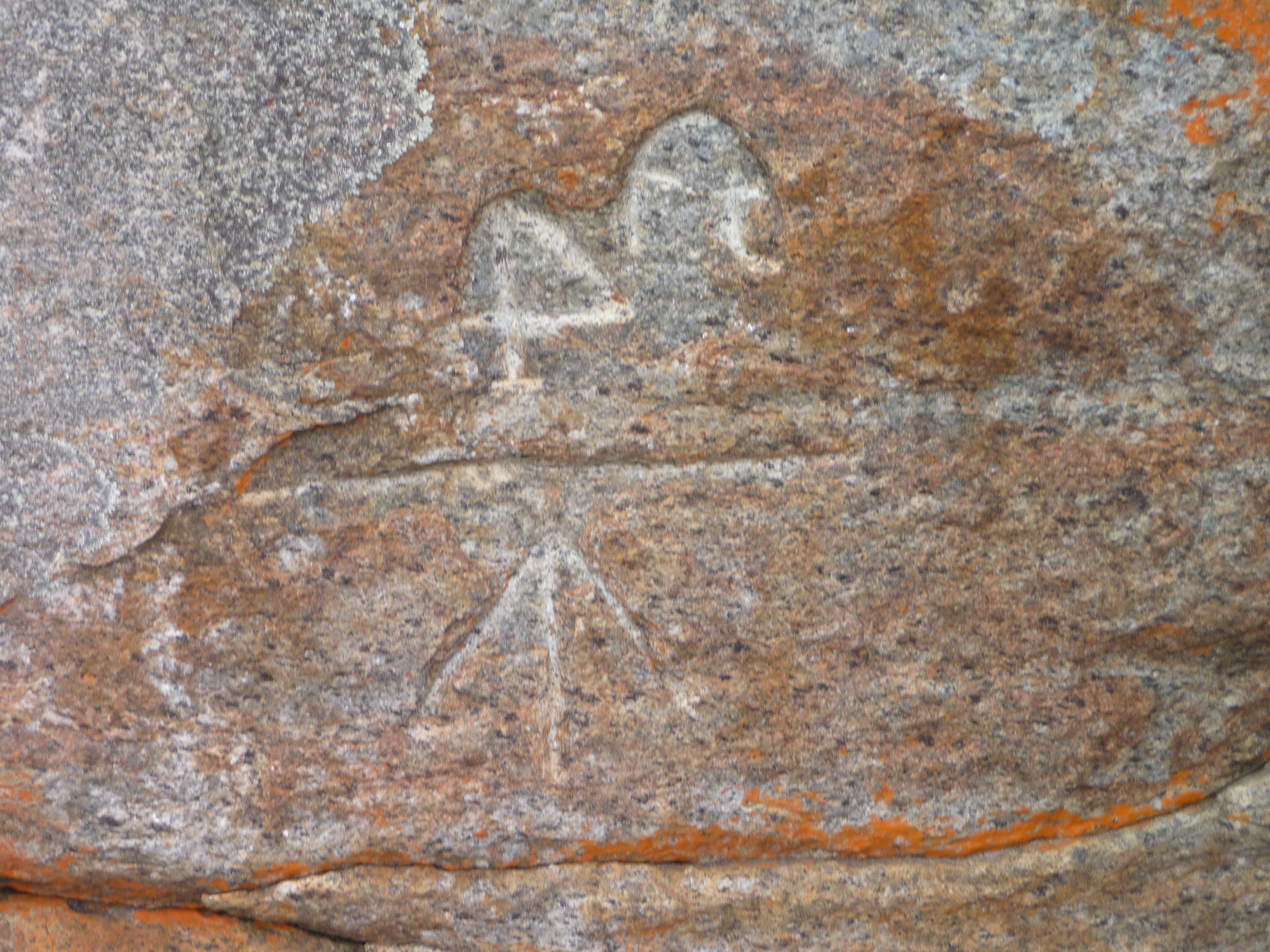
The letterbox is marked by an inscription in the rock, 4 ft and a direction arrow, meaning look 4 foot above this mark.

Mailbox

Now Australian currency was metricated in 1966 from pounds and pence to dollars and cents and distances gradually changed from feet and inches to metres and centimetres but I’m sure Whalers were still in the old ways.

However if you read the Department of Environment brochure  on Memory Cove the letterbox has moved somewhat to 1.2m Λ, changing to metric measures. Maybe the job of “proof reader” has been abolished with the job of “Whaler” but I certainly think it’s just a case of Metric Madness. 🙂

Cheers
Ian Pope
Still Paddling South….

122303


Rocky Islands paddle

We continued our journey along the South Australian coastline staying overnight at Mambray Creek campsite. A short walk in the morning meant a meeting with some of the local wildlife.

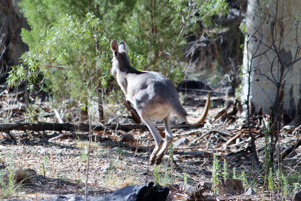
A number of kangaroos bounded across the track…..IMG_5601

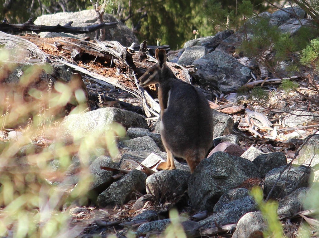
and then we spotted a rarely seen Yellow Footed Rock Wallaby watching us from a safe distance.

IMG_5640

A goanna about 2m long strolled past

P1170440

and had a good look at Matt and Kathrin.

P1170450

Kookaburras watched us from the gumtrees and had a bit of a laugh.

IMG_4339

Later we packed up camp, finished our drive to the launching point and prepared the kayaks for a paddle 9km offshore to visit some small rocky islands and the White Rocks Sea Lion colony. As we left the protection of the bay the headwind increased to above 15 knots making for a rather wet paddle.

P1020267

We punched into the head winds for a few kilometres before sheltering from the wind at a low rocky Island. Our efforts were rewarded as we watched the Pelican chicks being fed by their parents, although being downwind from the colony made for an interesting aroma to accompany my energy bar snack.

The colony was quite busy with the Spectacled Pelicans rearing young as well as large numbers of Pied Cormorants nesting nearby.G1

The young chicks were estimated to be around 30-45 days old with their feathers not yet fully developed.G3

Paddling another few kilometres we reached the protected side of the outer islands and hugged the coastline until reaching a remote sheltered bay where we camped for a couple of days.G4

At about his time the Lumix waterproof camera decided to stop working and we discovered that I had left the battery for the spare Canon waterproof in the car. So Matt and Kathrin’s encounter with 30 or so sea lions at White Rocks went unrecorded.

They had paddled out to the Sea Lion colony late in the afternoon and were rewarded by a group of 30 Sea Lions coming into the water to investigate them. They swam and jumped around the kayak, dived under it and generally made friends. The video would have been awesome !!

But we did get some nice photos of Matt’s attempt at hopscotch and the hazy sunset.

G7

G10

Our return journey to the mainland a couple of days later, started soon after dawn to race an approaching weather front. We paddled the last hour of the trip with the wind gusting well over 25 knots beam on, making it quite an interesting paddle. Again I was happy to be paddling the Seaward Passat G3 double which gave us a very controlled and mostly dry ride.

Surf kayak review–Jackson FUN

I eventually finished a more formal review of the Jackson FUN having paddling it as a surf kayak for over 4 months now. Initially it took some time to get used to, as it is much looser than surf kayaks that I have been into for years. It was like returning to my origins in surf kayaking when we paddled any kayak in the surf, not what was specifically designed for ocean wave surfing. See my first paddle comments here.

IMG_3291    Easy take-off   Fun on small reef break waves

The beginners perspective.
If you are just starting out in surf kayaking this kayak is a really a winner. It is stable and easy to get out through the break with reasonable directional stability for a playboat. When paddling out through broken waves the FUN maintained stability and allowed you to lift up and over the white water simply by leaning back to raise the bow.

On a wave the the FUN was easy to get into the wave take-off area and quite predictable when dropping down a steep face. The beginners who paddled the FUN started off on smaller waves to get the feel of the kayak but were soon confident on larger waves. The kayak has a flat, planing hull design meaning that aggressive leans or stern rudder strokes may cause the stern to break loose. An unintentional 180 degree spin into a back surf is a little disconcerting for beginners but soon most paddlers have it under control.

Intermediate perspective
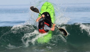
The Fun is just that, a lot of fun. The comfortable cockpit and easily adjusted outfitting means paddlers are happy to stay out for hours, pulling 360 spins, backsurfs, cartwheels (intentional and unintentional)  and generally having a great time.

This playboat is easy to handle and allows you to try lots of manoeuvres with confidence and when it doesn’t work the FUN is easy to roll. As with most playboats the low volume stern and bow allow ease of manoeuvring, however you still need to drive this kayak or it will break loose on larger wave faces.

top turn and over     Nice top turns

Comparison to specialised surf kayaks

It really does come down to what you want to achieve in surf kayaking. If you are looking for a kayak that equals a surfboard or wave ski then you need to look at the specialised craft. This is a white water playboat being used in the surf and is an excellent craft for playing in waves and having fun. Just a fantastic kayak to paddle when the surf is not so good and you’re looking for a way to have fun and get wet.

Jackson Kayak Specs.
Length 2.03m     Width 68 cm     Volume 238 litres     Capacity 75-100 kg

Paddler 1
Height   170cm
Weight   90 kg (or more after Easter)
Experience  Many years paddling sea kayaks and surf kayaks

Great Fun kayak. A great change from more specialist surf kayaks but especially good when surf was smaller allowing me to still have fun on manoeuvres like 360 spins, catwheels and backsurfs not possible with other surf kayak.

Pros
Loved the ease of adjustment on the backrest and the Happy Feet footrests.
Lots of fun to be had even when the surfs not so good.

Cons
Backrest cords are a bit of a pain dangling on my legs, but I would soon fix that.

Conclusion
Lots of FUN. Very comfortable outfitting and would recommend to anyone.

Paddler 2
Height 175 cm
Weight 76 kg
Experience  Beginner in playboats and surf kayaks

Had great fun every time I paddled out. Started on smaller waves and soon got the hang of the FUN. I was able to get some nice waves and 360 spins as well great slides down larger green wave faces. Thoroughly recommended as a great FUN kayak.

Pros
Very predictable and forgiving handling when the wave closed out on me.  It is easy to roll which gave me confidence to go for bigger waves or faster manoeuvres. Loved the easy adjustment on the backrest making it easy to do a quick launch, paddle out and then tighten backrest.

Cons
I would put some sort of grab loop on the rear handle as it was hard to hold onto as I climbed over rocks to get back up the beach.

Conclusion
Very impressed with this kayak in the surf. Just lots of FUN and will definitely be looking to purchase.

Dolphins and sea lions

On the road again, this time with Matt and Kathrin who are visiting from Germany. Loaded with 2 double sea kayaks we travelled towards the west coast of South Australia in temperatures above 40 degrees C.

The  trip plan was to spend time in remote locations, paddle the coastline, swim with dolphins and sea lions, see lots of Australia’s wildlife and enjoy a few red wines along the way.Bus stop

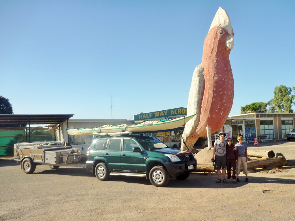
Passing through Kimba, know as the town “halfway across Australia” or “middle of nowhere” you just have to have a photo taken in front of the “Big Gala”.Huge flocks of these noisy birds are common in this area.

Big Gala

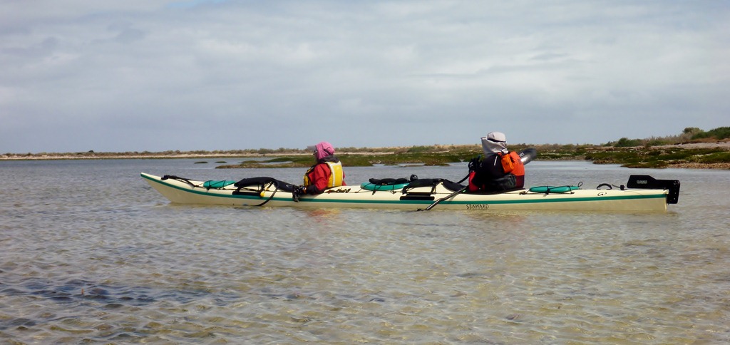
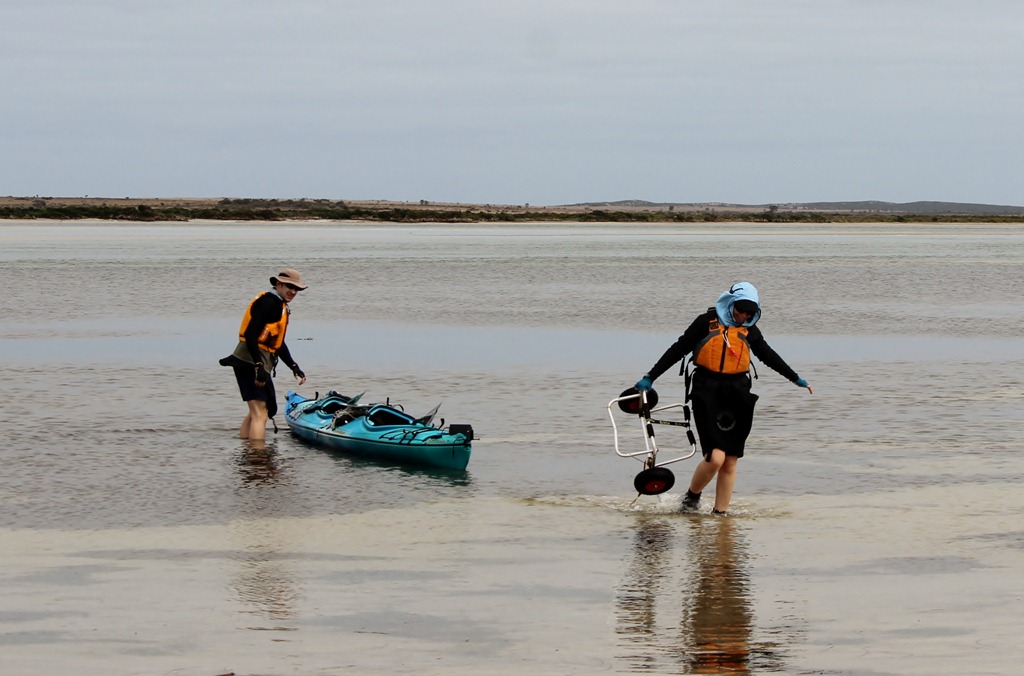
After two days travelling, we set up camp and Matt and Kathrin enjoyed a relaxing 18km paddle in a shallow protected bay, to check out their borrowed kayak..

Launchig BB.

Next day was Dolphin Day when we swam with a large pod of dolphins and then spent time frolicking with Sea Lions. It sounds easy to film a pod of wild dolphins but the reality was far from that. They were in turbid water and were either going too fast to film or too close to get anything more than a fin in the frame. Still it was a fantastic experience to swim with the wild pod, Although the visibility wasn’t the best we managed to get some photos and video.
The sea lions of course were much easier to film as they played with us however only a few of them seemed interested in our games.