The Second Valley- kayak Second Valley to Rapid Heads

I don’t actually remember the first time I paddled into the Second Valley. It must have been in the very late 1970’s as I have found photos of our expeditions further south at Cape Jervis in 1984. Luckily “ The Valley” viewed from the sea has  changed  little in that time. Ron Blum, long time resident of the township, published  “The history of Second Valley” in 1985 and I remember kayaking with him around that time. We both went on to paddle kayak marathons together especially the Murray 400km and Murray 200km races. Ron is still active in the Marathon Canoe Club  and a link to his achievements is here. (I was the club’s first secretary)

I have been asked several times recently about paddling the area, so it was here that I decided to start a month or so of paddling along the coastline of South Australia, hoping for some interesting photos. Second Valley on the Fleurieu Peninsula is 100km south of Adelaide, the State’s capital, and has become a regular haunt for sea kayakers and scuba divers.

Scene-near-Rapid-Bay-George-French-Angas-1847.jpgThe image above was by George French Angas in 1847 depicting local Aborigines fishing at Second Valley. Not a lot has changed as you can stand at the small jetty and easily see the features from the painting.

Our idea was to launch at Second Valley, paddle along the rugged coastline, past Rapid Bay and onto Rapid Heads where we often found New Zealand Fur Seals, Sea Lions and Dolphins.  The small beach is an easy launching spot although it can be crowded with locals cooling their heels on a hot summers day. We set off around 9am to miss the predicted scorching 43 degree heat of the day and also avoided any crowds. We call any more than 3 people a crowd !!!
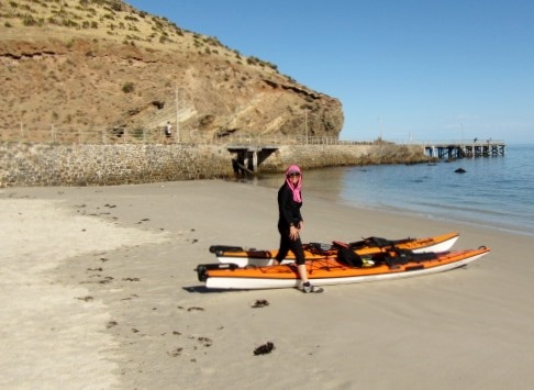
Ready to launch at Second Valley beach

Ready to launch at Second Valley beach

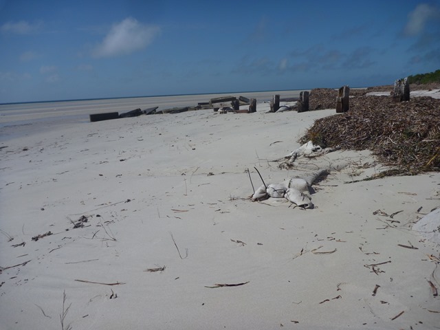
The last of the fishing village heritage disappeared with the removal of the tumble down boat sheds from the headland in 2009, however you can still see some of the foundations and the old launching winch.

Robyn passes the remains of the old fishing sheds and launching winch

Robyn passes the remains of the old fishing sheds and launching winch

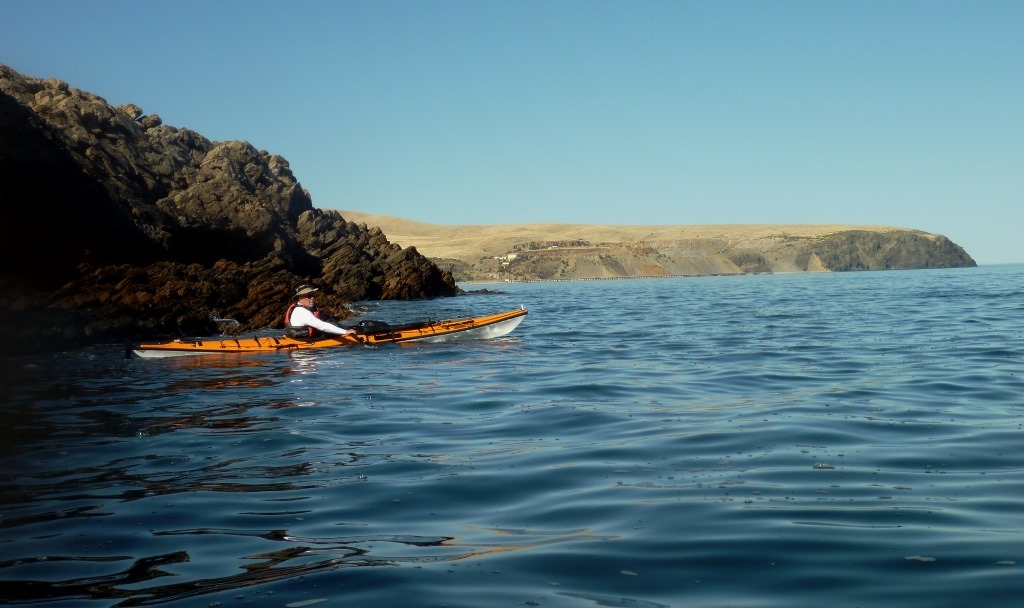
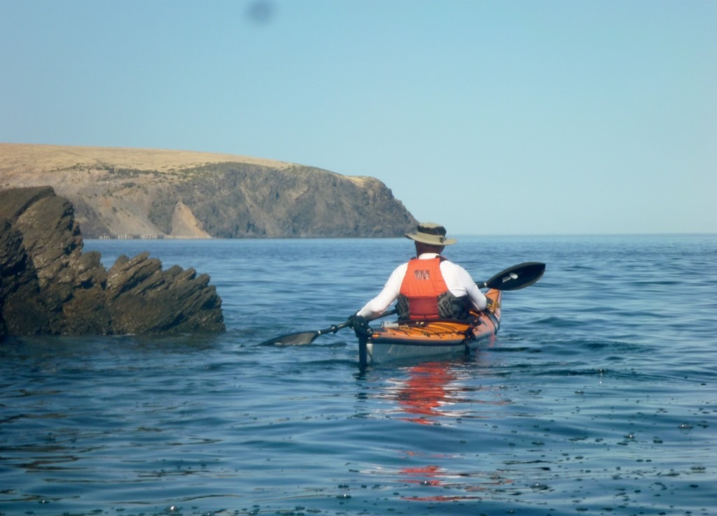
After rounding the rocks on the outer of the bay you get a view of what’s to come.  You can see Rapid Bay just a couple of kilometres away with Rapid Headland in the distance. Few people venture far around the coast so often you will have the place to yourself as we did.
P1020392-1024x608.jpg

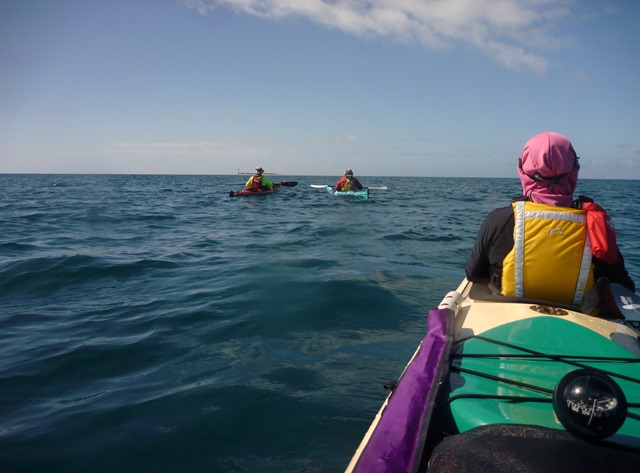
Heading towards Rapid Heads

Heading towards Rapid Heads

Not far along you come to the Second Valley sea cave. Its not huge but just big enough to get a couple of sea kayaks in there. At one time we had 6 kayaks in at once but it was very squeezy. Robyn waited at the entrance as I explored the cave, taking a couple of minutes for my eyes to adjust to the darkness. The cave entrance is easy to navigate however care should be taken when there is a SW swell evident.

Taking in the view along the rugged coastline

Taking in the view along the rugged coastline

Once in the cave it was easy to turn around and find Robyn taking a photo at the entrance.

Paddling out of the cave I found Robyn taking photos

Paddling out of the cave I found Robyn taking photos

Further on there are other small grottos to explore and lots of spectacular rock formations…….
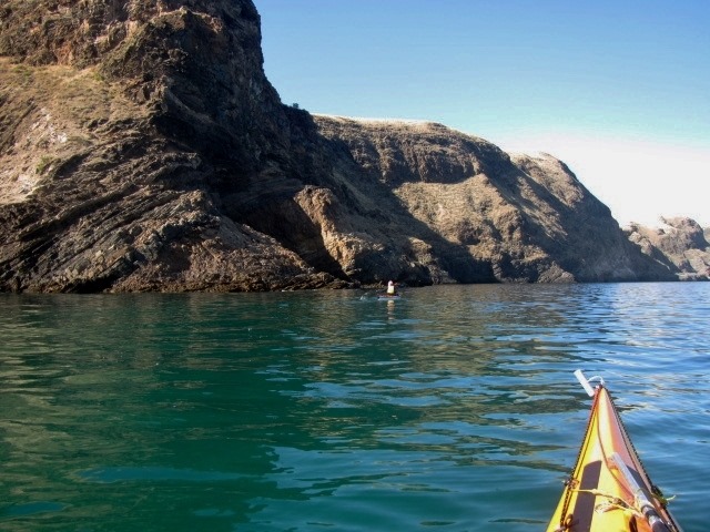
Paddling along the ancient coastline

Paddling along the ancient coastline


Another fissure to explore

Another fissure to explore


Ian exploring one of the small grottos in the cliff

Ian exploring one of the small grottos in the cliff

…..and a couple of secluded beaches which we would visit later for a relaxing swim.

One of the many small secluded beaches

One of the many small secluded beaches

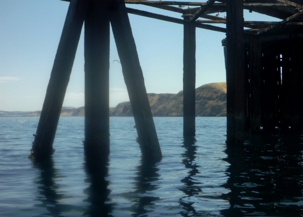
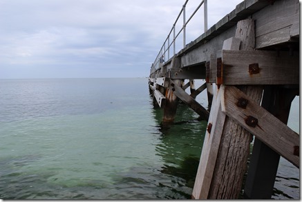
Further on you can make out the Rapid Bay jetties. The larger structure was used as a loading wharf when BHP was mining in this area. The jetty has now fallen into disrepair but is a haven for fish life. A smaller jetty was built near it for recreational fisherman and scuba divers.

P1020419-1024x731.jpg

The structure also makes for some interesting photos.
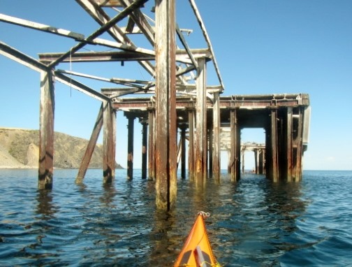
IMG_0386-504x382.jpg

Looking towards Second Valley

Looking towards Second Valley

After passing Rapid Heads, where there is often a confused sea around the bommies, we found the seals playground. Today there were only a few New Zealand Fur Seals lolling about, but often there are also Australian Sea Lions in residence. The Pied Cormorants seems always to be here in reasonable numbers and the trick is not to disturb them lest they decide to take off in a hurry, necessitating the empyting of their bowels. Not a pretty site splatting across the deck of your kayak, or you (always wear a hat !!).
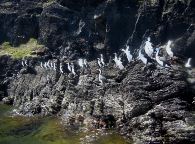
Pied Cormorants, commonly called Shags all ready for take-off

Pied Cormorants, commonly called Shags all ready for take-off

We met up with all the usual suspects. NZ fur seals bobbing around the bow of the kayak and dolphins speeding past on their way south.
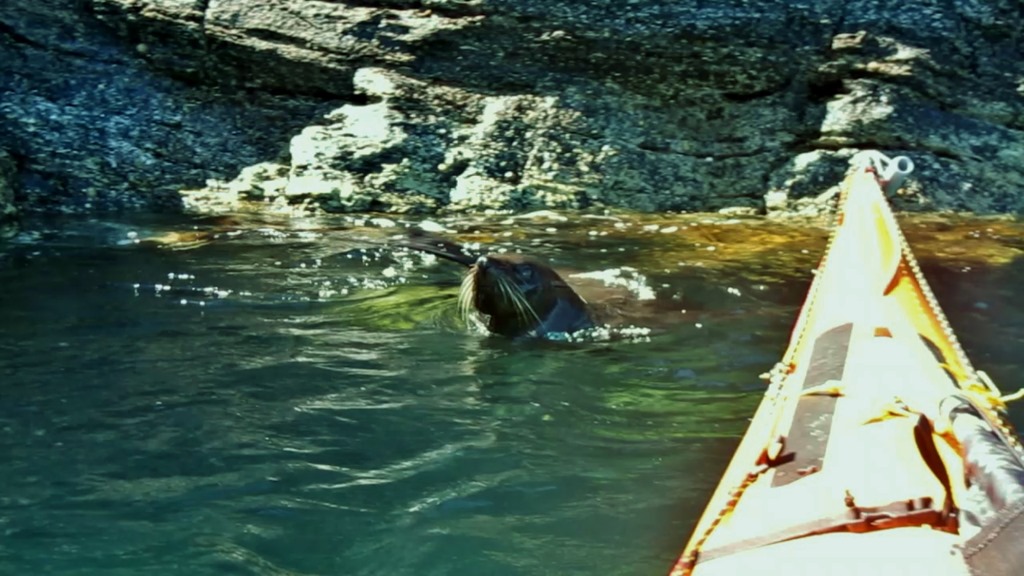
Suddenly there was a set of whiskers on my bow
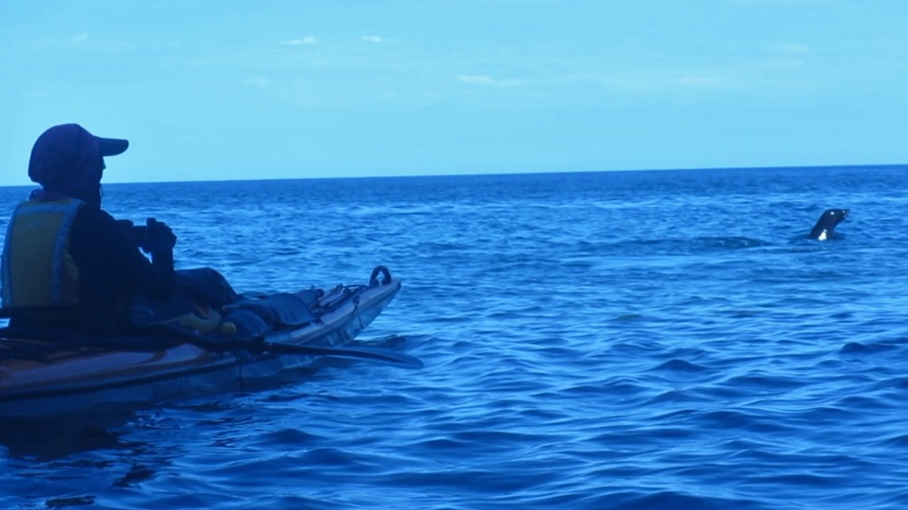
Suddenly there was a set of whiskers on my bow


Robyn is visited by an inquisitive seal

Robyn is visited by an inquisitive seal

Second Valley and Rapid Bay areas offer lots to the sea kayaker and the whole day trip is only 12 km or so, allowing plenty of time to explore or have a relaxing lunch on one of the secluded beaches.

Googs Track 2013

It’s been a windy Spring this year with cooler temperatures restricting our paddling activities to local day paddles. Certainly some nice paddles along the local coast with bumpy conditions and often a following sea to make it more fun, but nothing interesting enough for a story.

With the need to get our feet wet and some sand between our toes we joined up with Malcolm and Annie for an exciting trip around the west coast of South Australia.

We started by dipping our toes in the Southern Ocean on a nice 41° C November day, so that took care of the wet feet part.

IMG_0238 (2)

And now for the sand between the toes.

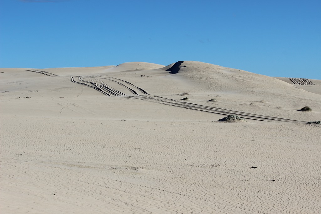
Luckily for us Malcolm and Annie are experienced “bush travellers” and were going to take us across the Googs Track which runs roughly 220 kilometers of 4wd track traversing part of the Yellabinna Conservation Park. It runs north south from the dingo proof fence north of Lone Oak, 40 km north of Ceduna, to Tarcoola on the East-West railway line traversing over 363 sand dunes.  The idea was to follow the track to the railway line, then east to Tarcoola, look around the mainly deserted town and then head for the thriving metropolis of Glendambo for fuel. Mal and Annie would have enough diesel to get through but our petrol Toyota Prado would need to carry extra jerry cans.
Malcolm and Annie also carried most of the heavier rescue equipment that we would probably need to get the Prado up and over the dunes.

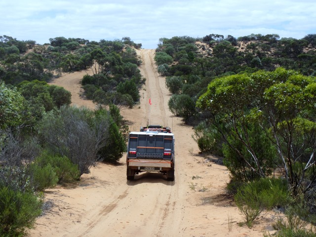
This is desert country, dominated by scrub and hot sand dunes, so it quite unusual to arrive at the top of the first sand dune in light rain.

IMG_0253.jpg

It wasn’t long before the sand claimed its first victim with us bogged on the crest of a dune. There had been strong winds recently and deep sand drifts had formed on the crests. Out with the shovel and recovery gear for the first time.

IMG_0257.jpg

We soon got into the rhythm of the day, following Mal and Annie up and over the dunes, admiring the view from the crests.

IMG_0293.jpg

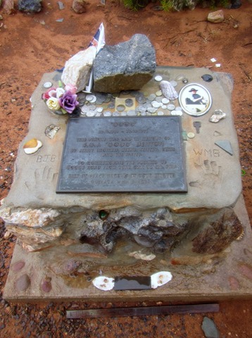
Googs Track across the dunes was completed in 1976 and you can see the history of the track here.  The memorial to track builders Goog and Dinger was an unusual place with tributes left around the plaque.

IMG_0262.jpg

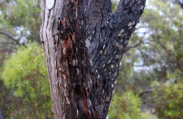
We followed the custom by wedging a coin into the money tree at the memorial.

IMG_0266.jpg

IMG_7667.jpgNot everything is sand and scrub and although we were not in prime time for wildflowers there was plenty of colour along the way.

IMG_0295.jpg

It was great viewing at the top of each dune giving us an idea of what was to come. Sand Dunes for as far as you could see in all directions.

IMG_0299.jpg

We camped on the banks of Googs Lake, normally a dry salt pan but now rapidly filling with a few centimetres of water from the rain.

IMG_0272.jpg

IMG_6833.jpg

Again it was a learning session with Malcolm whose knowledge and ability with a camera far exceeds mine and the changing lake was a great place to learnIMG_6844.jpg

IMG_6845.jpg

IMG_6846.jpg

We awoke the next morning to find evidence of Dingos nearby.

IMG_0304.jpg

We continued on over the dunes with the normal daily activities.

IMG_7669.jpg

IMG_7799.jpg

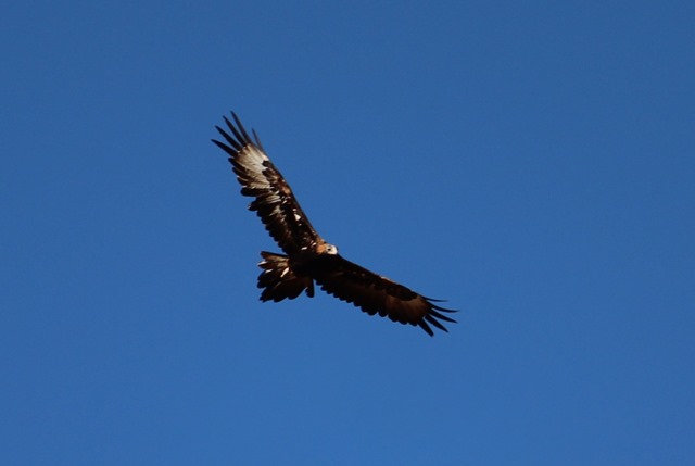
The Wedge Tailed eagles circling overhead were also thinking about lunch.

IMG_8005.jpg

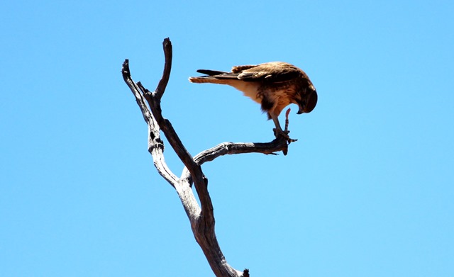
At least we provided some entertainment for the Sand Goannas and other lizards, whilst a Hawk continued his lunch nearby.

IMG_7760.jpg

IMG_7754.jpg

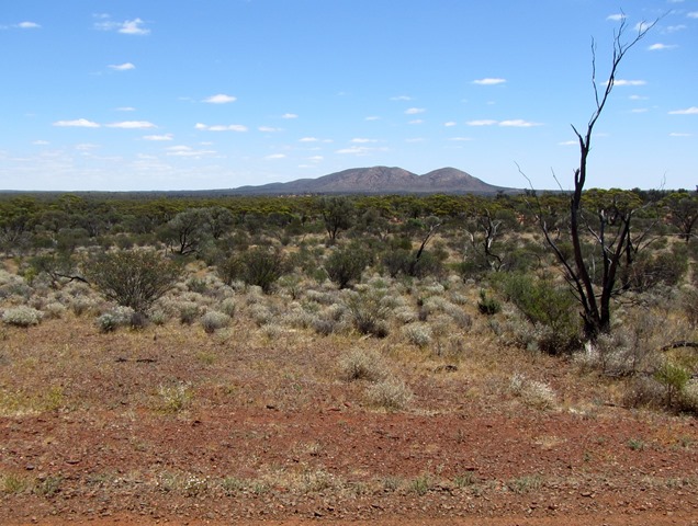
Onwards towards Mt Finke looming in the distance……

IMG_0323.jpg

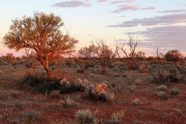
and the last light of the day celebrated with a cold beer.

IMG_6886.jpg

We detoured to visit Mt Finke and camped at Finke Lake claypan.

IMG_6853.jpg

Next day the track was less sand dunes and a lot more meandering through the scrub and in the afternoon we reached the Transcontinental Railway line.

IMG_6871.jpg

IMG_6868.jpg

We travelled to the “almost” ghost town of Tarcoola and did a little fossicking around the old buildings and mine site.

IMG_6874.jpg

Amongst other thinks Malcolm found the remnants of a 47-year-old newspaper blown against one of the buildings.

IMG_6884.jpg

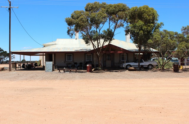
Next day found us in Kingoonya and we just had to stop for a lunch time beer on the hotel verandah. There seems to be only 2 inhabited houses and the hotel left in the town.

IMG_6900.jpg

The petrol station hasn’t been open for a long time and now the local Aboriginal Community has a self-serve pump behind the hotel.

IMG_7961.jpg

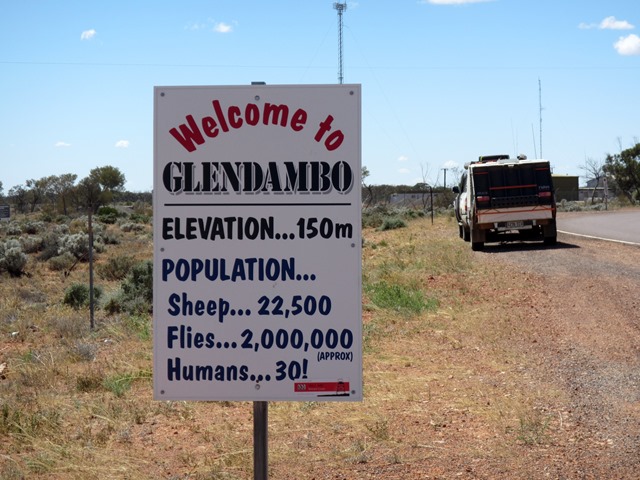
Next stop on the track was Glendambo, just 40 km or so away.

IMG_6903.jpg

Glendambo. I think the sign says it all.

IMG_0329.jpg

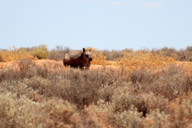
Robyn spent time talking to one of the locals, a very large hairy Nosed Wombat……

IMG_7967.jpg

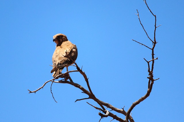
watched closely by the local Hawks.

IMG_7973.jpgWe continued the trip along a few hundred kilometres of bone jarring corrugated tracks to get to the Gawler Ranges where we explored the rock formations in the valleys.

IMG_6915.jpgA great trip to some hard to access country and well worth the effort.

Ian and Robyn

Picnic Island – kayaking day trip

The spring weather has come at last and we seized a few days away to do some day paddles along the coast of Yorke Peninsula. The usual suspects were rounded up and we met at Edithburgh, a town that we have visited before. Our previous trip are here  and here

Edithburgh was a busy port in the past but now it’s more a place for relaxation and fishing from the jetty.

IMG_6742_thumb.jpg

Over dinner, talk somehow touched on the question of “what food would you take to a deserted island”. Everyone came up with their ideas and the nearest deserted island was easily located a cruisey 9km offshore.

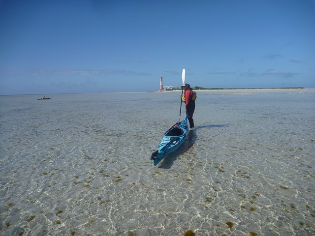
Next morning we set off to our picnic on deserted Troubridge Island, a low sandy island and lighthouse.

P1020376.jpg

We were loaded with our picnic fare of Adelaide hills blue cheese, wafer crackers, McLaren Vale kalamata olives, garlic fetta, local crusty bread, hommos with caramelised onions, Paris Creek camembert and of course strawberry jam sandwiches for Michael.

Our arrival was greeted by a number of black swans gliding in the shallows.

P1020381.jpg

The shallow waters surrounding the sandy island were crystal clear and we could see crabs scurrying about.

OLYMPUS DIGITAL CAMERA

Michael decided to investigate the shallows

P1020384.jpg

While Robyn dragged the Passat G3 double kayak ashore (Ian was busy taking photos)

P1020386.jpg

The low tide and recent storms have uncovered some of the old wharf.

P1020389.jpg

The kayaks were stranded on the sandbar as the tide ebbed away.

P9220436.jpg

Our picnic lunch was had in bright sunshine sitting on the base of the lighthouse, waiting for the flood tide to lift our kayaks off the sandbar.

As is the custom we always enjoy the food and  wine of south Australia, this time choosing a superb bottle of Etruscan from Koltz Wines at Blewett Springs. We decided the wine wouldn’t travel well in the hatch of a hot kayak, so we decanted it ready for the nights’ barbecue.  (the bottle in the photo was a nice touch !!)  See our wine review at the bottom of the page.

P9220443.jpg

The next few days were spent doing day trips along the coast around Troubridge Hill aquatic reserve

IMG_6773.jpg

IMG_6787.jpg

and landing on deserted beaches

IMG_6784.jpg

Our Wine of the Week

2011 Koltz Etruscan     $25 per bottle.
Chosen by Ian after recently catching up with winemaker Mark Day and visiting the winery.  This wine is a  distinctive blending of varieties that we were eager to sample. Check out the winery here

The 2011 Etruscan is 80% Sangiovese , 10% Sagrantino and 10% Shiraz, grown in vineyards  in Blewitt Springs and  McLaren Vale. It is fermented in 1 tonne open fermenters and the majority of the wine undergoes extended maceration for up to 35 days. Then basket pressed and transferred to French oak barrels.

The Etruscan smells of red berry fruits and the Sangiovese is dominant on the palate. A great wine to drink with food and highly recommended by our tasters. – ” definitely value for money against many other wines of the region”

Seascapes and Sculptures

I’ve always been fascinated by seascapes and visiting new areas has been a great part of my enjoyment of sea kayaking. The Great Australian Bight certainly gives plenty to appreciate and here is just a small taste.

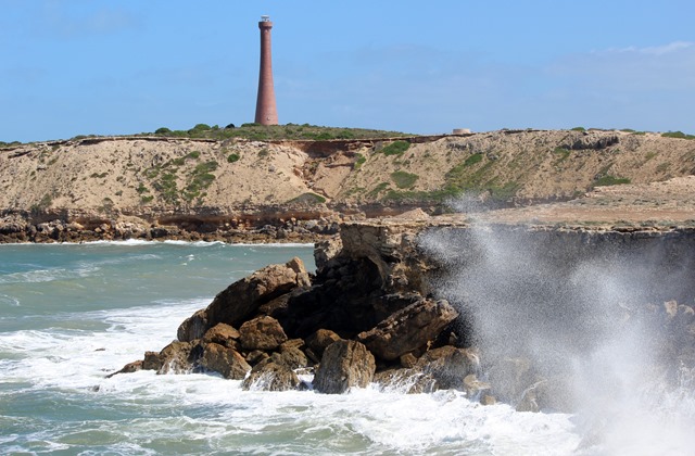
Clear calm waters along the Bunda Cliffs

Clear calm waters along the Bunda Cliffs

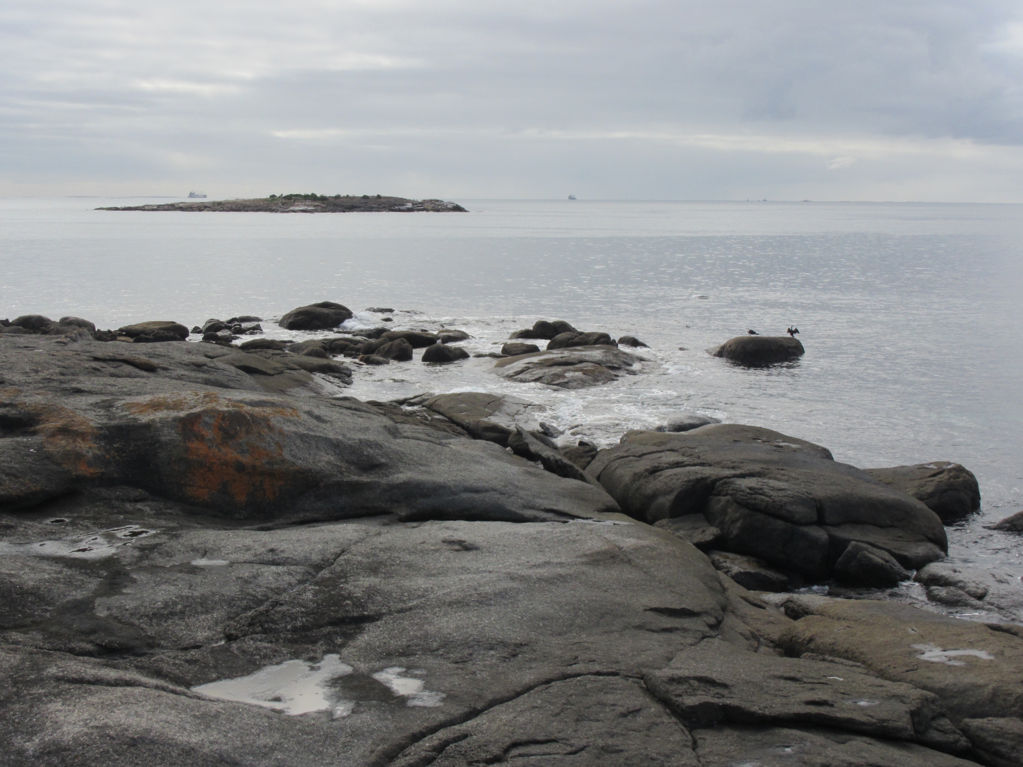
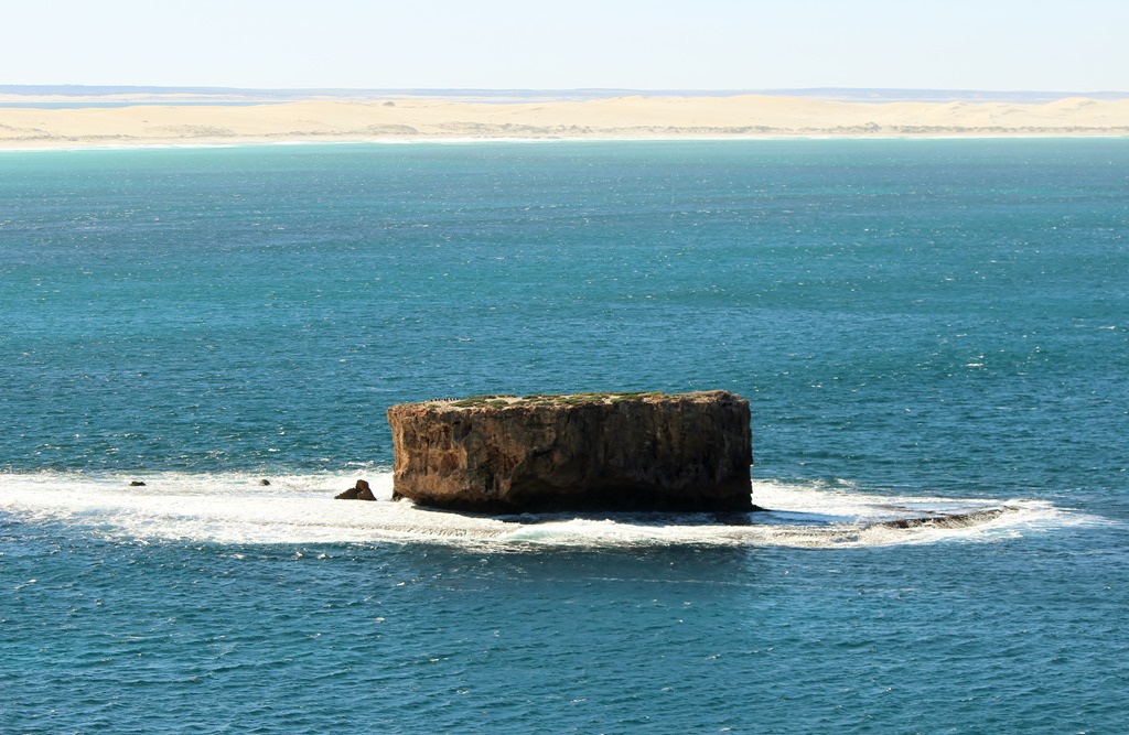
Granite islands

Granite islands

Granite outcrops

Granite outcrops

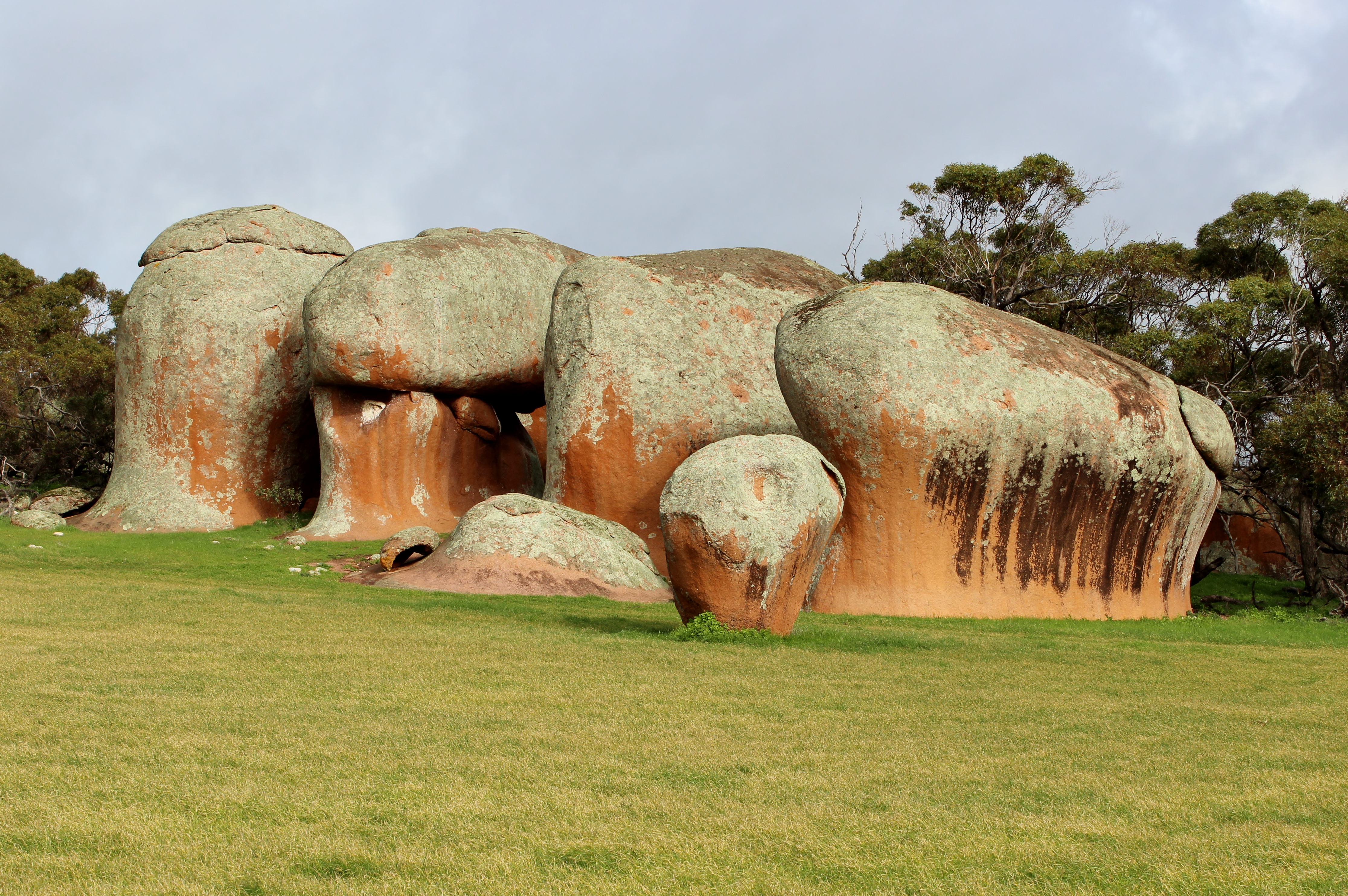
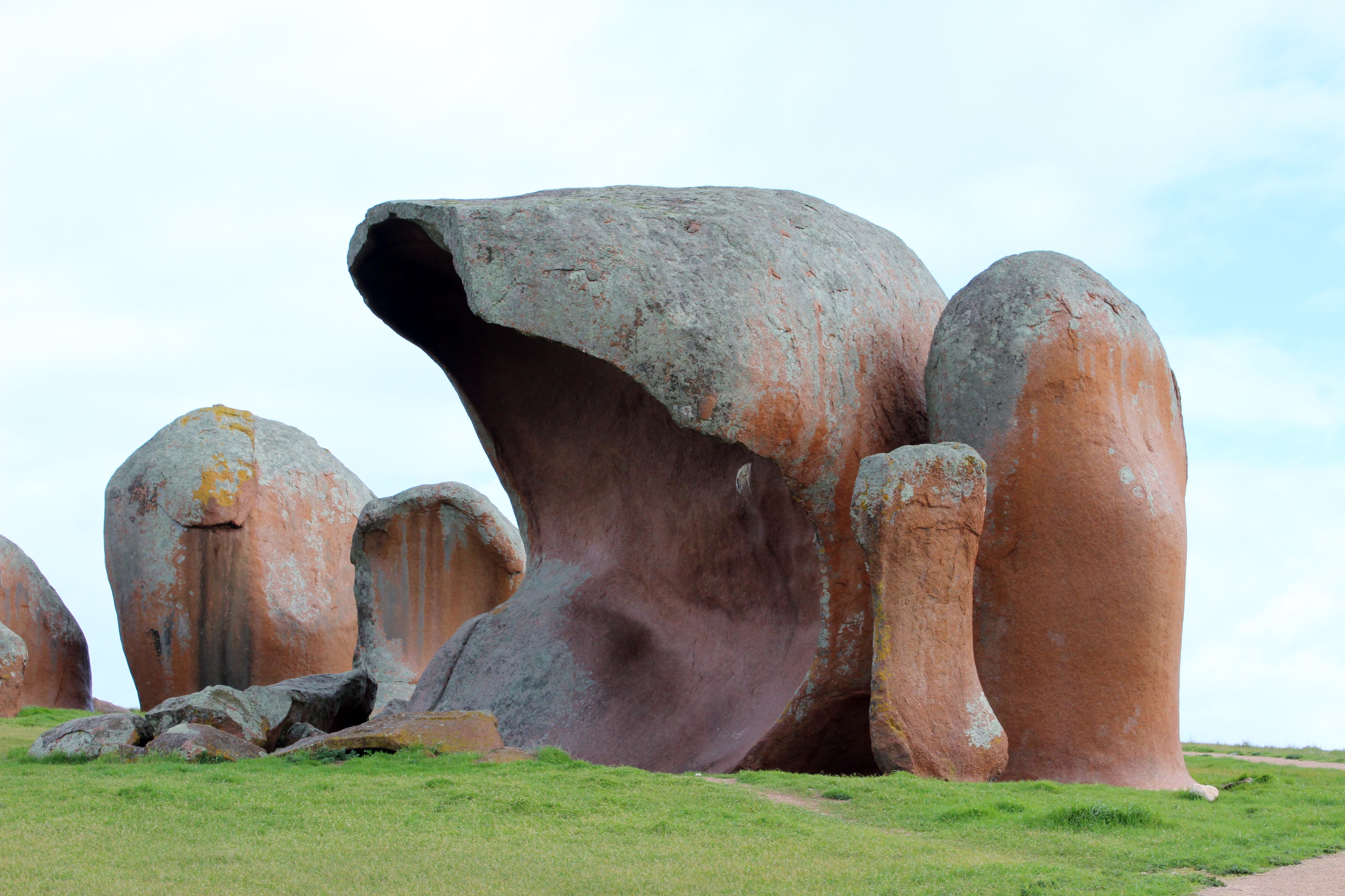
Often the elements sculpt the landscape into interesting shapes. Murphy’s Haystacks look like old time haystacks and the nearby granite is sculpted into various wave shapes.

Murphy's haystacks

Murphy’s haystacks

Stone wave formations

Stone wave formations

Weathered Insulbergs of granite

Weathered Insulbergs of granite

Other places have ever changing natural sculptures.

Shaped by the wind

Shaped by the wind

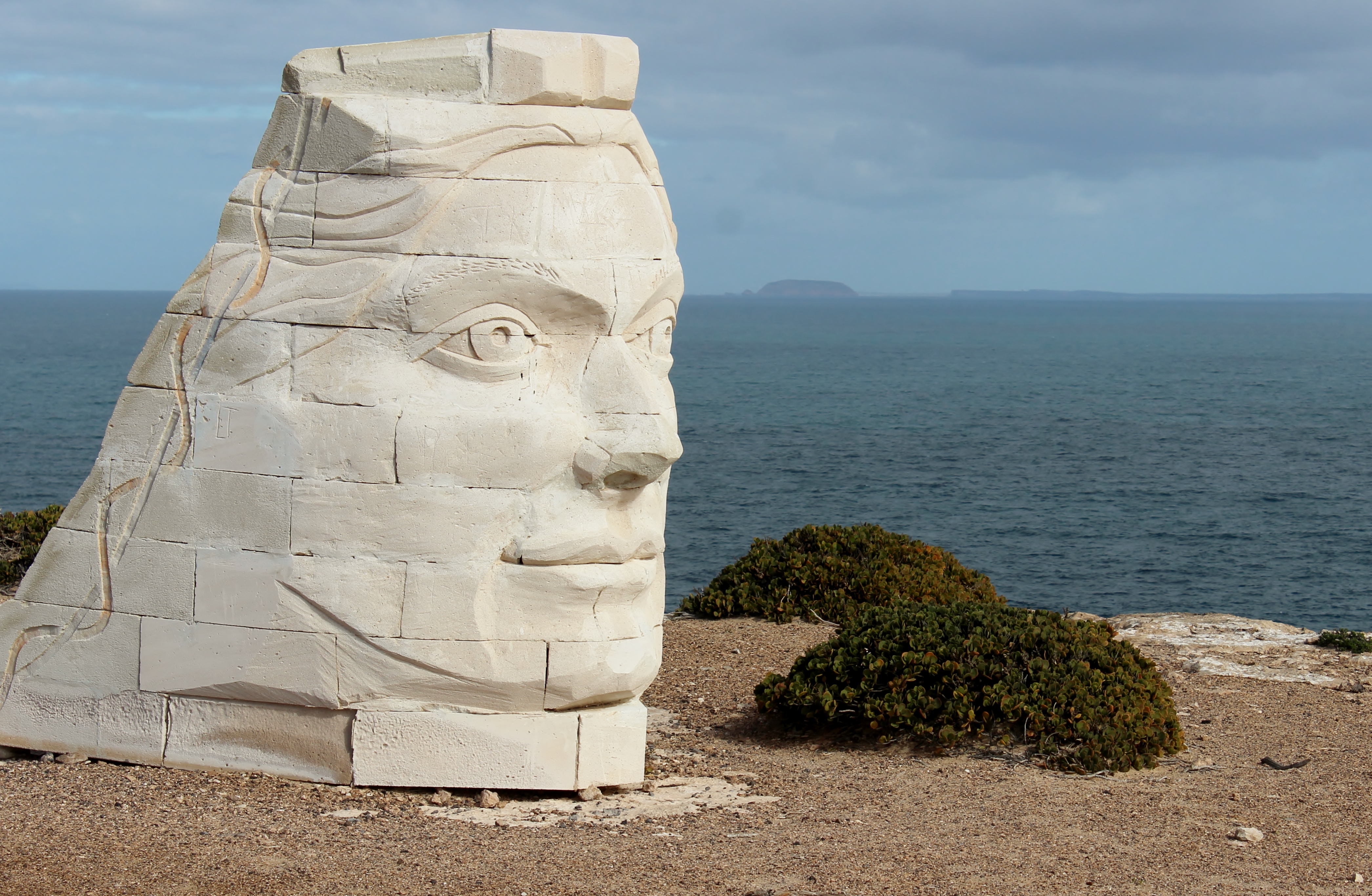
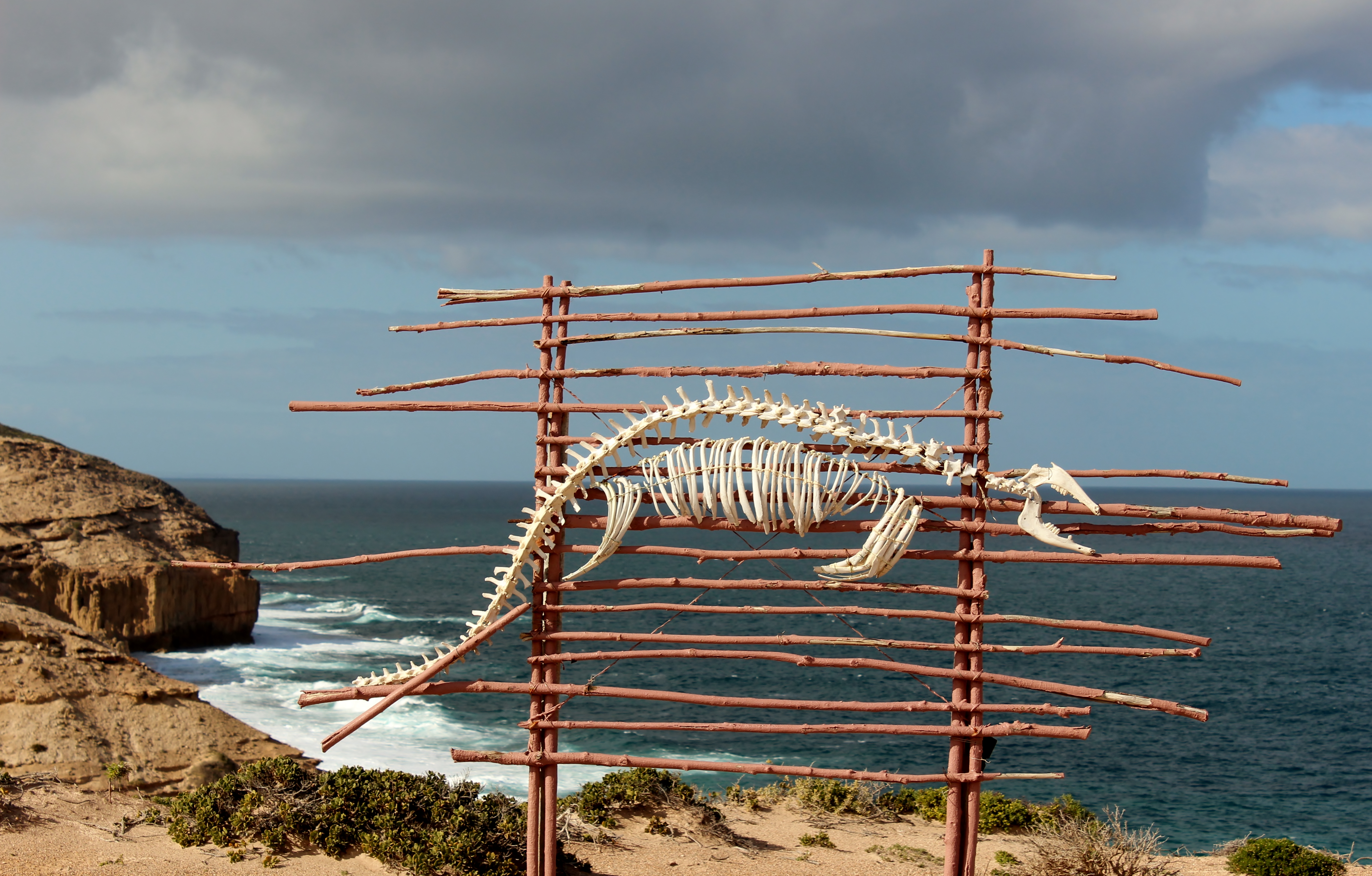
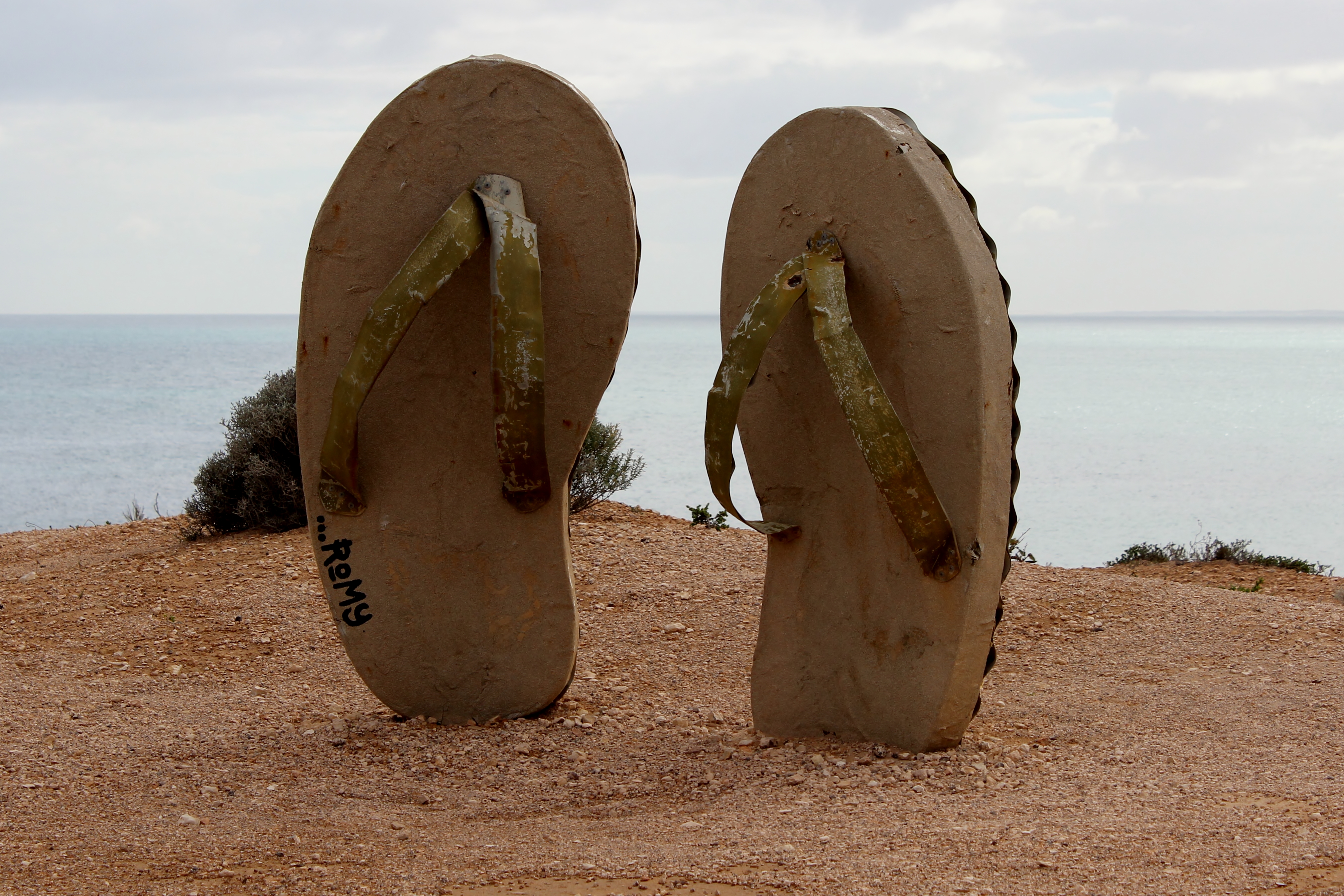
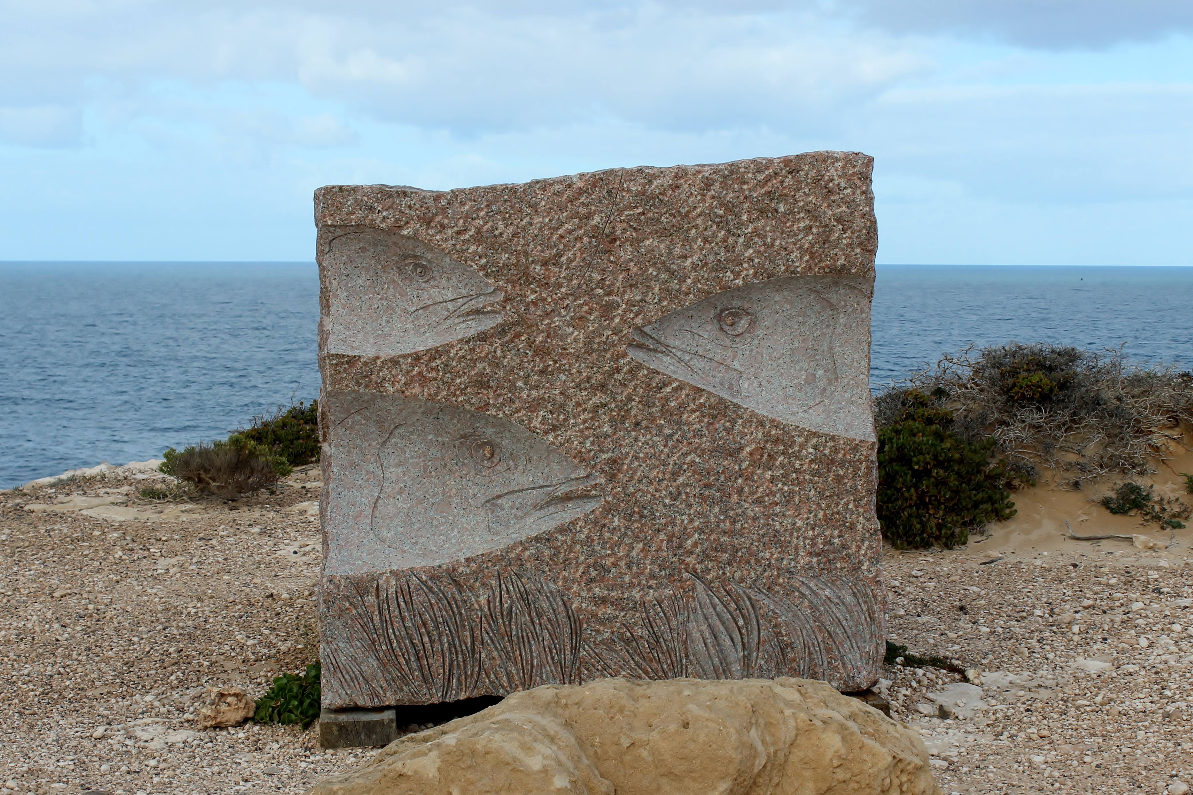
And sometimes you come across man-made sculptures that seem to blend into the environment

Salmon Pole

Salmon Pole

"She" with Top Gallant and Flinders Island on horizon

“She” with Top Gallant and Flinders Island on horizon

Sea Lion

Sea Lion

Left behind at the beach

Left behind at the beach

Gone surfing

Gone surfing

Fish Heads

Fish Heads

The Four Heads

The Four Heads

And sometimes man leaves things to slowly blend into the landscape.

Old dray cart

Old dray cart

Harvesters from the past

Harvesters from the past

Not every old piece of equipment is in decay.  We met Wes Davies who organised a classic car run from Perth to Sydney via the scenic route. Wes was a sheep buyer in this area in his younger days and now as a publisher and classic car fanatic in New Zealand, he shows others the beauty of the area in a truly classic way. I’ve always thought that certain cars from the 1950’s and 60’s had sculptured lines and a beauty of their own.

Perth to Sydney Vintage Car Rally.

Perth to Sydney Vintage Car Rally.

.

Waves and Whales

On the road again, this time in mid winter and for the first time in years, without a kayak on the roof rack. Decided that the winter weather was just too changeable in the Great Australian Bight to consider launching kayaks, so it was pedalling not paddling.

The idea was to check out a number of launch sites for future expeditions as well as spend time in places we often pass through but rarely have time to explore. We spent a couple of days in the Wirrabara Forest Ippinitchie Creek camp ground. A great place to stay and ride the surrounding forest tracks and even better when you are the only one there.

Ippinitchie Creek camp site

Ippinitchie Creek camp site

Some time ago, the nearby community of Wirrabara Forest must have been thriving with a tennis club and scout hall. This is all that remains.

Tennis Courts - the net posts still survive

Tennis Courts – the net posts still survive

Scout Hall near Foresty Headquarters has now been restored

Scout Hall near Foresty Headquarters has now been restored

After another stop along the way at Melrose, to ride a few of the famous mountain bike trails, we headed for the Gawler Ranges National Park. Unfortunately we were hit by severe rain storms soon after we left the bitumen road which turned the track into a stream of mud. Very interesting driving when the Toyota Prado and the camper trailer are going sideways down the road and the mud reaches up to the doors. After a couple of hours in slow 4WD we hit the bitumen again and headed further across the Nullarbor Plain.

For those who don’t know the area, this is a vast flat treeless plain stretching 1100 km. across the Great Australian Bight, covering an area of approx. 200,000 sq. km..That’s about 1 1/2 times the size of England or 1/4 the size of Texas.

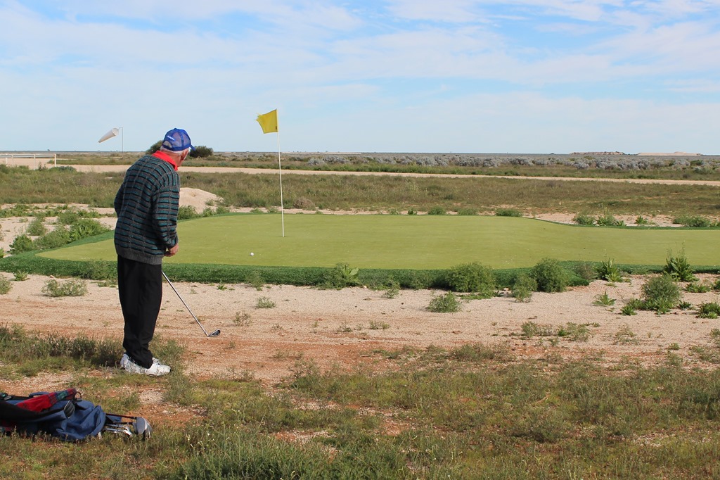
It’s other claim to fame is the worlds longest golf course with one hole played at each town across the Nullarbor. The greens are artificial turf and the rough is horrendous salt bush. The other problems, apart from losing your ball, are snakes, other bities and at Nullarbor Roadhouse the airstrip cuts across the “fairway”.

Chipping onto the green on the 3rd hole.

Chipping onto the green on the 3rd hole.

At the head of the Bight we found about 30 Southern Right whales, many with calves lolling around at the base of the cliff. We were also lucky enough to see 2 recently born albino calves. Less than 2% of calves are born albino (white) however they do gradually turn dark as they grow up.

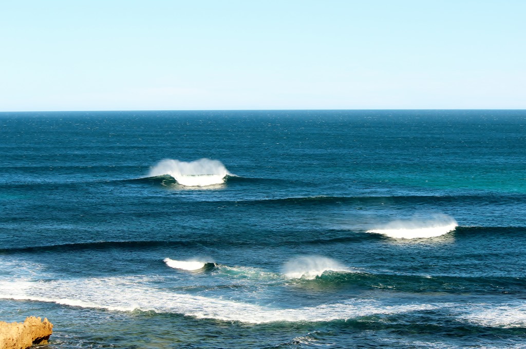
We also visited a number of areas that I had surfed over 20 years ago. The waves in this area are fantastic and extremely powerful however this trip the swell wasn’t large enough to produce the waves that places like Cactus and Granites are famous for.

Waves sets off the Headland near Fowlers Bay

Waves sets off the Headland near Fowlers Bay

Spent a few days off the beaten track in Fowlers Bay area which is a nice area for a spot of fishing and whale watching as well as enjoying the sunsets and moonrises.

The "road" to the beach in Fowlers Bay

The “road” to the beach in Fowlers Bay- 4WD needed here

"Mexican Hat" rock

“Mexican Hat” rock

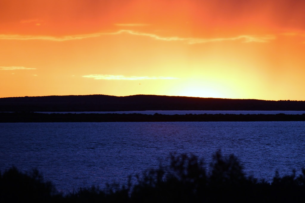
Sunset over the Calca Peninsula

Sunset over the Calca Peninsula

Moonrise over the Fowlers Bay Jetty

Moonrise over the Fowlers Bay Jetty

In the Port Lincoln National Park, we found a few nice 4WD tracks to explore by bike,

The track to McLarens Point

The track to McLarens Point

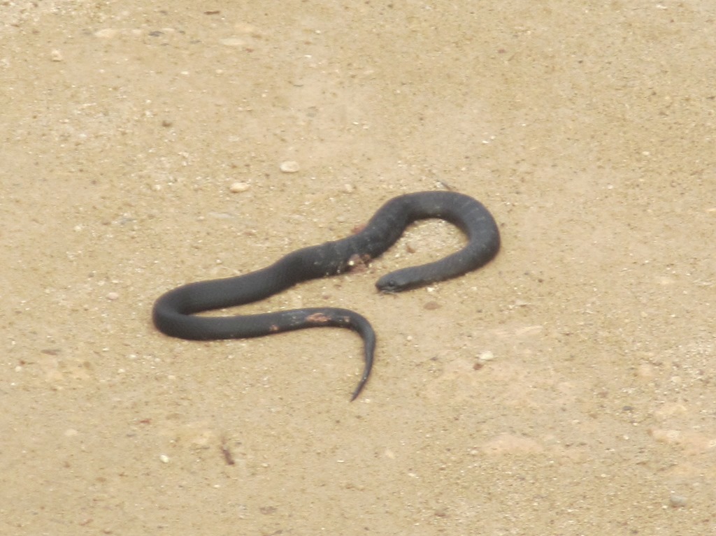
This track had some natural hazards. Firstly a black snake on the track…..

Black snakes - an unusual sight in the colder months

Black snakes – an unusual sight in the colder months

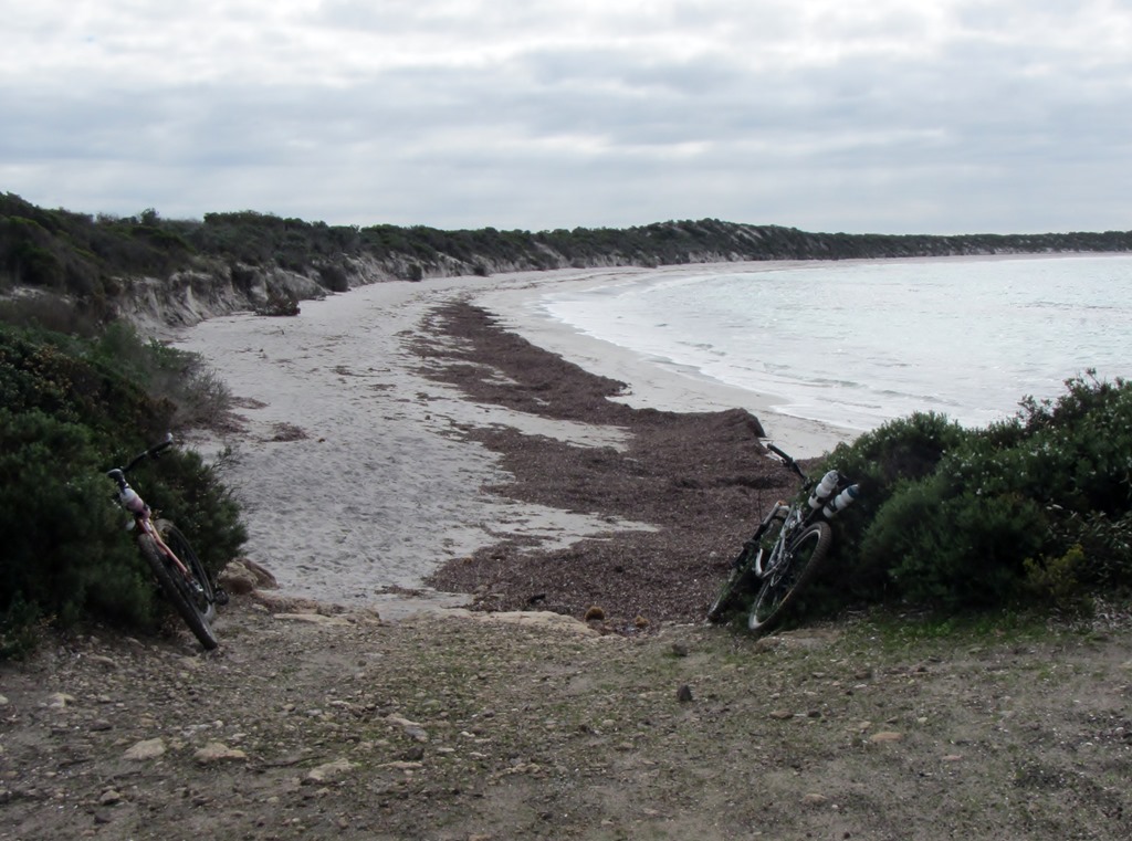
And then I had an unplanned dismount when I startled 2 Emus who bolted in front of me. Things got a little interesting with 200 kg of bird flashing across the handle bars.  The track ended at McLarens Beach, another perfect and deserted destination.

McLarens Beach- another deserted beach at the end of the track

McLarens Beach- another deserted beach at the end of the track

Later we rested near the waters edge only to see a Whale lolling about in the shallows of the bay. Of course there was the usual list of animals including the Port Lincoln Parrot, Blue Wrens, Currawongs, Sea Eagles and nightly visits from Emus and Kangaroos.

Seakayakers’ birthday

So what do you give a crusty old sea kayaker for his birthday?.

Well certainly not something in the way of kayaking or camping gear. They probably already have it or tried it or discarded it years ago.

What about a kayaking book or DVD ?. Probably not as they would have already read it or seen it.

Clothing perhaps ?. Again they probably already have at least 2 of everything in the wardrobe.

A new paddle ?. That’s a possibility, however there’s so many to choose from it’s hard to get it right.

I just had my birthday and received 2 things that I appreciated.

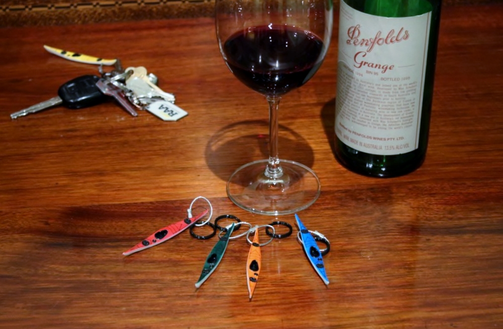
A great sea kayak keyring and a nice bottle of wine. The keyring reminds me where I should be and the wine helps me forget my age.

IMG_6280

The keyrings are great,  a reminder of time on the water.  I bought the full range of colours so I have a few birthday presents for others on hand. I found them on the Hobkey site here . Nicely made and easy to have delivered by post.

IMG_44732