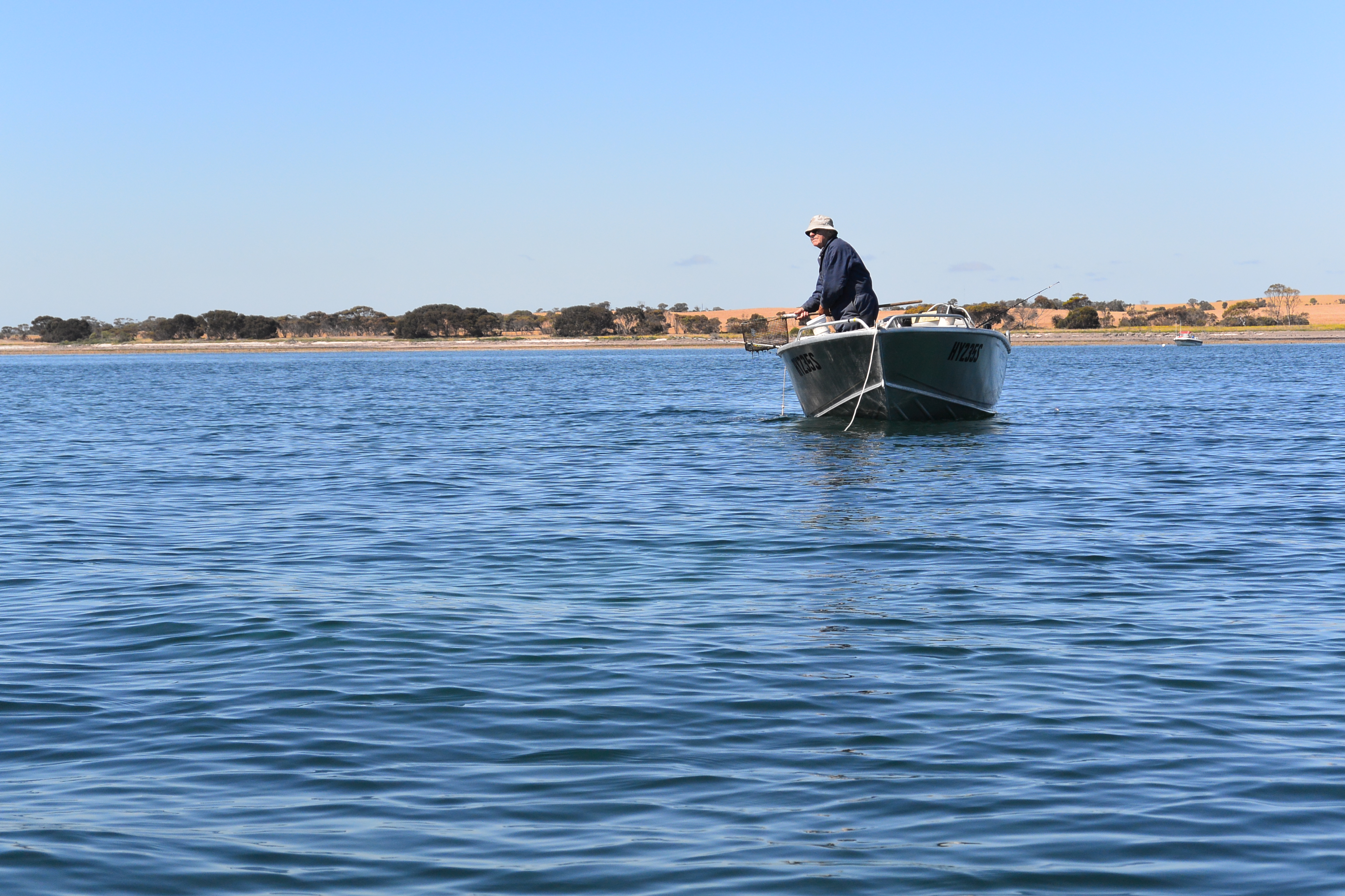
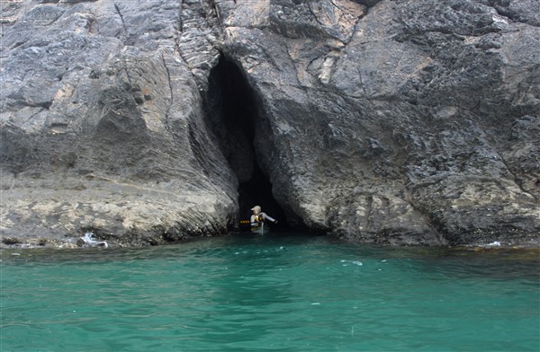
Horseshoe Reef. It’s been around for a long time; certainly longer than me and I feel a strange attraction. I remember being on the beach as a child watching the small boats fishing along the inside of the reef. I visited on school holidays, snorkeled out to the reef as a teenager and still explore it regularly by kayak.
The reef is part of the Mullawirraburka dreaming story of the local Kaurna aboriginal people telling how Mullawirraburka threw his spear into the water to bring the fish closer to the shore forming the reefs of Pt. Noarlunga and Christies Beach.
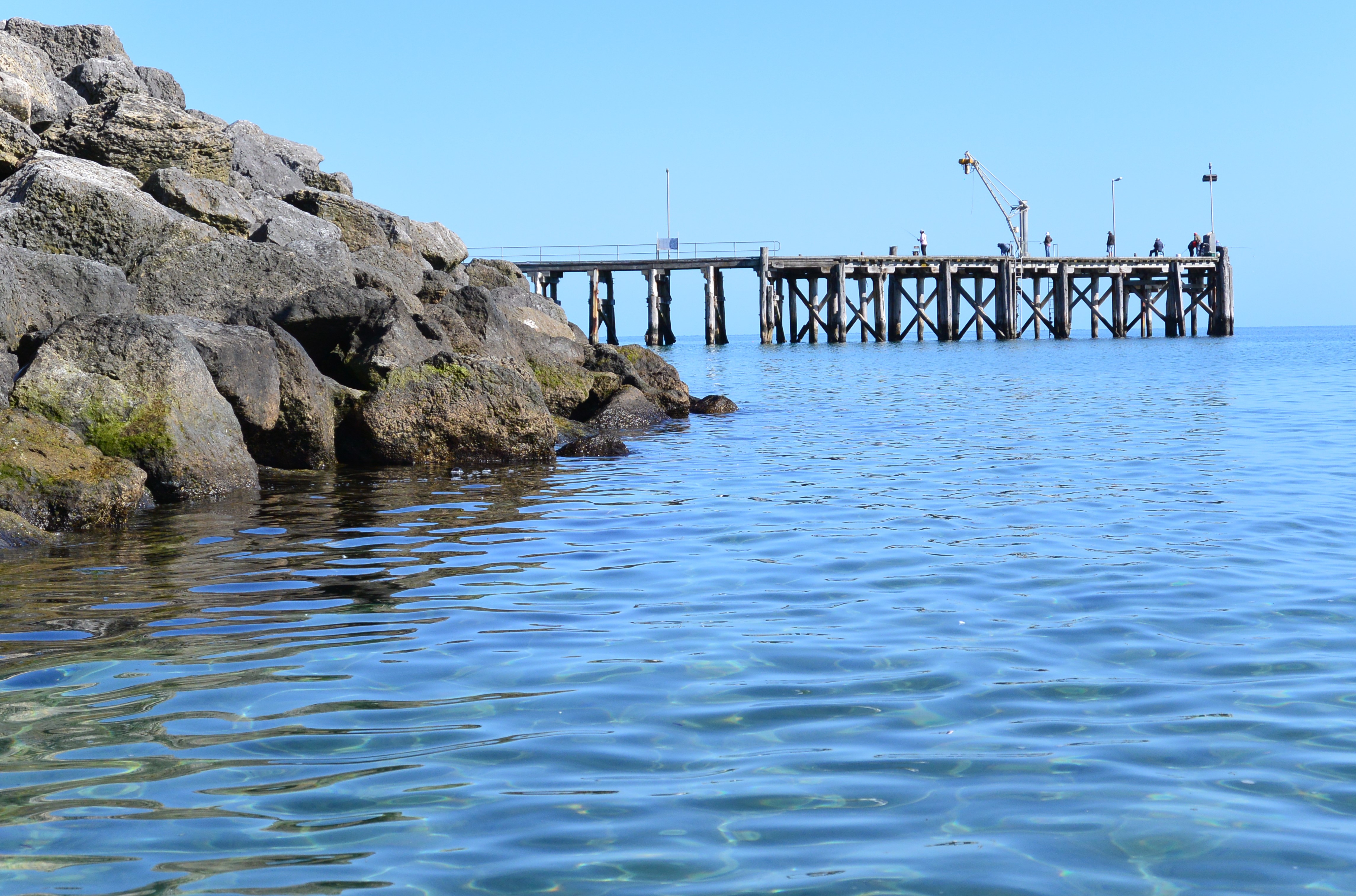
As the name suggests the reef is formed in an arc with the open end pointing to shore. On the seaward side the reef drops from a steep platform to a flat expanses of stone and toward shore the reef becomes steeper then drops into 5m of water.
The reef is seldom flat calm. More often there is a confused sea caused by the meeting of waves but always it’s a fun place to hang out.
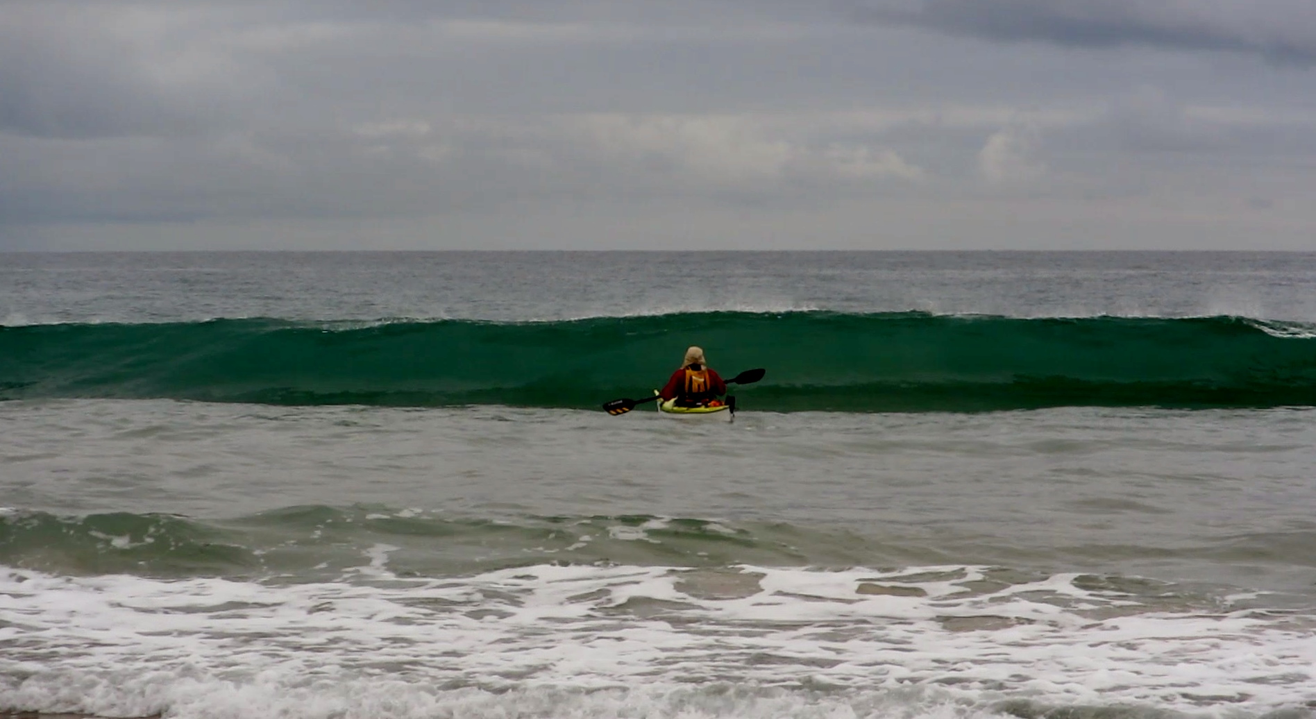
The outer steep reef edge generates a powerful wave which wraps around both ends of the reef and in the right conditions these left and right waves peel around the horseshoe shape in opposite directions to collide with huge force.
That’s where the fun begins. You can catch a small wave heading south only to be met with one coming north and you are often spat out upwards; or sometimes you are just buried by a few ton of water. You might come back up the right way but not always.
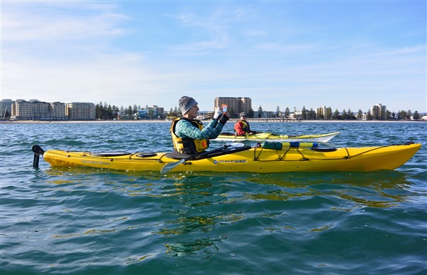
Steve playing around on a calmer day……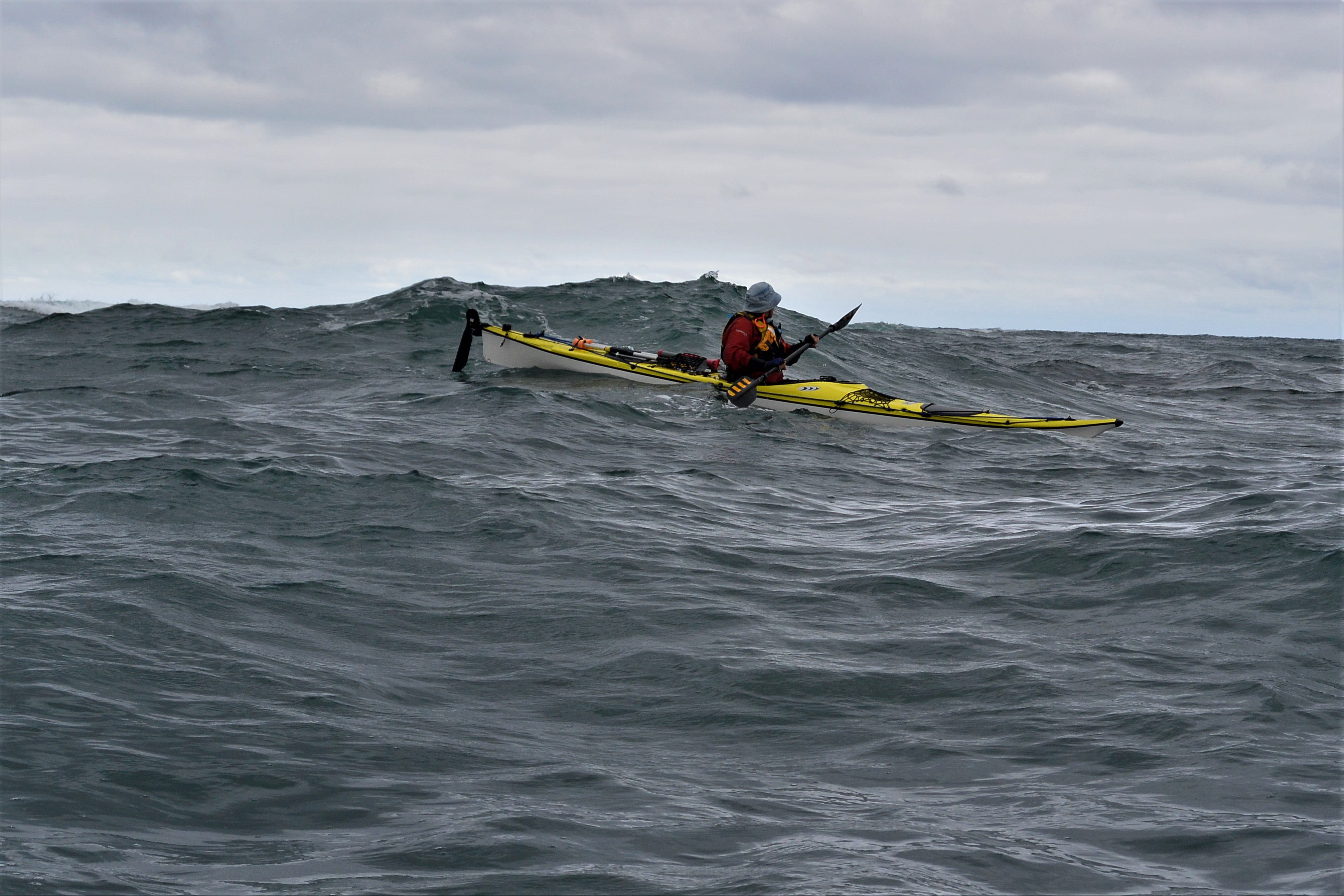
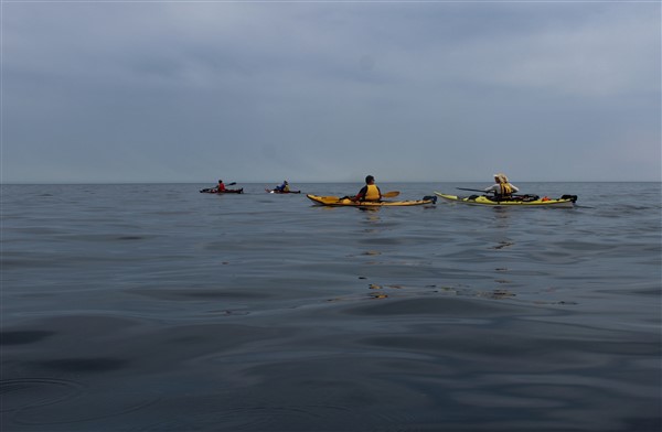
The reef is a place for experienced paddlers and on the right day is an excellent place to put a few sea kayak skills to the test.


The Reef on a stormy day
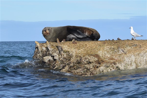
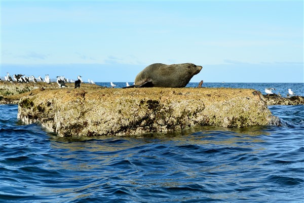
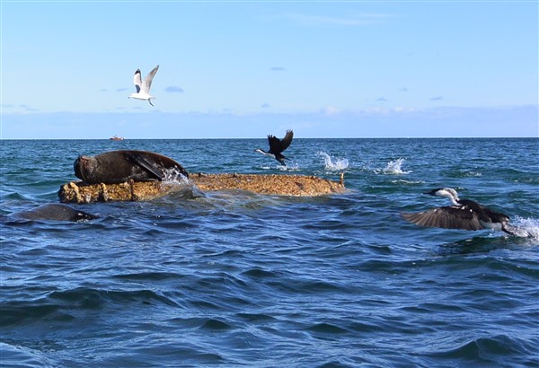
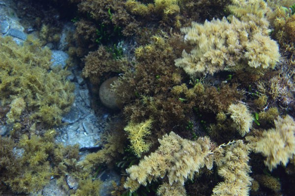
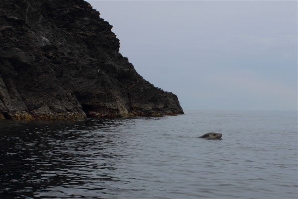
But beware the dangers below as there is not only the reef to worry about but also its inhabitants. I guess we may not be the only ones enjoying the reef today.

Get out and enjoy our local area but remember to “keep it safe” and stay within your ability.
Cheers
Ian Pope