BELTANA BIKE RIDE

The sky had been clear blue all day and the forecast was for that to continue. We camped at the town of Beltana, a heritage town, in the northern Flinders Ranges of South Australia and settled back to watch the sunset light up the sky as a few clouds streaked across.

Our plan was to ride two roads that join Beltana to the Outback Highway, both of which are recommended for 4WD vehicles only. This would be out and back style rides unless we decided on using the highway and sealed road into Beltana to turn it into a loop ride.

Beltana is a Heritage town with a small permanent population which increases slightly in the cooler winter months. New houses can be built in the town but they must comply with heritage style. The local hall displays an amazing art collection of Flinders Ranges landscapes with around 100 on display.  It welcomes self sufficient campers such as us and it is well worth a walk or ride around the town.
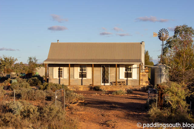
One of the newer cottage style residences
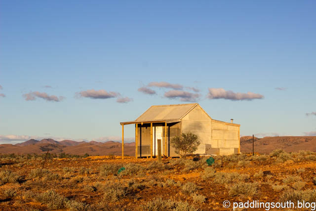
An original residence but what a view from the front verandah

Our first ride was on the Old Beltana Road which is a rocky, red dirt road that heads north for 20km, emerging through the Puttapa Gap, before joining the highway. Recently, Cyclone Ilsa pushed a rain band south from the tropics giving the area a good drink. We saw only a small amount of surface water in the creeks and the red clay roads were dry and hard.
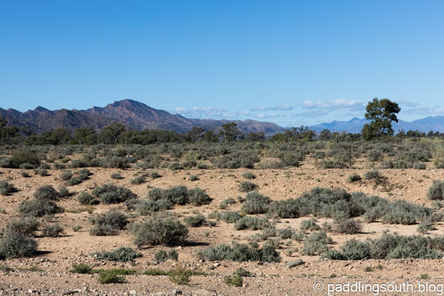
The railway line is on the mound in the foreground

This is not an area to be taken lightly. Carry plenty of water and safety gear as few vehicles pass this way. It’s rocky, corrugated, washed out, sandy, bone shaking and stunning. Admiring the rock formations and the distant views as well as keeping the bike upright would be a challenge for anything other than a suspension mountain bike.

Yes it’s rugged and a little harsh on the equipment

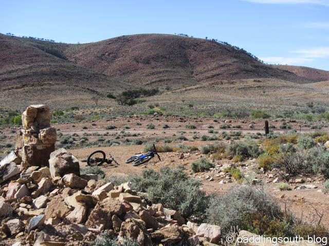
Following the Old Ghan Railway line and we came across ruins of the bridges and culverts as well as sidings that would have been flourishing 100 years ago.

Great views from the old siding
These culverts were built to last

I’m not sure what the name of this siding was but now it’s just a ruin with only partial walls still standing.
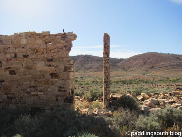
Built from the local stone
Like a totem pole

At the 20km mark we joined the Outback Highway and headed north for around 6km towards the town of Leigh Creek. Looking to your left you can see a communication tower high on a bluff and that was our destination. Again, don’t try riding this area when there has been rain. You won’t get far in the red clay. The turnoff is near a cattle grid on an unmarked track. Stop here and strap on a new set of climbing legs, or in our case shift the Ebike power up a notch. This is a long, rocky, rutted climb but with spectacular views from the top.

Beware of the gates, especially on the way down. It seems someone had a sudden stop.

Sudden stop

It seems that mangled gates are a feature on this ascent.
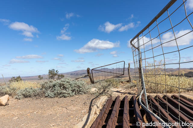
2 sudden stops !

Sorry I didn’t get any photos until towards the top and they don’t do justice to the view. Still, I tried with these shots!

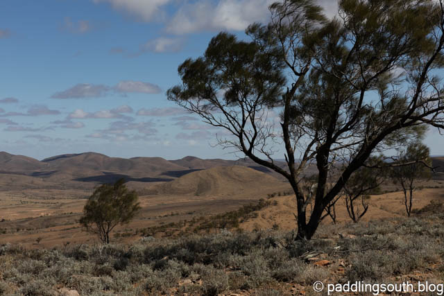
Now for the descent. Take it slow and easy going back down. You may be only a few kilometers out of Leigh Creek but few people pass this way and bike spares are impossible to find in this region.  A blown tyre could mean a very long walk. Of course, I would disregard that advice and have a great time bombing down the track.

You can follow the red track in the photo to the lowest point in the valley, which is where you started the climb. The photo was taken about 1/3rd of the way down from the tower.
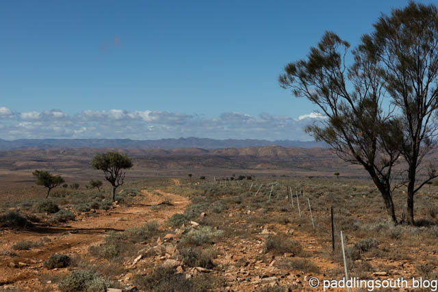
The Highway is far in the distance

Now it’s only a matter of retracing your route to return to Beltana.

There are other “wildlife obstacles” to avoid along the track. Charging around a corner we surprised a herd of feral goats who dived in all directions. Luckily, they high tailed it up a steep embankment.

A mob of ferals

Emus are also numerous in this area. It’s not unusual to have a gaggle of Emus spear out from the bush and cross the road just in front of you. Nothing like seeing 200kg of flightless bird with long clawed legs, a sharp beak and beady eyes charging through the bush towards you.
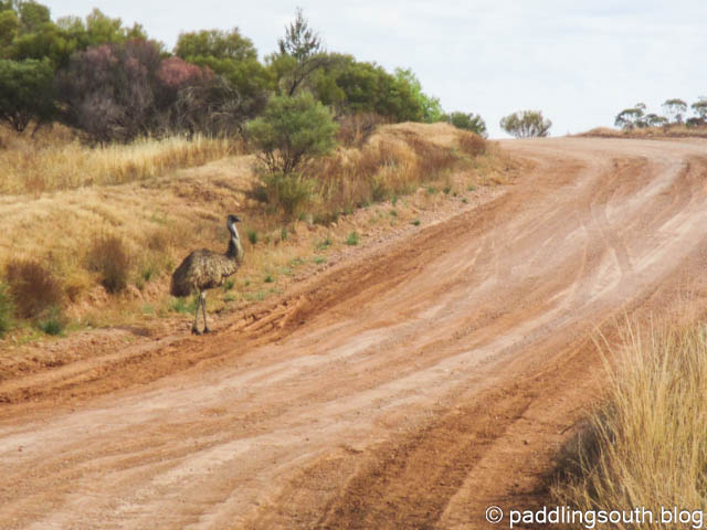
This guy ran for a while then turned and stared; daring me to pass

The other wildlife encounter I had was with a female kangaroo with Joey in the pouch. She has bounding flat out along the track near me, with the Joey hanging out of the pouch screaming “faster Mum faster, we can beat this sucker”. No time for photos of that one; full power as I hate being beaten by kids.

We had previously tried to follow the Highway to Trebilcock Creek where maps showed a short cut to Beltana, but when we reached the turnoff the track was actually following a creek bed and strangely enough it had water in it. This gave us a less than enjoyable 20km on the Outback Highway and then 12km of sealed road to Beltana.

Back at camp the clear blue skies disappeared, and clouds gathered above us; and then it rained. The second 34km (return) ride on the southern 4WD track would have to wait.
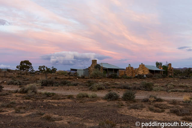
The rains are coming and we will be going

Beltana, a town with history. Robyn and I stood at the front of the hall, me knowing my father was here as he travelled north with the troop trains of WW2, and Robyn knowing her family lived and worked here on the overland telegraph over 100 years ago.

Beltana, a great place to visit in the cooler months and when it’s not raining!
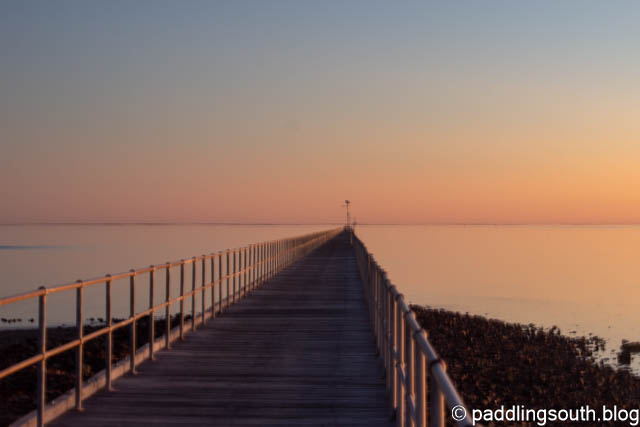
Time and Tide

The phrase “Time and Tide wait for no man”, or more correctly man or women, is a common phrase  but what does it really mean. The common conception is that it’s a call to action, to do it now, with urgency.

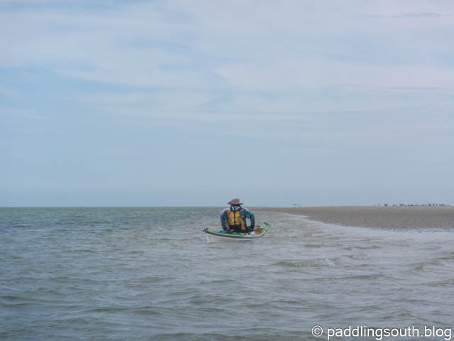
That phrase came to mind prompting action stations as my kayak plunged into the short sharp wave in front at exactly the same time as another hit me beam on and the one behind broke on my rear deck. Oh what fun, buried up to my armpits in a low volume skeg kayak, in a following sea, in 3 metres of water driven by wind gusting over 20 knots.

But back to the beginning. I had been invited to join 2 distinguished gentleman paddlers on a 20+km sea kayak paddle in the northern reaches of Spencer Gulf where we would visit Cockle Spit. Aptly named because it’s a bar that is formed of cockle shells and is dry at lower tides. Steve and Greg are locals to this area.

We arrived earlier so that we could ride the nearby mountain bike tracks at Willowie forest, with Steve as our guide. Riding in 36 degree heat (C not F) is certainly taxing but fun. Settled in the beachside park we watched the sunset and Robyn chased a few photo opportunities.

The Jetty is an old wooden affair that was around 1.5km in length
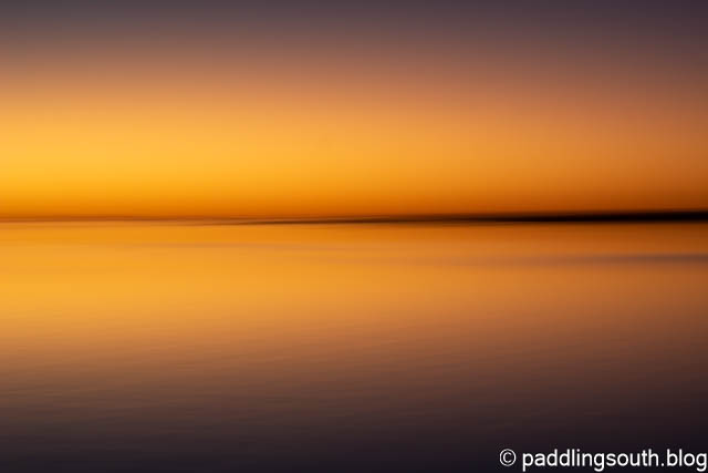
Sunset on the high tide
The fading sunset
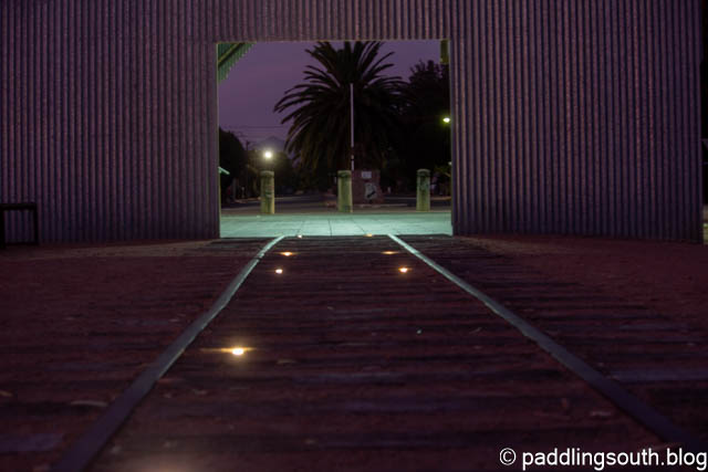
There are old storage sheds and railway lines from earlier days that have been restored

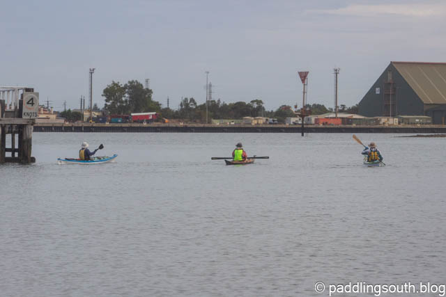
Back to the present. The day had started calm, with the knowledge of increasing wind, as we left the Port Pirie harbour making our way past large ships docked in the channel.

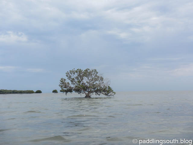
We followed the channel markers as they weaved their way into open water, leaving the Mangrove trees behind.

The last mangrove tree in the channel
The wind gently rising with more to come

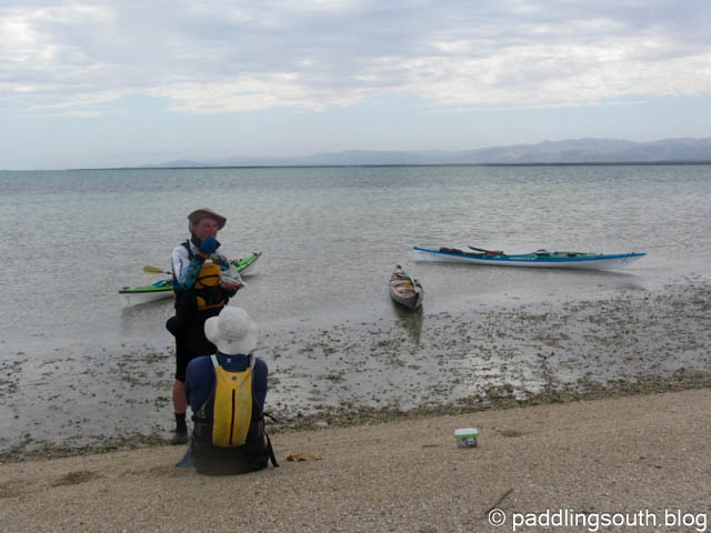
The wind increased, as predicted, making for a slightly bumpy, but not unpleasant, 16km paddle until we had Cockle Spit in sight. Actually, you can’t see the Spit until your almost on it but you can use line of sight from various markers to navigate. Steve led Greg and myself to the calm inside of the Spit for a well earned break.

The wind increased again, adding another layer of complexity to the paddle. Steve and Greg decided to push the boundaries of their Mirage kayaks by hoisting their kayak sails. That put my ego under serious pressure, so I engaged warp drive to keep up. Luckily, they soon decided that sailing was a little precarious in these conditions and reverted to paddle power alone.

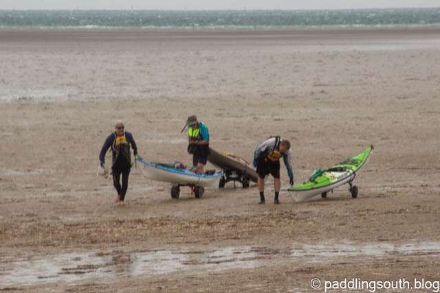
We made reasonable headway considering the conditions and soon had the Port Germein jetty in sight. I noticed a change in water color at the end of the jetty which is 1.2 km long. Then I realised why Steve had insisted we all had a kayak trolley with us. The tide goes out over 1.5 km in the bay and that sand colored water was indeed sand. So when we ran out of water we simply hooked up the trolley and walked making it more of a biathlon than simple paddle. Steve insisted that we should have made it a triathlon by all going for a swim but Greg and I declined.

Back on dry land with a long drag ahead. You can see the choppy conditions in the distance.
The happy bunch

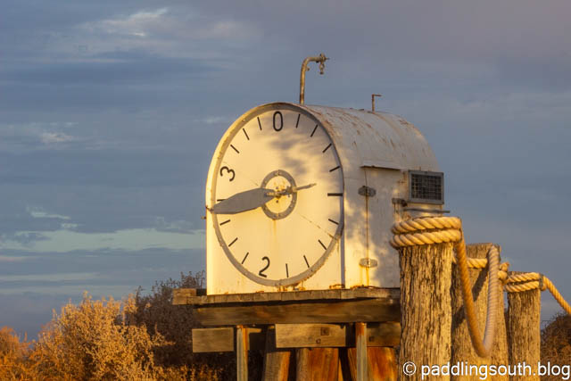
Cockle Spit had previously had a tide clock erected in the channel telling ship captains what the tide was at the time. Ships would enter the harbor and anchor whilst being loaded with wheat and other produce by smaller vessels called Lighters.

The Tide Clock has been salvaged and is now housed at the beginning of the jetty as a reminder of an era when navigation was a tricky affair.

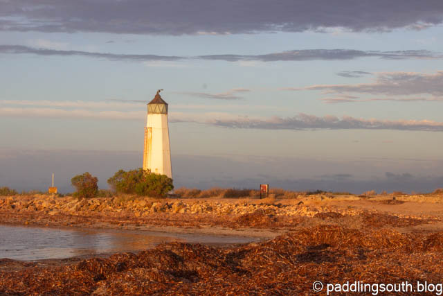
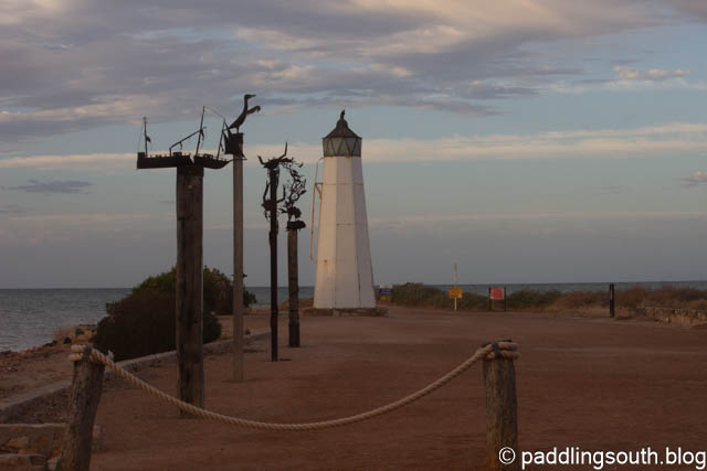
The Jetty previously had a lighthouse at the end of the jetty and that has also been restored and placed on land.

Complete with sculptures the Jetty precinct is a nice place to wander, especially the nearby coffee shop.

An interesting paddle in an unusual location with a fair bit of wind and wave thrown in for good measure. We learned later that winds had been strong near our home in Adelaide resulting in downed trees and power lines.

Robyn and I are heading into the Southern Flinders Ranges for gravel road and mtb track riding and some serious Bakery visiting. Time and Tide wait for no man or women. Do it now !

Not Always Paddling

I’m not always paddling a kayak, or surfing a kayak, or travelling somewhere to launch a kayak, or finding a new place to launch a kayak . Sometimes I do other things, like eating and sleeping; especially the sleeping.

Other than Paddling you will often find us riding a mountain bike track or exploring gravel backroads. Mountain biking has been with us since the 1990’s when we started on non suspension steel frame bikes and have now progressed, or regressed, to full suspension E-bikes.

But that’s not the only things I do. I carry the tripod for Robyn because she has one of those damn heavy (non carbon fibre) tripods for her camera. I was in camel mode recently with tripod, camera and heavy lens when a guy walks up to me and starts asking about focal lengths and full frame or cropped sensors. I told him I had no idea and was only carrying the thing around to look important and impress the ladies. He looked at me, said nothing and left.

We like finding beaches to explore. This beach is around 5 kilometres of sand between two rocky headlands and we enjoyed the sunset view from the top of the sand dune.

We thought we were the only people for miles around, until a couple and dog sauntered along the beach. Oh well, that made 4 of us on the 5 km of beach.

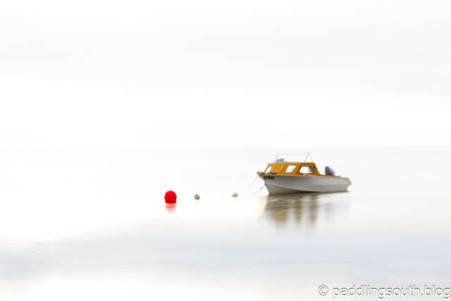
Sometimes our interest is finding a different view of the everyday things we see.

The boat that is anchored in the bay …

The abstracts of nature. A night walk in the forest.

As well as a different view of a prominent marker.

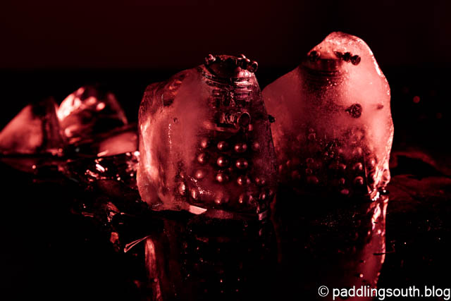
When we are home there are experiments with “still life”. Is this the beginning of Armageddon where the Daleks conquer Earth or Robyn playing silly buggers with my salt and pepper shakers encased in ice ?

Time to move on to the next adventure. Leaving the Limestone Coast of Southern Australia and heading north to paddle on Spencer Gulf followed by a visit to the Willowie Forest Mountain Bike Park.

Cheers
Ian and Robyn

A small window

I never saw Spring. Maybe it had more pressing engagements elsewhere. None of those lovely Spring days with the sun shining and the temperature starting to show signs of what’s to come. No watching warm red sunsets with a favourite beverage. No sunburnt nose from forgotten sunscreen. No need to check your kayak for spiders lurking under the seat. No need to have a hat for every occasion.

None of that.
We had water. Not the type you paddle on, but the type that comes in bucket loads, drenching everything and everyone. The type that causes massive flooding river systems, inundates whole towns and livelihoods. With the rain comes the wind; howling, screaming, terrorising wind that wipes out all in it’s path.

Gum trees snapped at the trunk
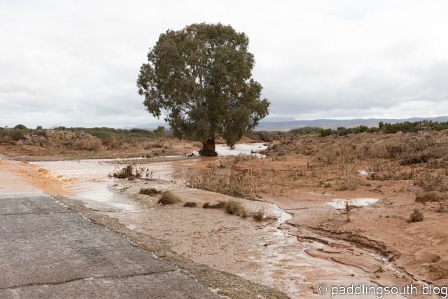
The road was passable as the level dropped

Luck was on our side as we sheltered from flooding rains in the Australian “outback”. We reached a bitumen road that headed south towards home, our path flooded in many places. I had the kayak on the car roof but fortunately the creek systems fell just as quickly as they rose.

Summer was closing fast and finally a small Spring weather window opened. Not enough time to get in any substantial sea kayaking journeys but long enough to fit in a little surf play.

Summer will come, the waves will be clean and uncrowded, the sea kayaking perfect with pods of dolphins, the water crystal clear for snorkeling and the mountain bike tracks dry, running smooth and fast.

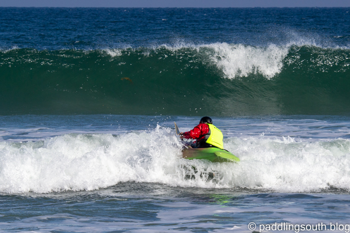
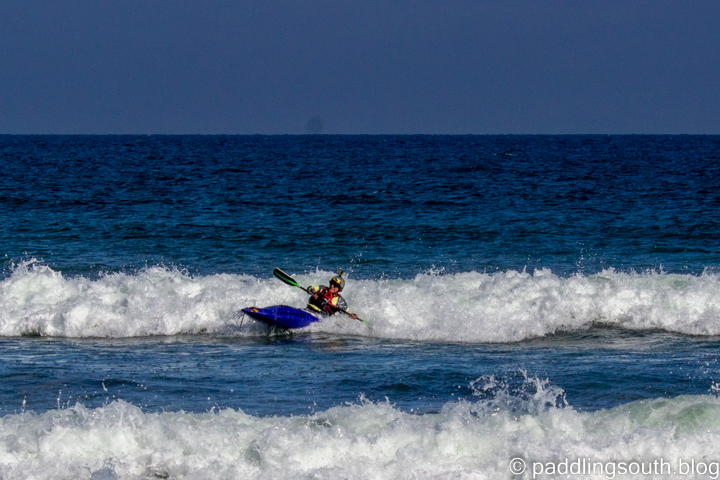
Dreams are free. In reality I take every FUN I wave I can and here’s a few I took today before the wind reappeared

Steve gets last minute instructions from Philip’s labrador.
You have to earn your wave FUN
Steve gets a small FUN wave
This could get a bit crowded
Fast and Clean

Some things remain the same

Some things remain the same

I stretched forward and flipped the spraydeck over the coaming and checked the fit all-round. How many times have I done that I wonder. Thousands of times, tens of thousands of times or more; I try a quick calculation in my head and I’m immediately hit with a searing “ice cream headache”, not from the mental gymnastics but from a wave that snuck up and pounded my head.

That’s better. Making it out during a lull in waves

It’s been with me a while now, this kayaking thing. From the 1970’s when I started in river touring kayaks and graduated into just about every discipline of the sport. I have been a competitor of sorts, mainly thinking of myself as someone that “made up the numbers ” due to my lack of training time, or more likely ability.

One thing remains the same; Surf Kayaking. I loved it from the first time I took a river touring kayak out through the break and ran down a small wave. Lots changed in that time both in kayak shapes and equipment. Does anyone remember the Johnson Surf Shoe (kayak) or Valley Moccasin ? I owned both as well as an Australian designed Rosco Phase 3 Kayak and locally made Olymp 75 kayak.

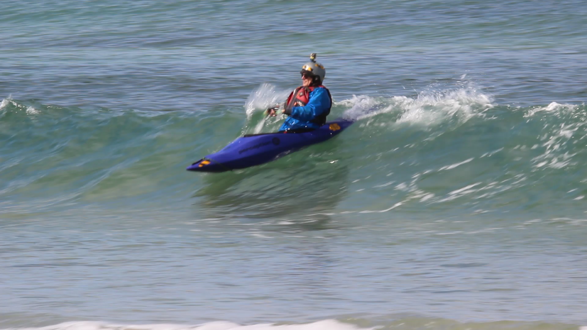
Let’s take a small wave to get the feel of the kayak

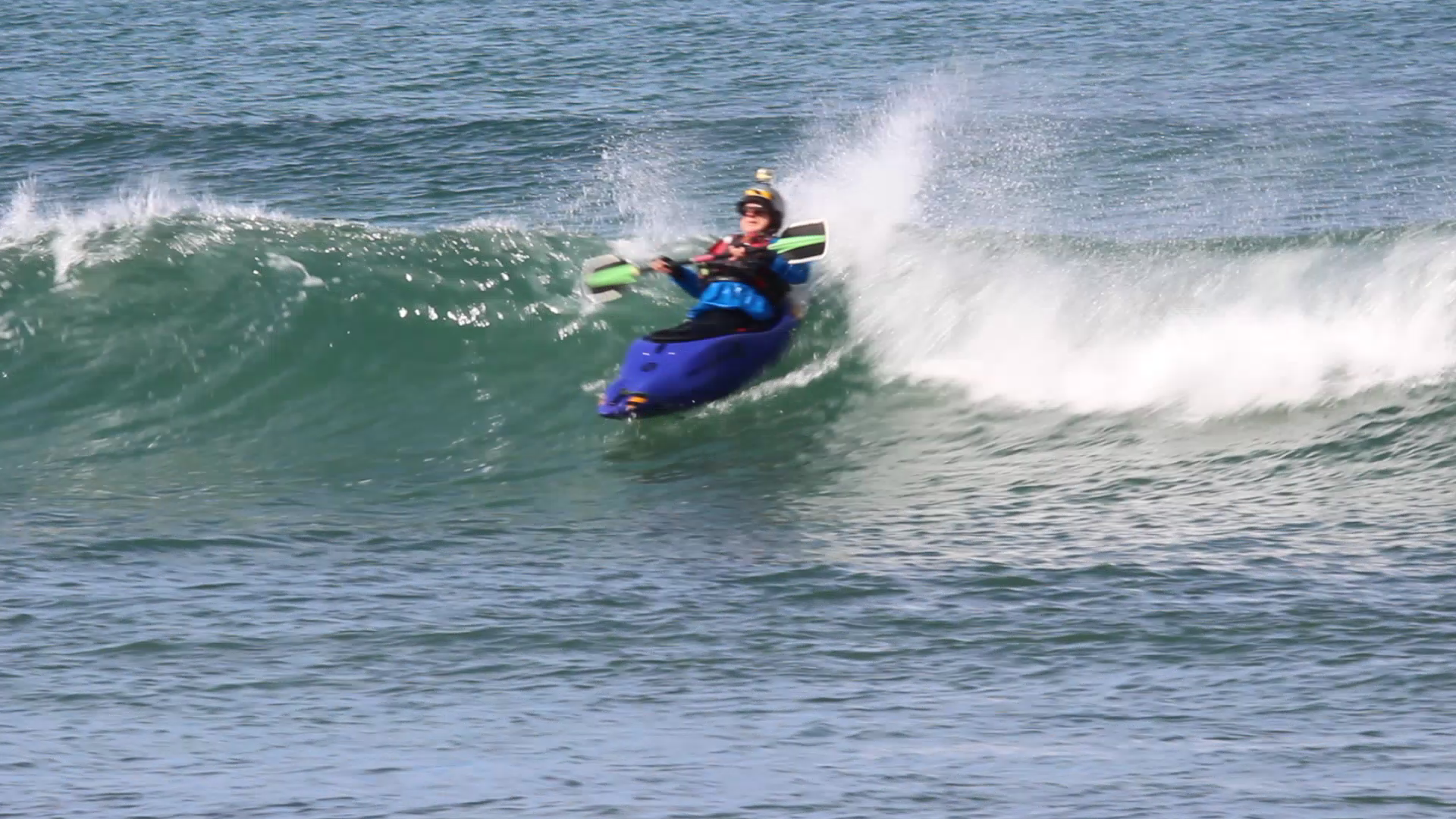
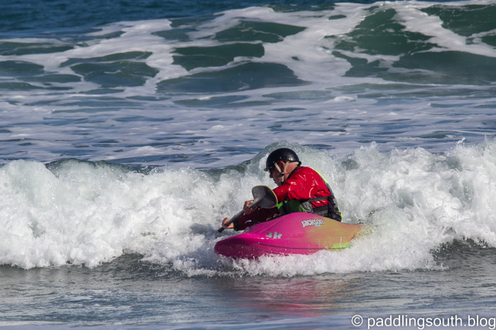
Back from meandering through the past I paddled out into a freezing morning to test out my latest kayak, a Jackson Rockstar V. I jumped a dumping wave and stayed upright whilst pulling a couple of 360 spins followed by a long backsurf. The next couple of waves were not so glorious, ending in a sound dumping as I tried a forward loop. The kayak felt great and will be better with a few minor seat adjustments.

Here’s a flat spin sequence. I promise to try it on bigger waves next time !

I found another kayaker (Steve) grabbing a few icy waves as well.

I only captured the last part of his wave

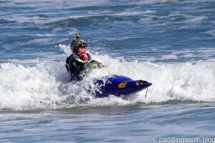
Here comes another 360 spin on a small wave and then back surf.

We bounced around in the waves until my body was near frozen then grabbed that last wave to shore.

Steve heads inshore. Frozen but happy.
Heading for a strong coffee and lemon cake.

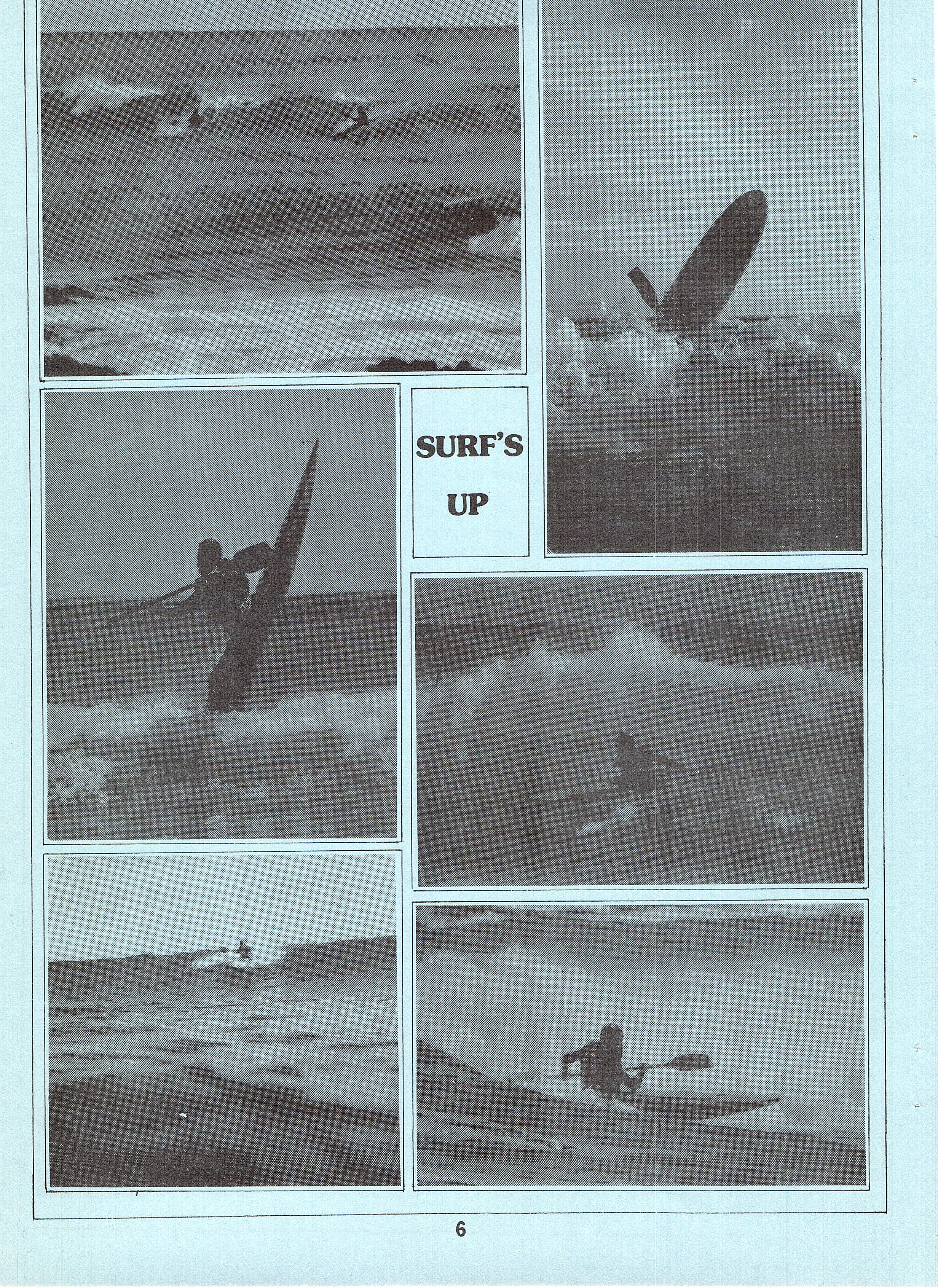
Back on shore and suitably warmed with coffee and cake I checked out a couple of archive boxes I had seen in my shed. Sure enough amongst the certificates and other stuff was an article written about our early Surf Kayaking in a magazine SA Canoeing 83.

I scanned some pages below and I remember the two people who produced it.
Phil Read who wrote the surf article
Noel McPharlin who took the surf photos using a Nikanos waterproof film camera

Yep I was there on another page as the first Secretary of Canoe Polo Committee that started a pool competition in June 1982. It seems a lifetime ago, probably because it was, and it meant that kayaks would become my recreation and occupation. Anyway, have a look at pages from that era.

Have a great day
Ian Pope

Mud Sweat and Gears

Glamping the Lavender Cycling Trail.

Another blast of wind hit, almost stopping me in my tracks. This wasn’t fair, I’m going down hill on a graded dirt road and I’m struggling to keep a constant speed. I picked up speed again and was whacked again by a side blast that pushed me across the road and into the shrubbery. Robyn was slightly ahead of me and fared worse, being smaller, and was off the bike.

The day’s ride had started with a warning of gale force winds about the coast but being inland we figured it would just get a little windy and we would be able to get protection in the valleys, even if the hilltops were gusty.

Even the Corellas had found the trees too windy and opted for safe ground

We approached the Old Rockleigh School House and sought shelter for a food break. I knew that the wind would only get worse and hoped we could make our way to Mt Pleasant without any more incidents.

The Old Rockleigh School House now a campsite on the trail

On the road again, I lost count of the number of times we were pushed sideways across the road or had to brake to save us from another visit to the trees that lined the route. Tree debris was all around, just waiting to catch a derailleur and I also took timber on the helmet. Just to make things harder, rain drops started to splatter on my glasses. Nice day for a ride.

We had been in Western Australia for 6 weeks, where it rained almost continually on the Muda Biddi Bike Trail, making it impossible to make any good riding days. The areas that weren’t a foot deep in mud were a foot deep in running water. So we opted for a glamping trip to the Lavender Cycling Trail in South Australia, a trail that runs 300km from Murray Bridge to Clare. Glamping meant using our caravan as a base and riding out and back day loops to cover the 600km needed .

The riding was challenging due to the weather but certainly rewarding. There were so many interesting and unusual sights as we looped from South to North.

So what’s this tiny house doing set on the hill ?

Yes it’s a model house but why, what for ?

Look at the next photo to get it in perspective.

Yep it’s a jumping course for ponies.

I was impressed by the number of churches we passed, most being still in use and well cared for. This was an area settled by followers of the Lutheran Church as well as many other Christian religions. Sadly many of the towns they lived in have disappeared.

Sitting on the crossroads
No ones been through that gate for a while
Freshly mown grass and look at the size of that bench seat. Maybe that was the old “Smokers Corner”
Another well cared for exhibit

Not only were there places of worship for the living but also places to house the dead. The Shannon Family Mausoleum on a hill above the town of Moculta has 24 residents with room for up to 80. Oddly enough this place of the dead was the only place we saw another rider on the trail. They were heading over the next hill as we approached and we never saw them again.

The Shannon Family Mausoleum. Resting place where the last person took up residence in 1962

Apart from the old buildings, quaint villages and churches there was some great landscapes to admire. We travelled on typical Australian dirt roads and saw some iconic spots.

I think every cyclist on the trail has this photo
I was captivated by the tree and granite boulders
Dirt roads and gum trees. Some of my favourite things.

We had made it to the town of Eudunda where the loop to Inspiration Point starts. Yep, it was still raining and predicted to get heavier. We rugged up with every bit of warm clothes we had and charged on.

Lunch amongst the Cactus

We had to make a few route changes due to the mud. Cyclists know it as the Mawson Mud as it famous on the 800km Mawson Bike Trail. It comes in two colours. Black oozing mud that squelches under your tyres, splattering everywhere and red that simply clags up your wheels, chains, derailleurs and you, making movement impossible.

We tried this road but eventually had to back track
We knew we were heading into red mud country

Re-routes were interesting. This one being because the normally dry creek crossing was anything but dry. It was also going to be the course for a car rally in a few days. Good luck with that !

It always pays to carry your reading glasses. Yep, remember that in future.

Then the rains really hit us. We had passed the highest point of the ride and had only to coast into Clare but with pouring rain we decided to cut the ride short. We had ridden the last section before and knew the red dirt roads would be impassable with the only re-route being onto busier roads, so we called it a day and headed home.

A great ride in interesting country. In winter it’s a sea of green and in summer a scorched earth under a blazing sun. Ride it whenever you can and experience the landscape.

WE LIKED
Green pastures
Cloudy brooding skies
Kangaroos bounding along side us
Large flocks of birds
Wombats in their burrows
Stone buildings of all shapes and sizes

WE HATED
The wind

The Lavender Cycling Trail has it’s own website with lots of articles and planned routes as well as a Ride With GPS download of the trail.

BTW. Mud Sweat and Gears is a group of distinguished riders that raise money for the WestCare homeless shelter in Adelaide.

Happy Riding
Ian and Robyn.